Live Auction For Sale

Otto E Lueking Jr Estate Land Auction

Yuma County, colorado  |  3,729± Acres

Overview

Rare opportunity to purchase 3,729.1± total acres of pivot irrigated, dryland farm ground, pasture and improvements all located in productive Yuma County, CO. Offered in 19 Parcels, 5 Combos, Pivot Irrigated Unit, East Unit, West Dryland Unit and Single Unit.

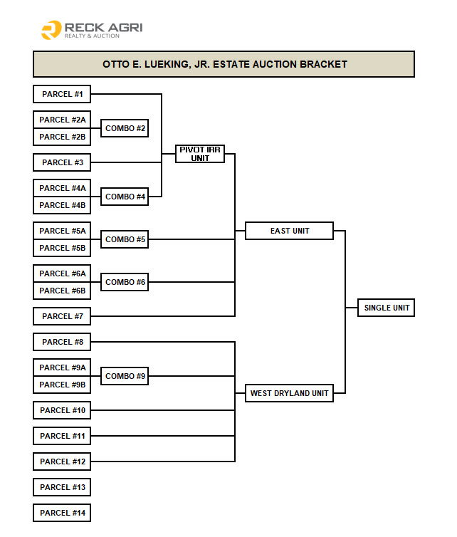
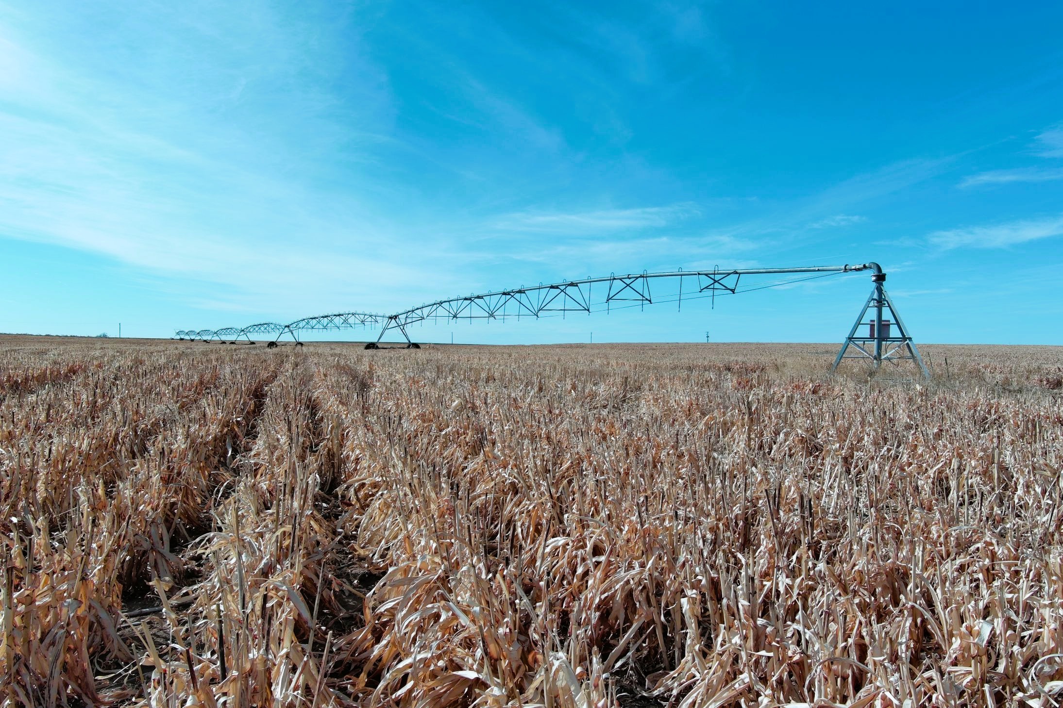
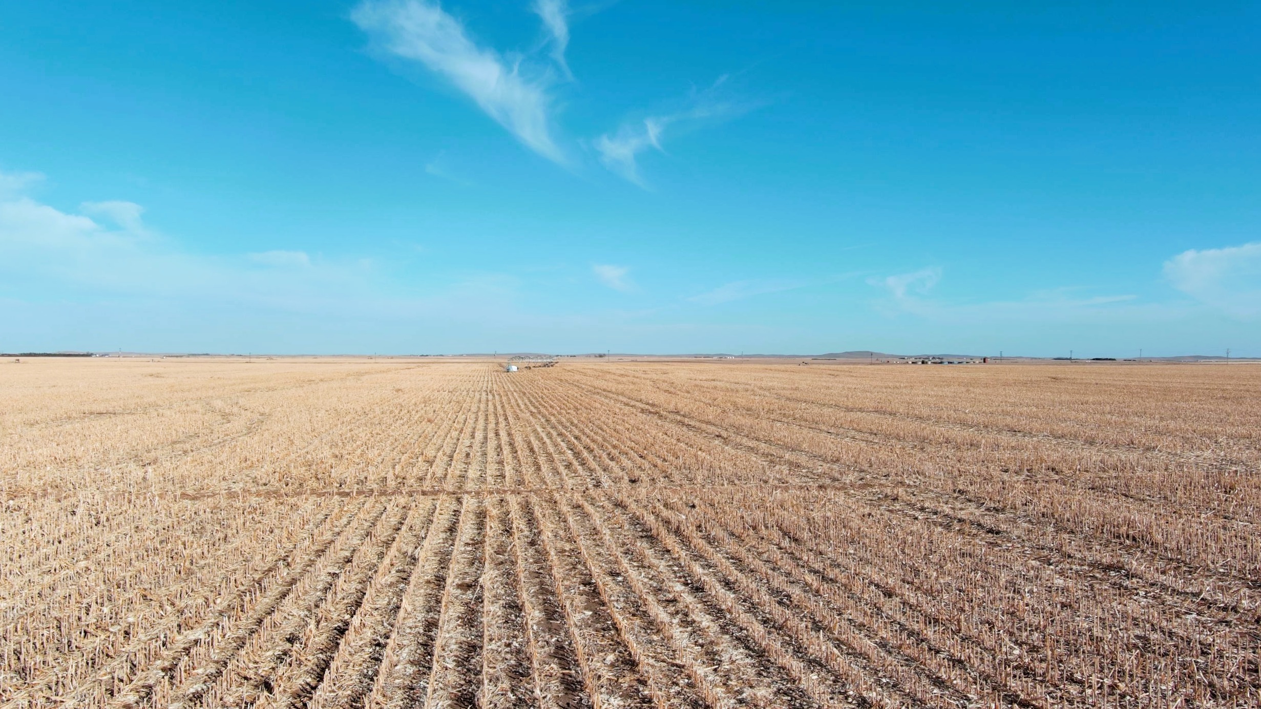
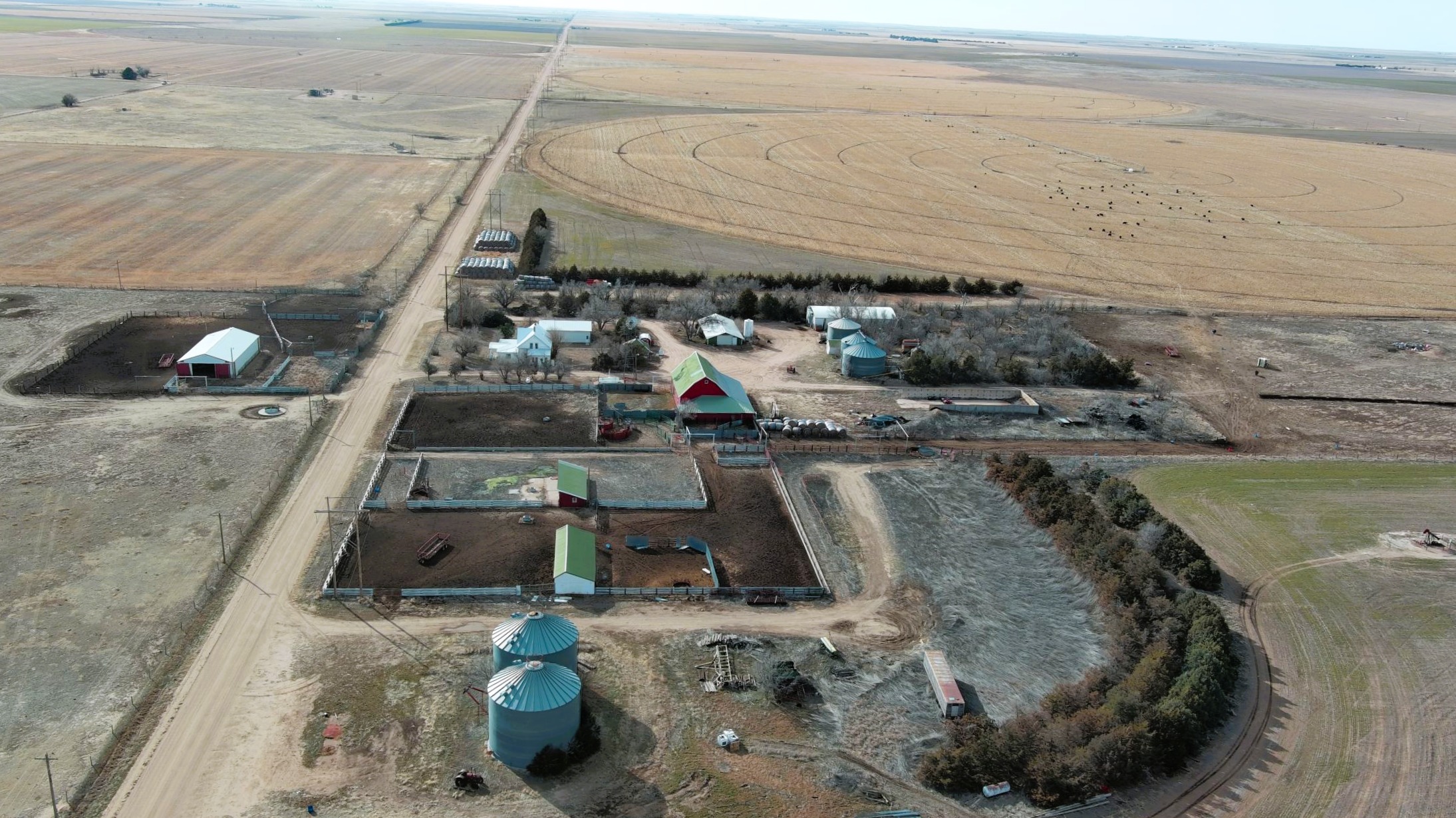
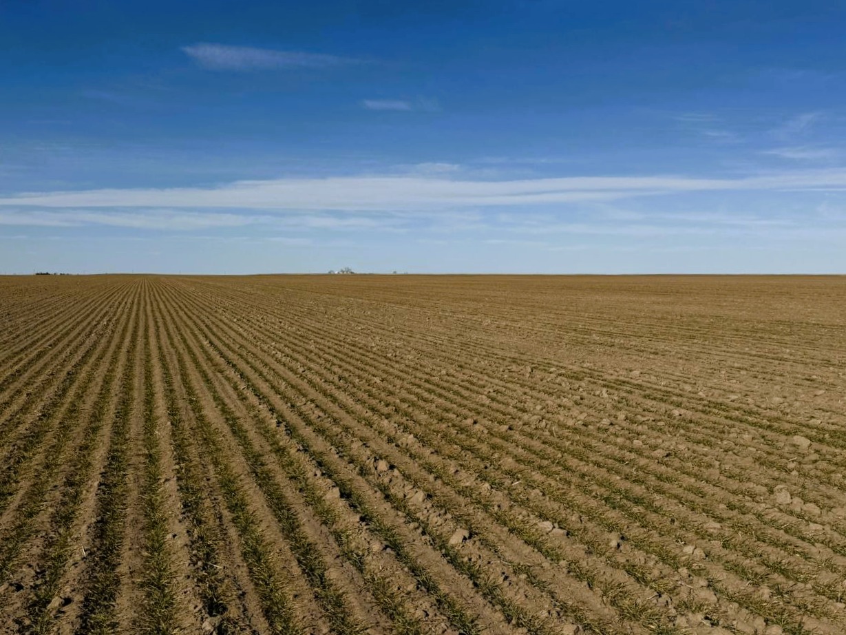
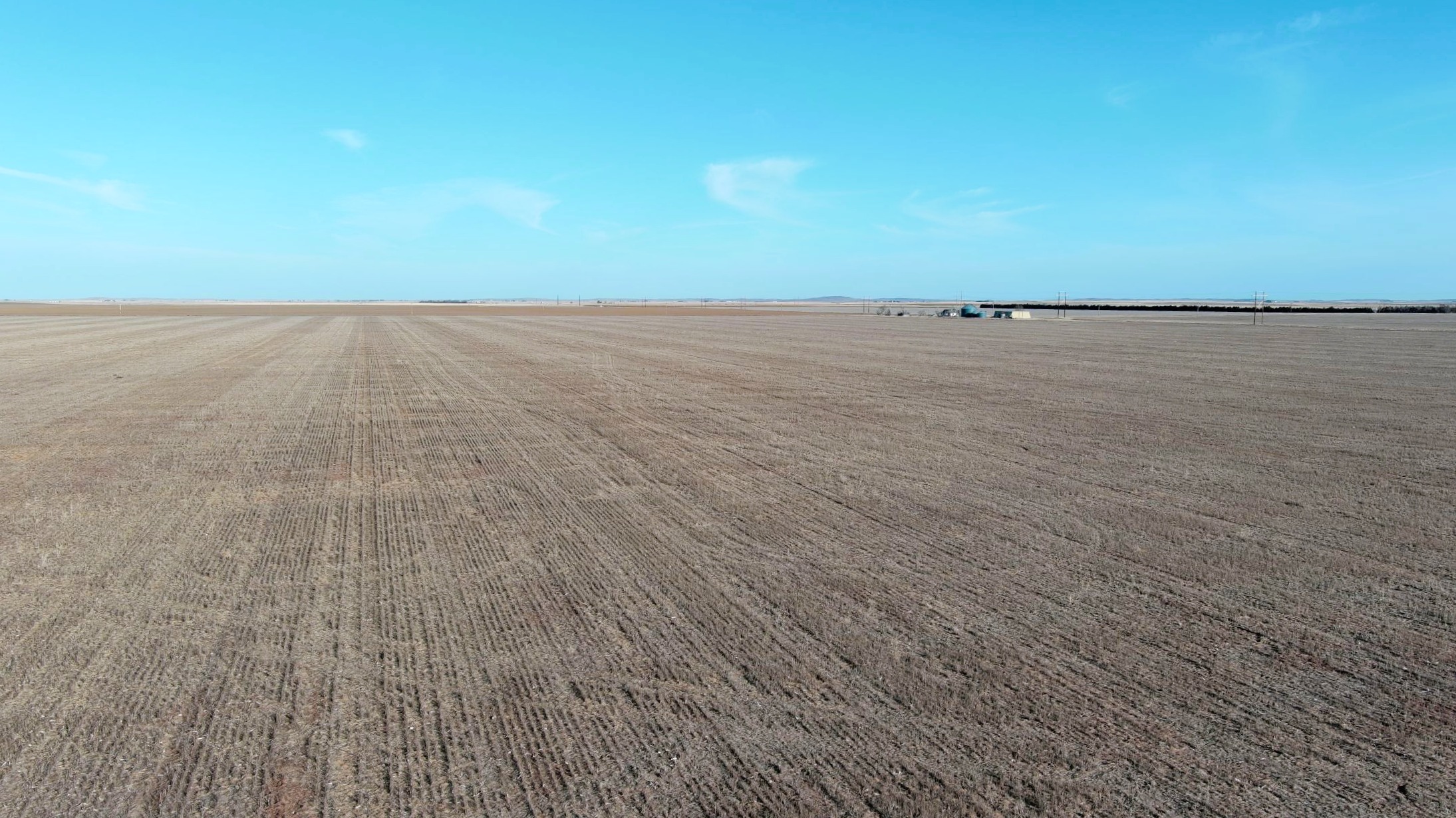
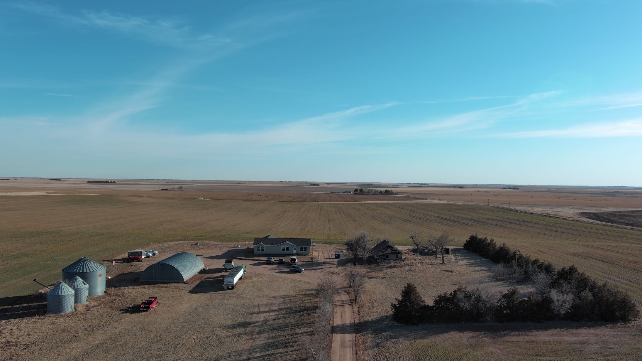
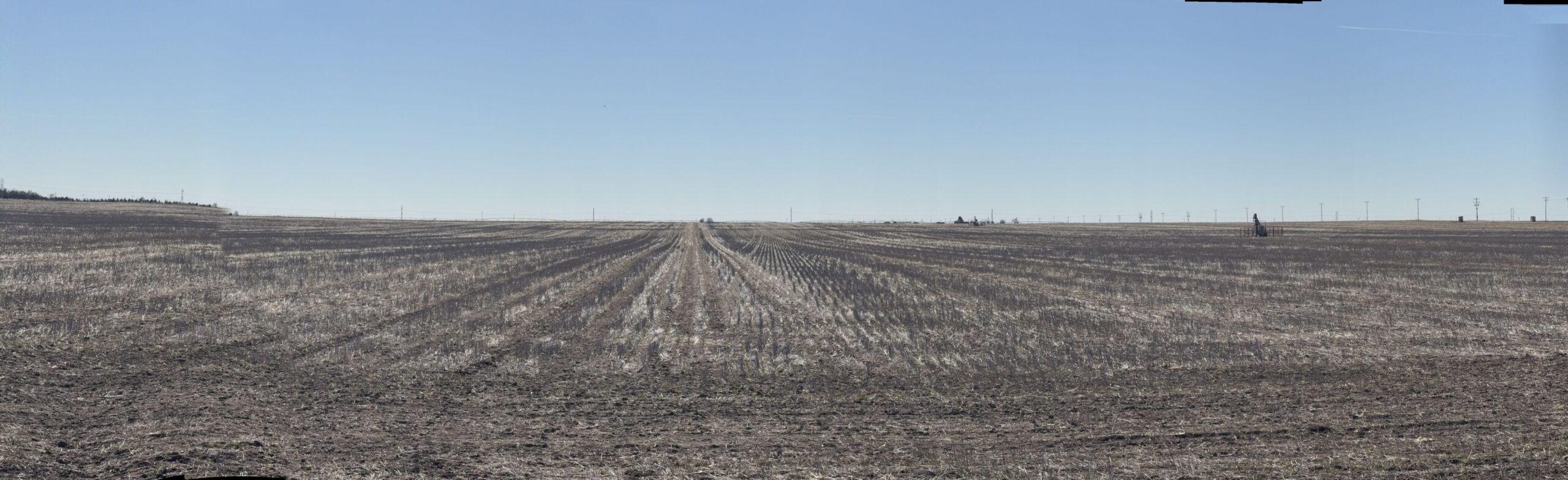
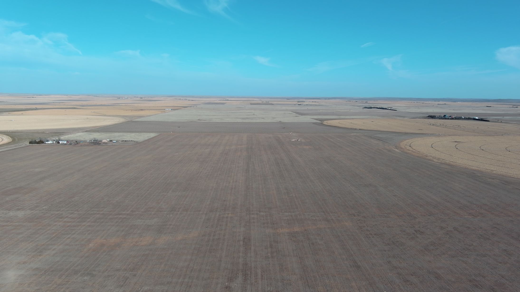
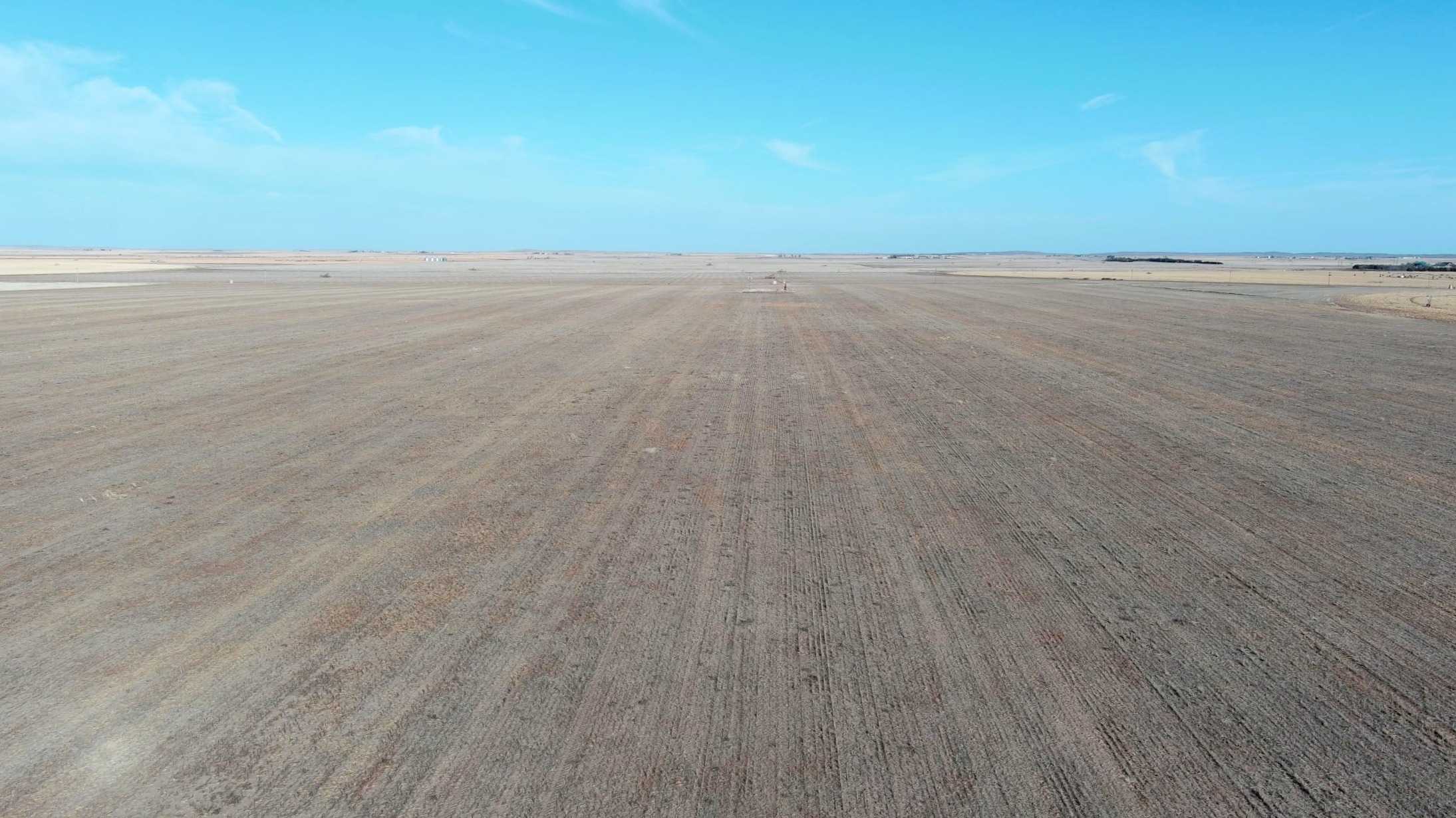
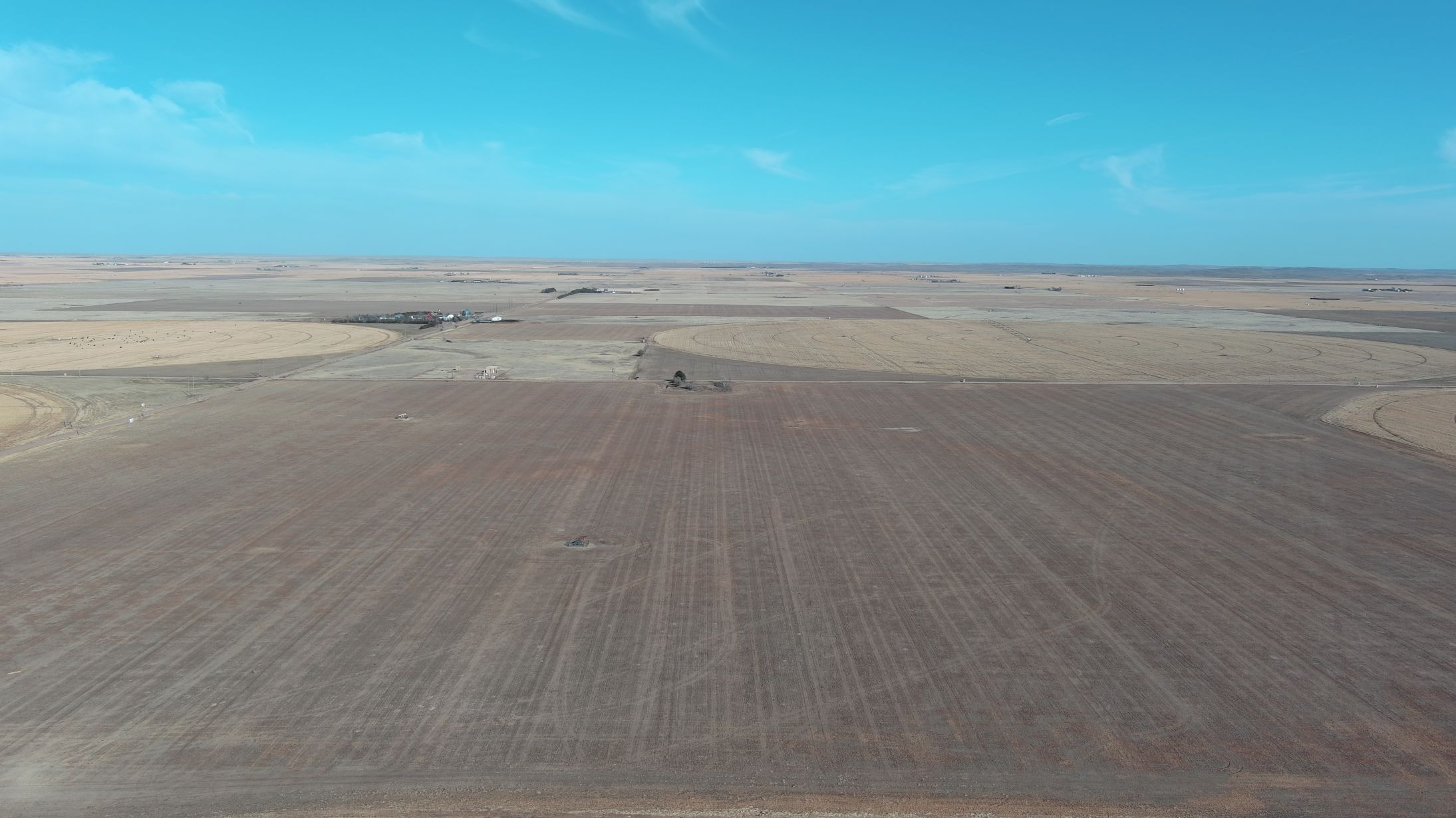
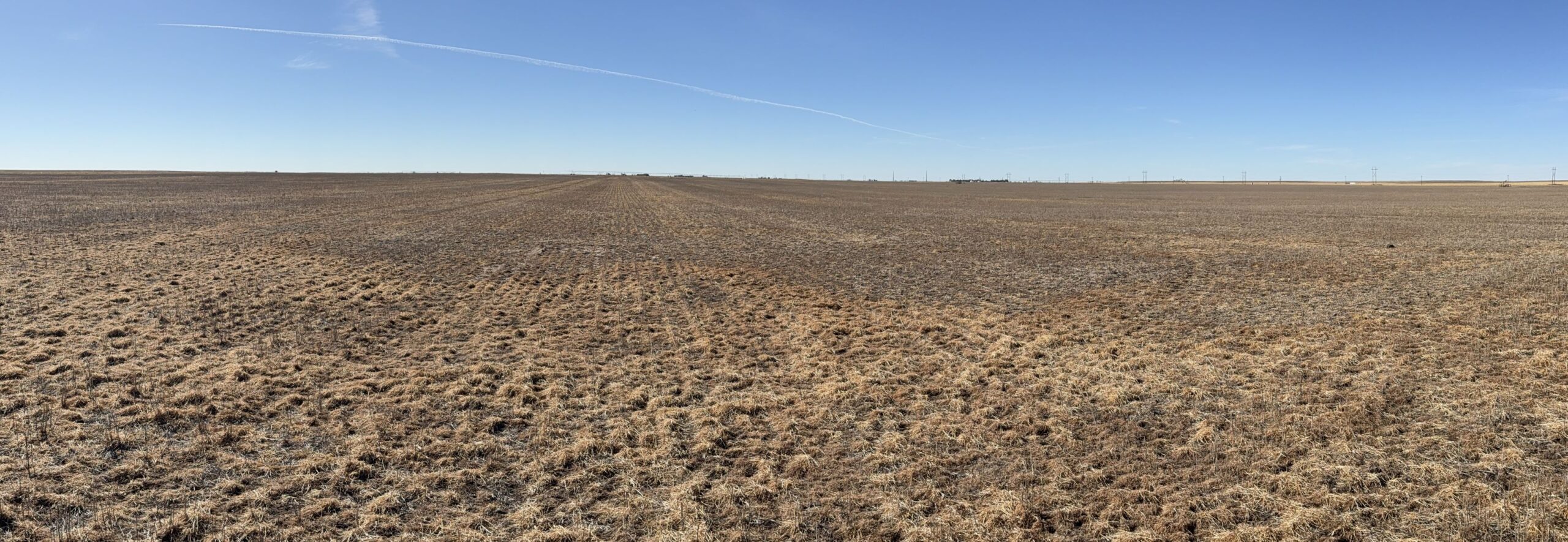
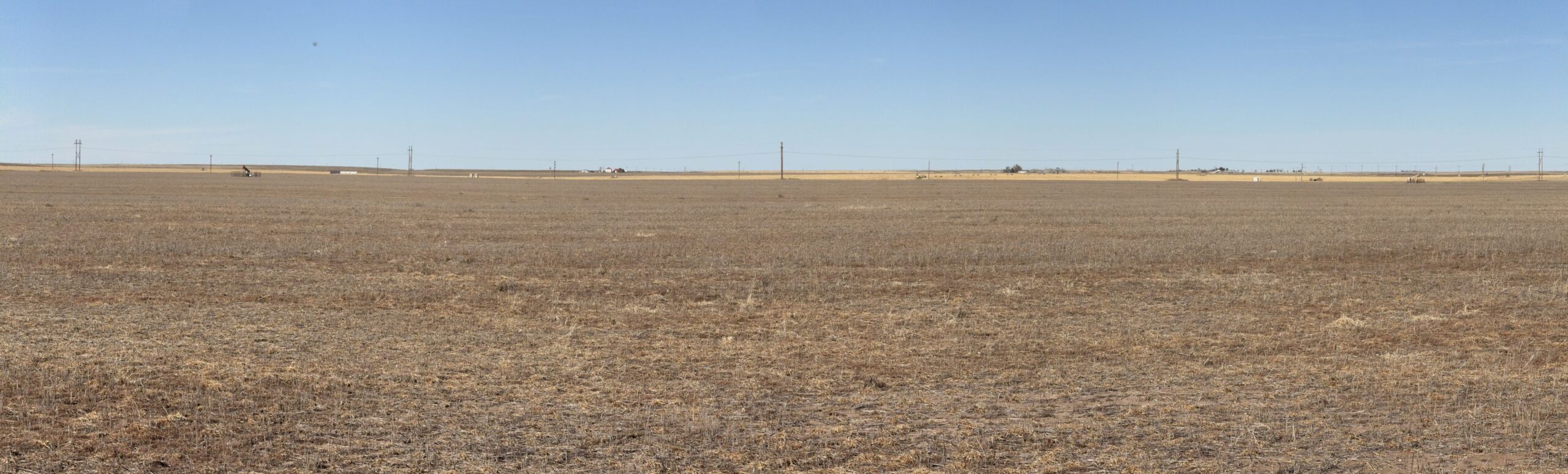
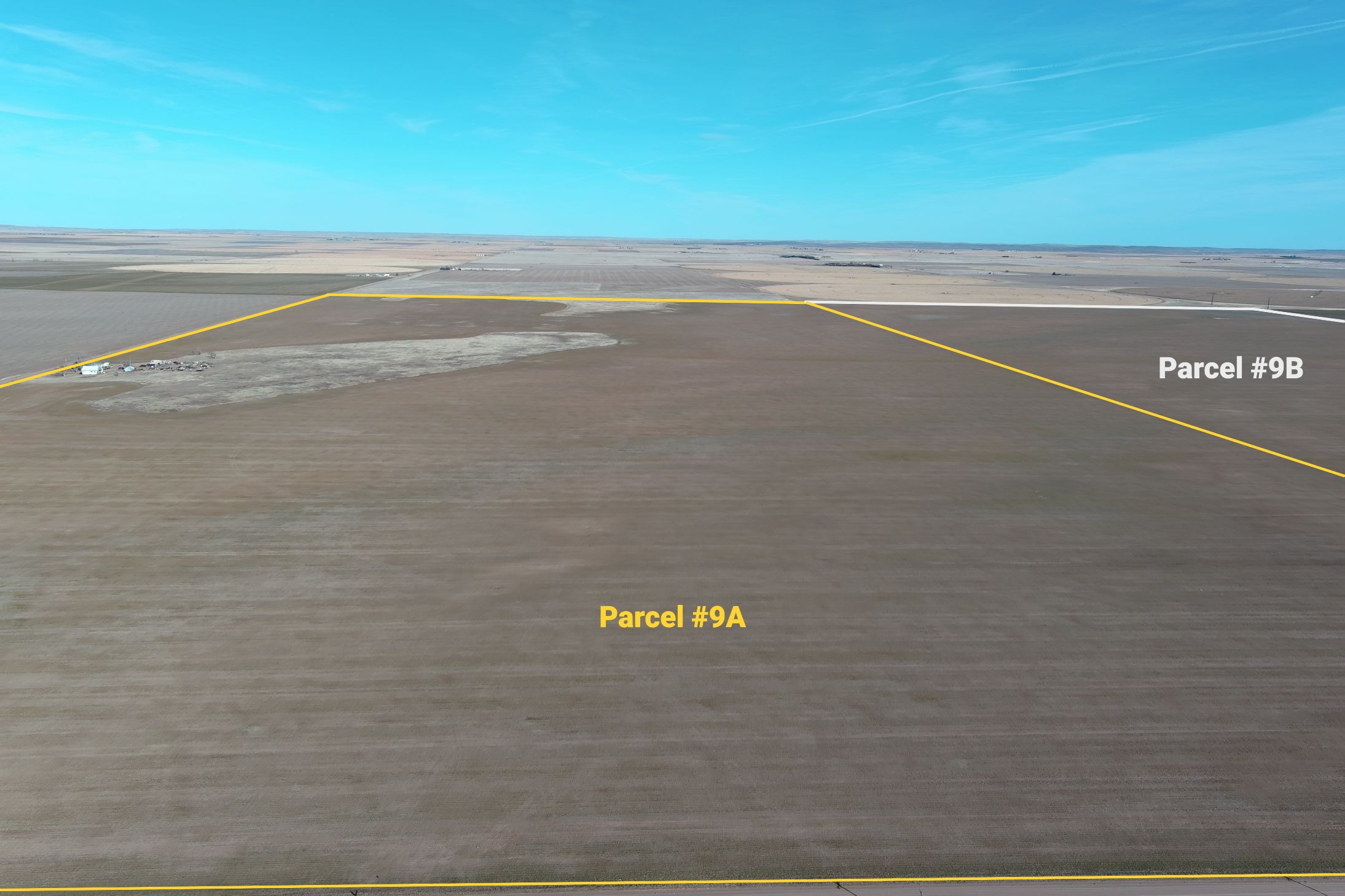
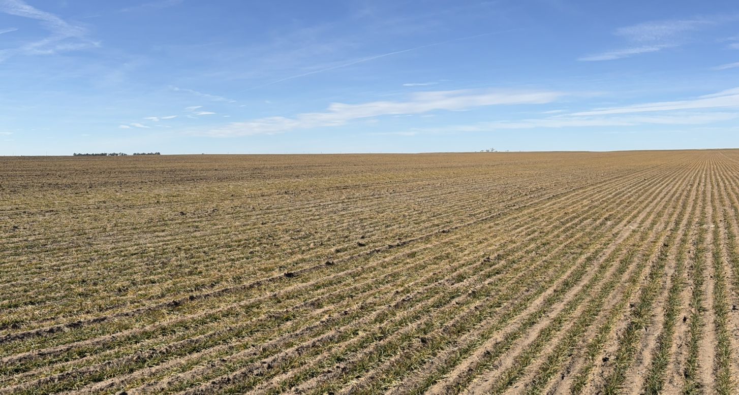
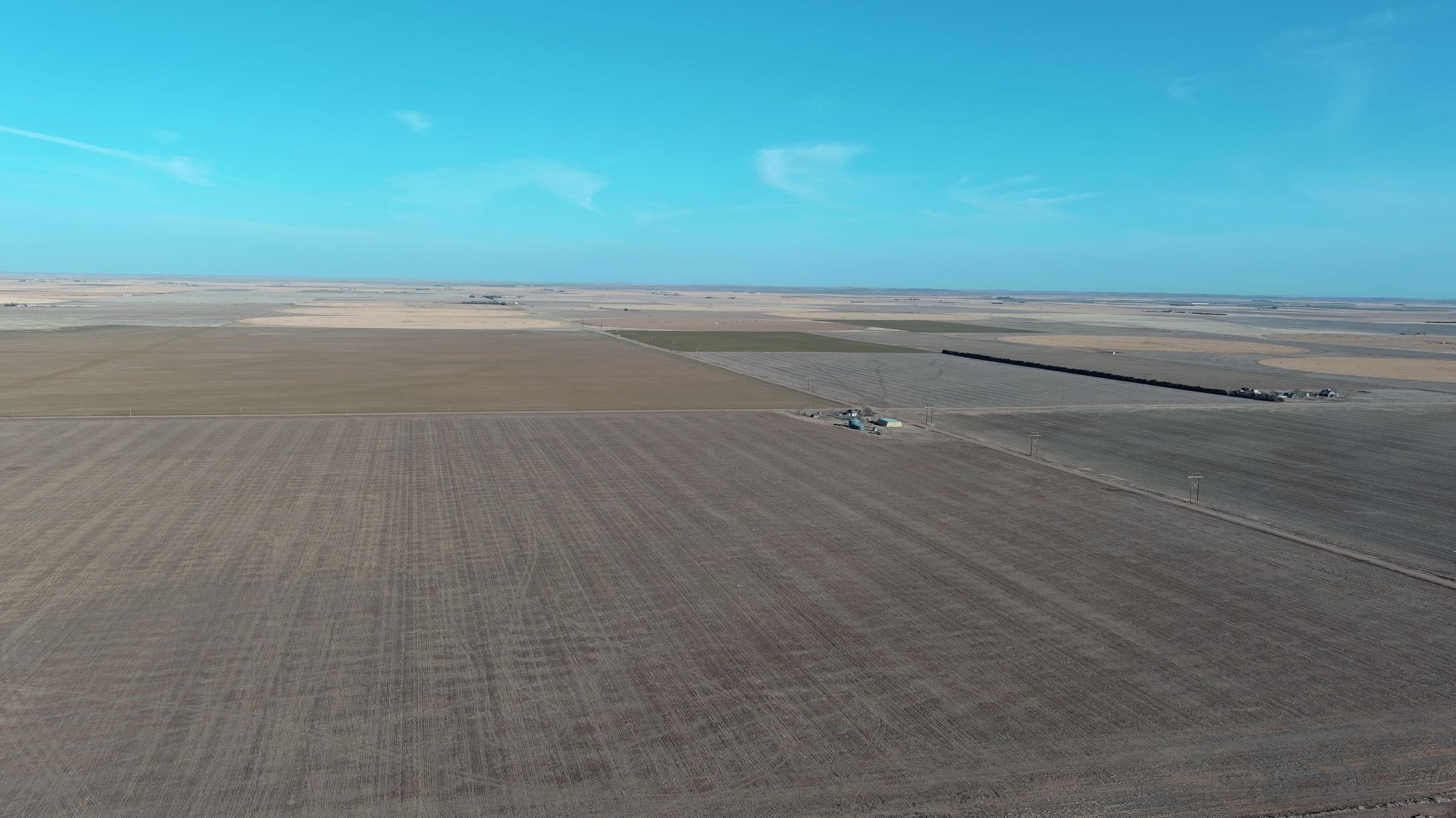
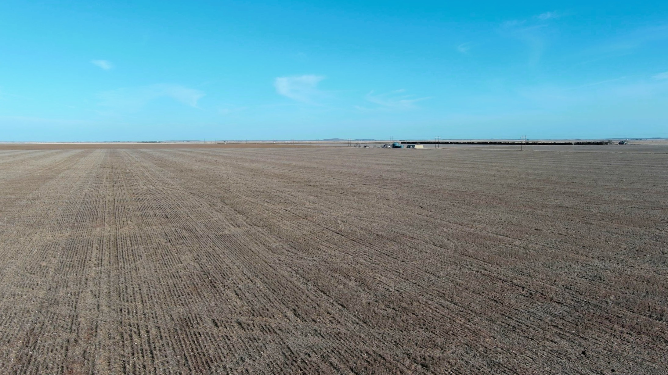
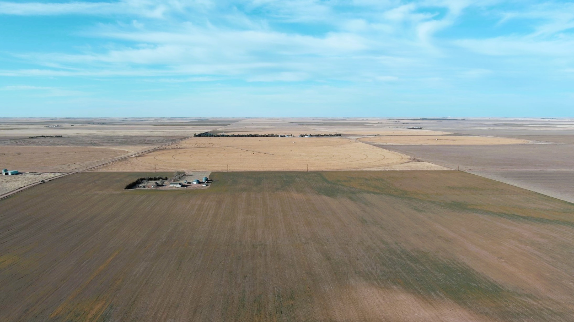
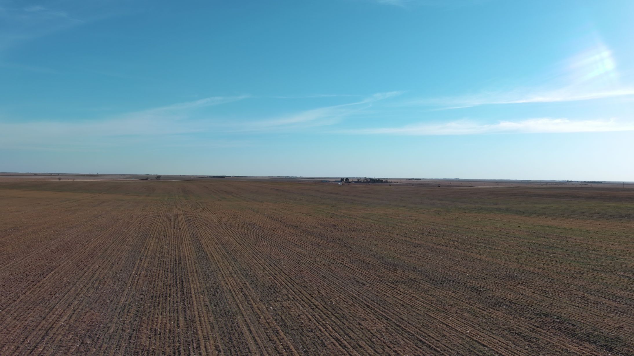
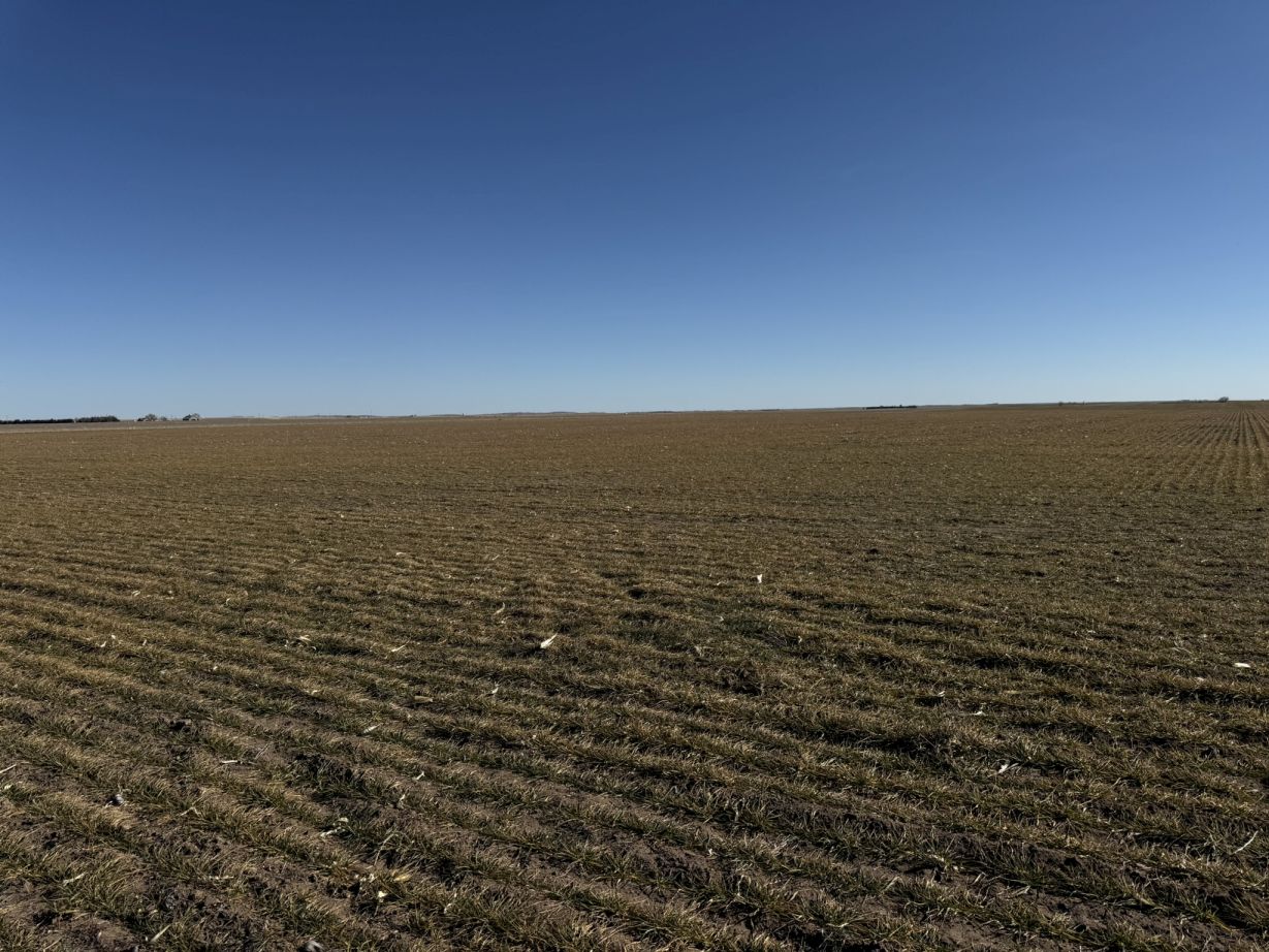
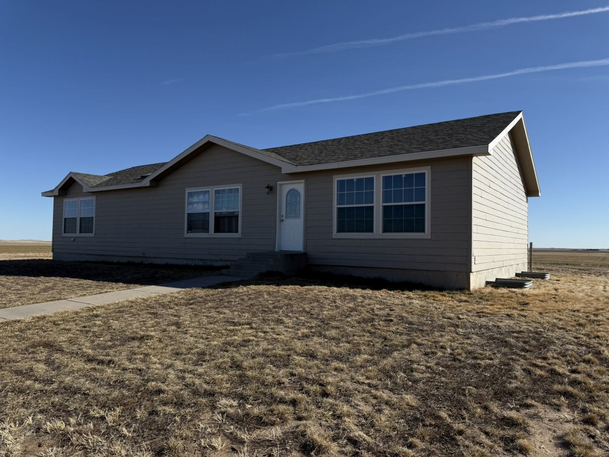
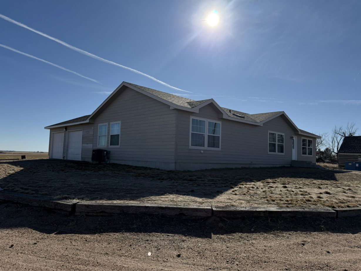
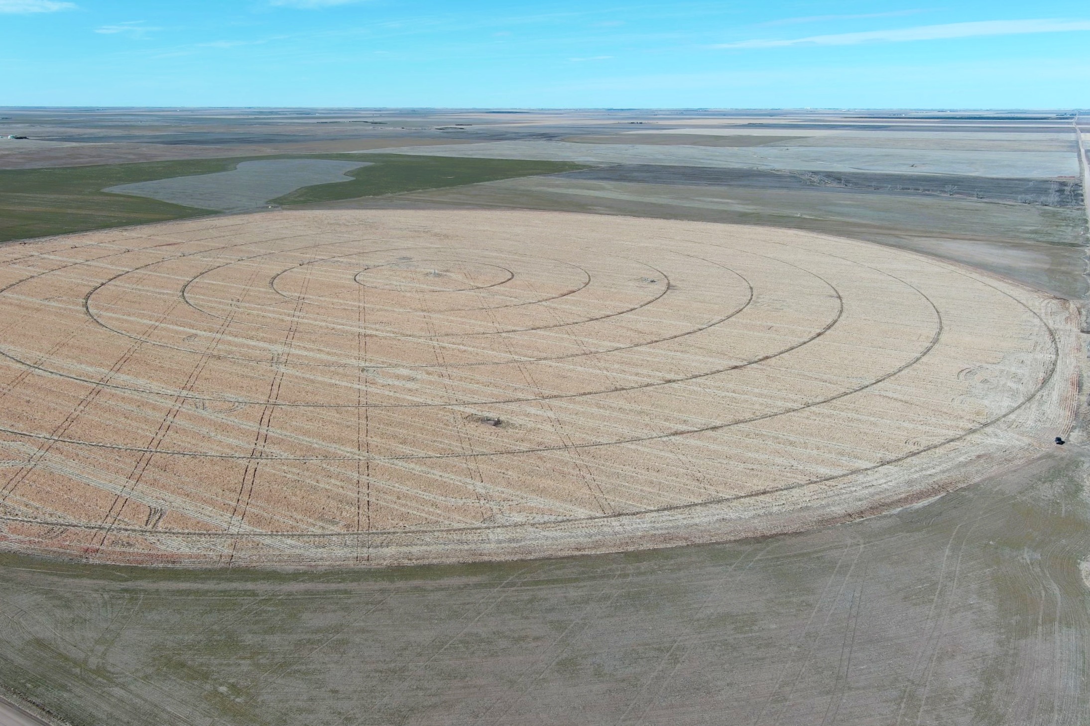
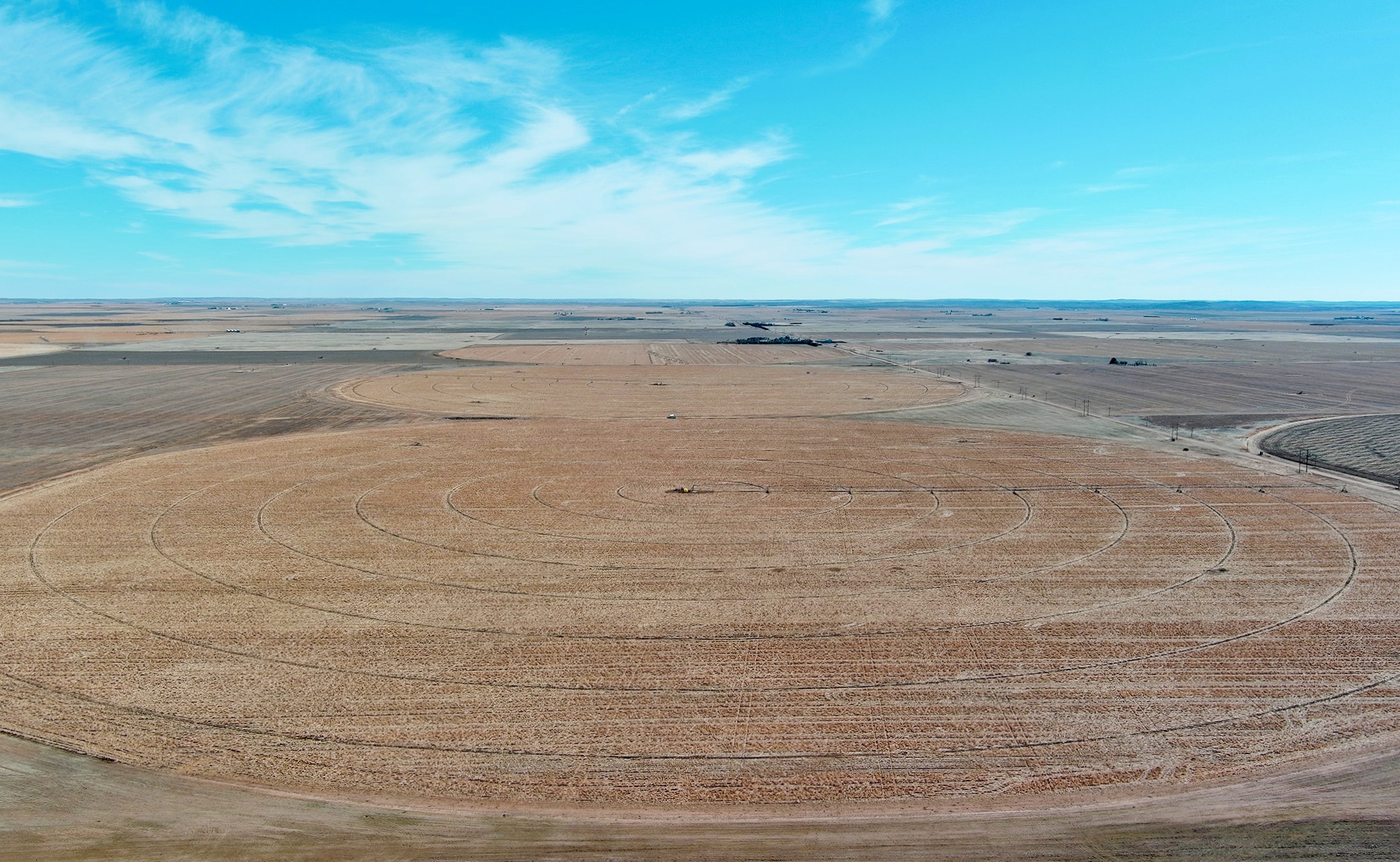
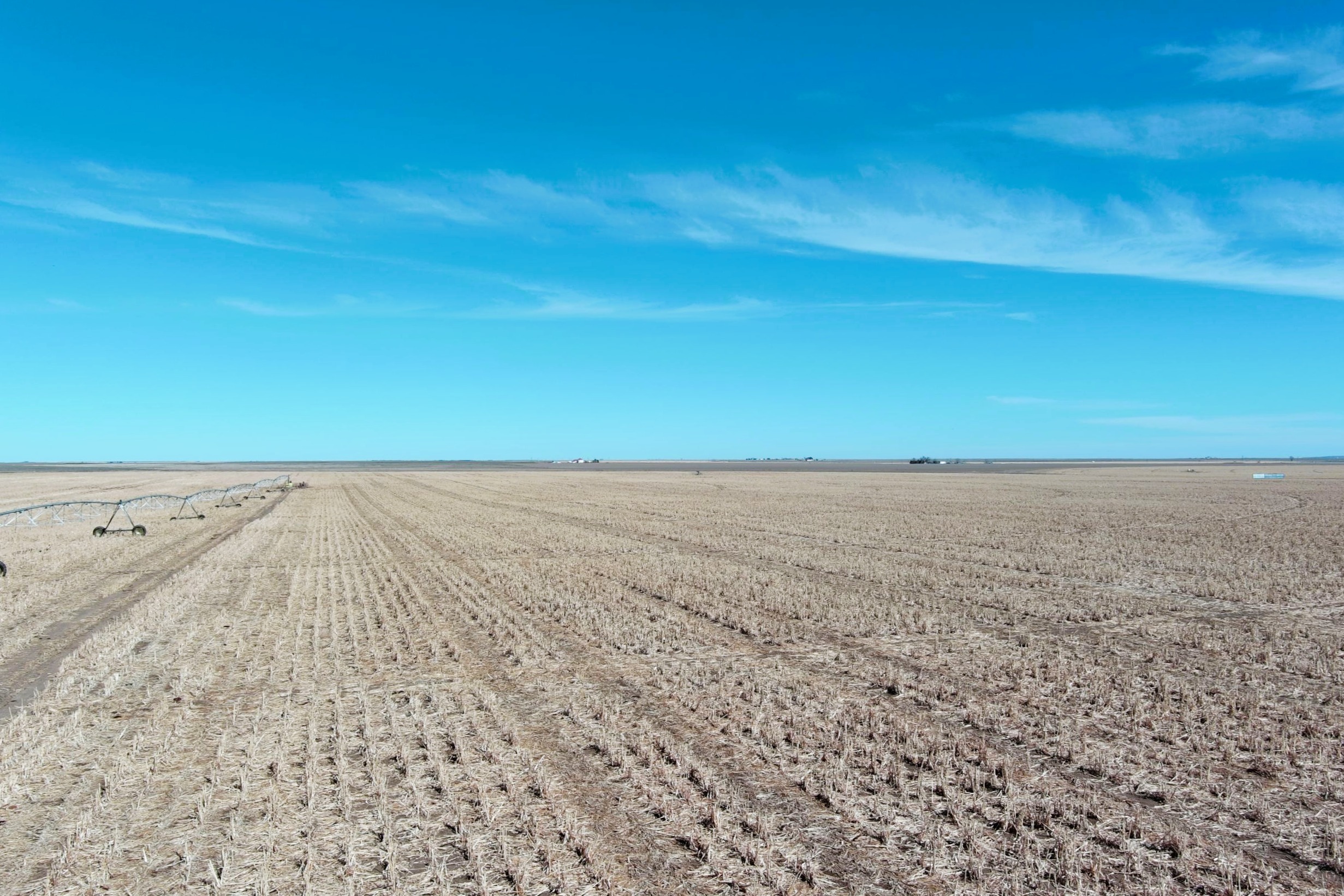
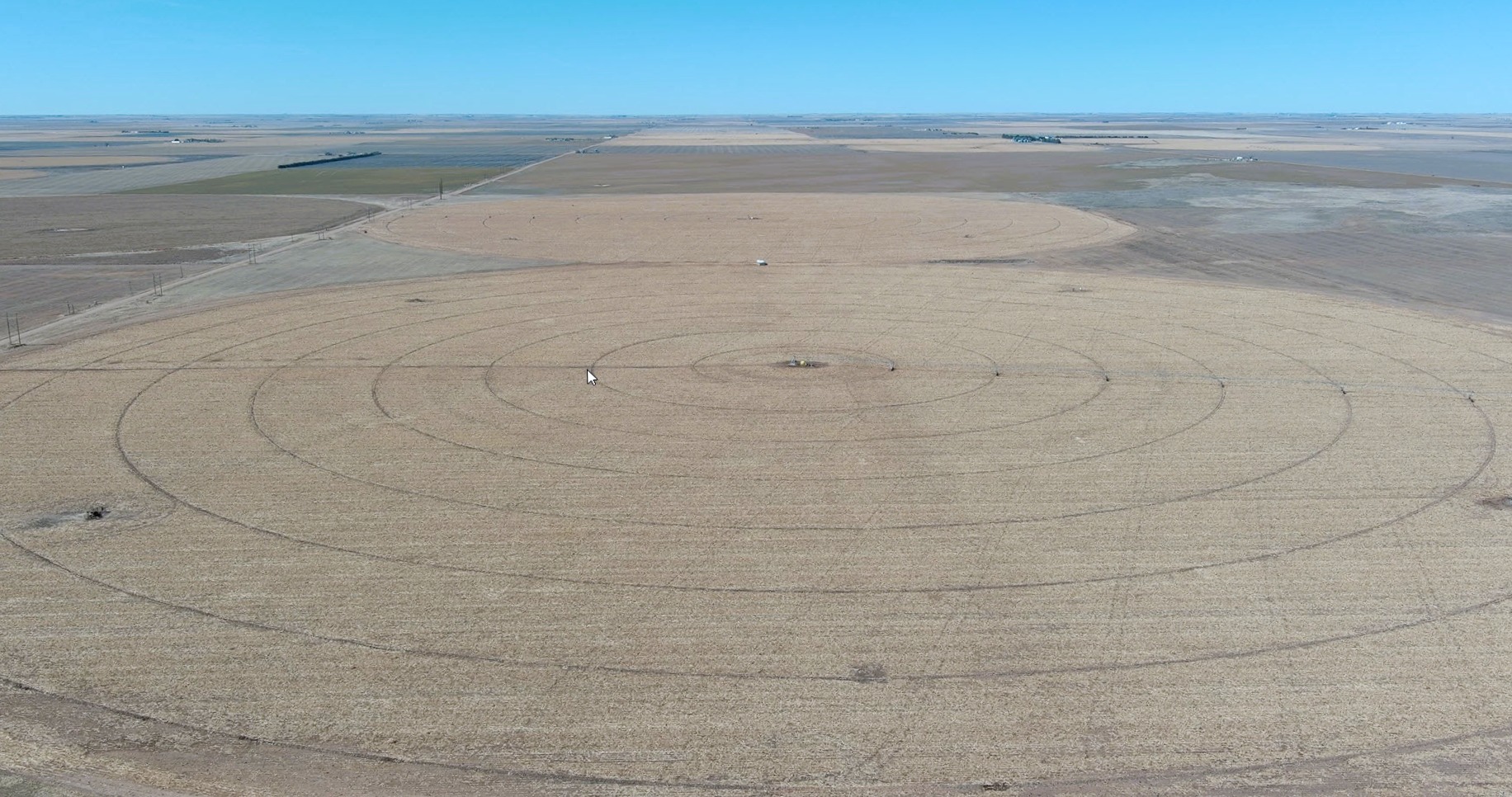
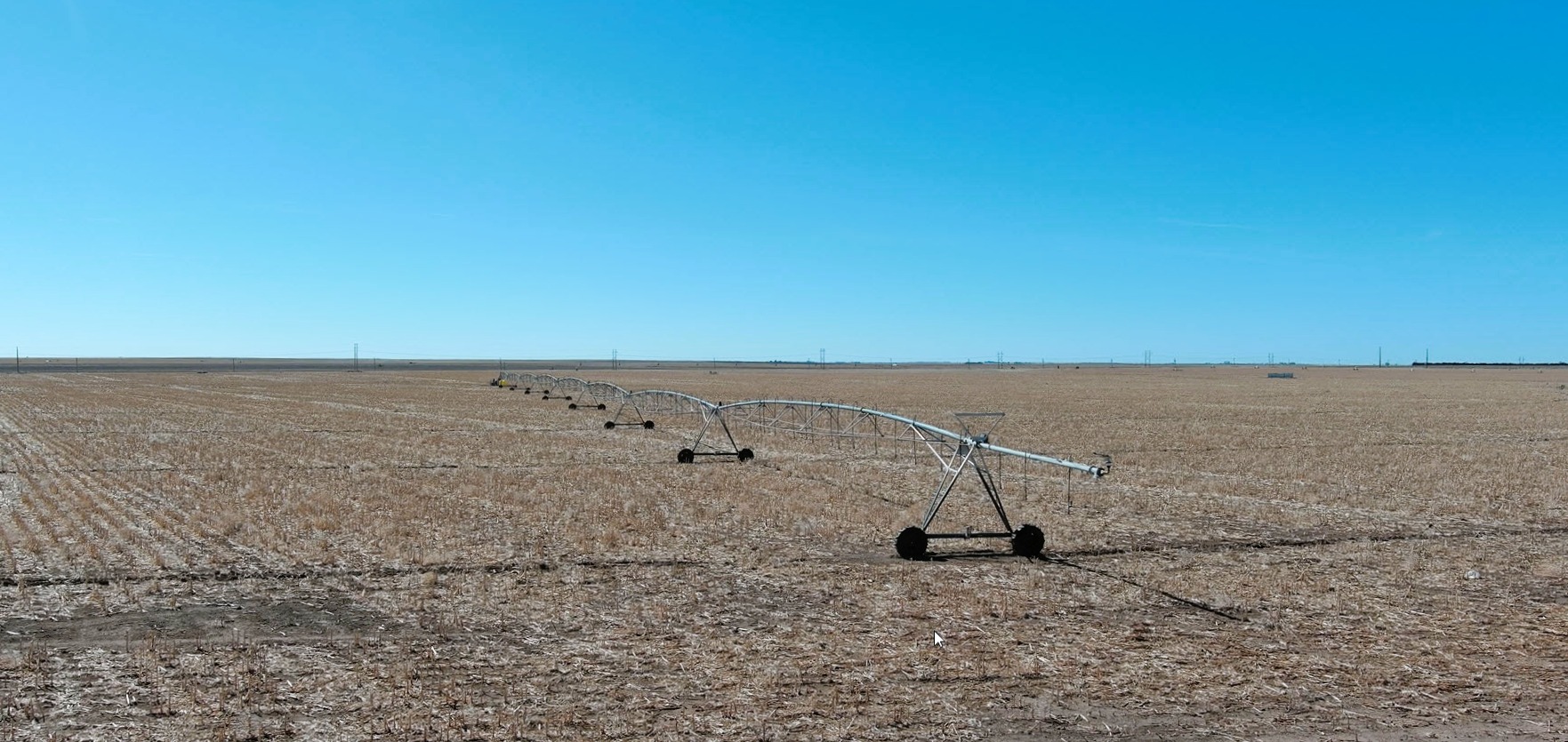
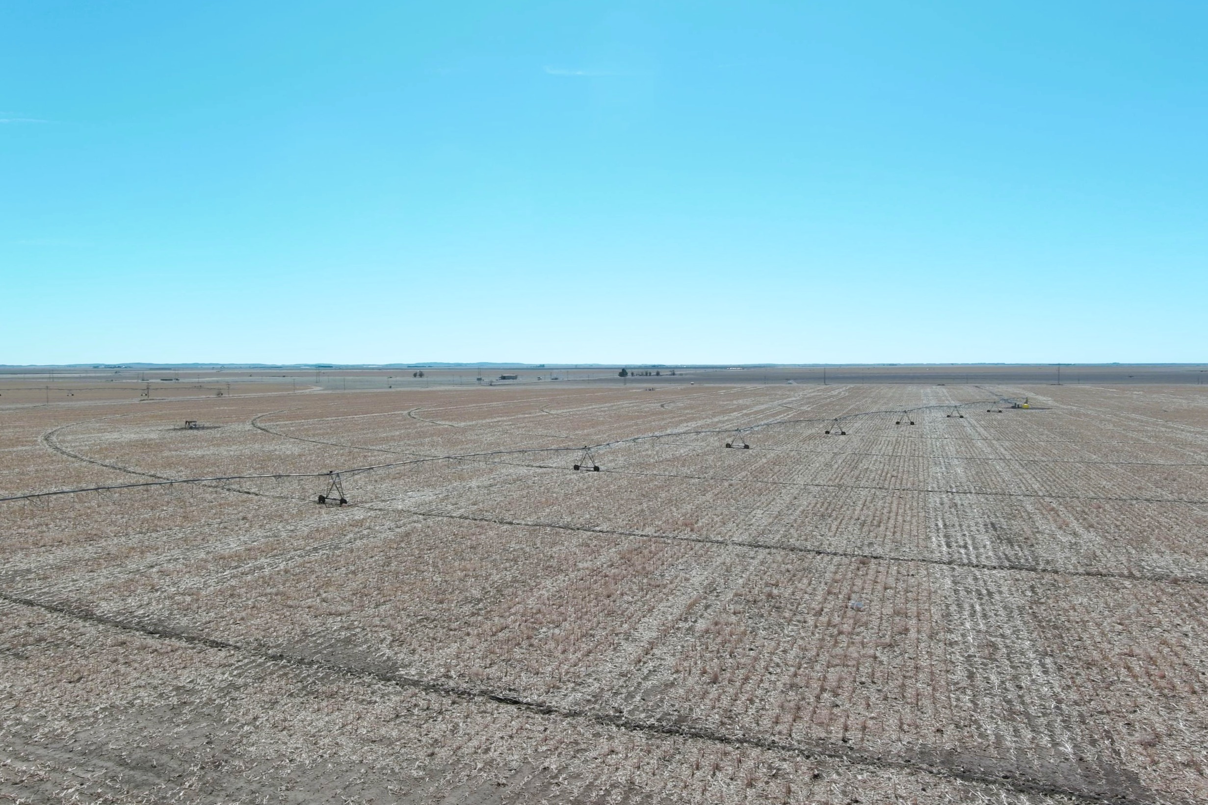
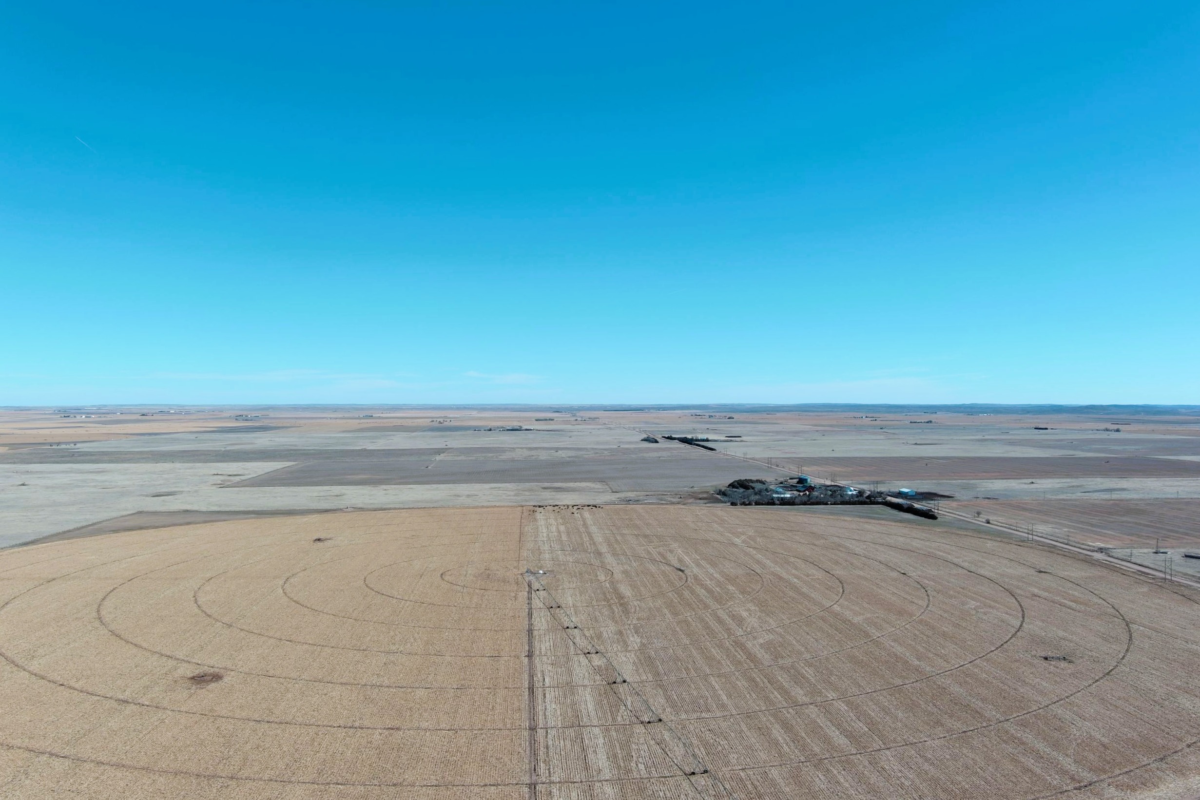
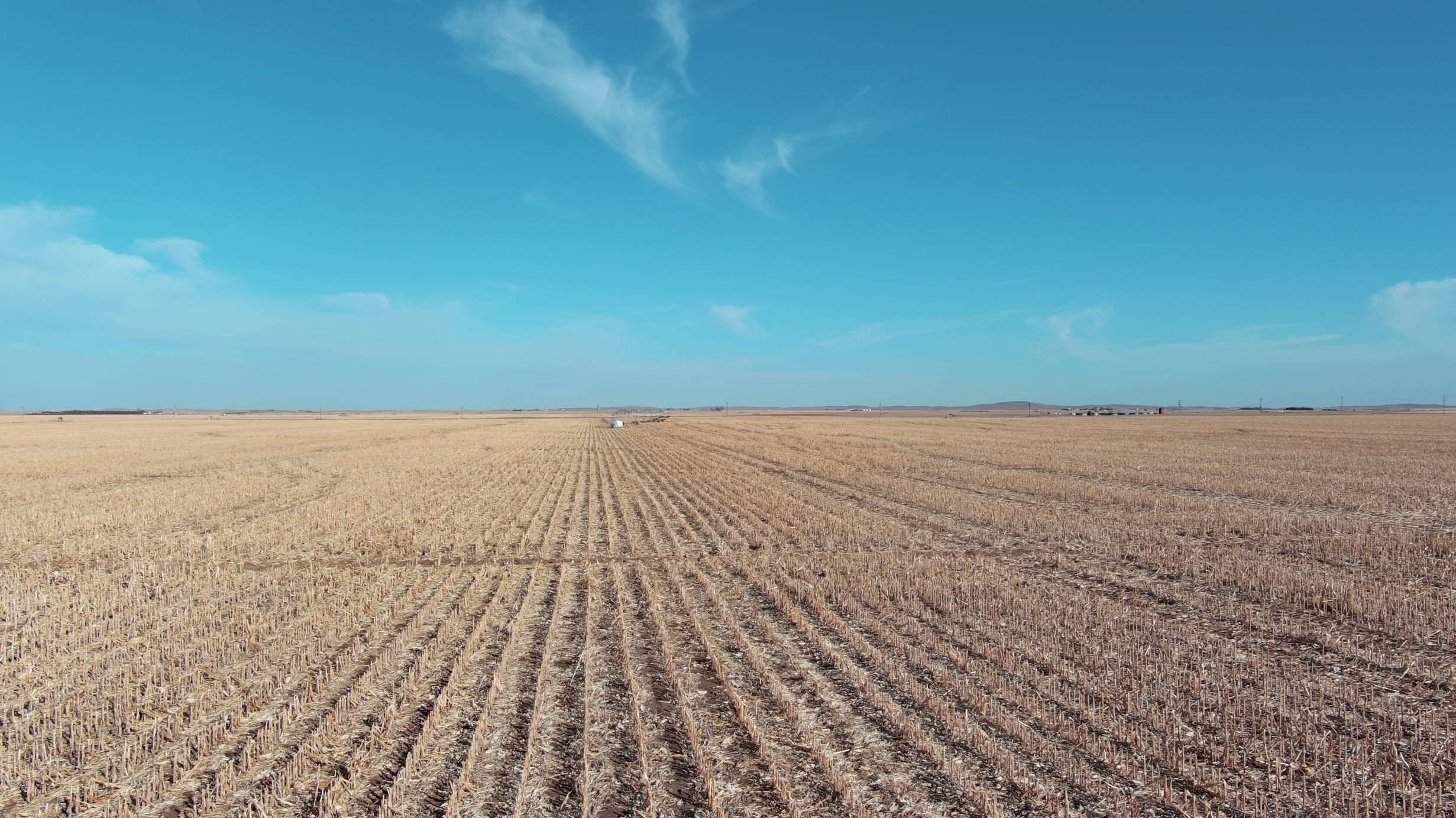
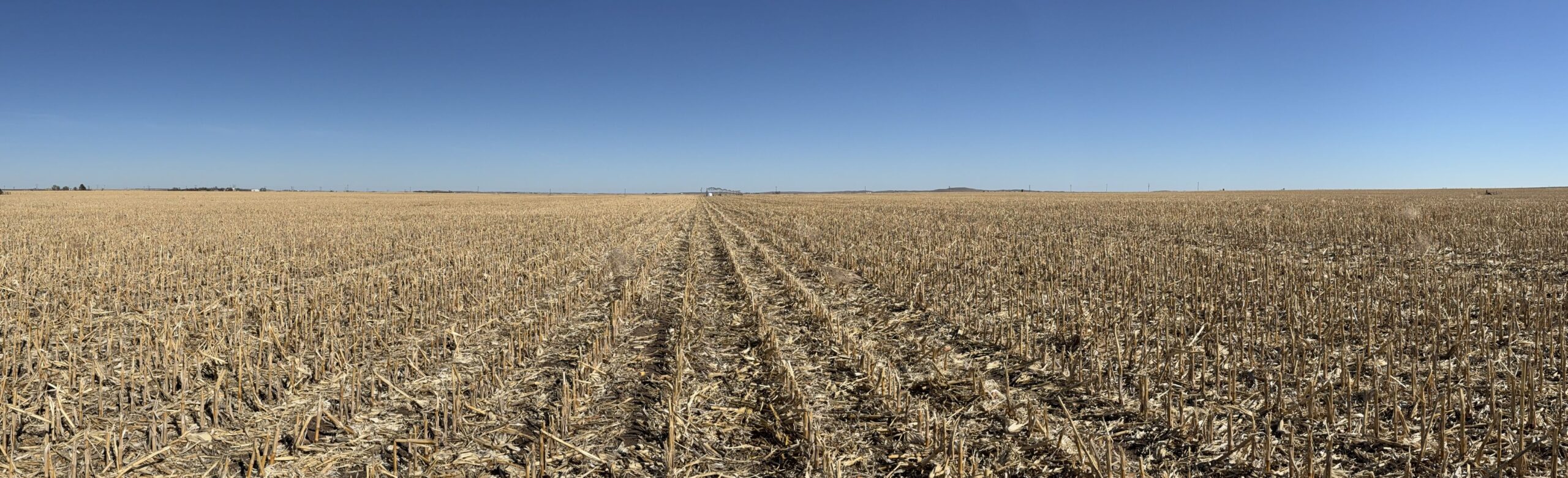
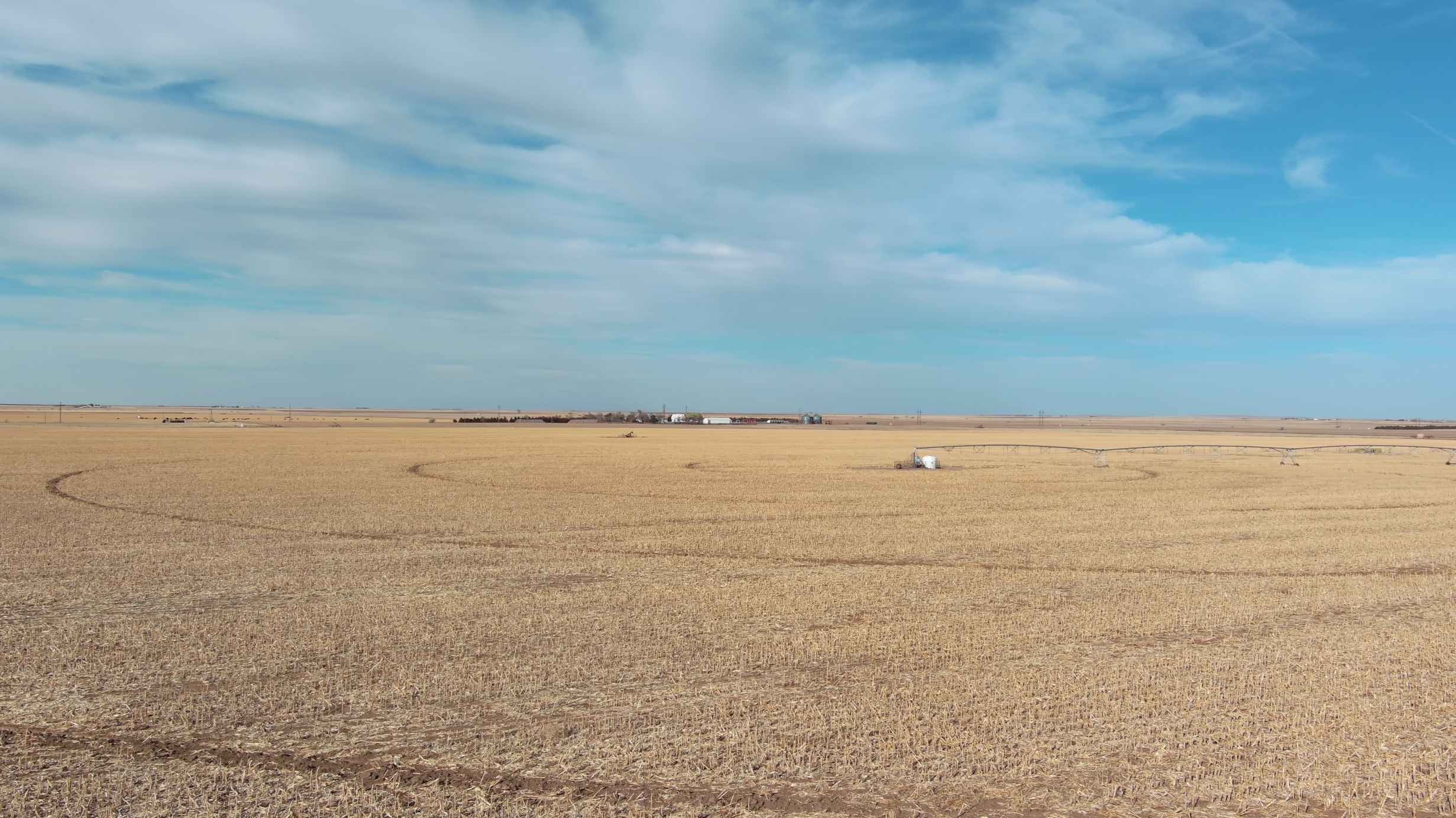
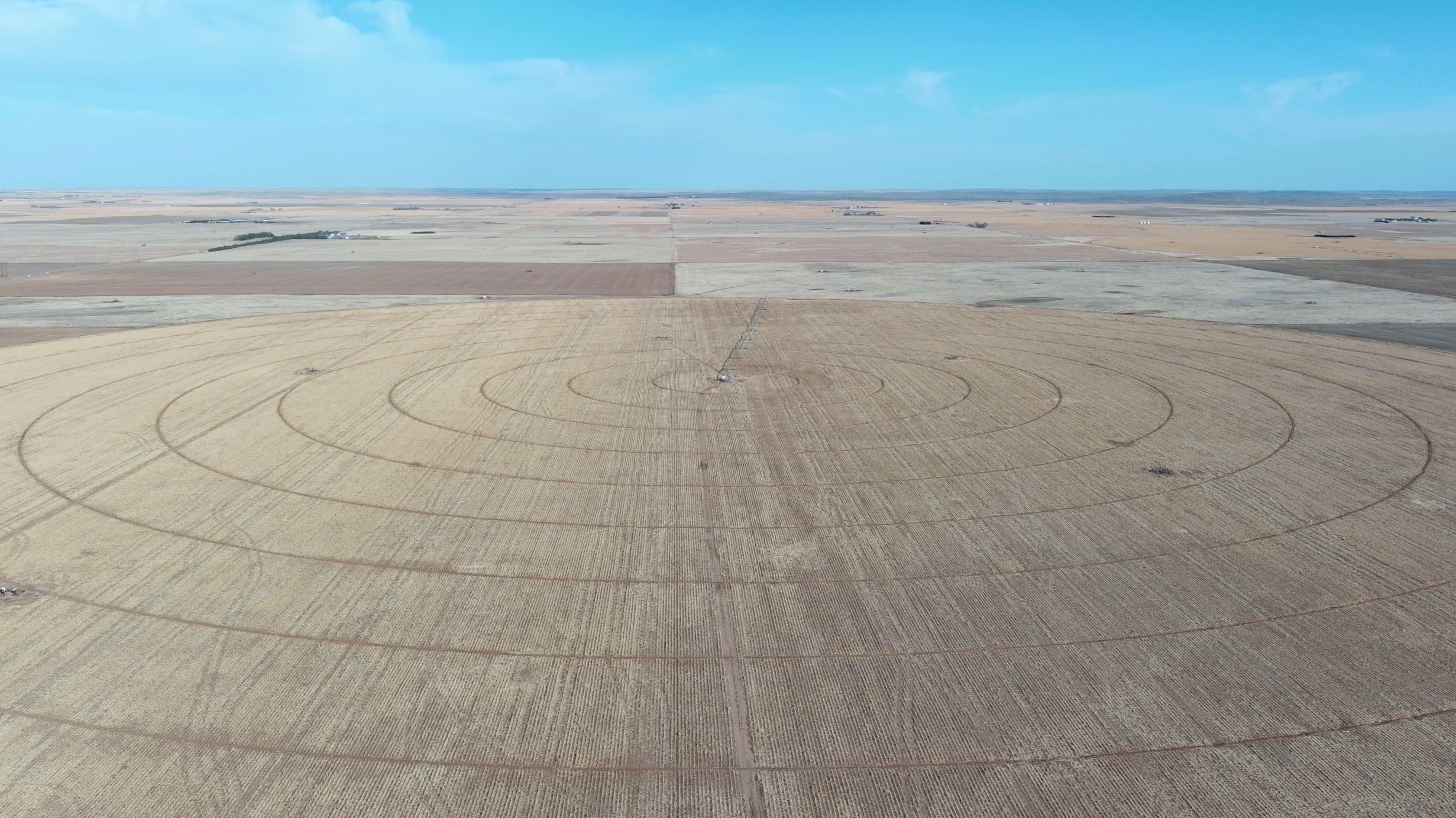
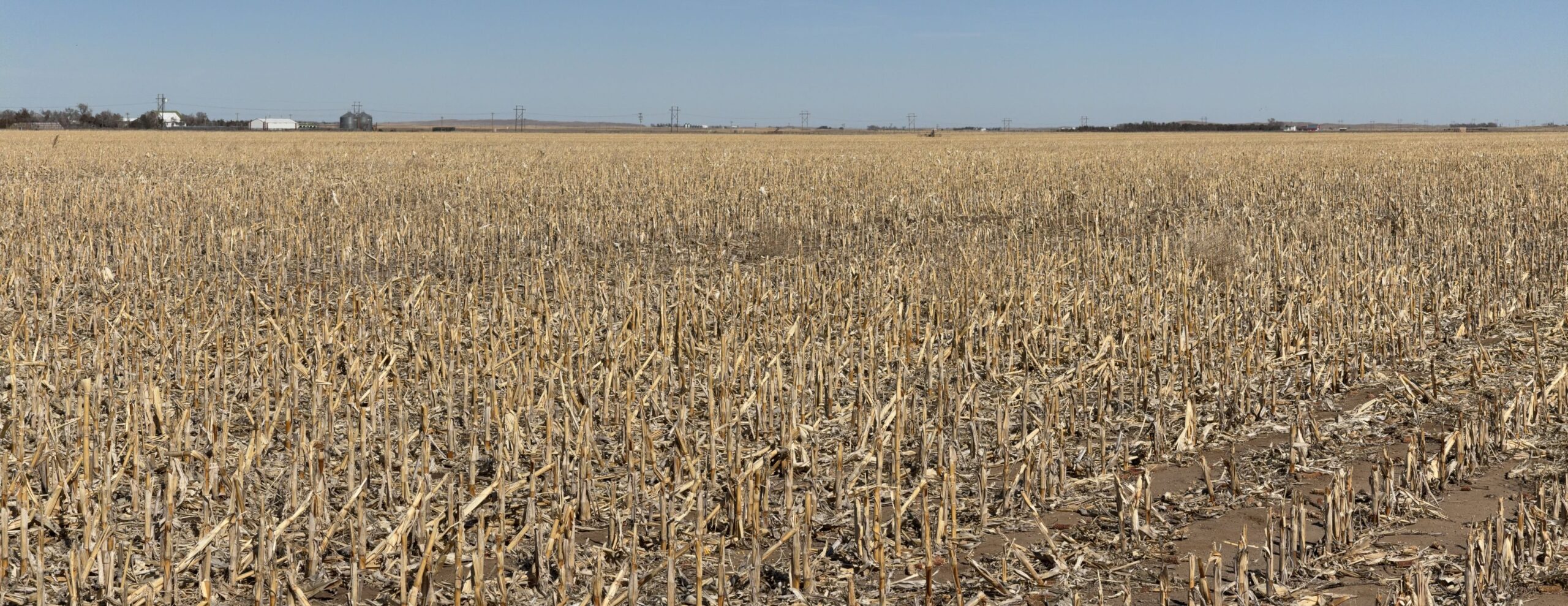
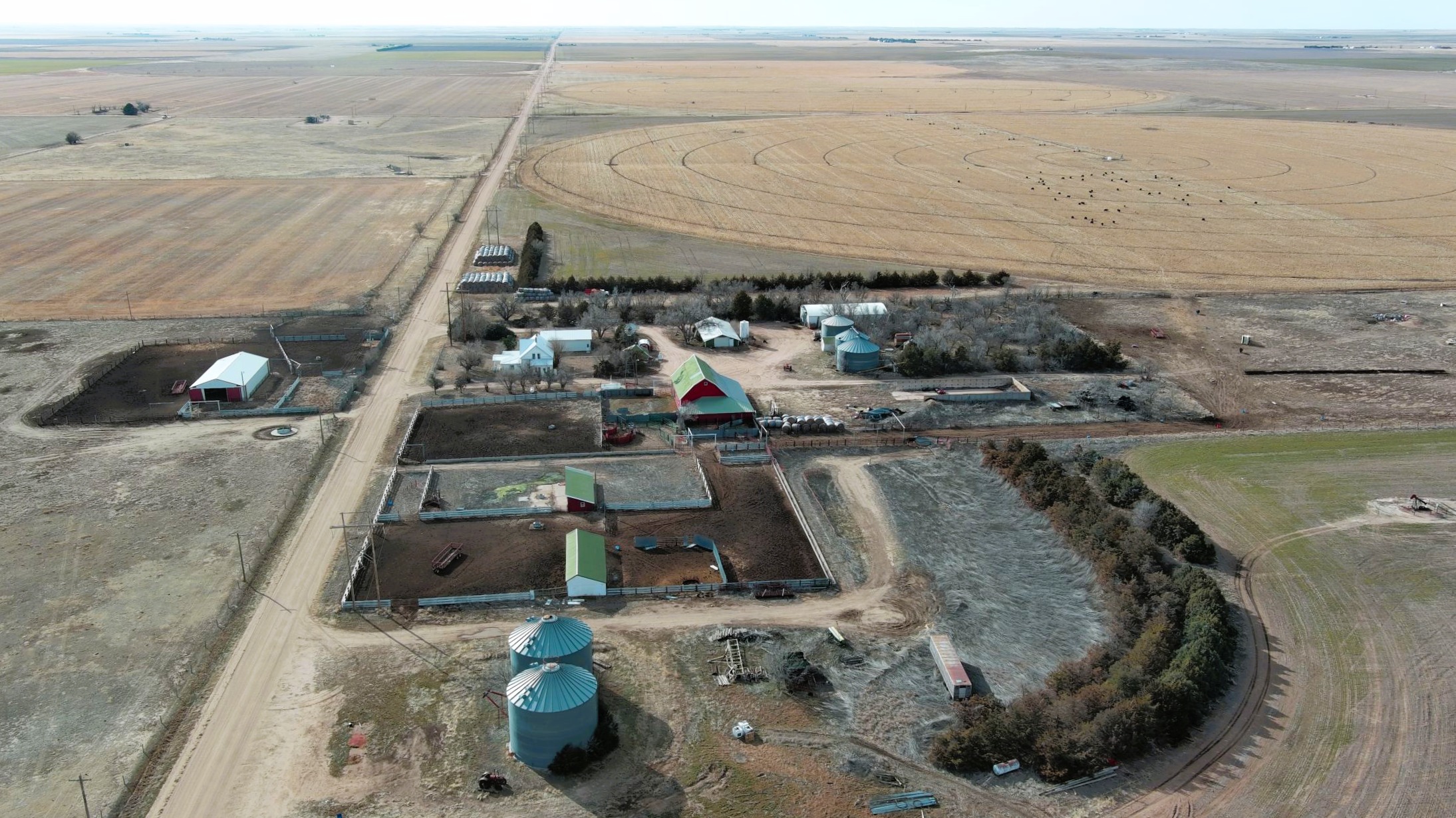
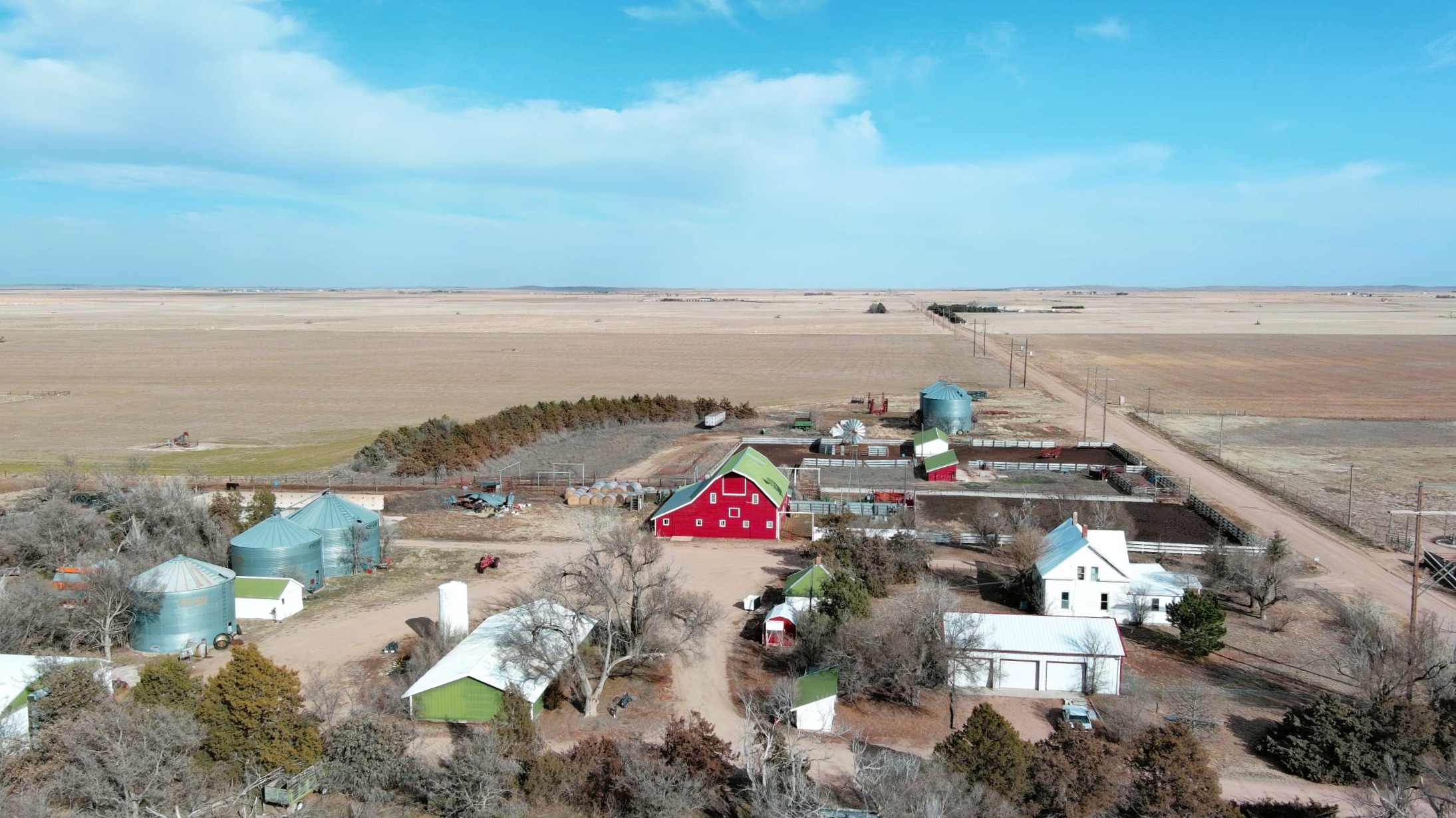
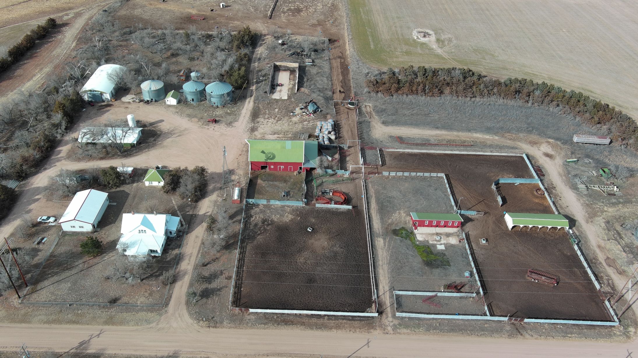
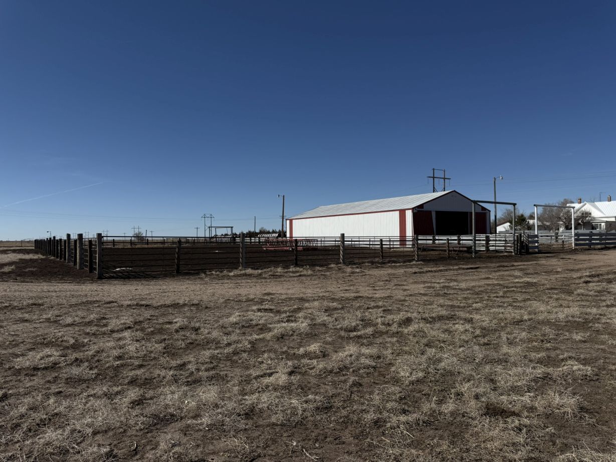
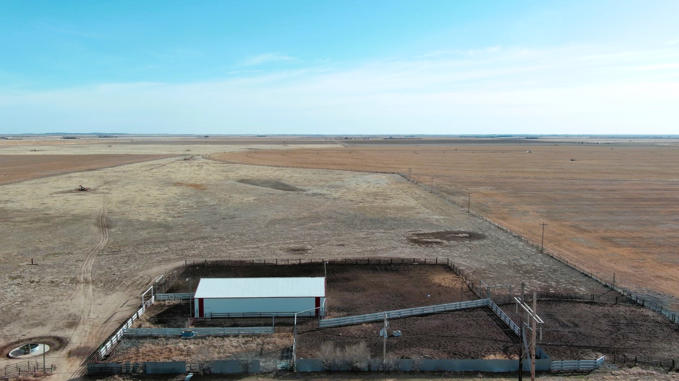
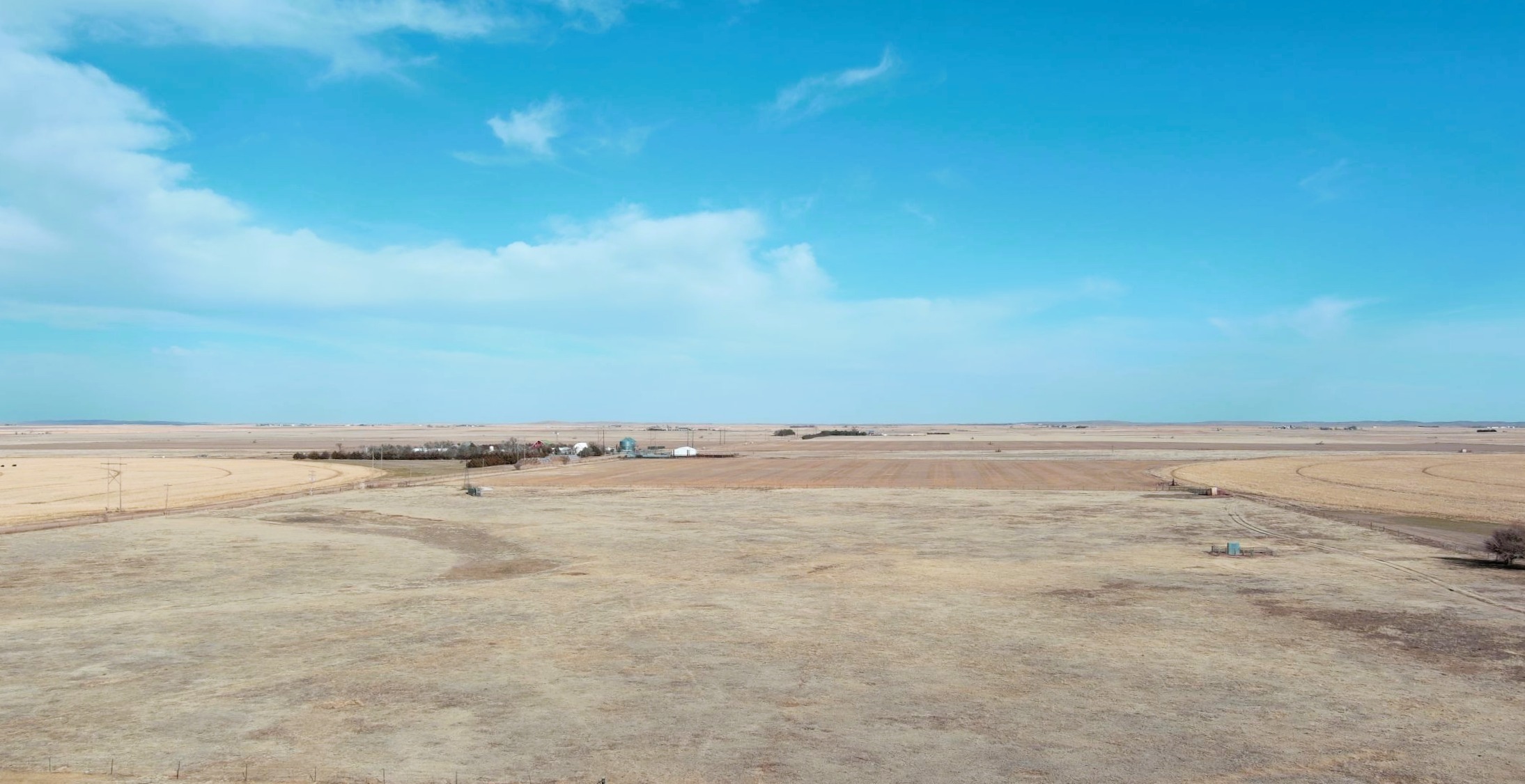
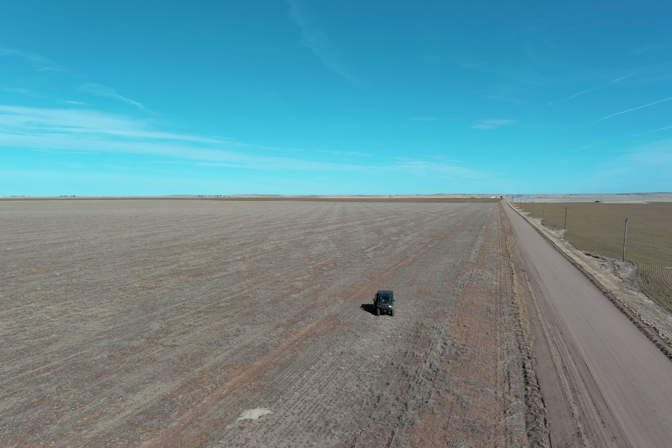
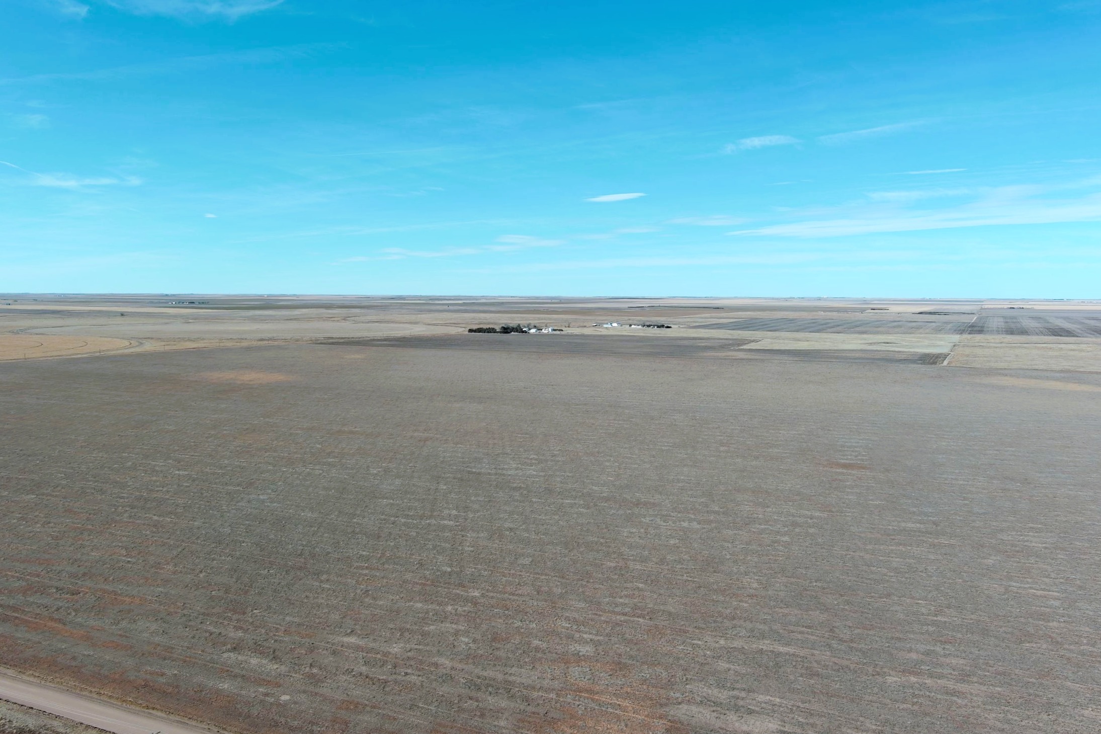
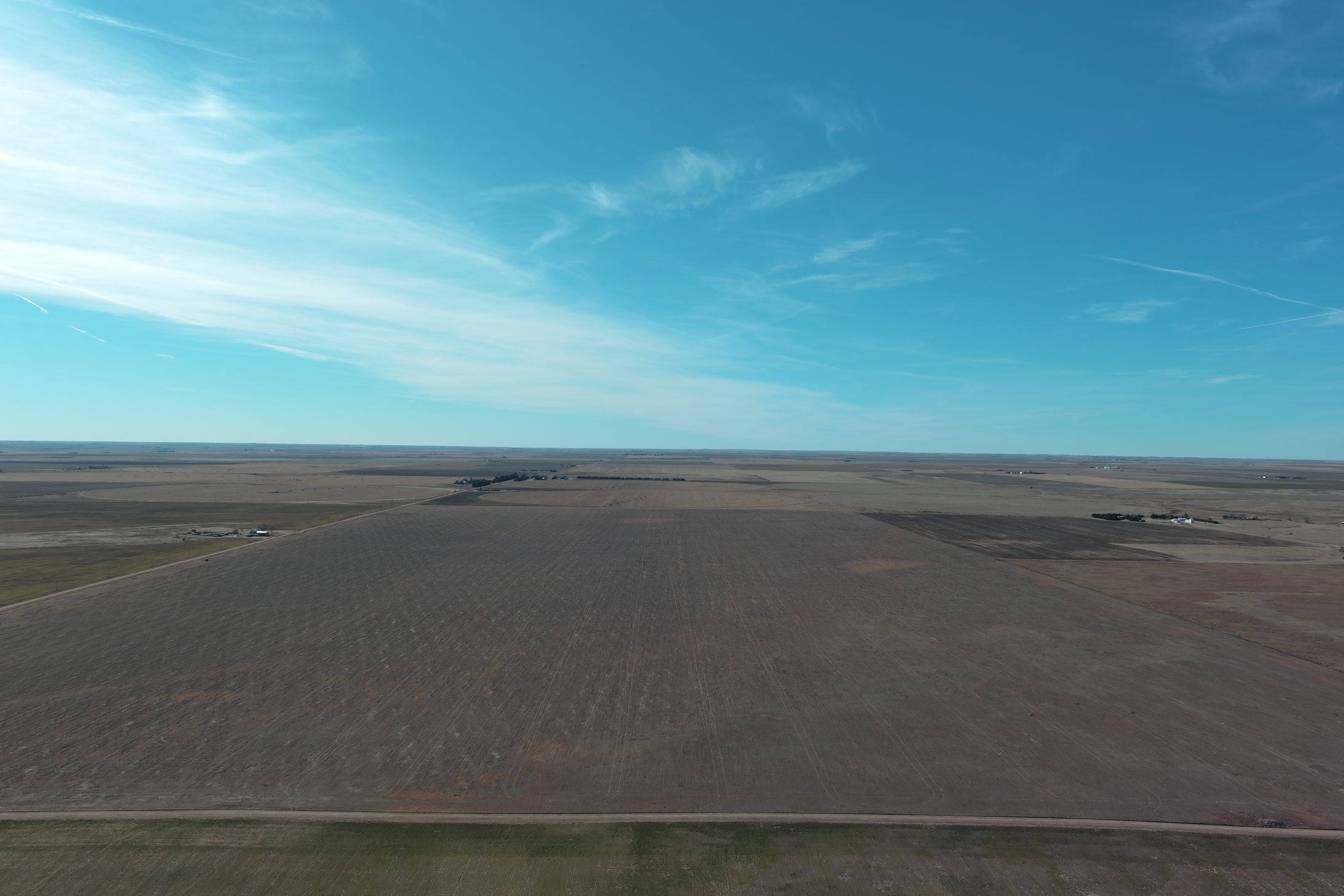
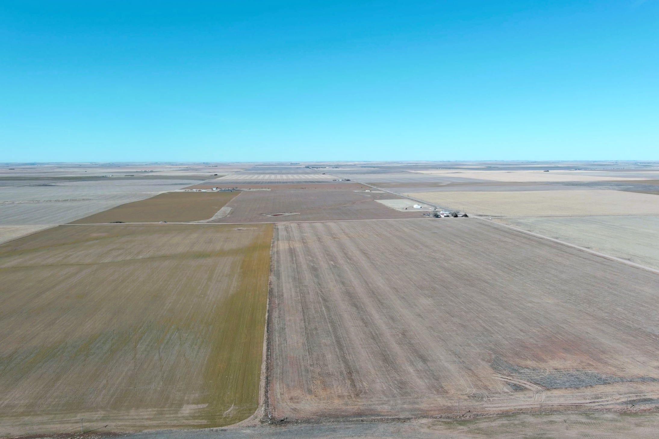
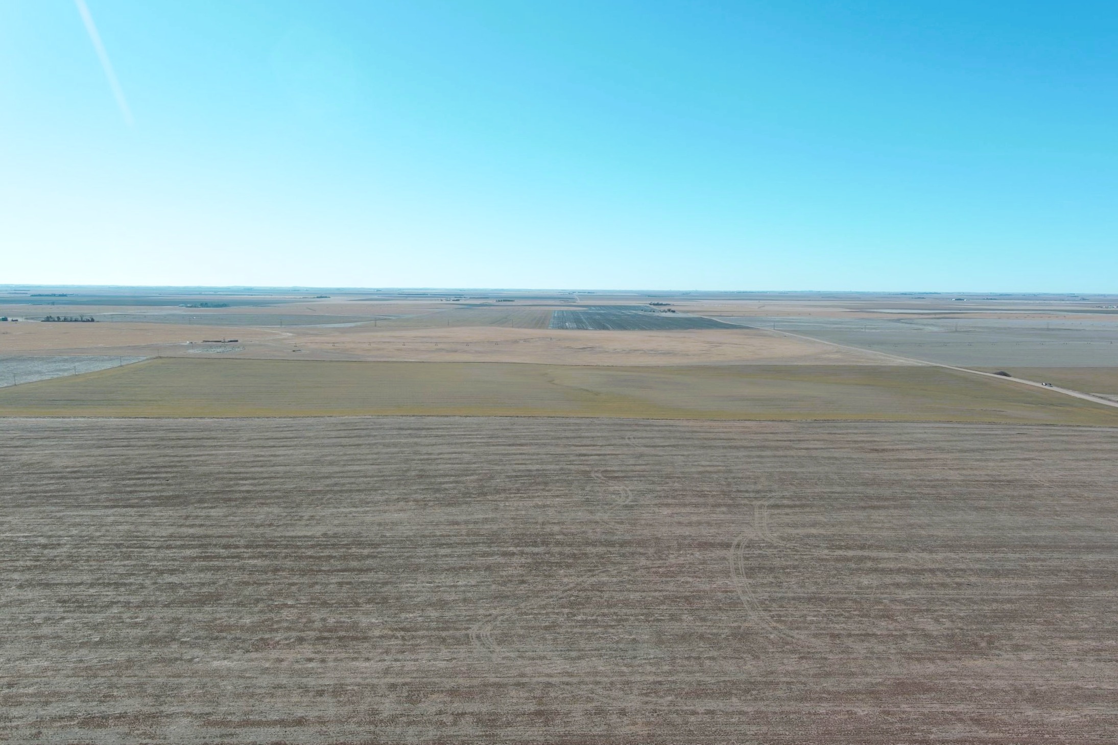
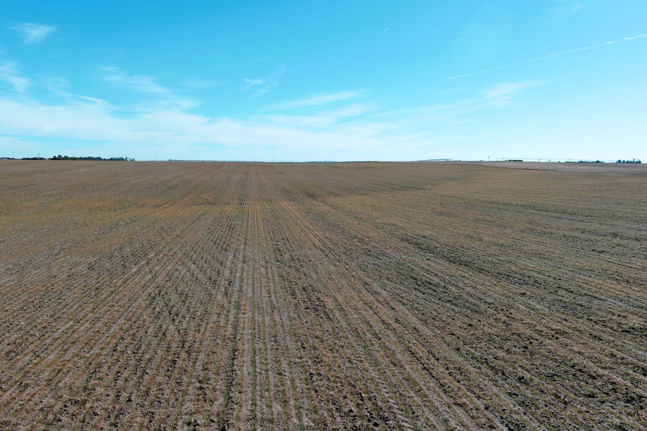
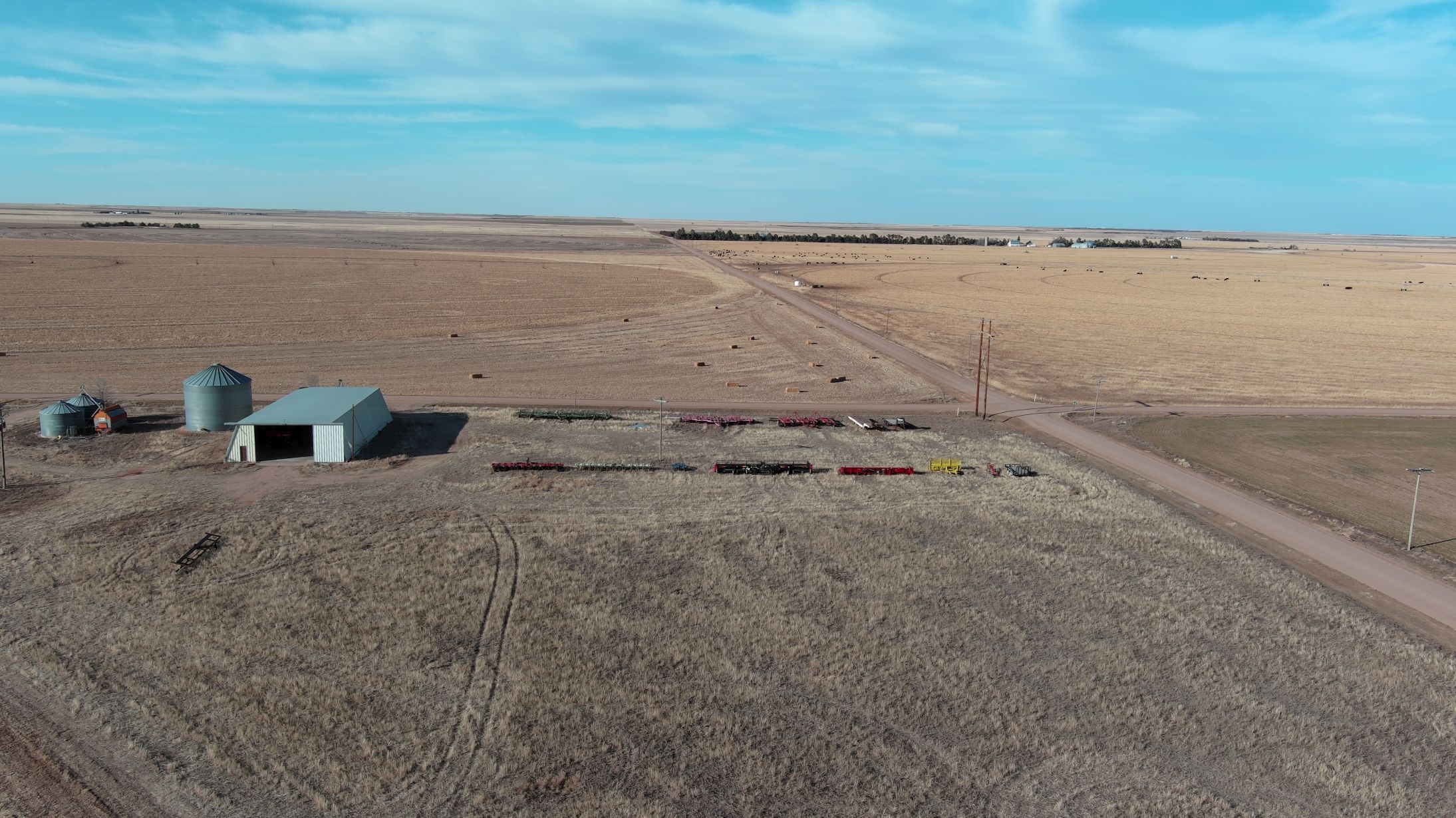
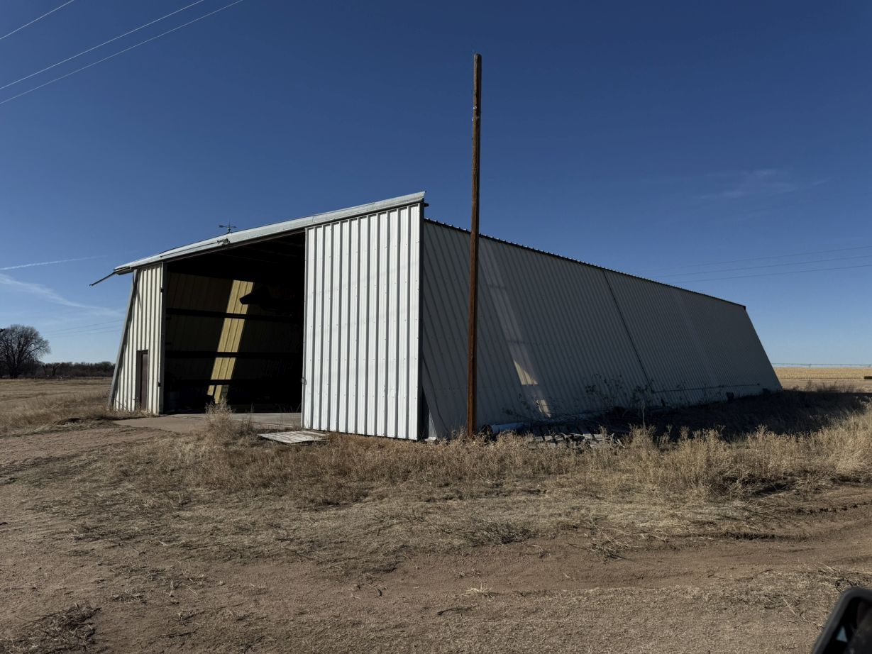
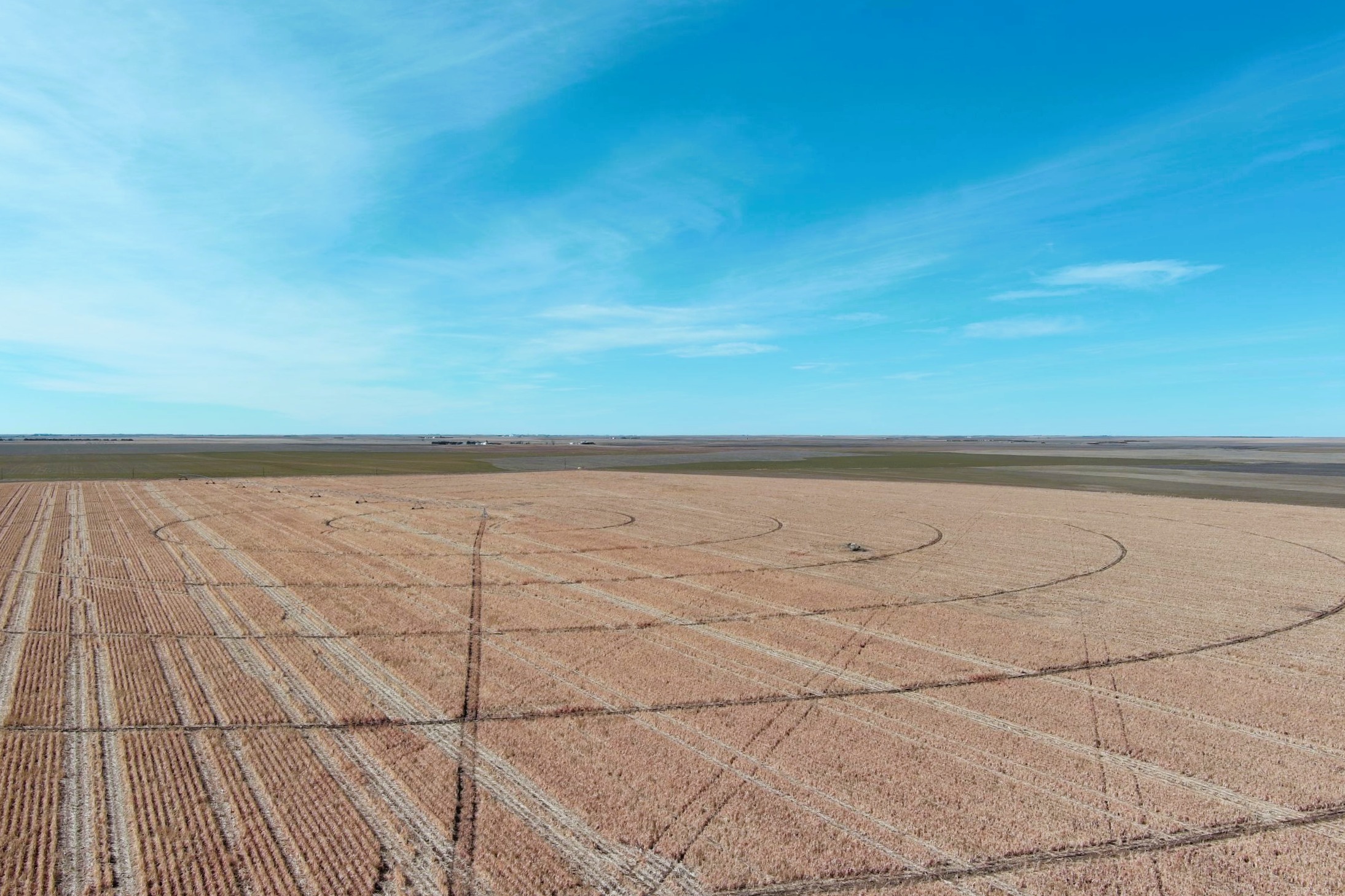
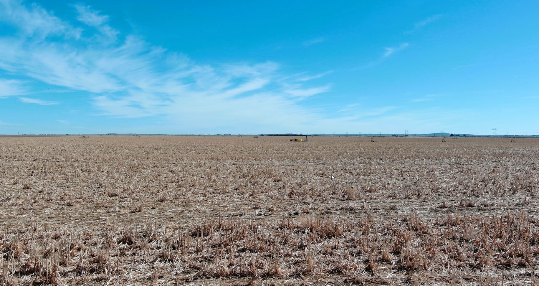
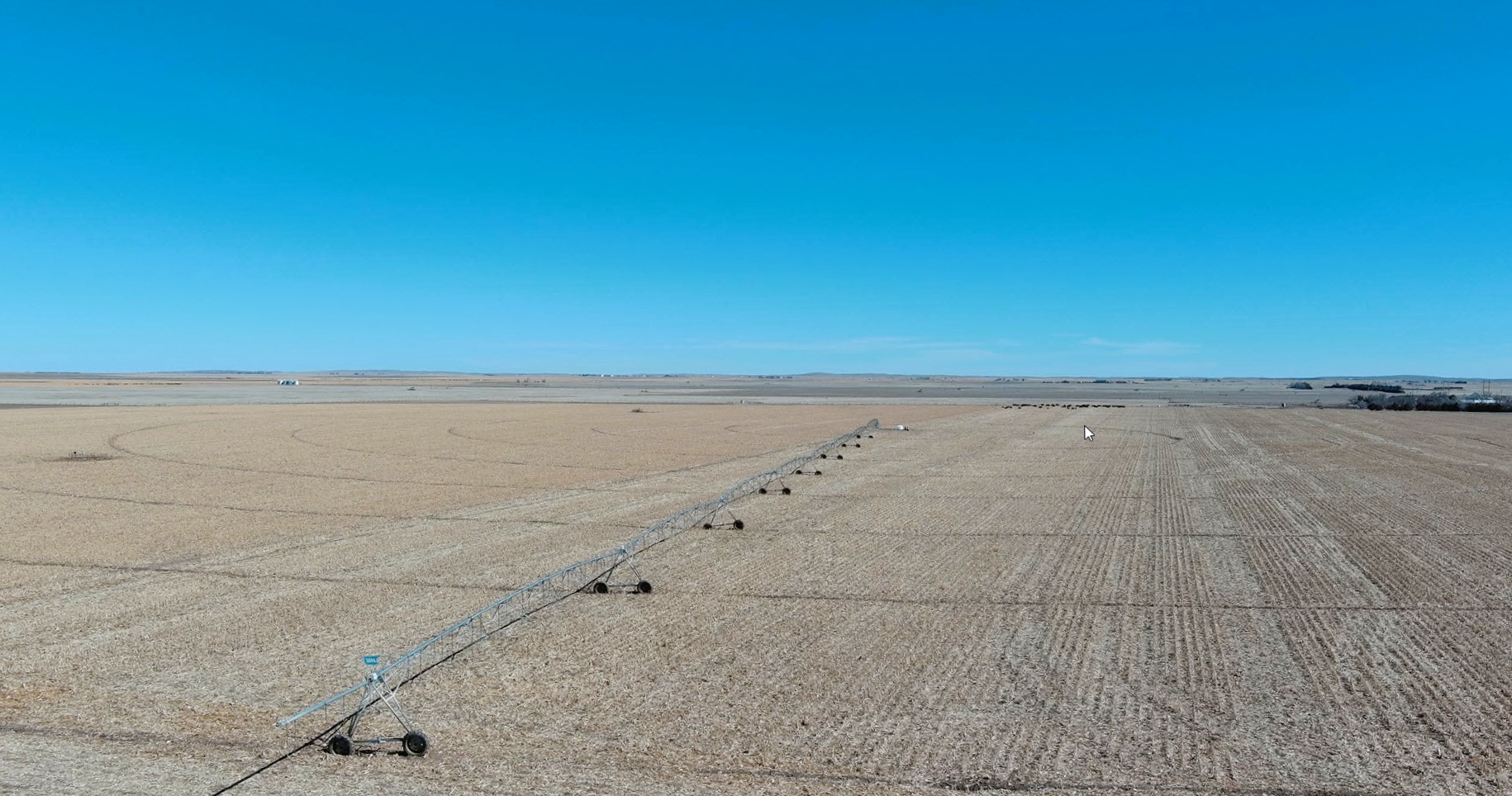
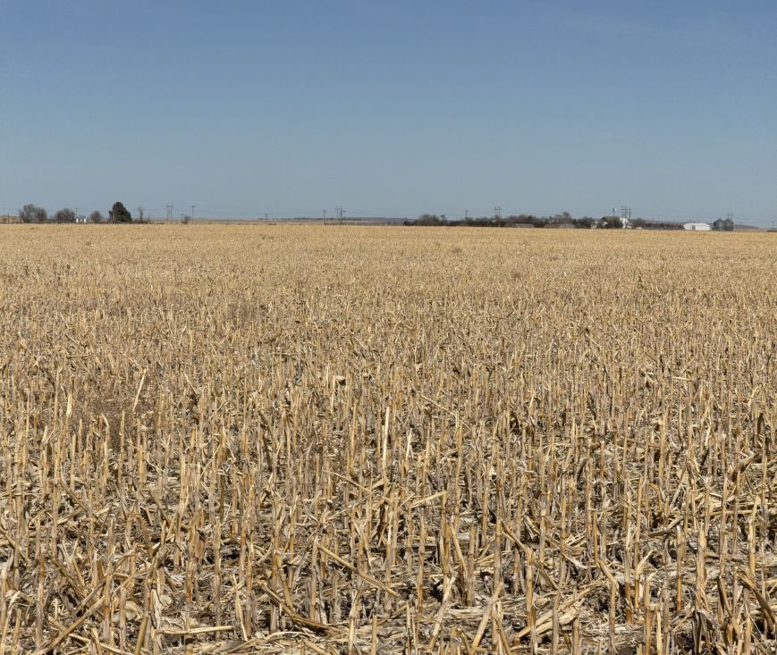
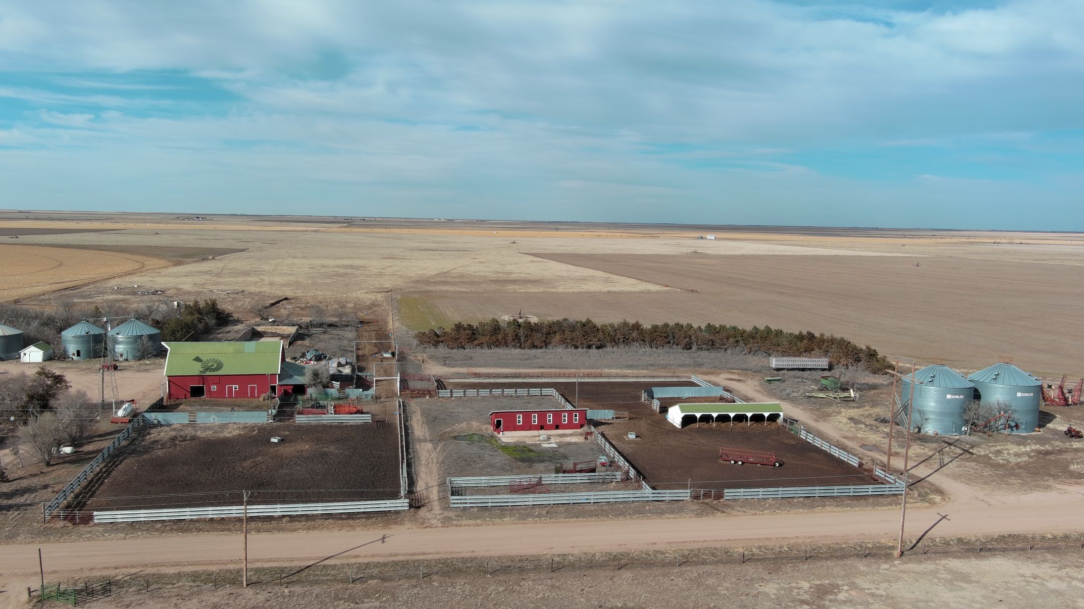
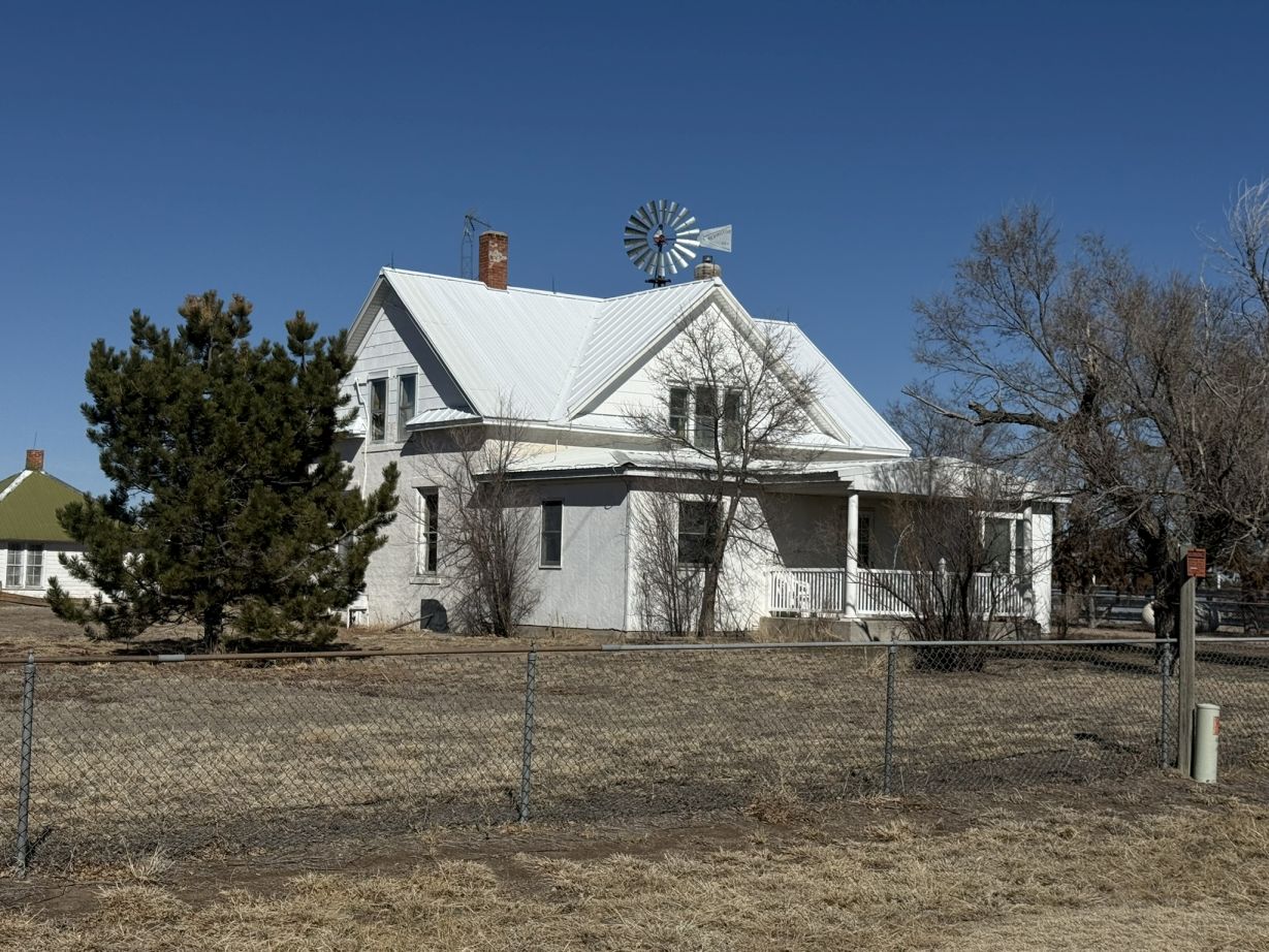
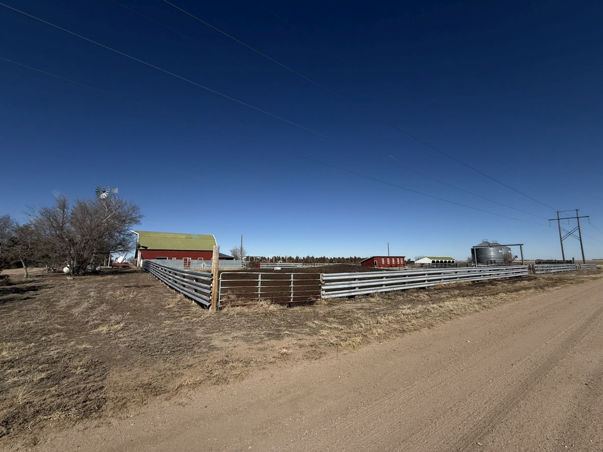
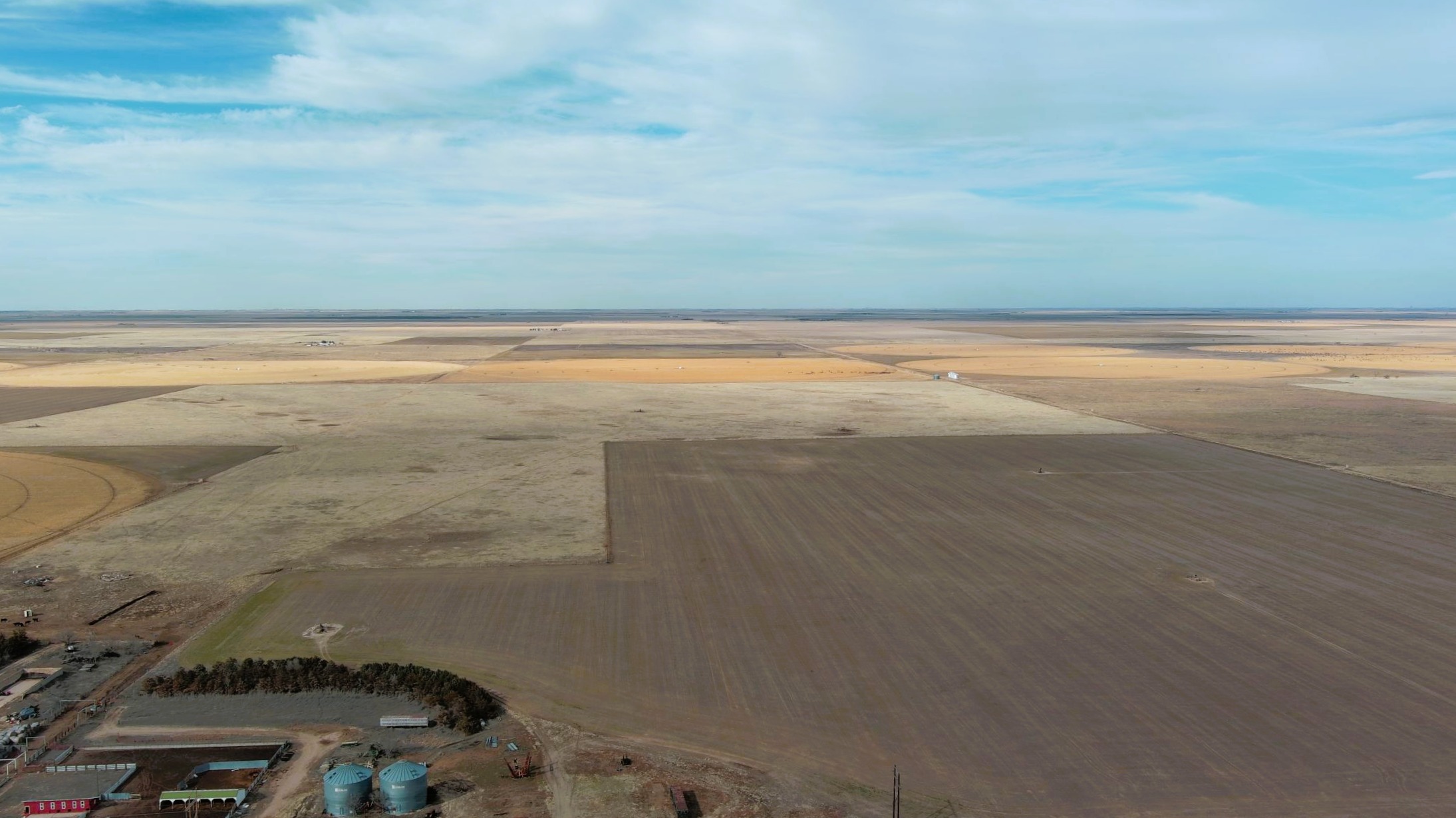
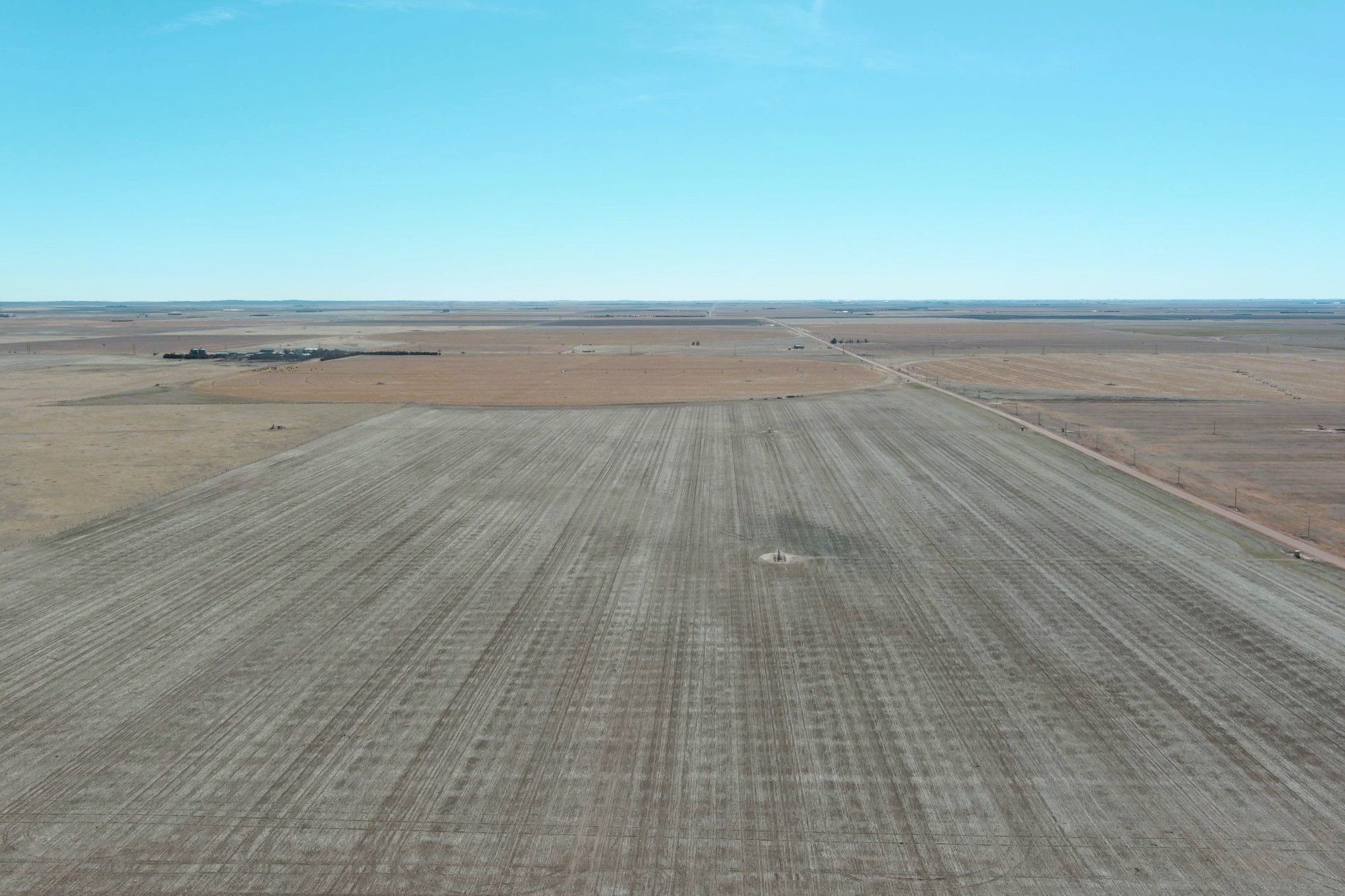
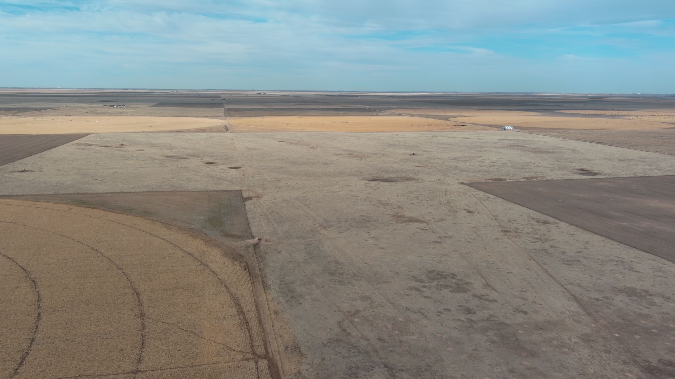
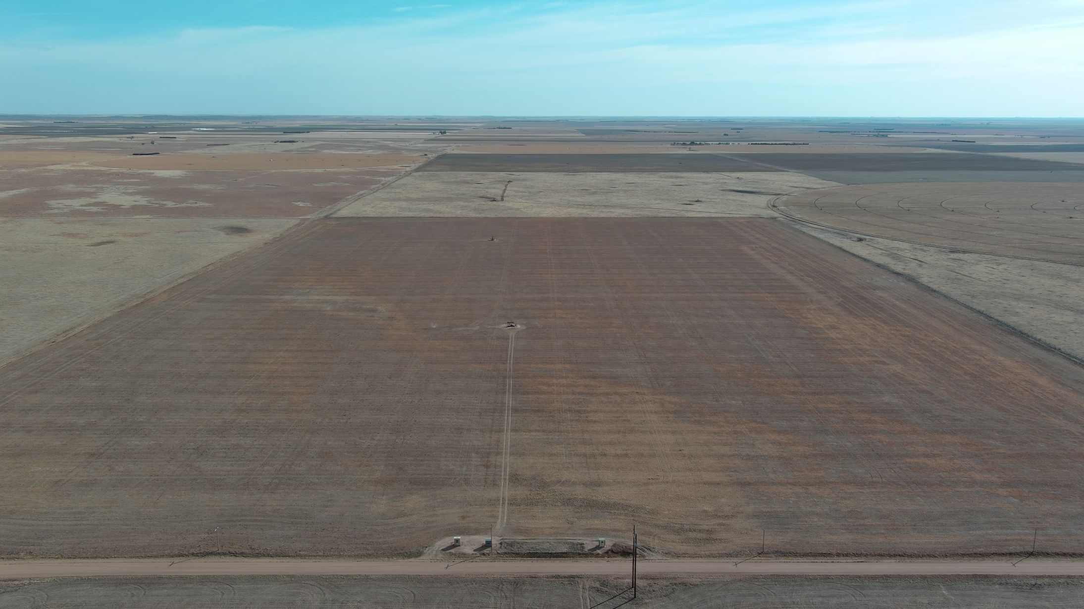
The Otto E. Lueking Jr. Estate is offering this diversified farm operation for sale with NO RESERVE via live auction with online bidding. 1,099.9± acres with 878.32± acres pivot irrigated under 6 pivots, 2,050.7± acres dryland, 469.69± acres grass, three rural residences, shops, bins, barns, cattle facilities. Seller to convey OWNER’S share of producing gas wells; growing wheat conveyed to buyer. Property is located 19-21± miles north east of Yuma, CO, 18-21± miles southwest of Holyoke, CO or 16-20± miles southeast of Haxtun, CO. Buyer to receive possession for the 2025 growing season.

Quick Facts

  • 3,729.1± total acres
  • 1,099.9± acres w/ 878.32± acres irrigated under 6 pivots
  • 2,050.7± acres dryland
  • 469.69± acres grass
  • Several improvement sites w/ homes, shops, barns, bins, cattle facilities
  • Yuma County, CO
  • 19-21± miles north east of Yuma, CO, 18-21± miles southwest of Holyoke, CO or 16-20± miles southeast of Haxtun, CO
  • Buyer(s) may begin completing necessary farm work upon earnest money deposit clearing
  • Seller to convey OWNER’S share of producing gas wells
  • Growing wheat conveyed to buyer
  • Buyer to receive possession for 2025 growing season
  • FSA Crop Bases shown below on each parcel
  • See interactive map at bottom of page
  • Parcel #13 OPEN HOUSE Saturdays: April 5 & 12 from 1-3 pm, MT

NO reserve

Property Details

Parcel #1 - 160.0± Total Acres: Acres Pivot Irrigated

  • Acreage: 130.0± acres pivot irrigated, 25.6± acres corners, 4.4± acres roads/waste
  • FSA: 119.34 acres corn base
  • Legal: SE¼ 13-T5N-R47W
  • Location: CR 57 on south, CR Q on east
  • R/E Taxes: $1,326.02
  • Assessments: $3,920.00
  • Well Permit: #18588-FP
  • Acre Feet: 400
  • Irrigation Equipment: 150 HP electric motor w/ pump, 7-tower Zimmatic pivot
  • Well Test: See Page 85-A of the Due Diligence Packet for a current well test. Note. motor needs bearings. Prior to closing, Seller to repair motor.
  • Crops: 130± acres milo stalks, 25.63± acres planted wheat

Parcel #2A - 160.0± Total Acres: Acres Pivot Irrigated

  • Acreage: 132.0± acres pivot irrigated, 27.2± acres corners, 0.8± acres roads/waste
  • FSA: 121.18 acre corn base
  • Legal: SW¼ 24-T5N-R47W
  • Location: CR 56 on south
  • R/E Taxes: $1,238.00
  • Assessments: $3,920.00
  • Well Permit: #16361-FP
  • Acre Feet: 400
  • Irrigation Equipment: 125 HP electric motor w/ pump, 8-tower Valley pivot
  • Well Test: A current well test is on Page 87-A of the Due Diligence Packet.
  • Crops: 132.01± acres corn stalks, 27.20± acres planted wheat

Parcel #2B - 160.0± Total Acres: Acres Pivot Irrigated

  • Acreage: 132.0± acres pivot irrigated, 27.4± acres corners, 0.6± acres roads/waste
  • FSA: 121.18 acre corn base
  • Legal: SE¼ 24-T5N-R47W
  • Location: CR 56 on south, CR Q on east
  • R/E Taxes: $1,238.00
  • Assessments: $3,920.00
  • Well Permit: #16366-FP
  • Acre Feet: 400
  • Irrigation Equipment: 125 HP electric motor w/ pump, 8-tower Valley pivot
  • Well Test: A current well test is shown on Page 89-A of the Due Diligence Packet. Seller, prior to closing, will replace and/or repair pump with the anticipation of, but no guarantee of, pumping 600-700 gpm.
  • Crops: 132.01± acres milo stalks, 27.40± acres planted wheat

Combo #2 (Parcels #2A & #2B) - 320.0± Total Acres

  • Acreage: 264.02± acres pivot irrigated, 54.60± acres corners, 1.38± acres roads/waste

Parcel #3 - 162.1± Total Acres: Pivot Irrigated

  • Acreage: 134.3± acres pivot irrigated, 27.5± acres corners, 0.3± acres roads/waste
  • FSA: 123.28 acres corn base
  • Legal: SW¼ 19-T5N-R46W
  • Location: CR 56 on south, CR Q on west
  • R/E Taxes: $1,228.92
  • Assessments: $3,860.00
  • Well Permit: #17951-FP
  • Acre Feet: 400
  • Irrigation Equipment: 100 HP electric motor, 8-tower Valley pivot
  • Well Test: A current well test is shown on Page 91-A of the Due Diligence Packet. Note: Under comments, motor needs bearings and pump needs lowered. Prior to closing, Seller will have pump lowered and motor repaired.
  • Crops: 134.3± corn stalks, 27.5± planted wheat

Parcel #4A - 160.0± Total Acres: Pivot Irrigated

  • Acreage: 130.0± acres pivot irrigated, 30.0± acres corners
  • FSA: 119.34 acre corn base
  • Legal: SE¼ 25-T5N-R47W
  • Location: CR Q on east
  • R/E Taxes: $1,216.58
  • Assessments: $3,920.00
  • Well Permit: #20322-FP
  • Acre Feet: 400
  • Irrigation Equipment: 125 HP electric motor, 8-tower Valley pivot
  • Well Test: A current well test is shown on Page 93-A of the Due Diligence Packet.
  • Crops: 130.0± acres corn stalks, 30.0± acres stubble

Parcel #4B - 297.8± Total Acres: Pivot Irrigated & Dryland

  • Acreage: 220.0± acres pivot irrigated, 73.9± acres corners, 3.9± acres roads/waste
  • FSA: 201.95 acre corn base
  • Legal: Part of 30 including pivot, NW & SW corner T5N-R46W
  • Location: CR Q on west
  • R/E Taxes: $2,395.29
  • Assessments: $4,828.10
  • Well Permit: #6804-FP
  • Acre Feet: 562
  • Irrigation Equipment: 100 HP electric motor w/ pump, 10-tower Valley pivot
  • Well Test: The existing well was redrilled on 4/28/2016. Pages 95-97 of the Due Diligence Packet shows a well construction and test report. Seller elected at this time to keep the older equipment in place. Page 97-A of the Due Diligence Packet shows the current test with old equipment. Seller has elected to replace equipment with the equipment shown on Page 97-B of the Due Diligence Packet plus replace pipeline to pivot point. Prior to closing, Seller will complete replacement of pump, motor and pipeline.
  • Crops: 220± acres corn stalks, 73.9± acres planted wheat

Combo #4 (Parcels #4A & #4B) - 457.8± Total Acres: Pivot Irrigated & Dryland

  • Acreage: 350.0± acres pivot irrigated, 103.9± acres corners, 3.9± acres roads/waste

PIVOT IRRIGATED UNIT (Parcels #1, #2A, #2B, #3, #4A, #4B) - 1,099.9± Total Acres

  • Acreage: 878.3± pivot irrigated; 211.6± acres corners; 10.0± acres roads/waste

Parcel #5A - 384.5± Total Acres: House, Improvements, Dryland & Pasture

  • Acreage: 113.8± acres dryland, 259.2± acres pasture, 11.5± acres improvement site
  • FSA: 68.12 acre wheat base
  • Legal: E½ 19-T5N-R46W & part of NW¼ 19-T5N-R46W
  • Location: CR 57 on north, 56 on south
  • R/E Taxes: $2,480.72
  • Crops: 113.79± acres planted wheat
  • Improvements:
    • Home (not lived in): 14755 CR 56, Yuma, CO
    • Shops
    • Barns
    • Cattle facilities
    • Bins
    • Domestic Well
    • Stock tank

Parcel #5B - 343.8± Total Acres: Dryland, Pasture & Improvement

  • Acreage: 128.7± acres dryland, 210.5± acres pasture, 4.6± acres improvement site
  • FSA: 77.05 acre wheat base
  • Legal: All that part of 30 excluding the pivot, NW & SW corner of pivot, T5N-R46W
  • Location: CR 56 on north
  • R/E Taxes: $452.79
  • Crops: 128.71± acres stubble
  • Improvements:
    • Barn & pens

Combo #5 (Parcels #5A & #5B) - 728.3± Total Acres: House, Improvements, Dryland & Pasture

  • Acreage: 242.5± acres dryland, 469.7± acres grass, 16.1± acres improvements/roads/waste

Parcel #6A - 95.9± Total Acres: Dryland

  • Acreage: 93.6± acres dryland, 2.3± acres roads/waste
  • FSA: 56.01 acre wheat base
  • Legal: Part of NW¼ of 19-T5N-R46W
  • Location: CR 57 on north and CR Q on west
  • R/E Taxes: $265.34
  • Crops: 93.56± planted wheat

Parcel #6B - 200.5± Total Acres: Dryland

  • Acreage: 200.4± acres dryland, 0.1± acres roads/waste
  • FSA: 119.95 acre wheat base
  • Legal: N½ except tract in 24-T5N-R47W
  • Location: CR Q on east (homesite excluded)
  • R/E Taxes: $362.06
  • Crops: 200.37 acres stubble

Combo #6 (Parcels #6A & #6B) - 296.4± Total Acres: Dryland

  • Acreage: 293.9± acres dryland, 2.5± acres roads/waste

Parcel #7 - 160.0± Total Acres: Dryland

  • Acreage: 154.8± acres dryland, 5.2± acres roads/waste
  • FSA: 92.68 acre wheat base
  • Legal: NE¼ 25-T5N-R47W
  • Location: CR Q on east, CR 56 on north
  • R/E Taxes: $385.98
  • Crops: 154.82± acres stubble

EAST UNIT (Parcels #1, #2A, #2B, #3, #4A, #4B, #5A, #5B, #6A, #6B, #7) - 2,284.6± Total Acres

  • Acreage: 878.3± acres pivot irrigated, 211.6± acres corners, 691.3± acres dryland, 469.7± acres pasture, 33.7± acres improvements/roads/waste

Parcel #8 - 324.5± Total Acres: Dryland

  • Acreage: 324.5± acres dryland
  • FSA: 194.25 acre wheat base
  • Legal: S½ 14-T5N-R47W
  • Location: CR 57 on south, CR N on west, CR P on east
  • R/E Taxes: $785.54
  • Crops: 324.48± acres stubble

Parcel #9A - 313.4± Total Acres: Dryland & Improvements

  • Acreage: 261.2± acres dryland, 52.2± acres improvement site/roads/waste
  • FSA: 156.34± acres wheat base
  • Legal: N½ 23-T5N-R47W
  • Location: CR 57 on north, CR N on west
  • R/E Taxes: $817.89
  • Crops: 261.16± acres planted wheat
  • Improvements:
    • House: 12388 CR 57, Yuma, CO
    • Misc outbuildings

Parcel #9B - 320.0± Total Acres: Dryland

  • Acreage: 313.9± acres dryland, 6.1± acres roads/waste
  • FSA: 187.89 acre wheat base
  • Legal: S½ 23-T5N-R47W
  • Location: CR 56 on south, CR N on west
  • R/E Taxes: $741.87
  •  Crops: 313.85± acres planted wheat

Combo #9 (Parcels #9A & #9B) - 633.4± Total Acres: Dryland & Improvements

  • Acreage: 575.0± acres dryland, 58.4± improvements/roads/waste

Parcel #10 - 160± Total Acres: Dryland, Improvements

  • Acreage: 153.3± acres dryland, 6.7± acres improvements/roads/waste
  • FSA: 91.76 acre wheat base
  • Legal: SE¼ 22-R5N-R47W
  • Location: CR 56 on south, CR N on east
  • R/E Taxes: $774.98
  • Crops: 153.28± acres stubble
  • Improvements:
    • Shop & bins

Parcel #11 - 160.0± Total Acres: Dryland

  • Acreage: 157.9± acres dryland, 2.1± acres roads/waste
  • FSA: 94.57 acre wheat base
  • Legal: NW¼ 21-R5N-R47W
  • Location: CR 57 on north, CR L on west
    Adjacent to Hwy 59
  • R/E Taxes: $385.98
  • Crops: 79.0± acres planted wheat, 78.97± acres stubble

Parcel #12 - 153.8± Total Acres: Dryland

  • Acreage: 151.8± acres dryland, 2.0± acres roads/waste; homesite excluded
  • FSA: 89.05 acre wheat base
  • Legal: NW¼ of 27 less parcel T5N-R47W
  • Location: CR 56 on north, CR M on west
  • R/E Taxes: $418.00
  • Crops: 148.75± acres planted wheat

WEST DRYLAND UNIT (Parcels #8, #9A, #9B, #10, #11, #12) - 1,428.7± Total Acres: Dryland & Improvements

  • Acreage: 1,359.5± acres dryland, 69.2± acres improvements/roads/waste

SINGLE UNIT (Parcels #1-12) - 3,713.3± Total Acres: Pivot Irrigated, Dryland, Pasture & Improvements

  • Acreage: 878.3± acres pivot irrigated, 211.6± acres corners, 2,050.7± acres dryland, 469.7± acres grass, 102.9± acres improvements/roads/waste

Parcel #13 - 6.2± Total Acres: House, Shop, Bins

  • Acreage: 6.2± acres improvement site
  • Legal: A parcel in the NW¼ of 27-T5N-R47W
  • Location: CR 56 on north
  • R/E Taxes: $1,293.00
  • Improvements:
    • House: 11132 CR 56, Yuma, CO
    • Shop
    • Bins
    • Domestic well & septic
    • Survey to be completed

OPEN HOUSE Saturdays: April 5 & 12 from 1-3 pm, MT

Parcel #14 - 6.6± Total Acres: Shop, Bins

  • Acreage: 6.6± acres improvement site
  • Legal: A parcel in the NE corner of the NE¼ 28-T5N-R47W
  • Location: CR 56 on north, CR M on east
  • R/E Taxes: $489.16
  • Improvements:
    • Shop
    • Bins

Request More Info

Location

Yuma County, colorado  |  3,729± Acres

Interactive Map - Click to View More

Auction Terms

Terms & Conditions

AUCTION TERMS -- Please view the auction for any updates to the Terms & Conditions

AUCTION PROCEDURE: The “OTTO E LUEKING JR ESTATE LAND AUCTION” is a land auction with NO RESERVE. The Lueking Estate property to be offered as a “MULTI PARCEL” Auction and will be offered in the sale order as stated within the Due Diligence Packet. Bidding competition will determine the highest aggregate bid(s). Seller agrees not to accept and negotiate any contracts to purchase prior to auction date. Bids will be taken for total purchase price not price per acre.
TERMS: Upon the conclusion of the auction, the highest bidder(s) will sign Brokerage Disclosure and will enter into and sign a Contract to Buy and Sell Real Estate (Land) for the amount of the bid. Required earnest money deposit is 15% of the total purchase price which is due upon the signing of the contract(s) and to be deposited with Reck Agri Realty & Auction. If Parcel #13 sells separately, 5% of the purchase price is due as earnest money. Earnest money deposit will be transferred to Yuma County Abstract prior to closing and applied toward the total purchase price. Purchase contract will not be contingent upon financing. Terms and conditions in the Due Diligence Packet and oral announcements shall be incorporated and made a part of the contract. Sample contract is available within the Due Diligence Packet.
CLOSING: Buyer(s) shall pay in good funds, the balance of purchase price plus their respective closing costs, and sign and complete all customary or required documents at closing, which is on or before May 23, 2025. Depending on how the property sells and the number of closings to be conducted, Buyer and Seller agree the closings may be scheduled between May 21-May 23. Closing to be conducted by Yuma County Abstract and the closing service fee to be split 50-50 between Seller and Buyer(s).
TITLE: Seller to pass title by Personal Representative’s Deed free and clear of all liens and encumbrances. TBD Title commitments will be available for review within the updated version of this Due Diligence Packet which will be provided prior to the auction. These TBD title commitment(s) and exceptions will be incorporated and made a part of the Contract to Buy and Sell Real Estate (Land). Title Insurance to be used as evidence of marketable title and cost of the premium to be split 50-50 between Seller and Buyer(s), except Buy-er(s) to pay for cost of loan title insurance policy, if applicable. The Buyer(s) to receive a title commitment with Buyer(s) name, lender, purchase price, and all supplements and additions thereto after auction but be-fore closing, and an owner’s title insurance policy in an amount equal to the Purchase Price after closing. Property to be sold subject to existing roads and highways; established easements and rights-of-way; prior mineral reservations; and other matters affected by documents shown within the title commitment; and zoning, building, subdivision, and other restrictions, covenants, and/or regulations of record.
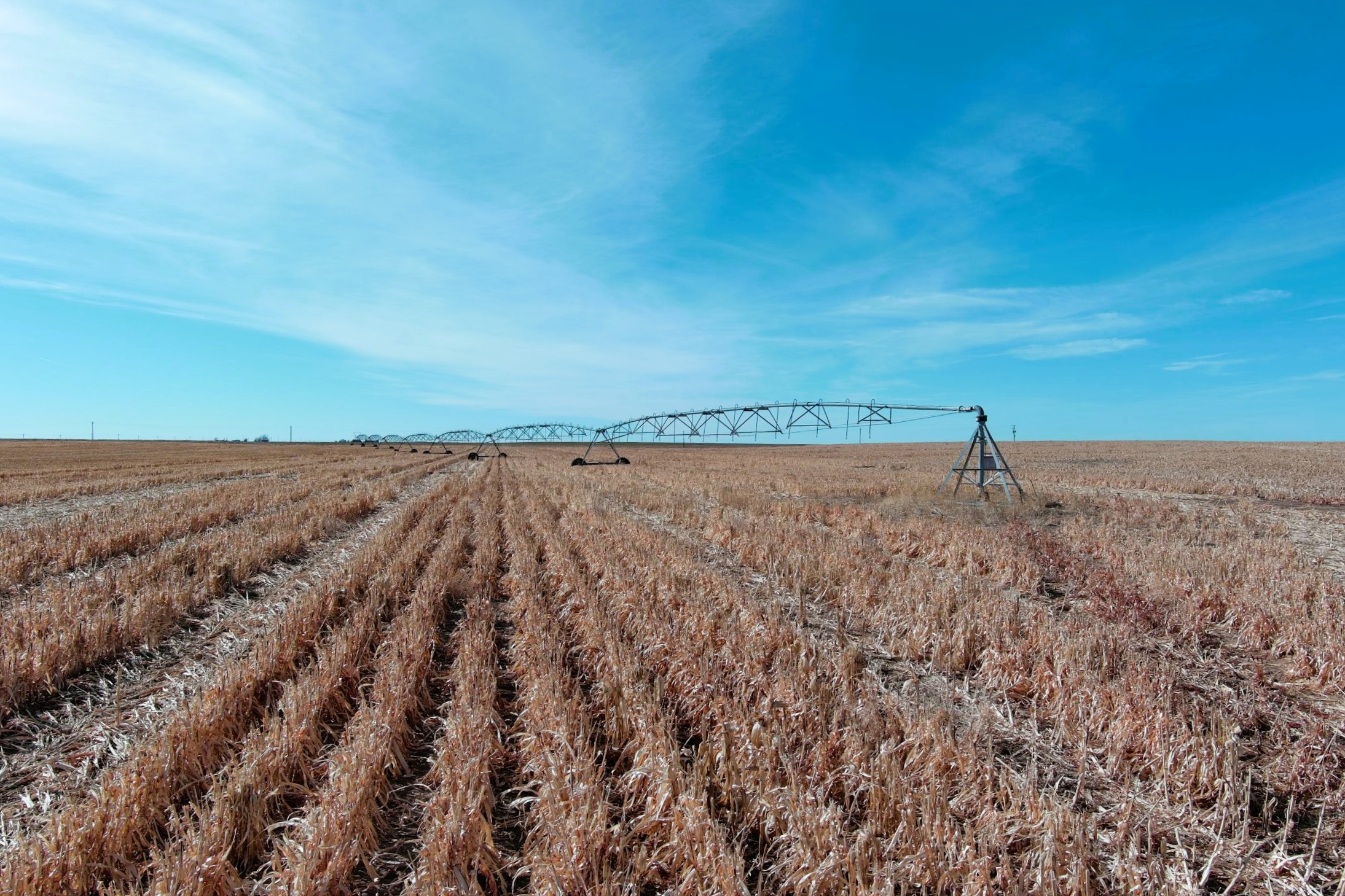
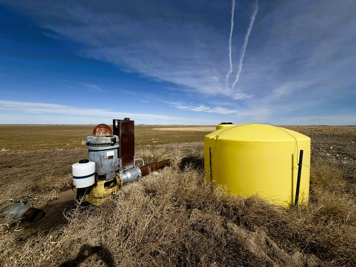
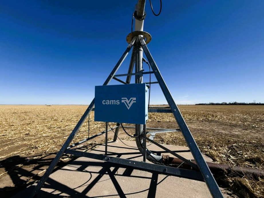
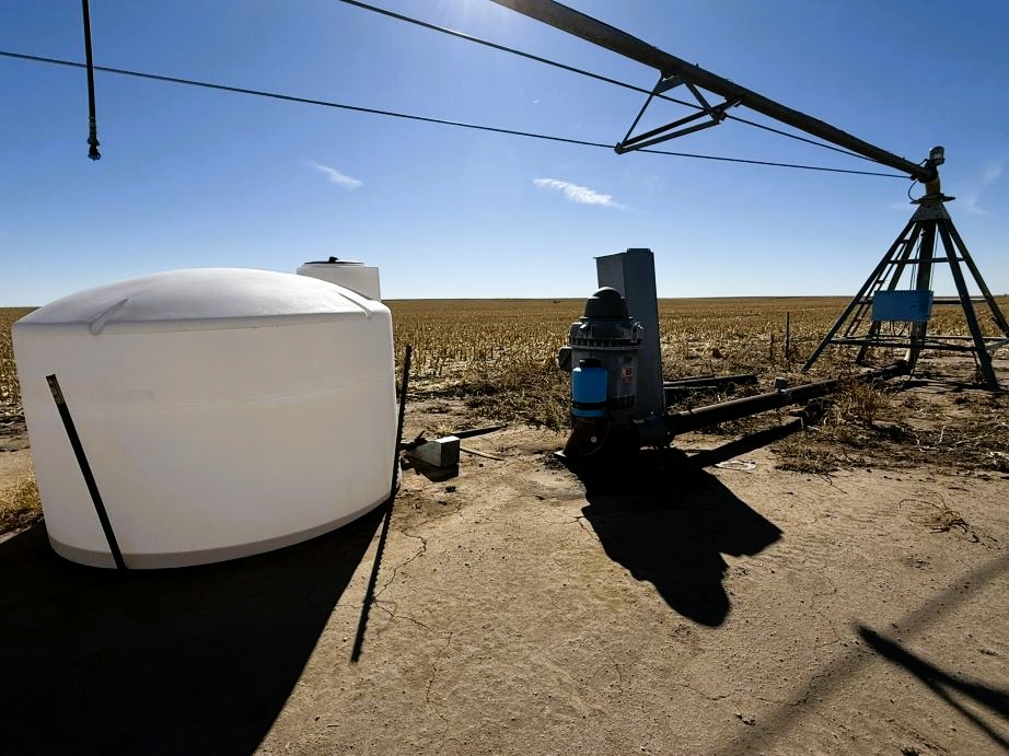
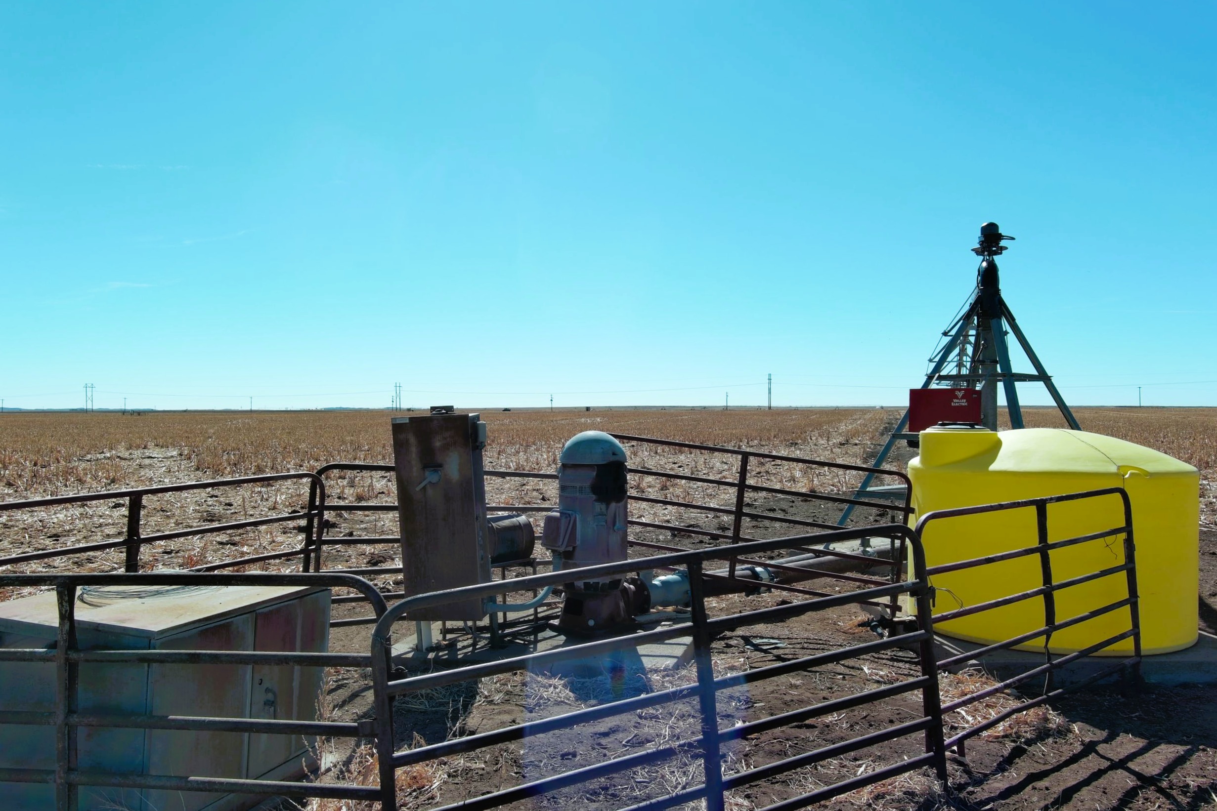
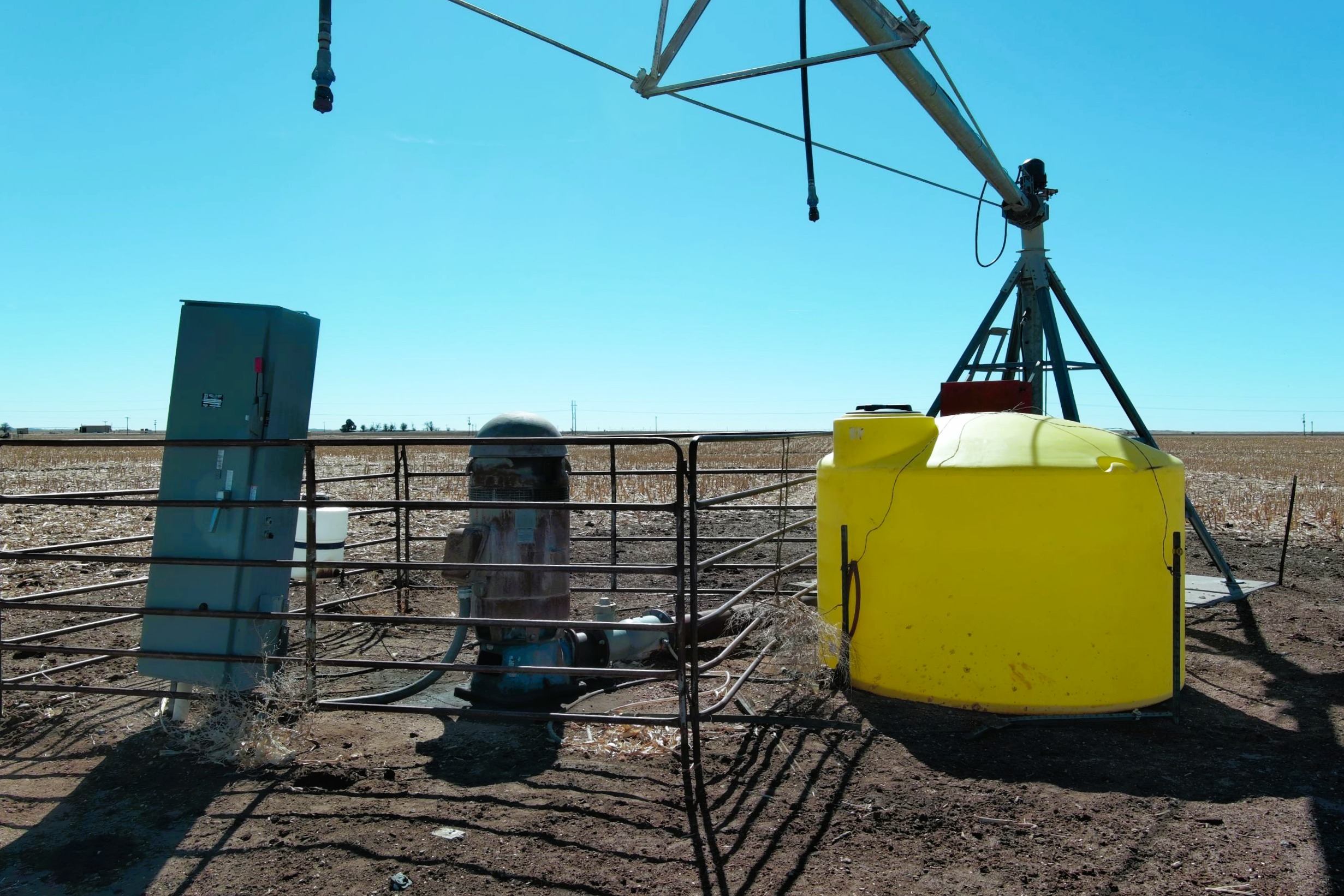
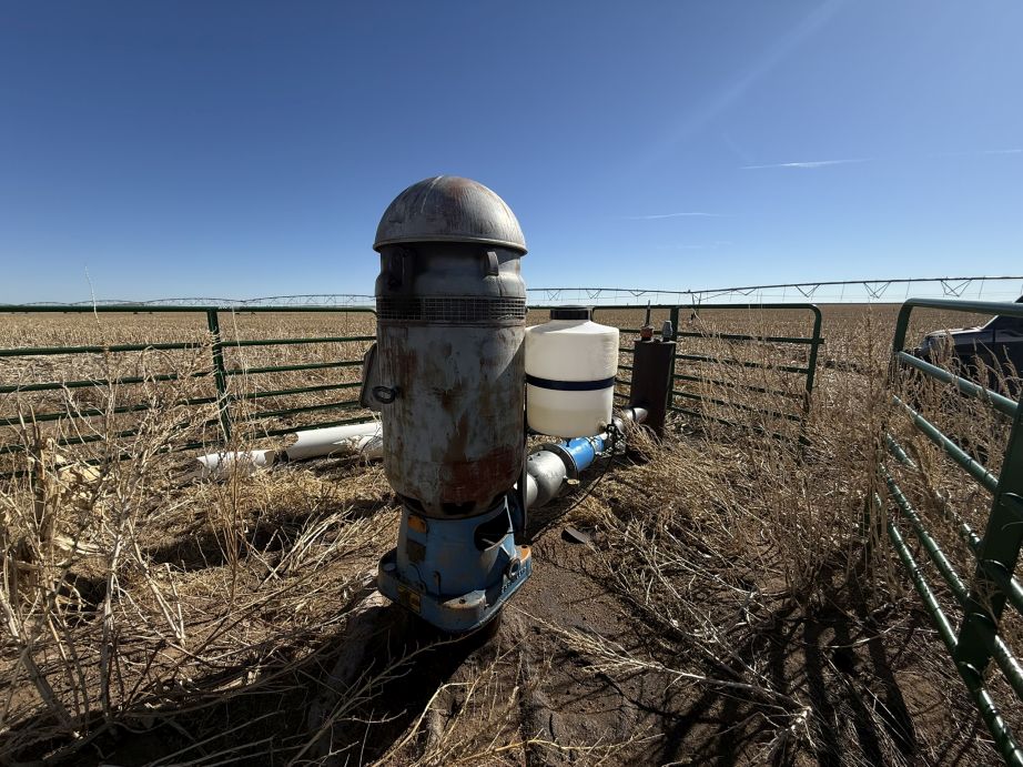
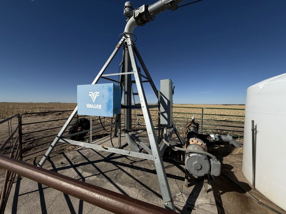
WATER RIGHTS & EQUIPMENT: Seller to convey all Seller’s water rights, water wells, well permits, and equipment appurtenant to the property whether for livestock, domestic and/or irrigation use, including but not limited to the following: Well Permit #6804 FP, #16361 FP, #16366 FP, #17951 FP #18588 FP, #76850, and #20322 FP. The water rights are subject to the rules, regulations, and limitations of the Colorado Department of Water Resources, W-Y Groundwater District, and Republican River Water Conservancy District. Water rights are being sold AS IS-WHERE IS without warranty or guarantee of any water right matters, pumping rates/adequacy of irrigation wells and condition of all irrigation equipment.
POSSESSION: Possession of upon closing except for the following:
Upon the earnest money deposit clearing, the Buyer(s) may enter onto the property to complete necessary farmwork to prepare for 2025 crop season. This completed farmwork does not constitute a farm lease. In the event the Buyer(s) defaults, the Buyer(s) forfeits their earnest money and their farmwork and expenses. In the event the Seller defaults, the earnest money will be returned to the Buyer(s) and cost of the farmwork and expenses to be reimbursed to Buyer(s).
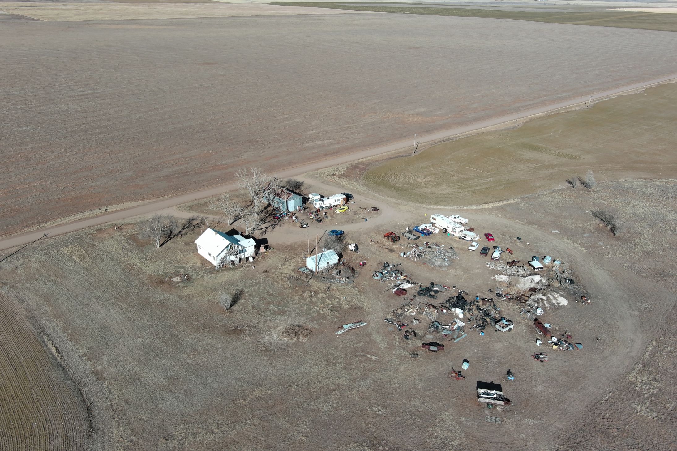
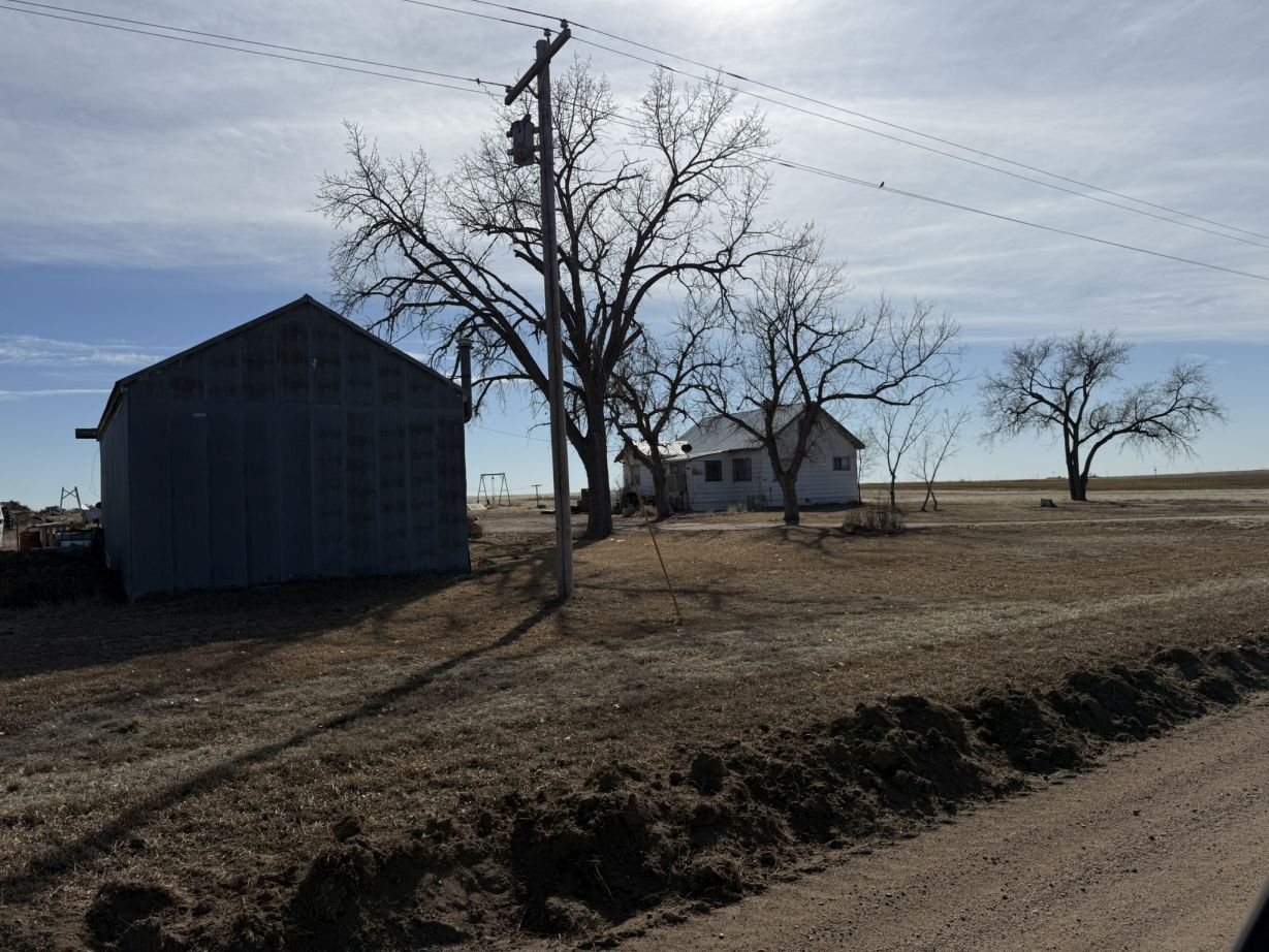
Possession of the rental home on Parcel #9A to be determined.
Possession of the home and buildings on Parcel #13 to be delivered 45 days after closing.
Possession of Parcel #14 to be delivered 45 days after closing. Seller reserves the right to conduct an equipment auction on Parcel #14.
PERSONAL PROPERTY: Description of the personal property and irrigation equipment included within each parcel description.
PROPERTY CONDITION: The prospective Buyer(s) should verify all information contained herein. All prospective bidders are urged to fully inspect the property, its condition, and to rely on their own conclusions and the property is being sold AS IS-WHERE IS, without warranty, representation or recourse to Seller.
FSA DETERMINATION: FSA base acres and yields to pass with the Parcels, Combos, or Units as designated within the Due Diligence Packet. Buyer(s) and Seller, at closing, to sign a memorandum of understanding stating the base acres and yields as designated within the Due Diligence Packet.
REAL ESTATE TAXES: 2025 real estate taxes, RRWCD and WYGWD assessments due in 2026, and there-after, to be paid by Buyer(s).
LEGAL DESCRIPTION/EXEMPTION: Legal descriptions are subject to existing fence/field boundaries or land-use trades, if any. If the property sells in parcels and/or combos and a survey is required to create a metes and bounds legal description and subdivision exemption for Parcel #14. Seller to provide and pay for said survey and apply for said subdivision exemption. Seller & Buyer(s) agree that closing may be ex-tended up to 30 days if necessary to complete said survey and/or subdivision exemption.
MINERALS: Seller to convey all OWNED mineral rights to Buyer(s).
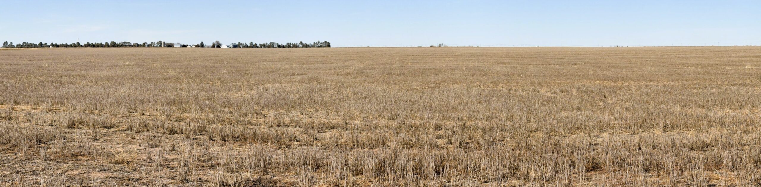
GROWING CROPS: Seller to convey all growing wheat crop to the Buyer(s). Seller to assign all right, title, and interest to the crop insurance at time of closing. Buyer(s) to pay premium at closing.
NOXIOUS WEEDS: There may be areas infested by noxious weeds. The location of and the density of noxious weeds is unknown at this time.
ACREAGES: All stated acreages in the Color Brochure, Due Diligence Packet, and visual presentation at the auction are approximate and are obtained from the FSA office and/or county tax records. Both sources may indicate different acreages and no warranty is expressed or implied as to exact acreages of property. All bids are for the total parcel without regard to exact acreage. There will be no adjustment in purchase price if acreage is different than what is stated in this packet and/or stated at the auction.
MULTIPLE PARTY BID: If several parties go together and collectively bid on parcel(s) and the Multiple Party Bid is the highest bid, at the conclusion of the auction each party within the Multiple Party Bid shall identify and agree to sign separate contract(s), pay for their respective separate parcel(s) at closing, and pay for a metes & bounds survey and additional title insurance premium to create the legal description for their respective separate parcel. The collective purchase prices for the separate parcels shall equal the total Multiple Party Bid.
BIDDER REQUIREMENTS: To register to bid, Buyer(s), prior to the auction, must review and accept the Due Diligence Packet with the full auction terms and conditions, property descriptions, pertinent information, title commitments, and sample contracts. Due Diligence Packet may be obtained by visiting auction property page at reckagri.com, or by calling Reck Agri Realty & Auction. Bidding via cell phone, inter-net, and/or bidding on someone’s behalf, must be approved by Reck Agri Realty & Auction 24 hours prior to auction.
ANNOUNCEMENTS: The information contained herein has either been given to us by the owner of the property or obtained from sources that we deem reliable. We have no reason to doubt its accuracy, but we do not guarantee it. Reck Agri Realty & Auction and the Seller assume no responsibility for the omissions, corrections, or withdrawals. The location maps are not intended as a survey and are for general location purposes only. The prospective Buyer(s) should verify all information contained herein. Reck Agri Realty & Auction and all other agents of Broker are or will be acting as a Transaction Broker. Announcements made by Reck Agri Realty & Auction, at the time of sale will take precedence over any previously printed material or other oral statements. Reck Agri Realty & Auction does not offer broker participation for the “OTTO E. LUEKING JR ESTATE LAND AUCTION”. Reck Agri Realty & Auction reserves the right to require bank references upon request and reserves the right to refuse bids from any bidder. Bid-ding increments are at the discretion of the Broker.
COPYRIGHT: Photographs, videos, Color Brochure & Due Diligence Packets are property of Reck Agri Realty & Auction and cannot be reproduced without permission.

NOTICE TO PROSPECTIVE BUYER(S): The information contained herein has either been given to us by the owner of the property or obtained from sources that we deem reliable. We have no reason to doubt its accuracy, but we do not guarantee it. Reck Agri Realty & Auction and the Seller assumes no responsibility for the omissions, corrections, or withdrawals. The location and aerial maps are not intended as a survey and are for general location purposes only. The prospective Buyer(s) should verify all information contained herein. All prospective buyers are urged to fully inspect the property, its condition and to rely on their own conclusions. All equipment and improvements are to be sold AS IS-WHERE IS, without warranty, representation, or recourse to Seller.