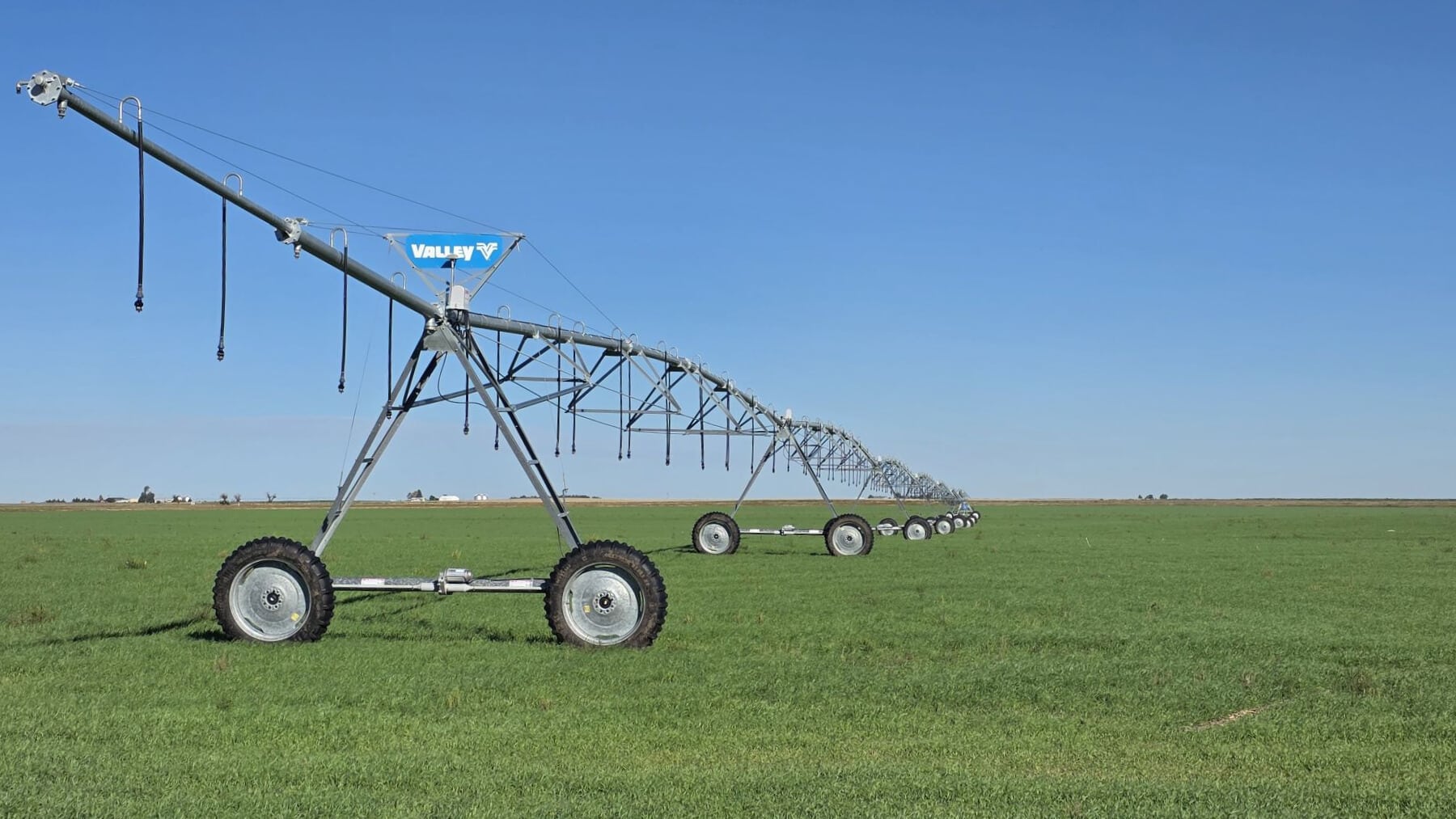
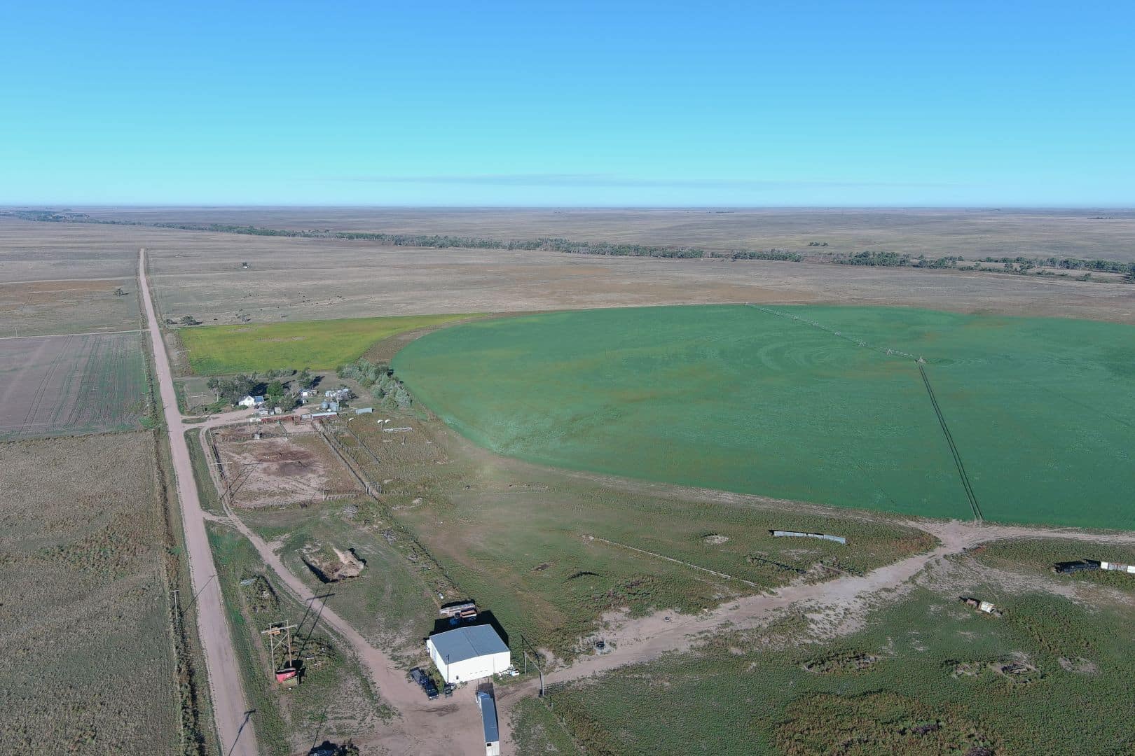
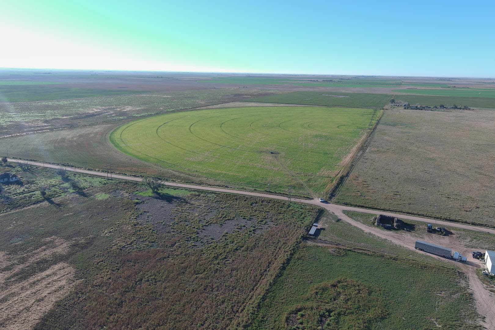
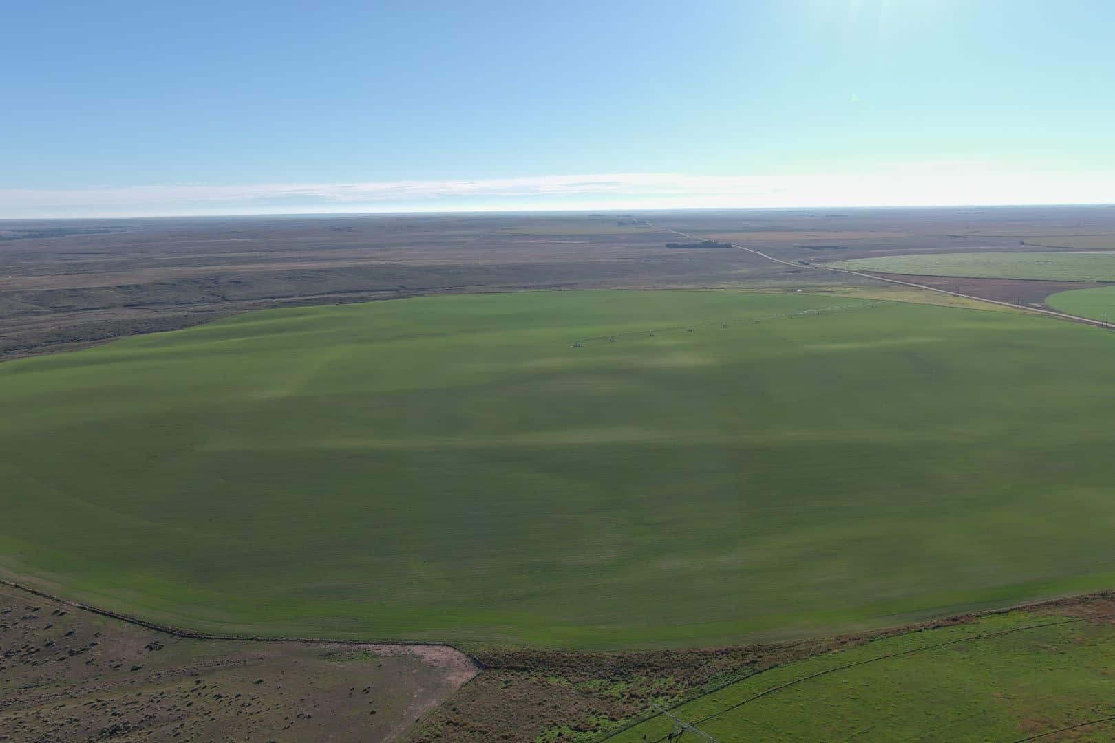
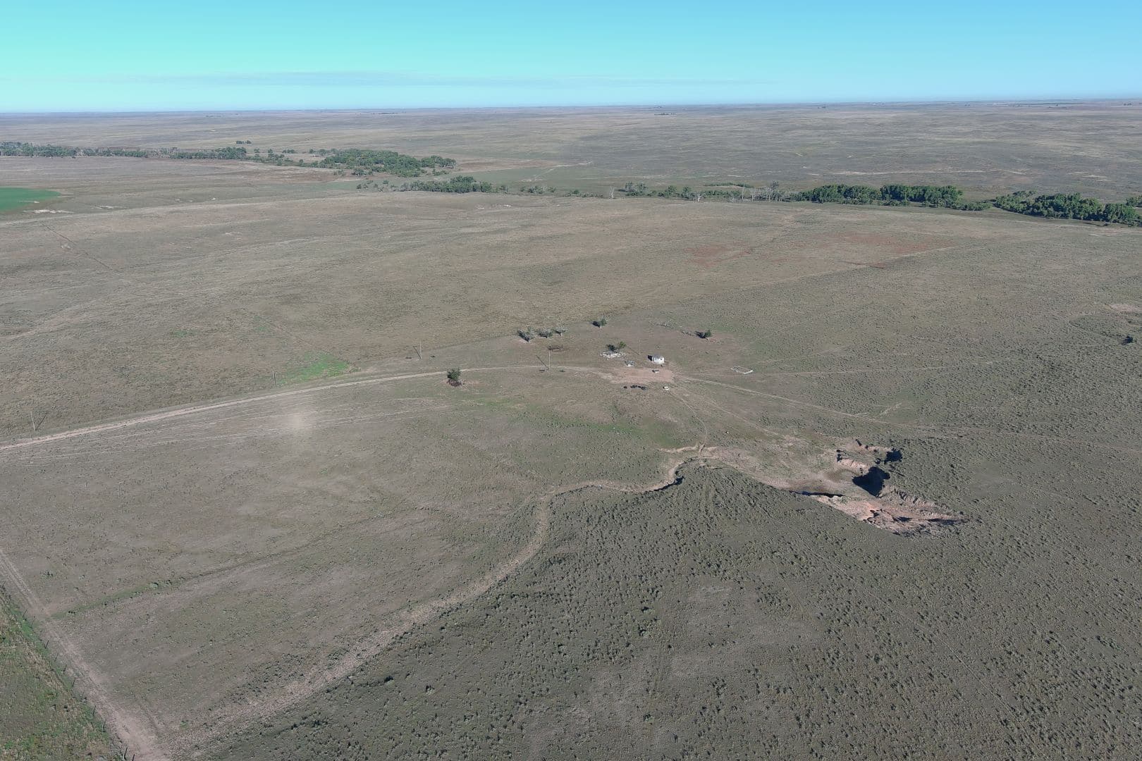
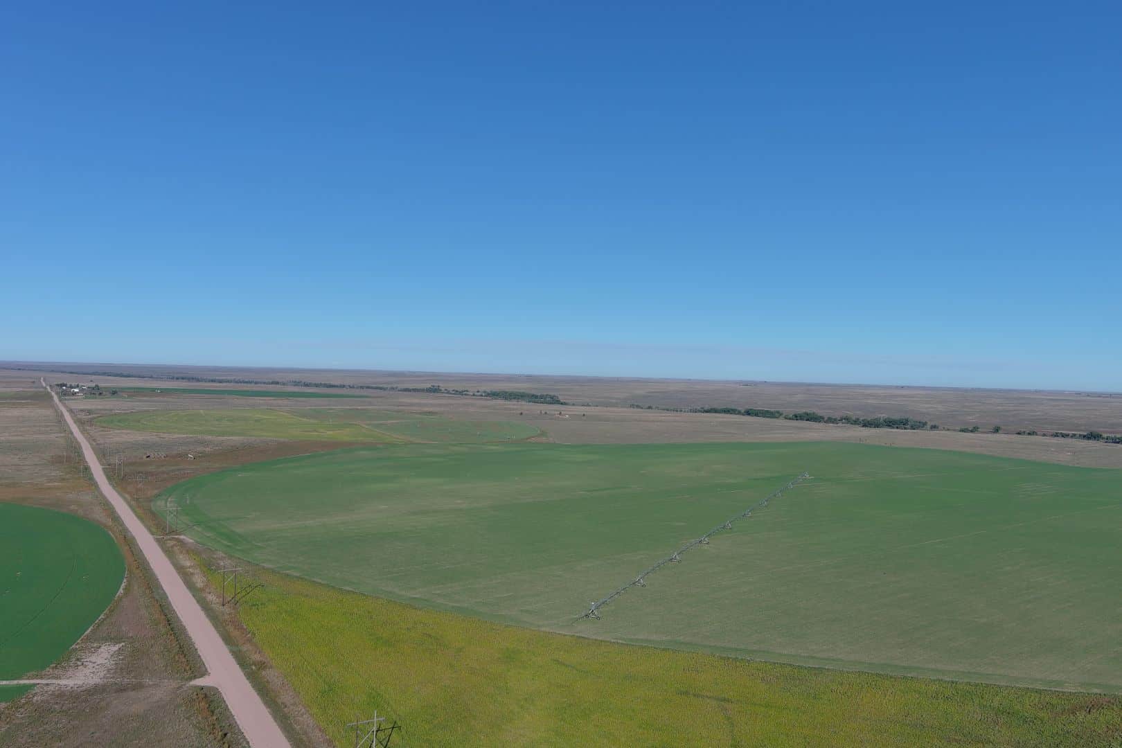
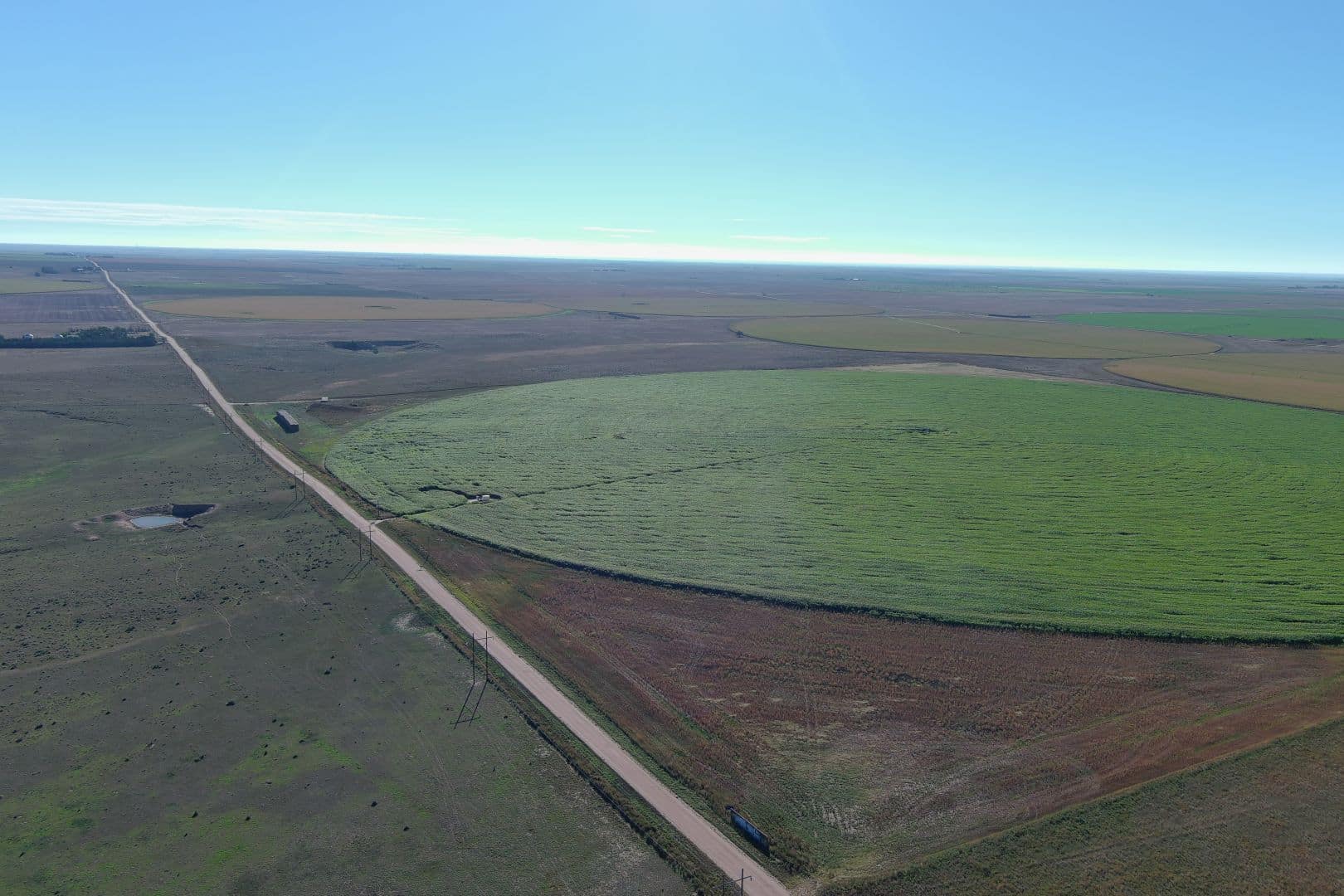
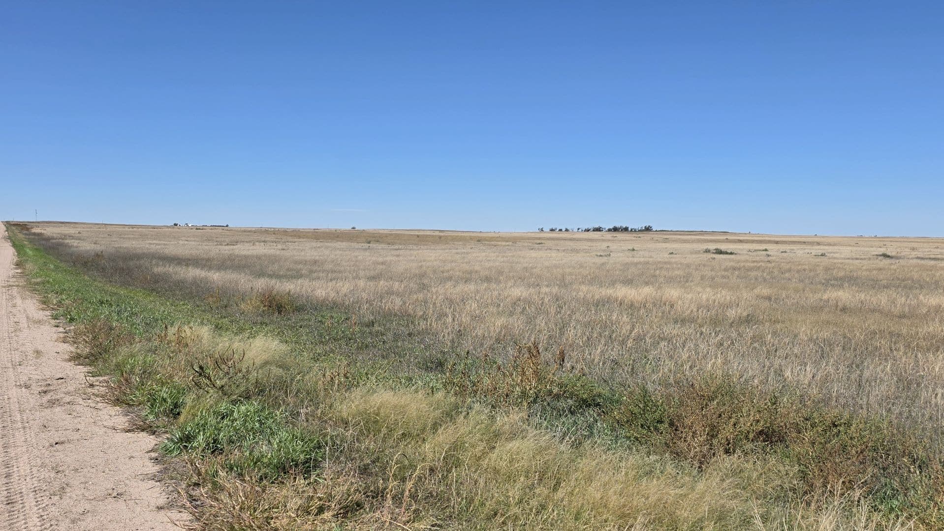
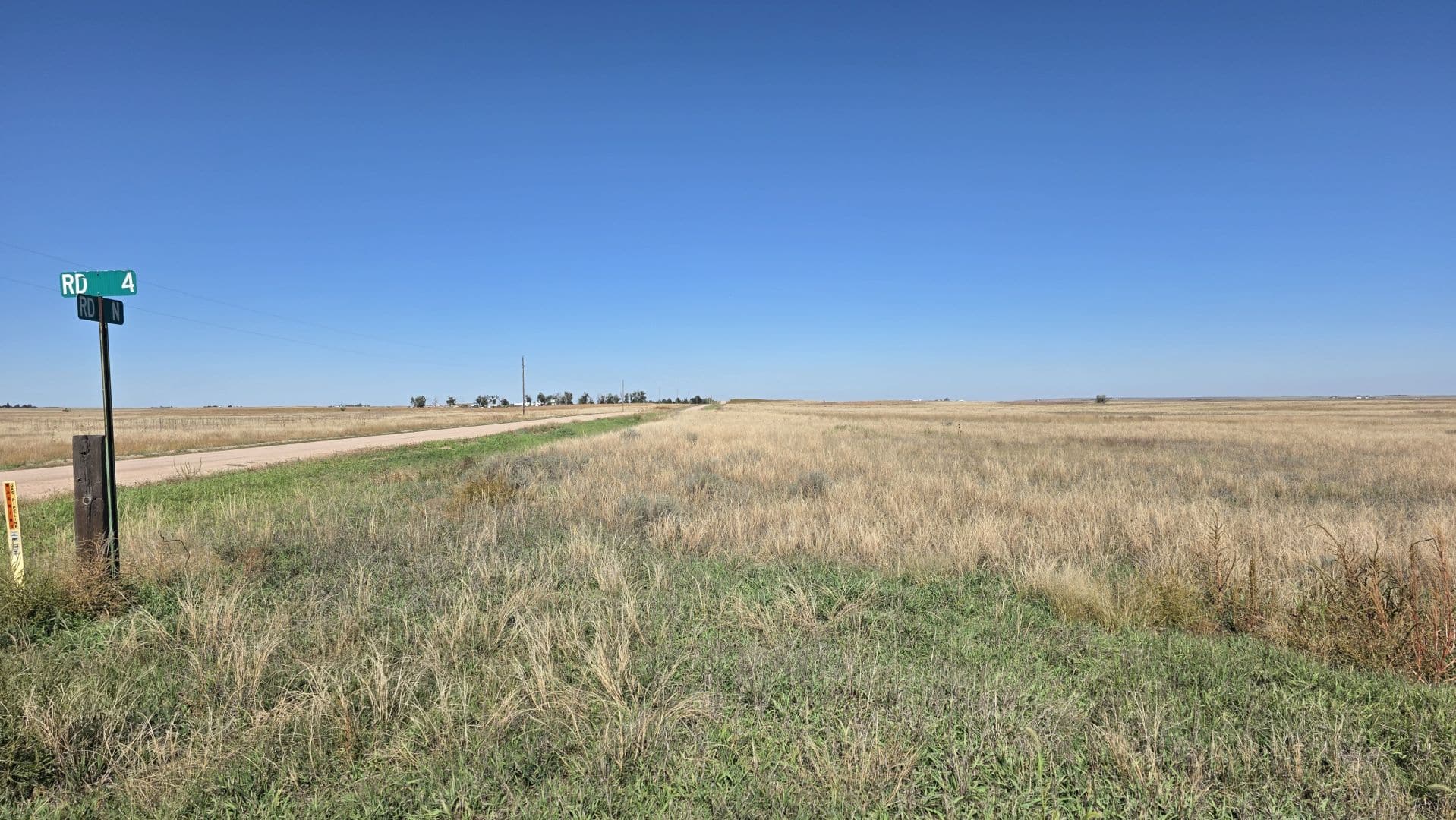
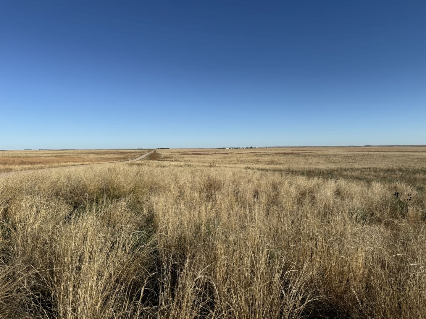
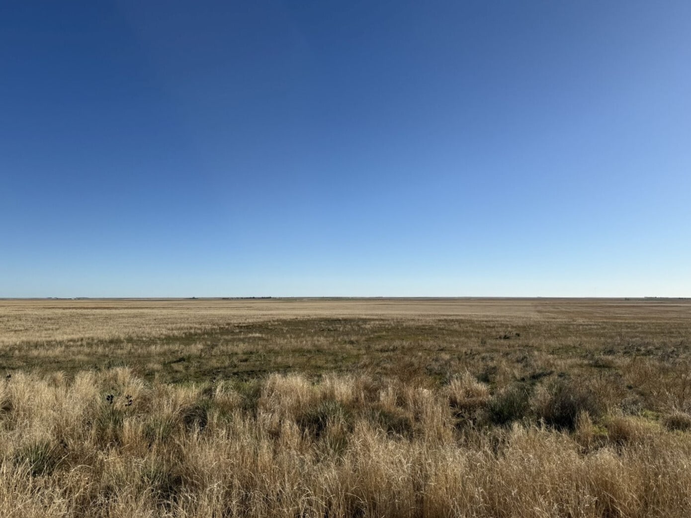
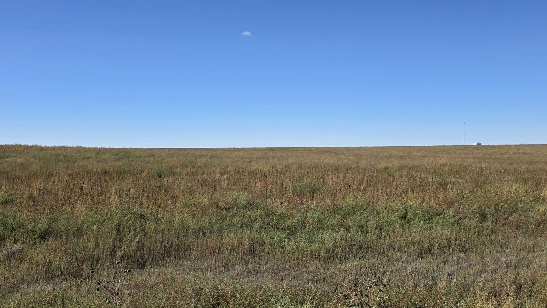
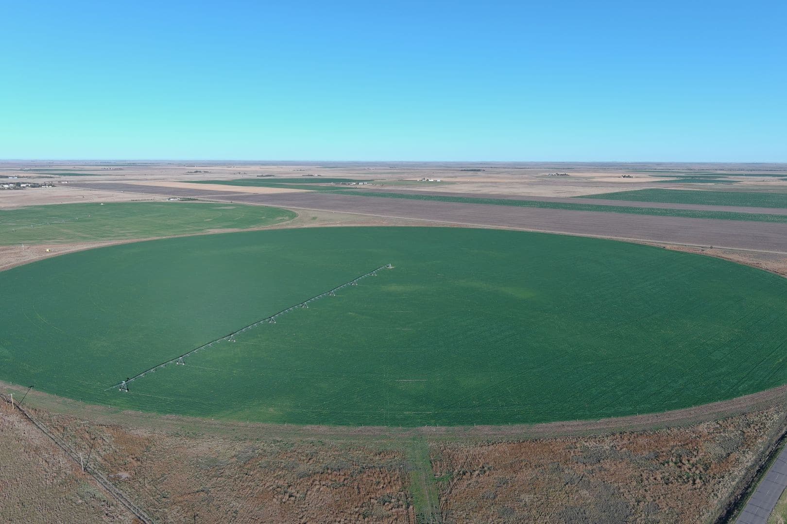
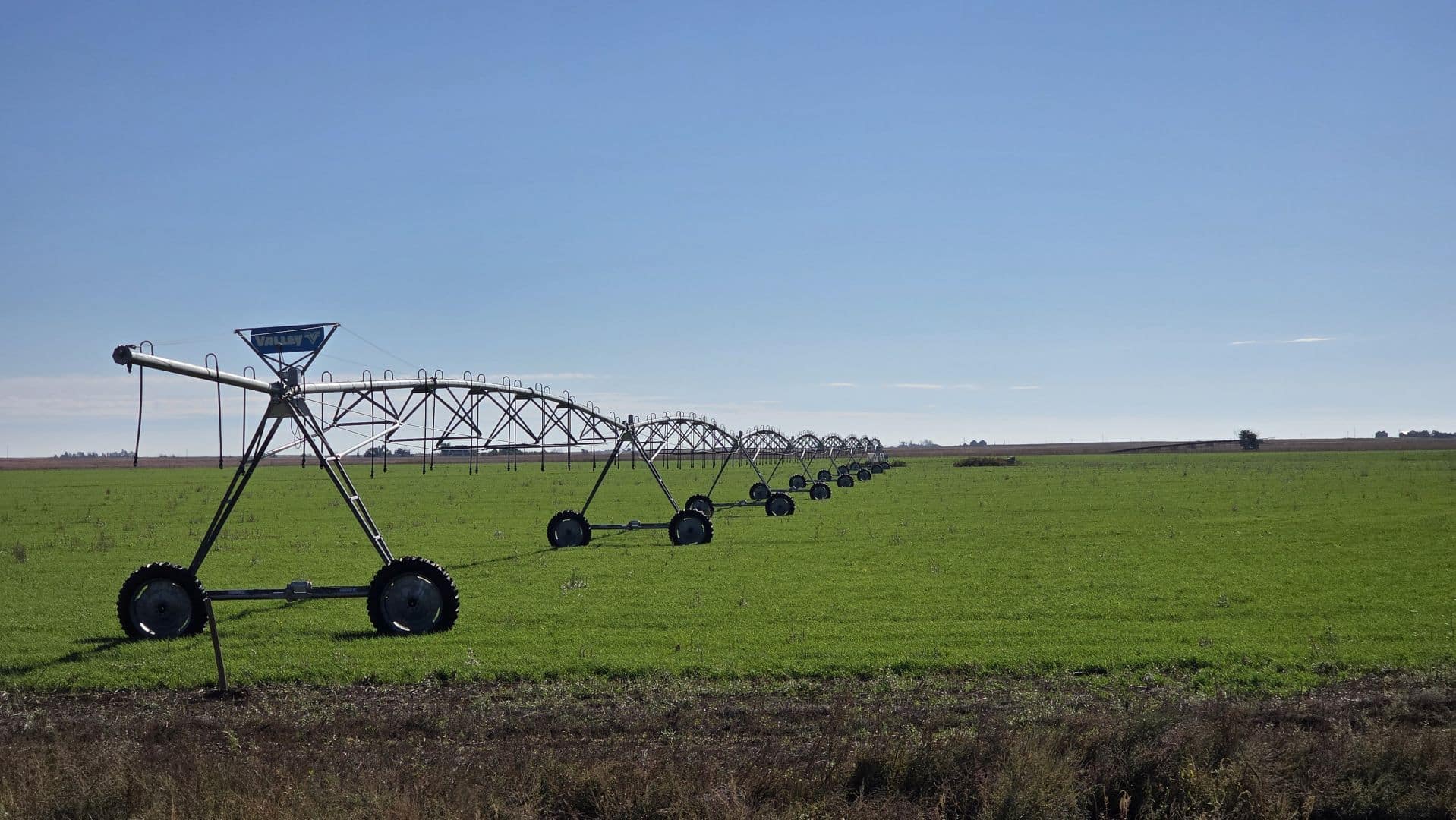
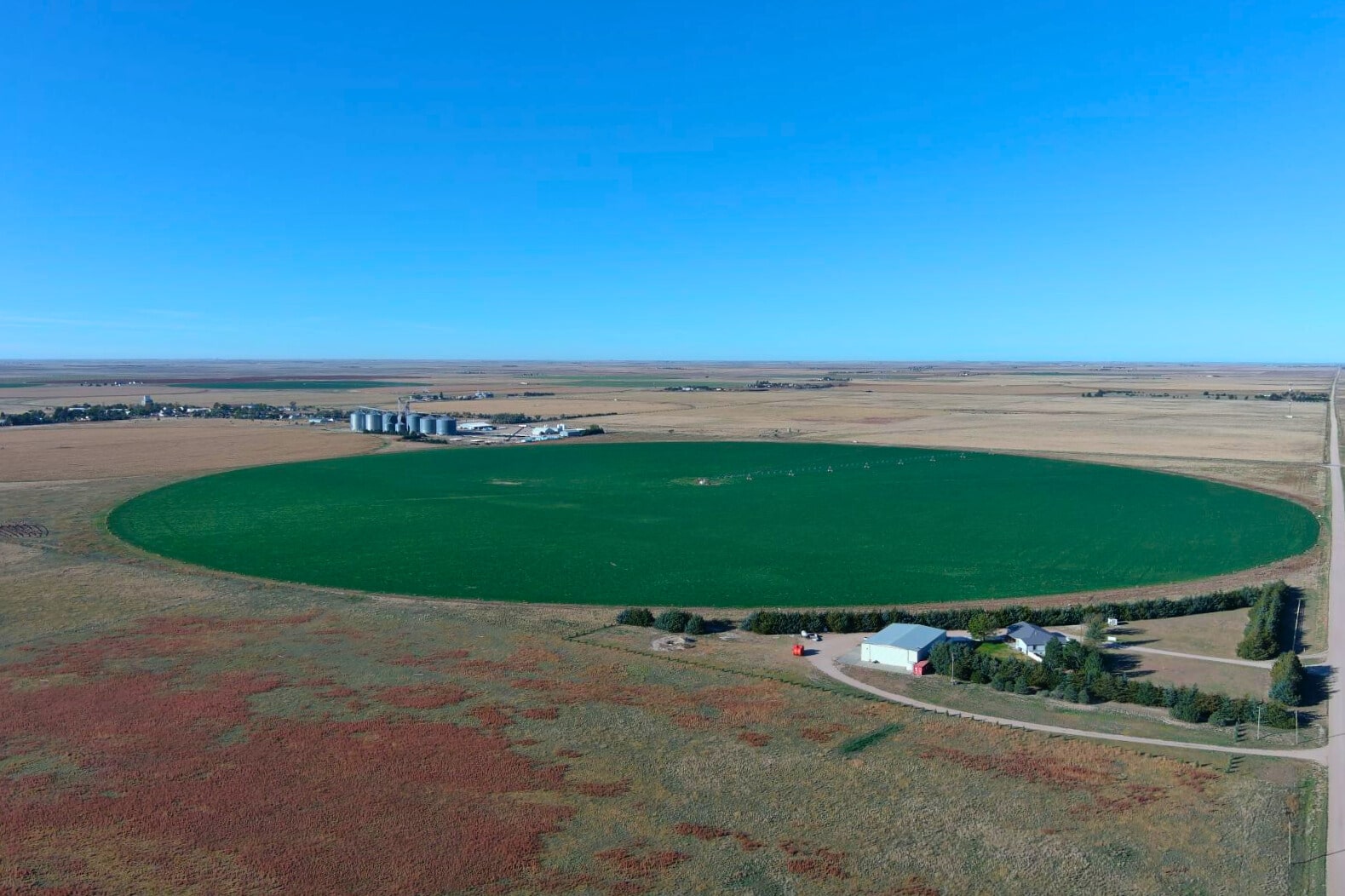
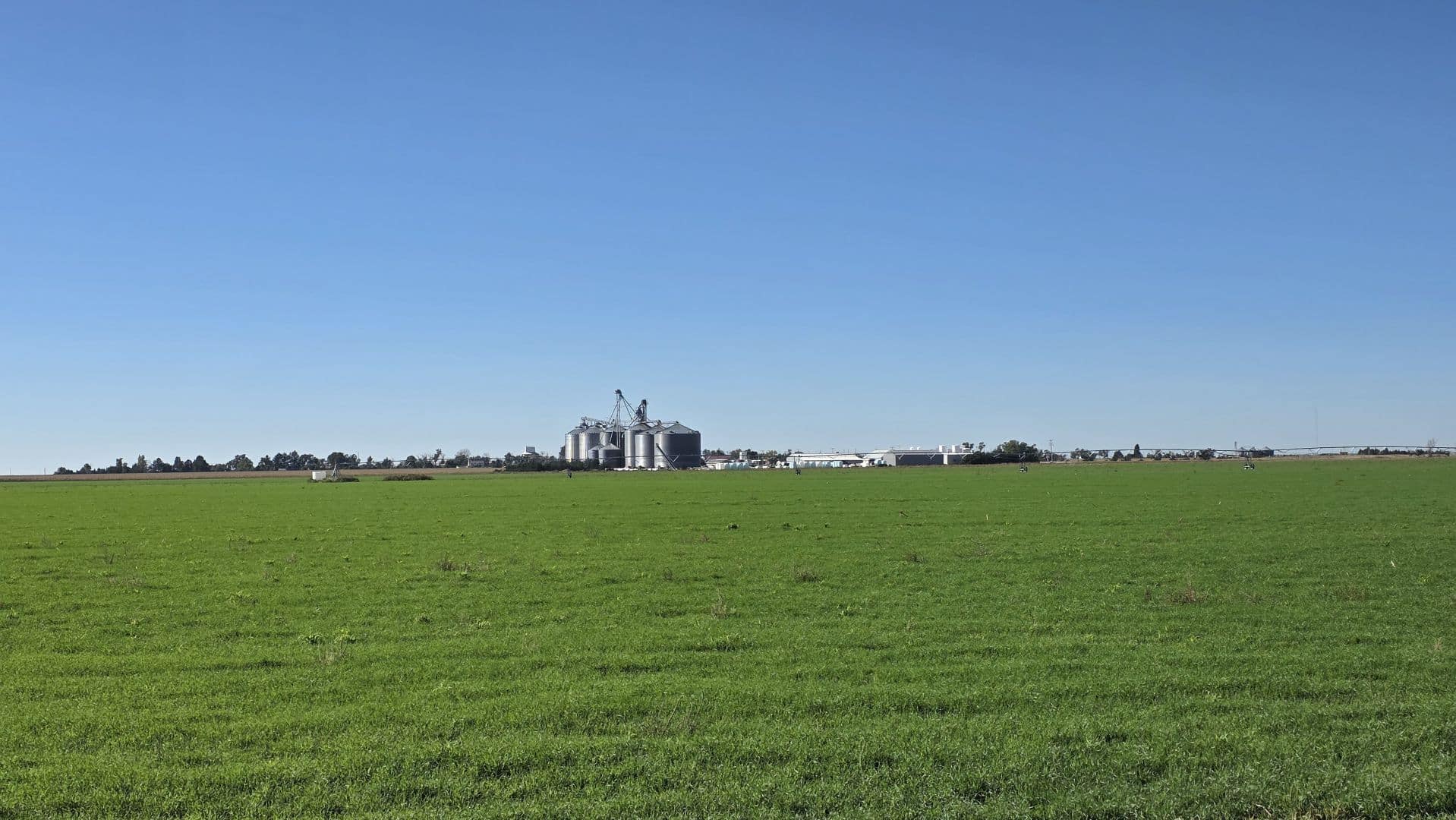
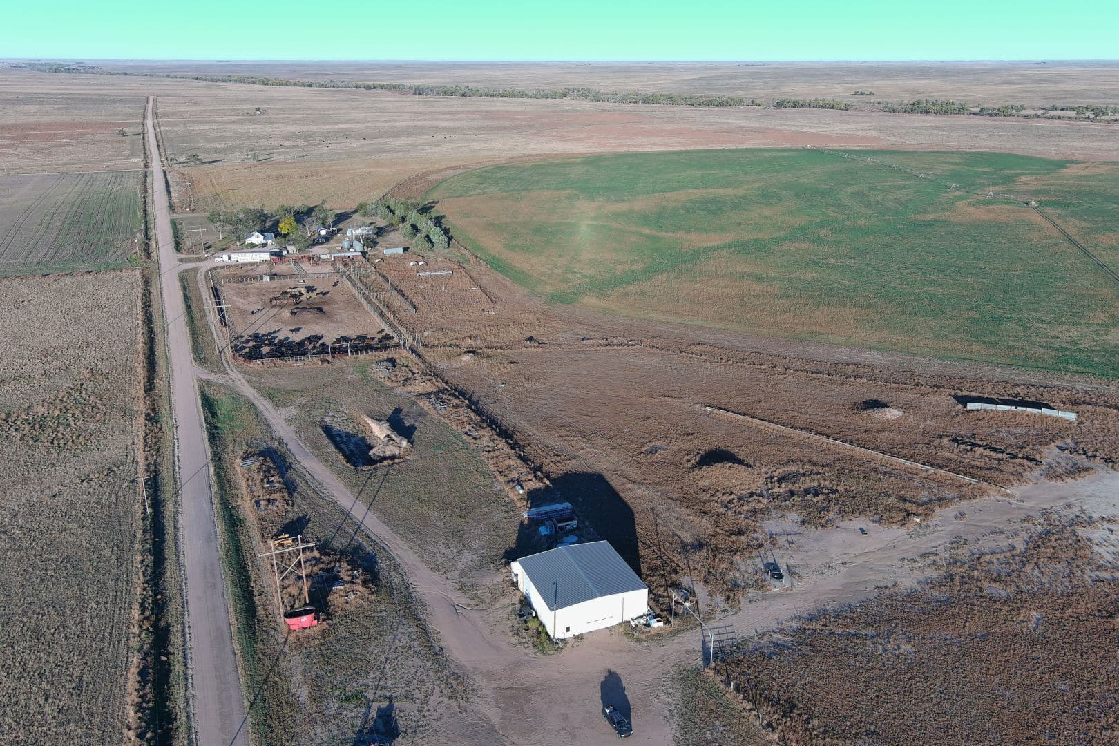
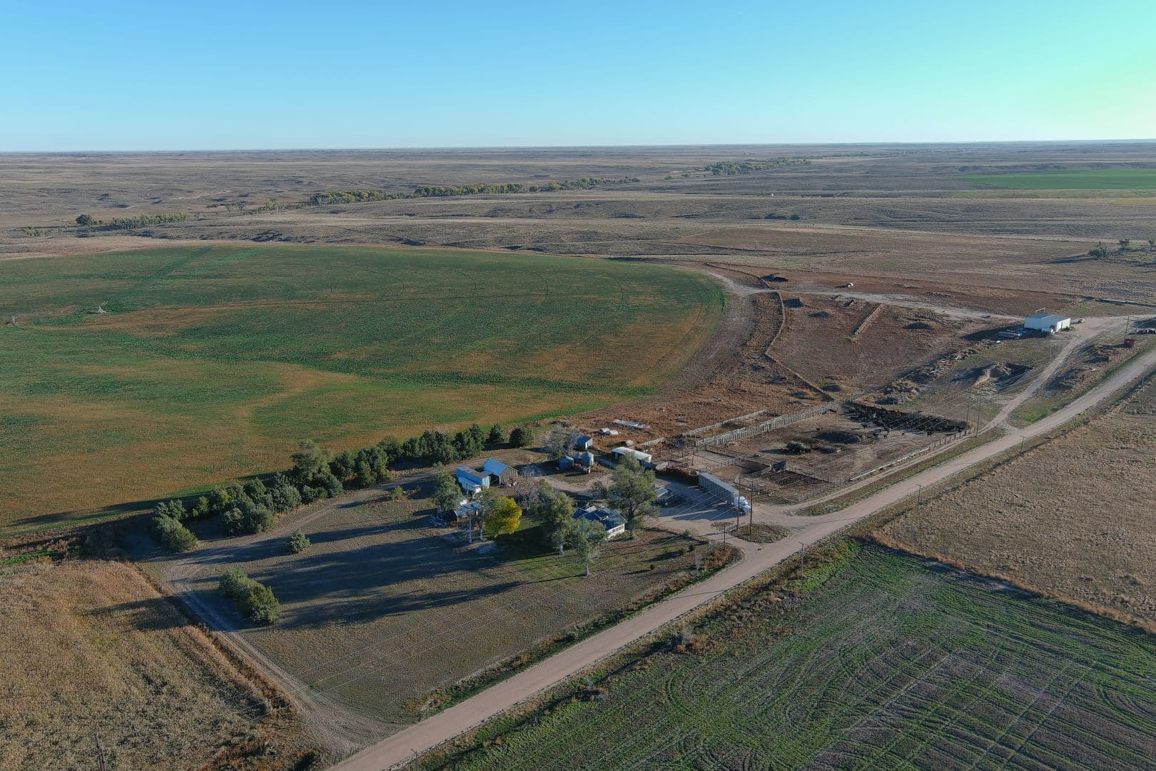
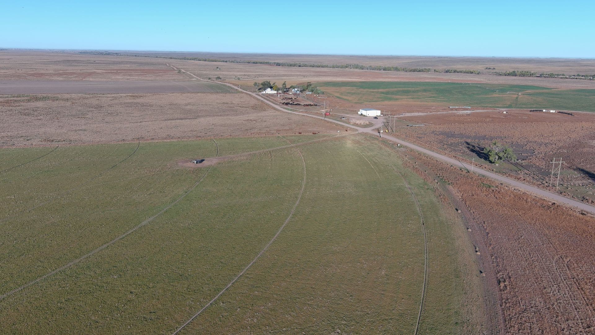
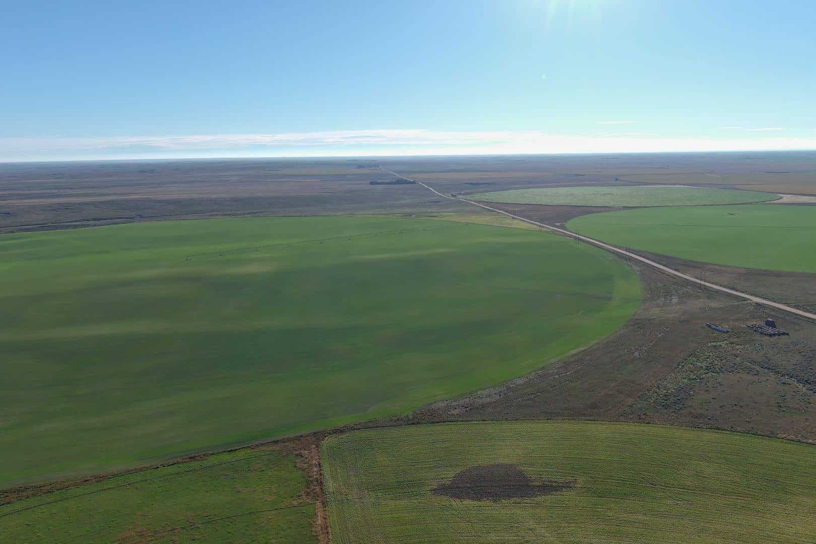
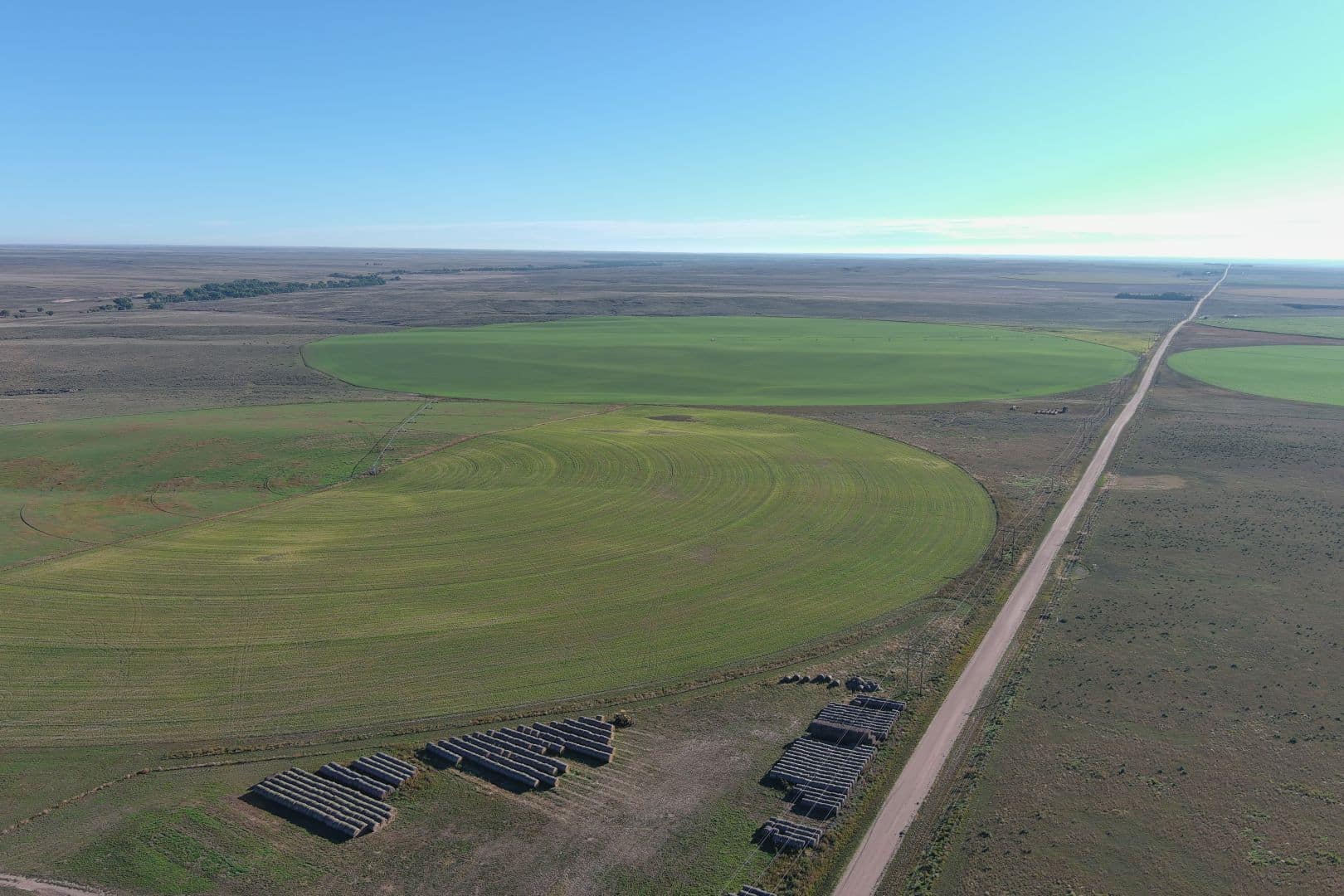
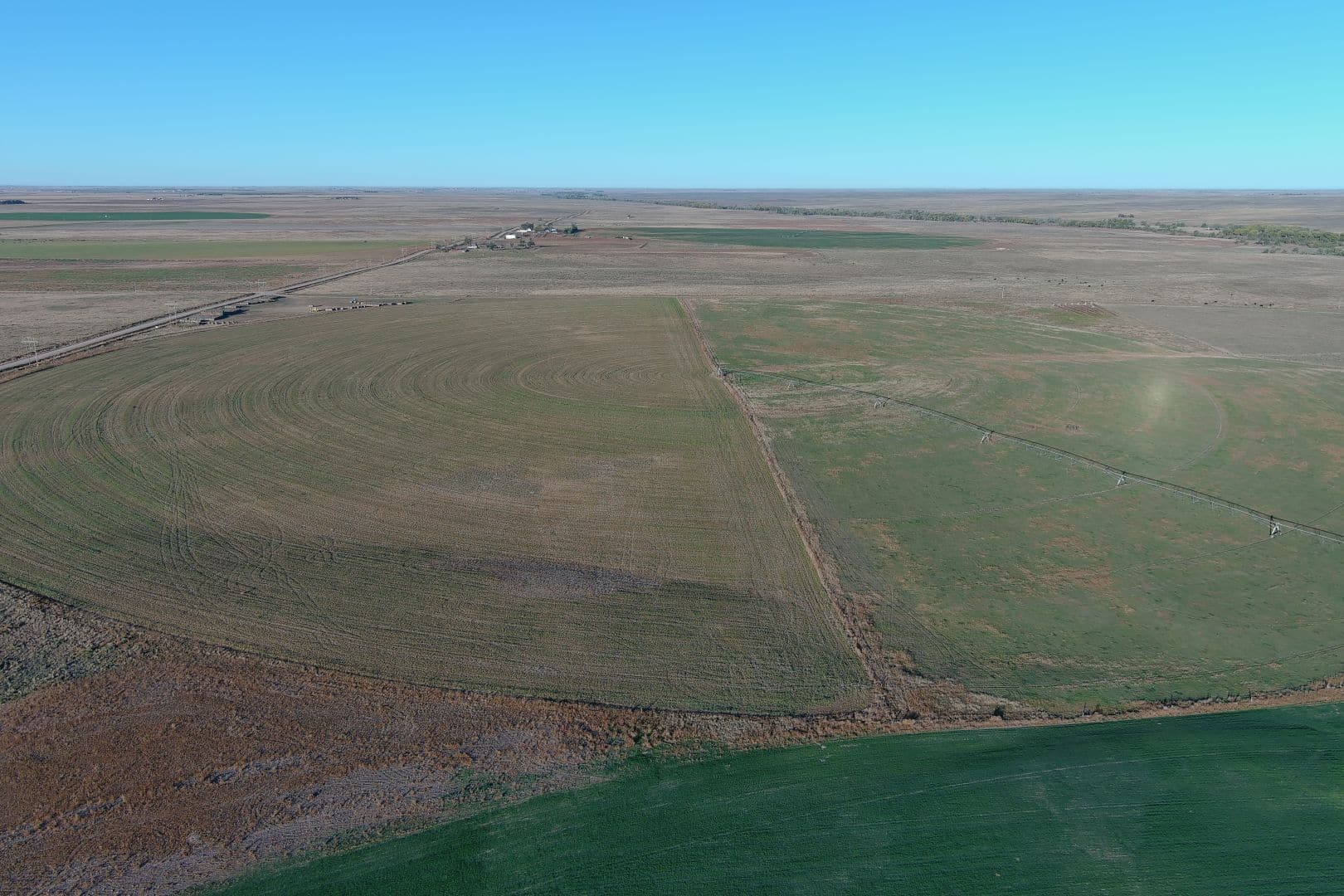
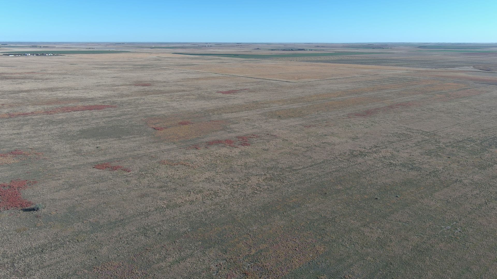
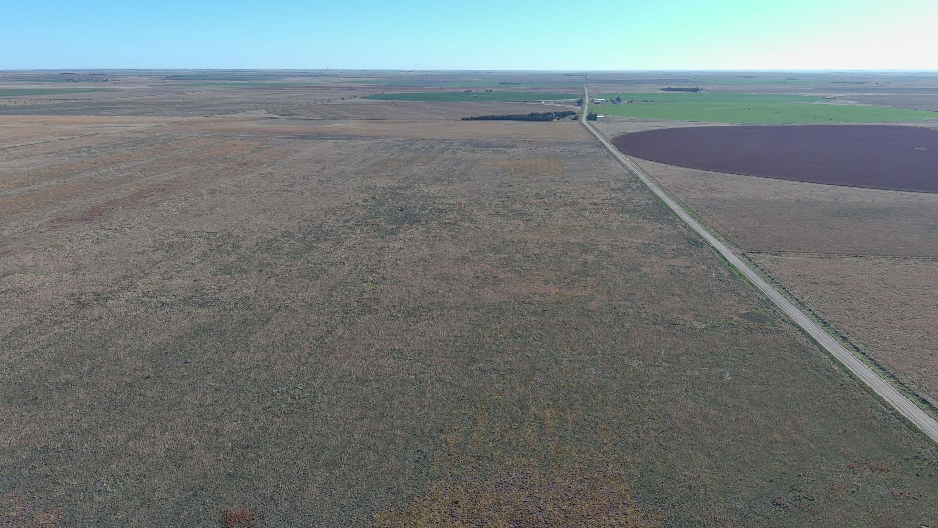
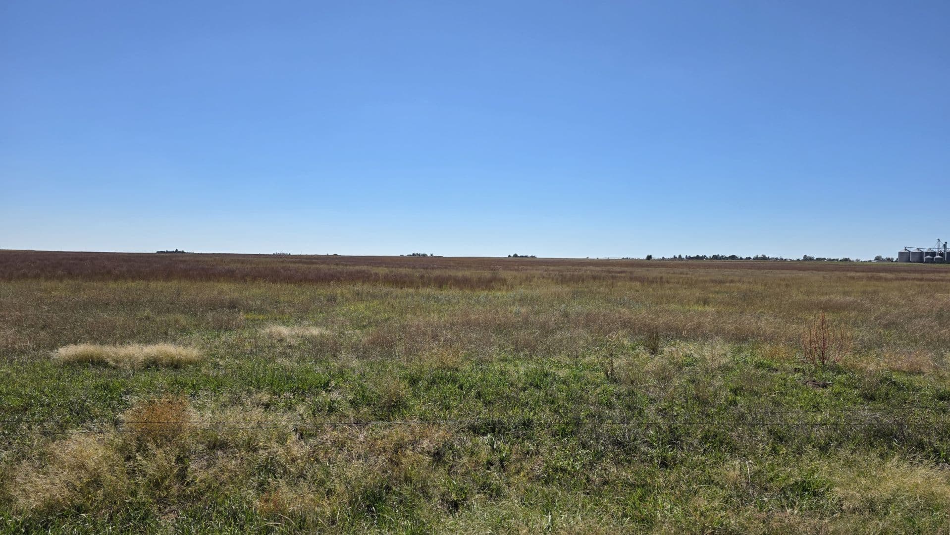
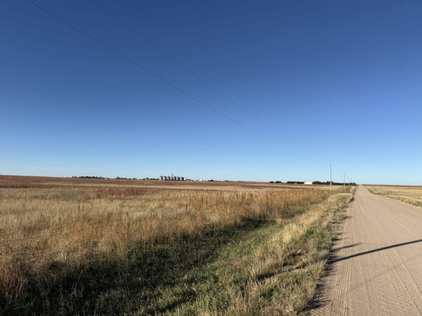
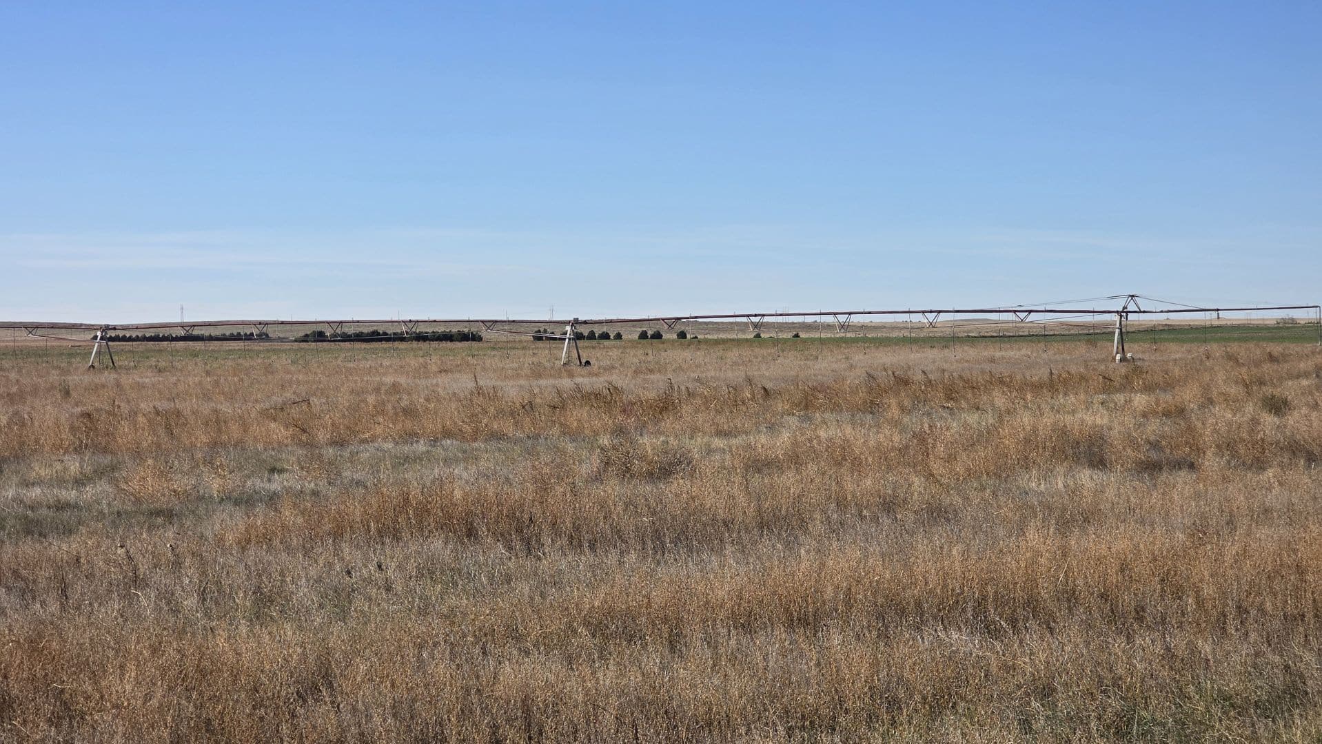
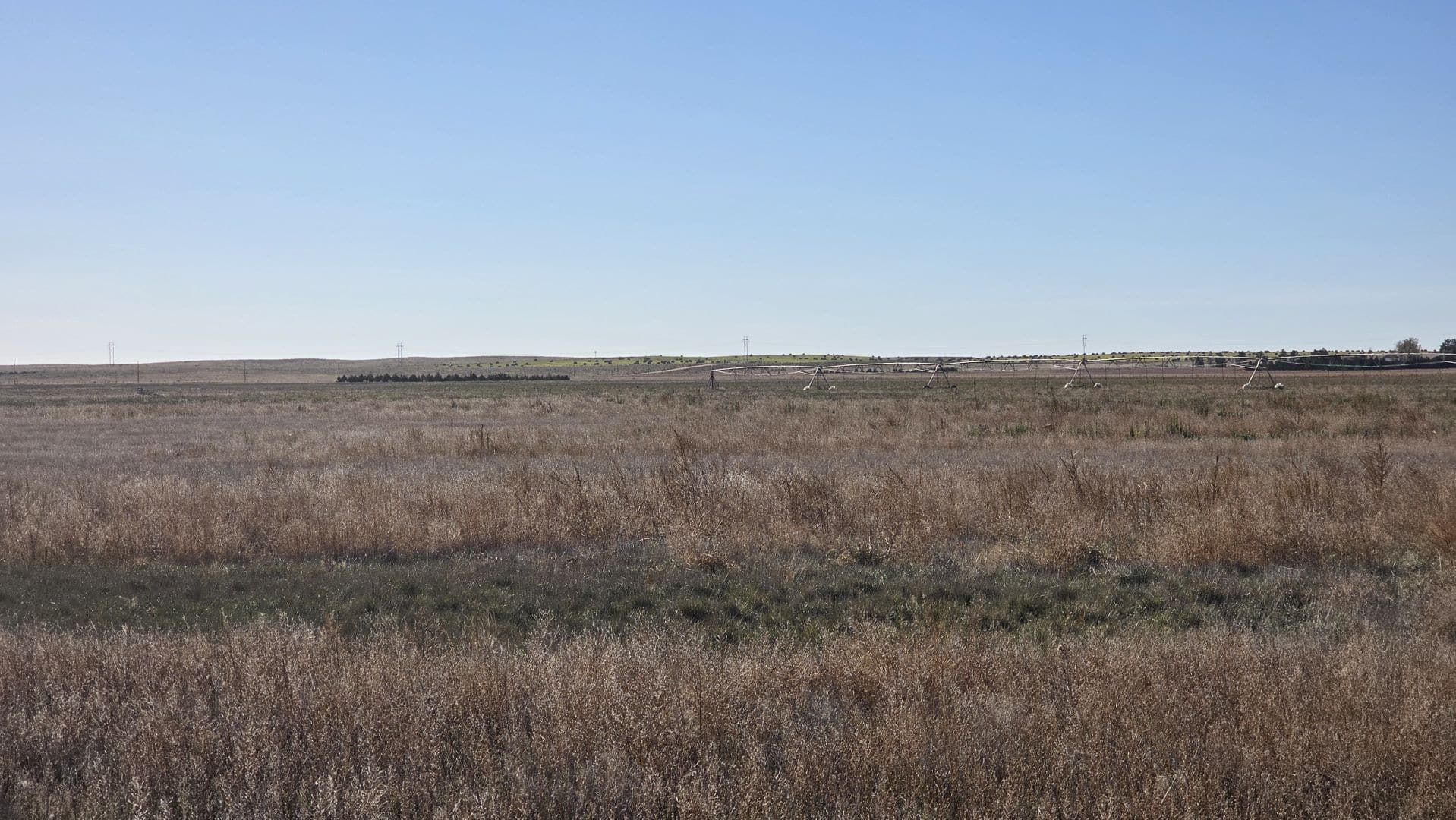
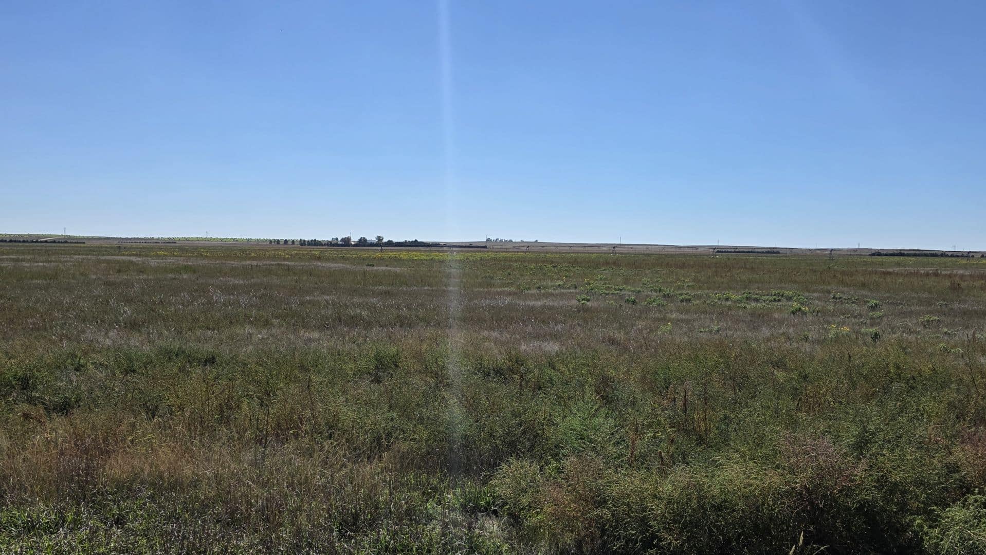
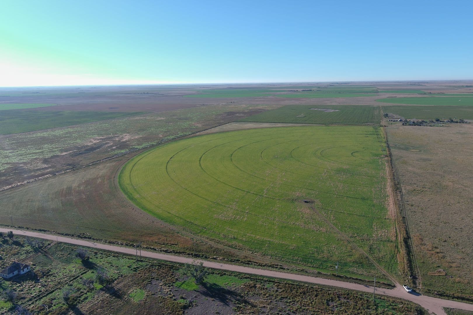
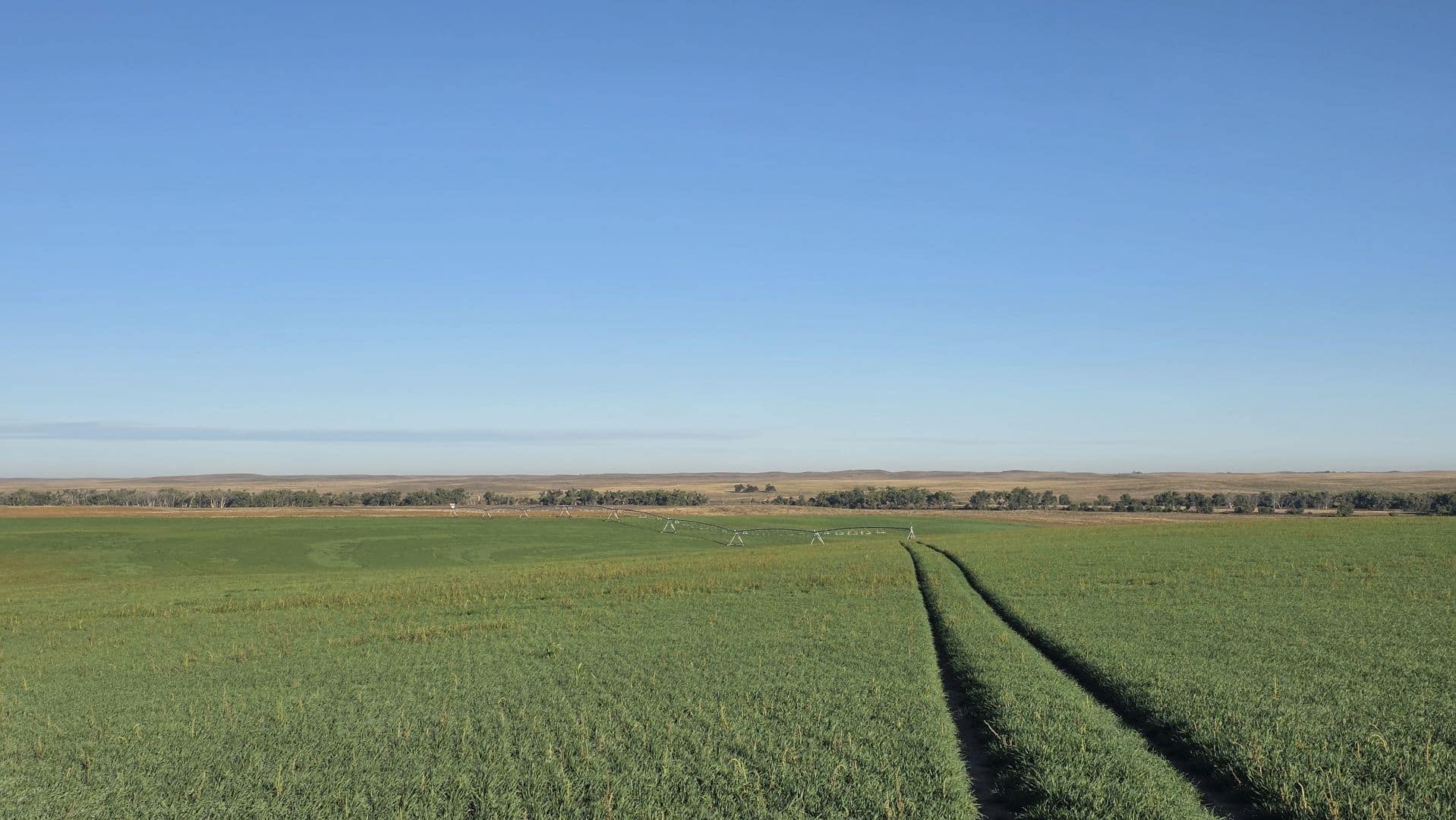
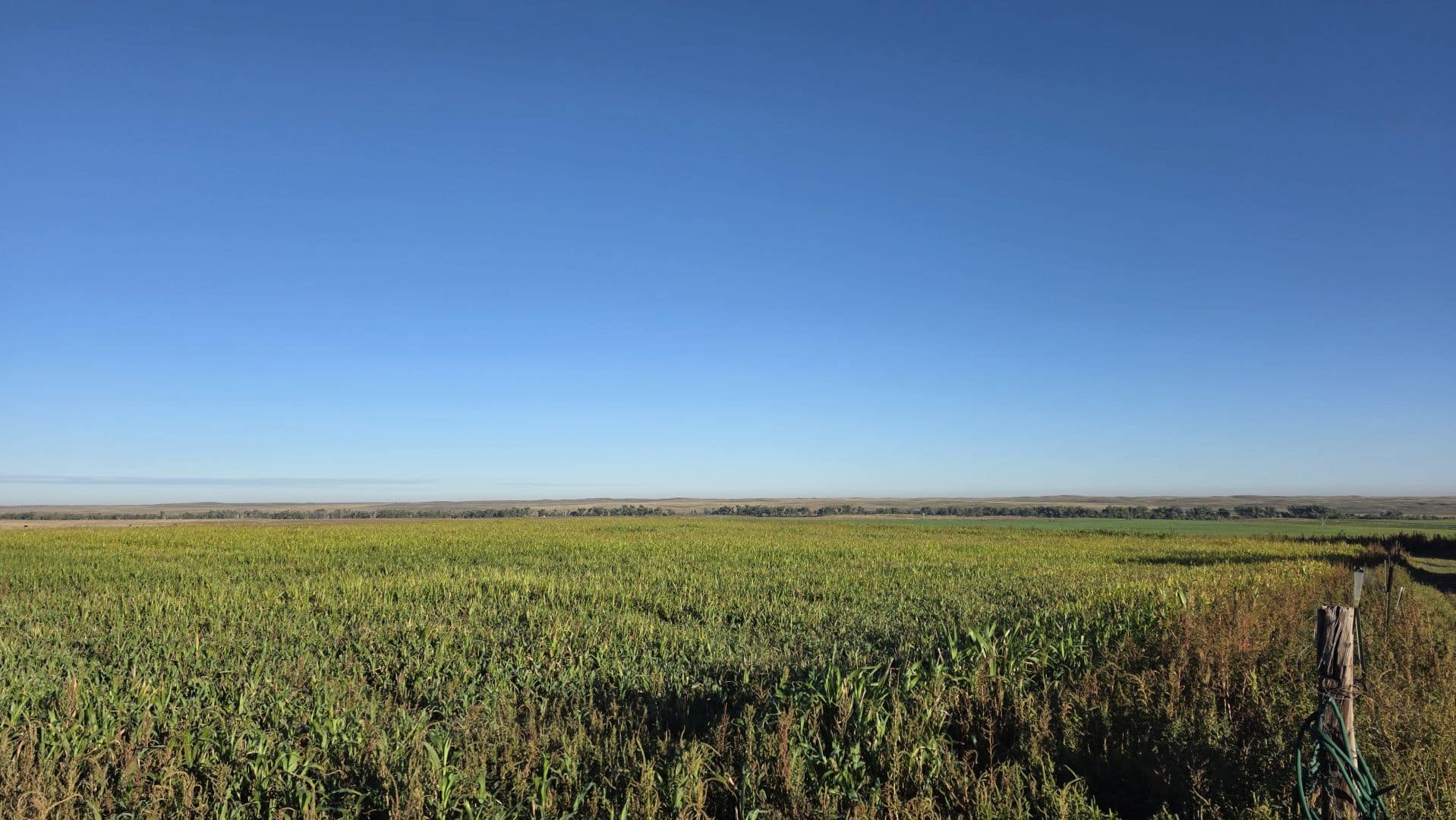
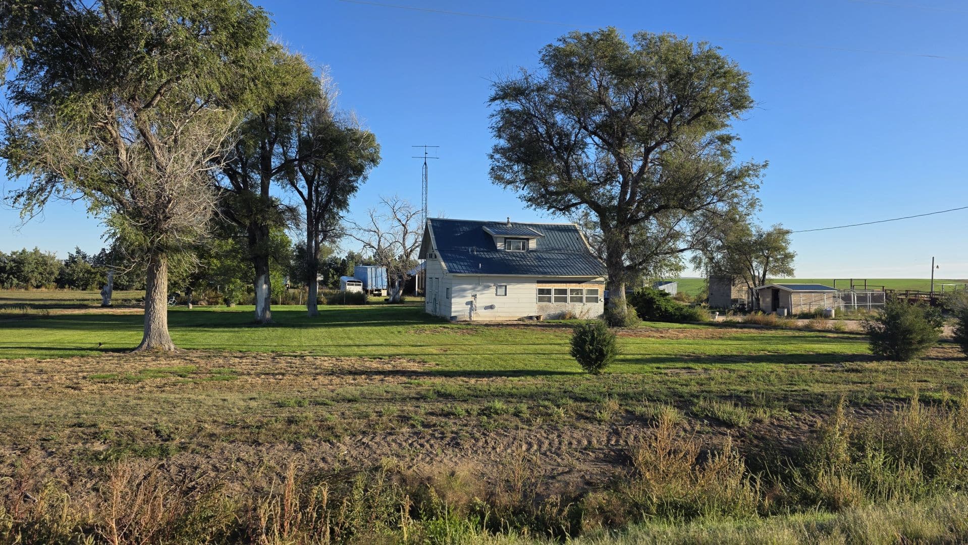
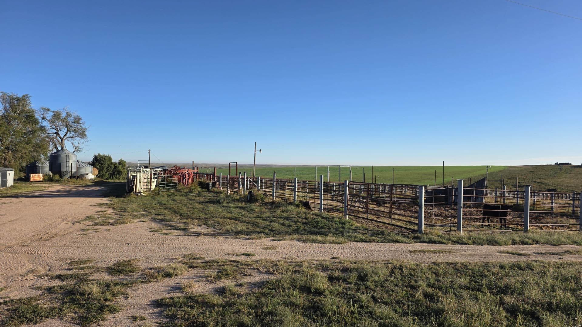
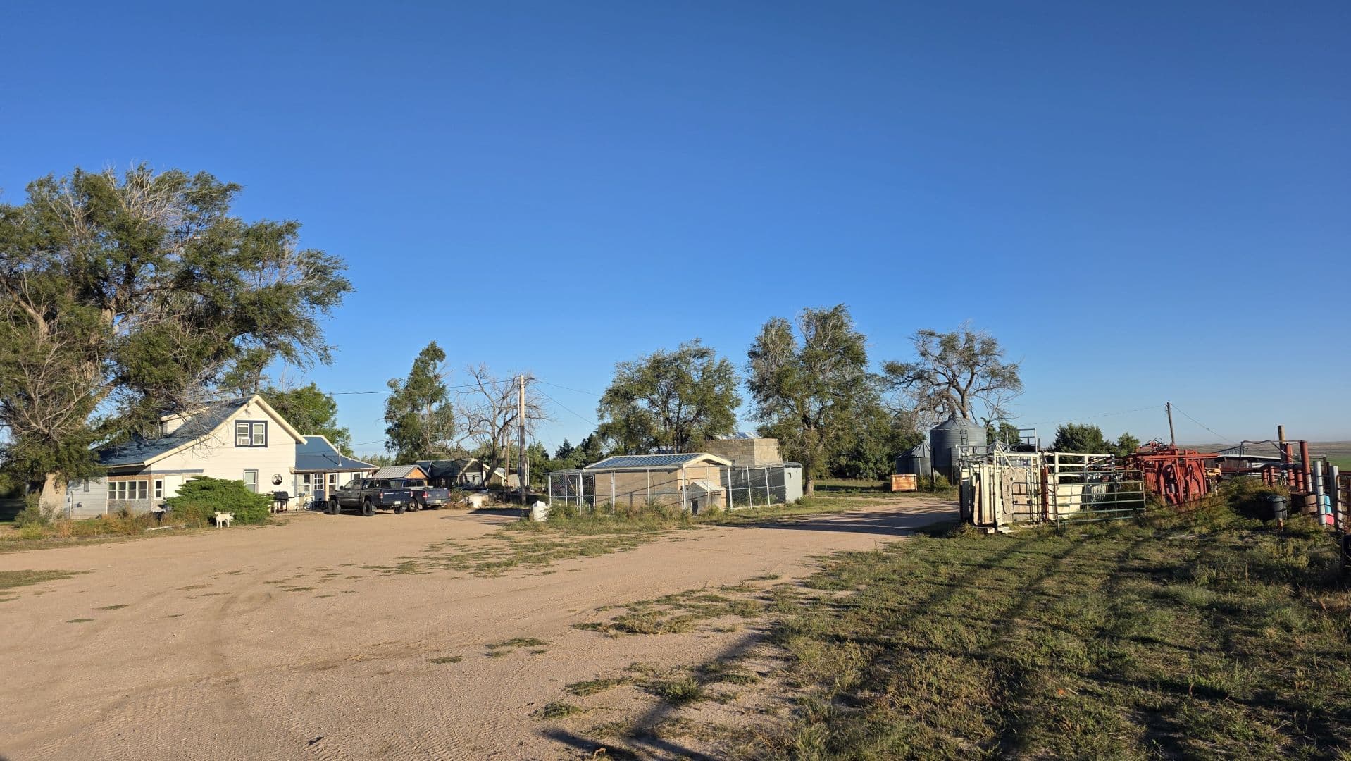
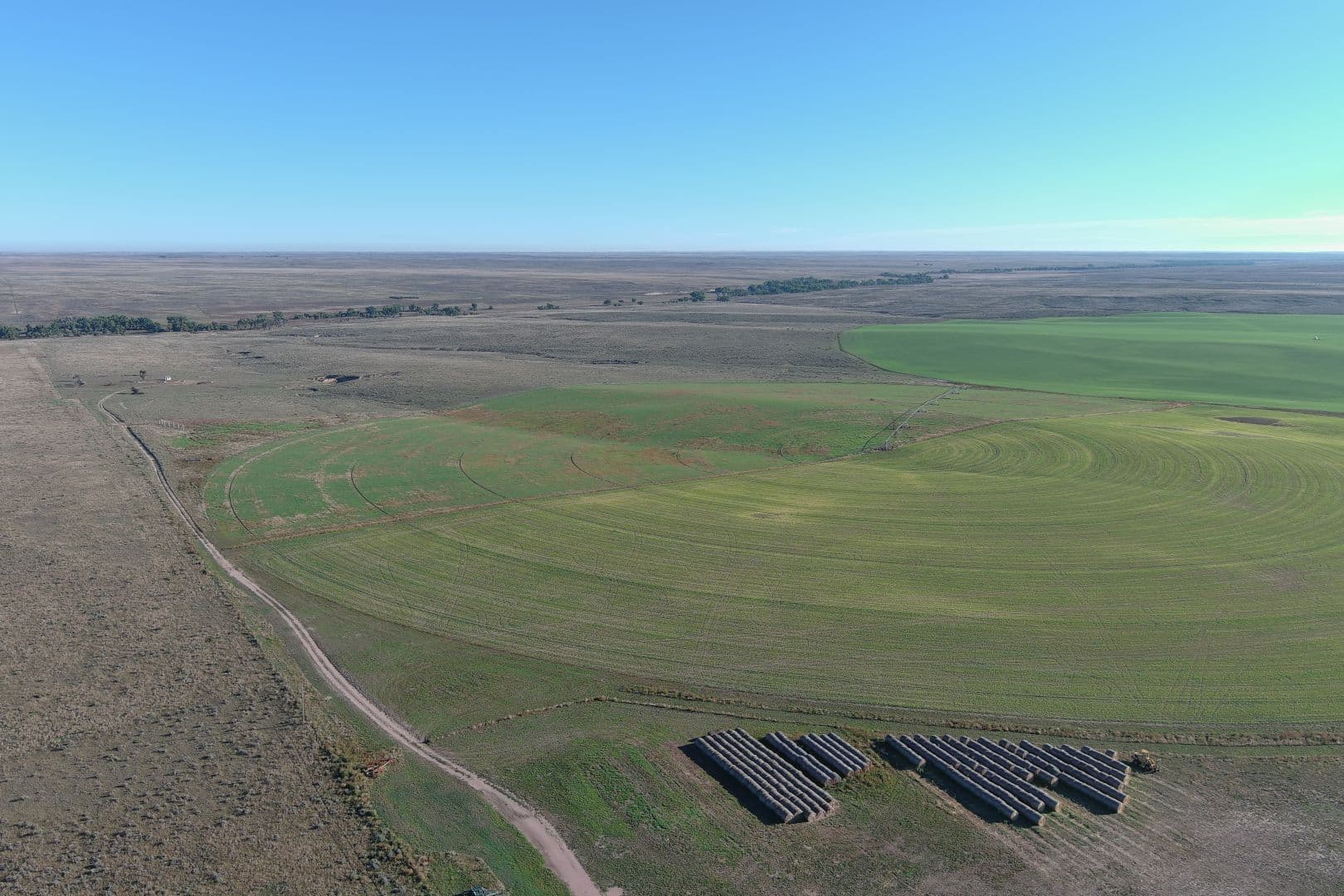
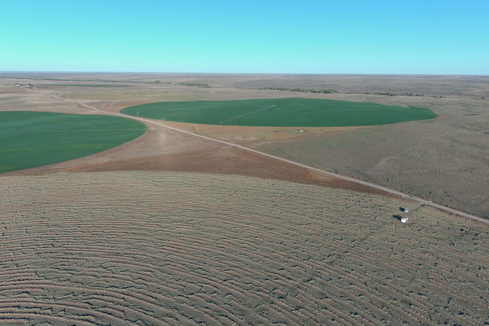
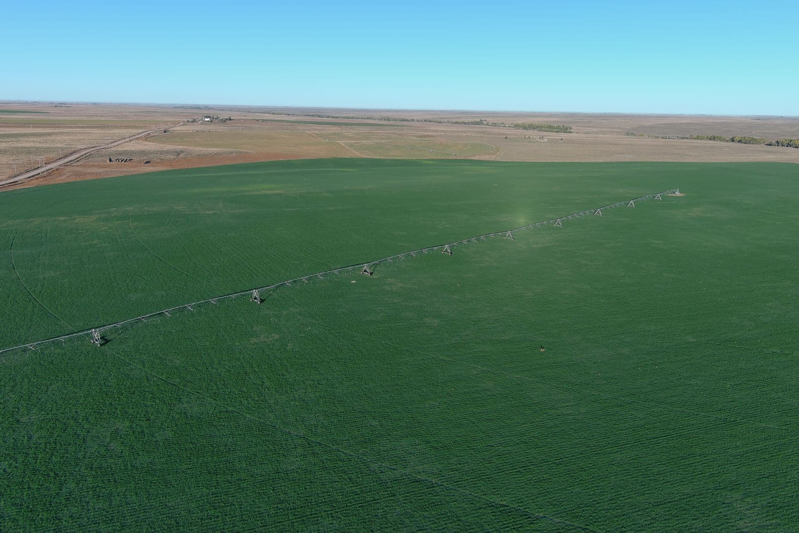
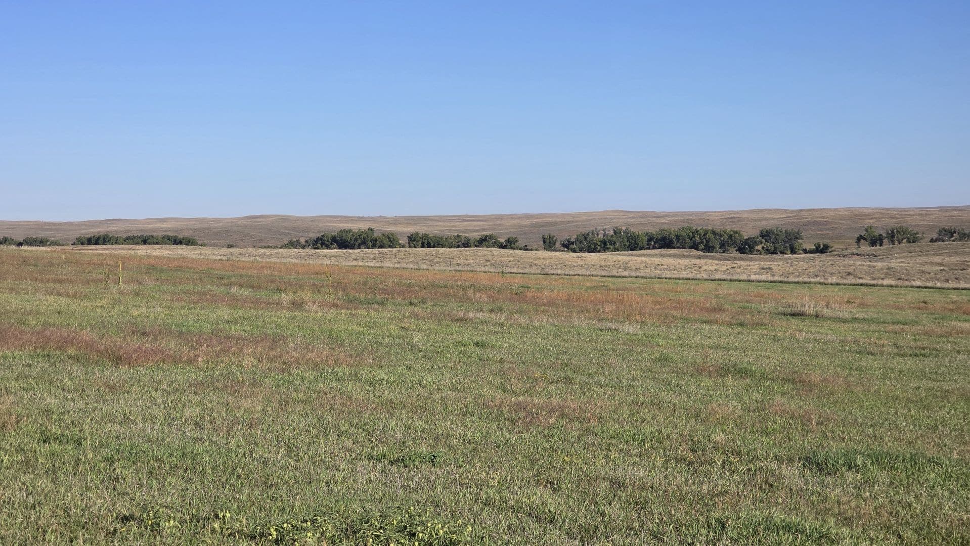
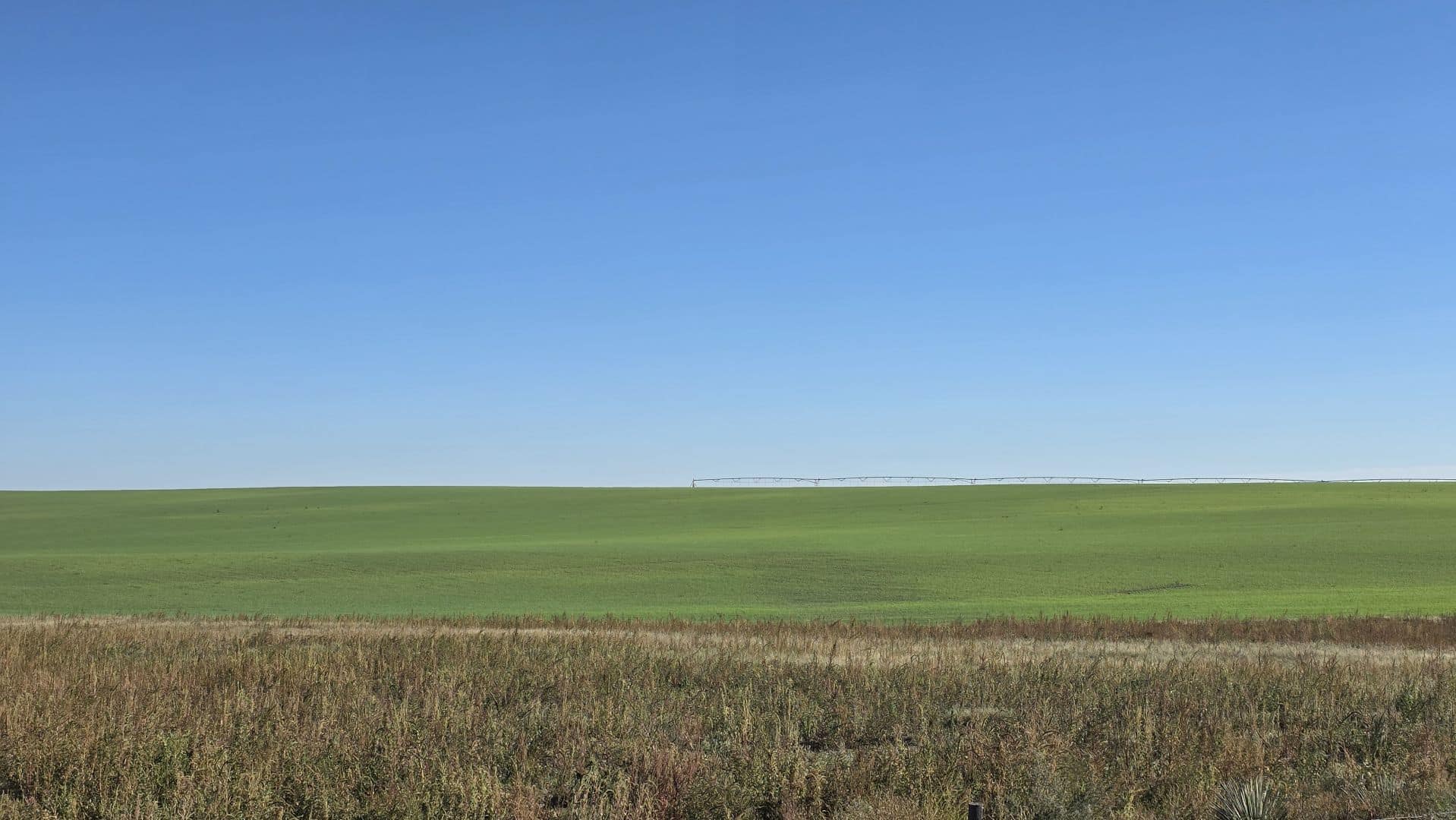
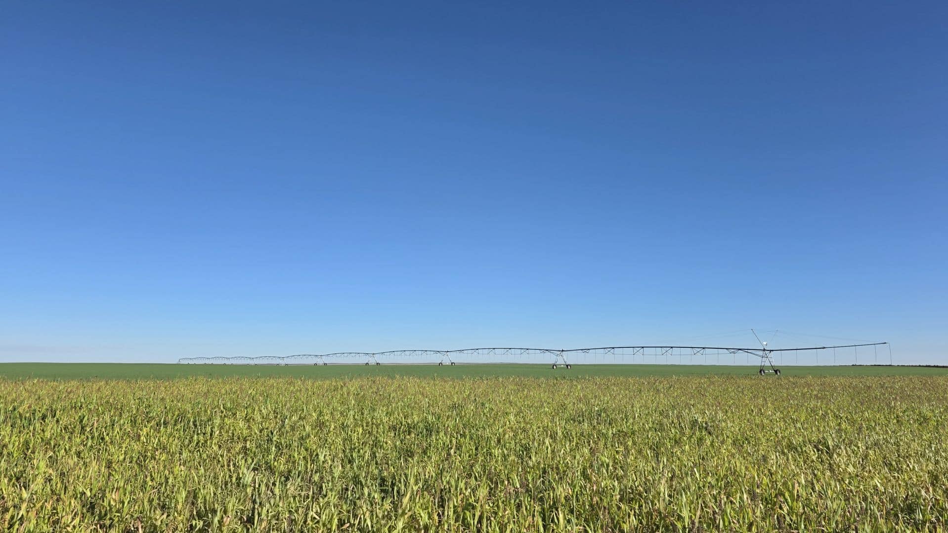
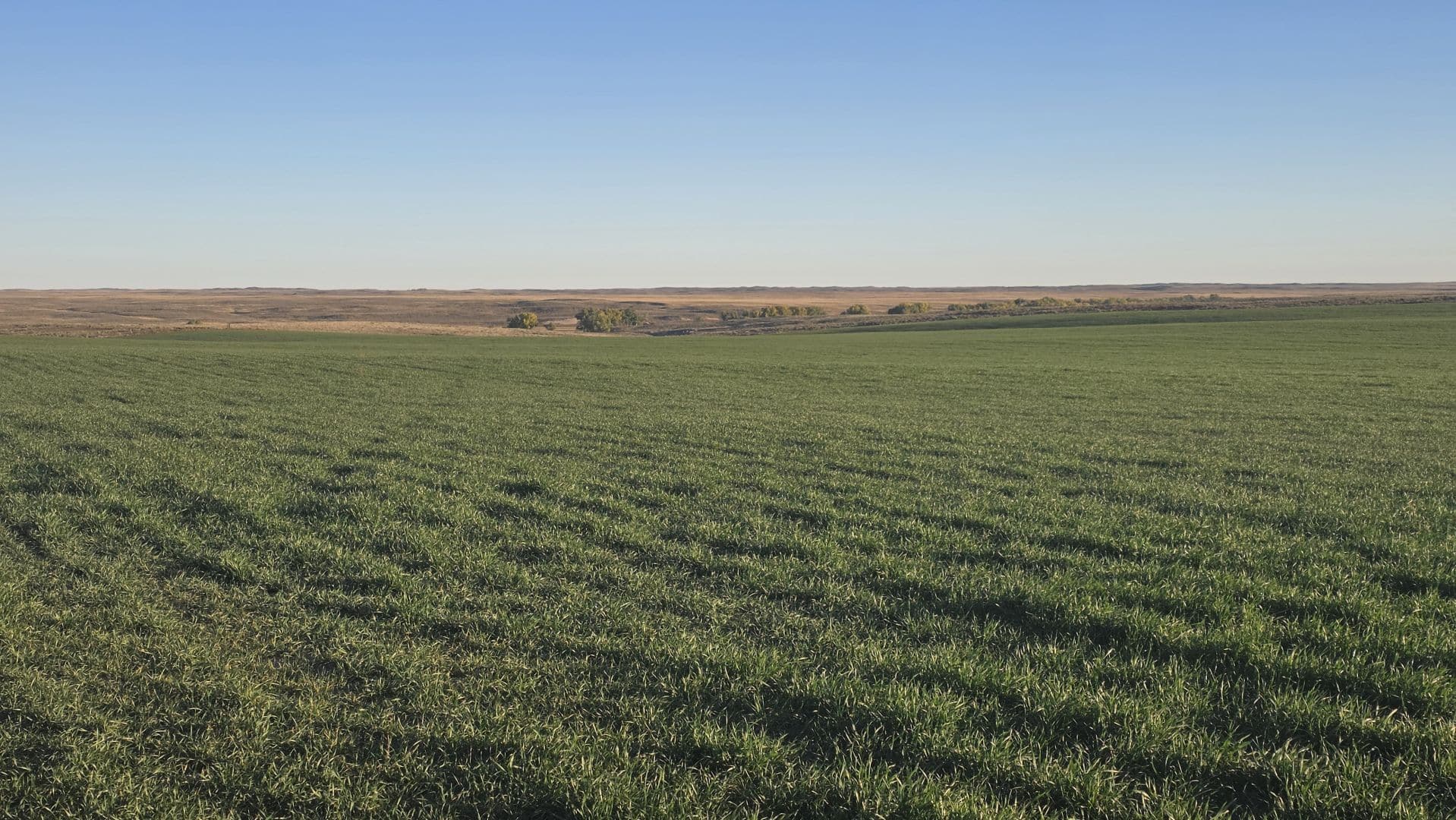
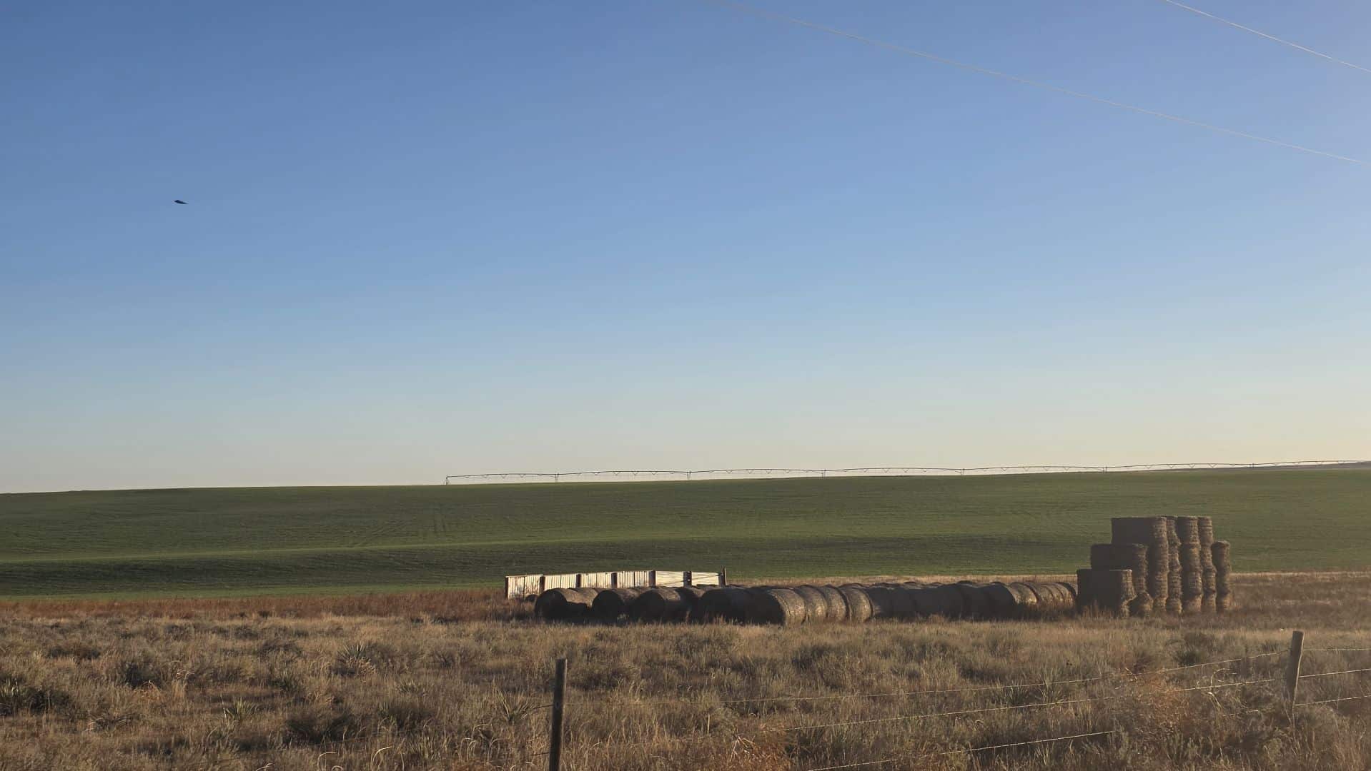
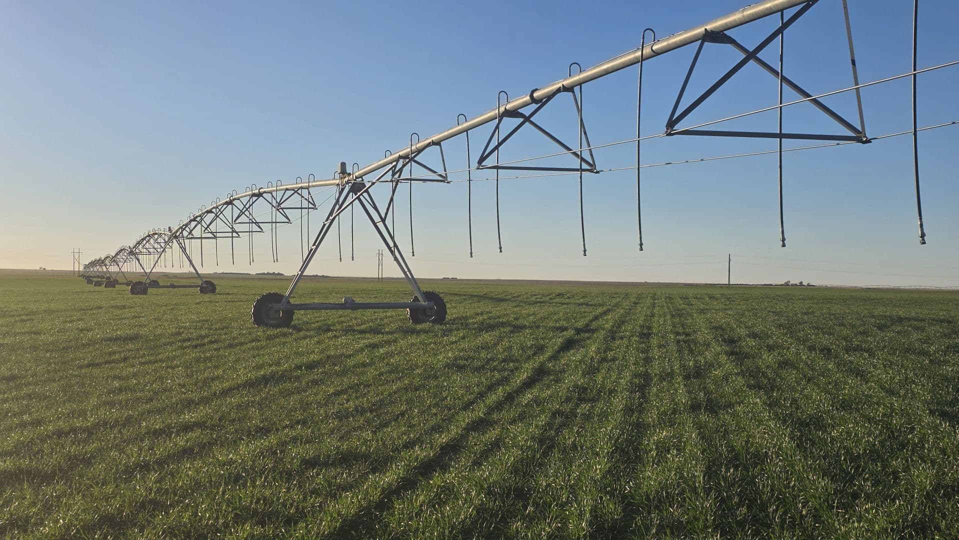
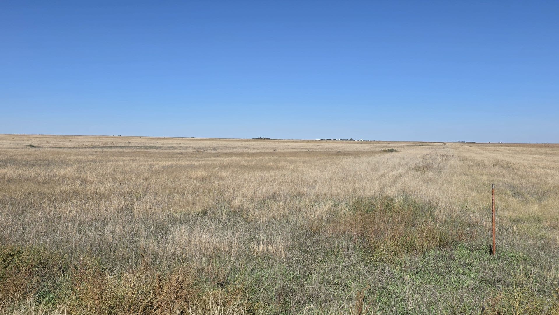
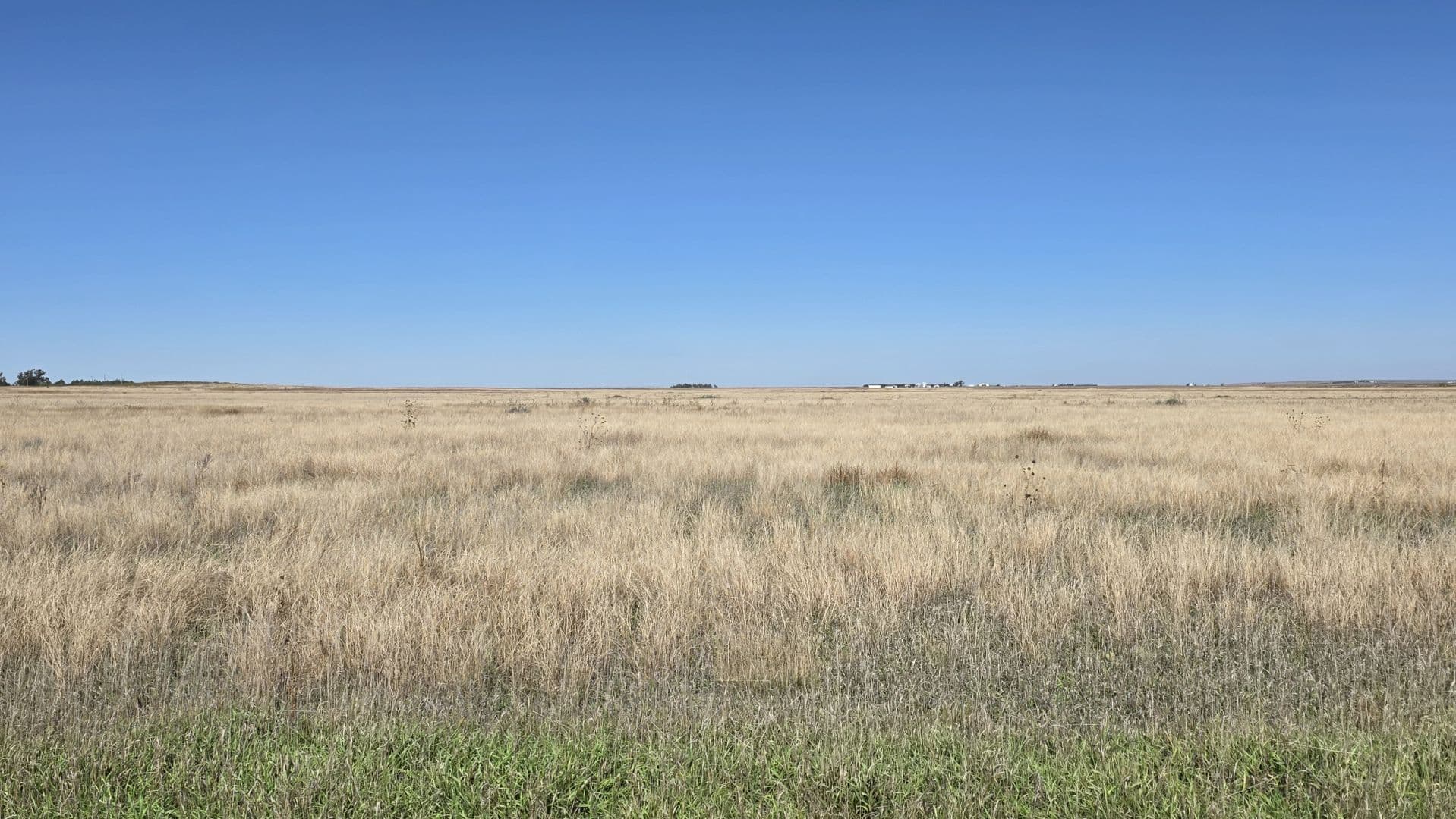
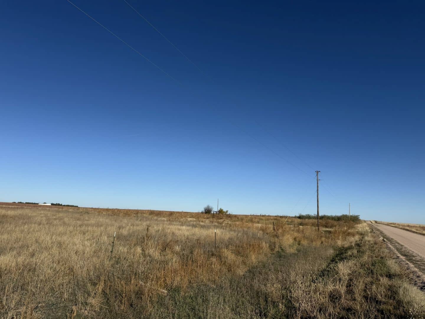
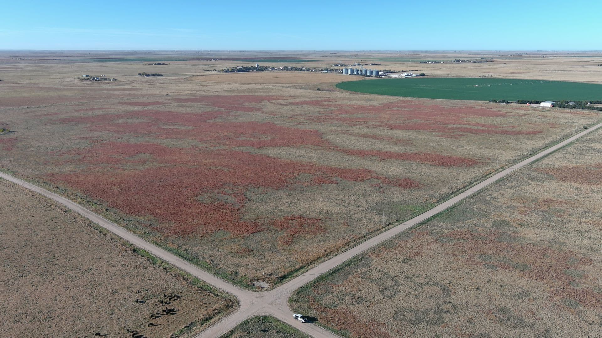
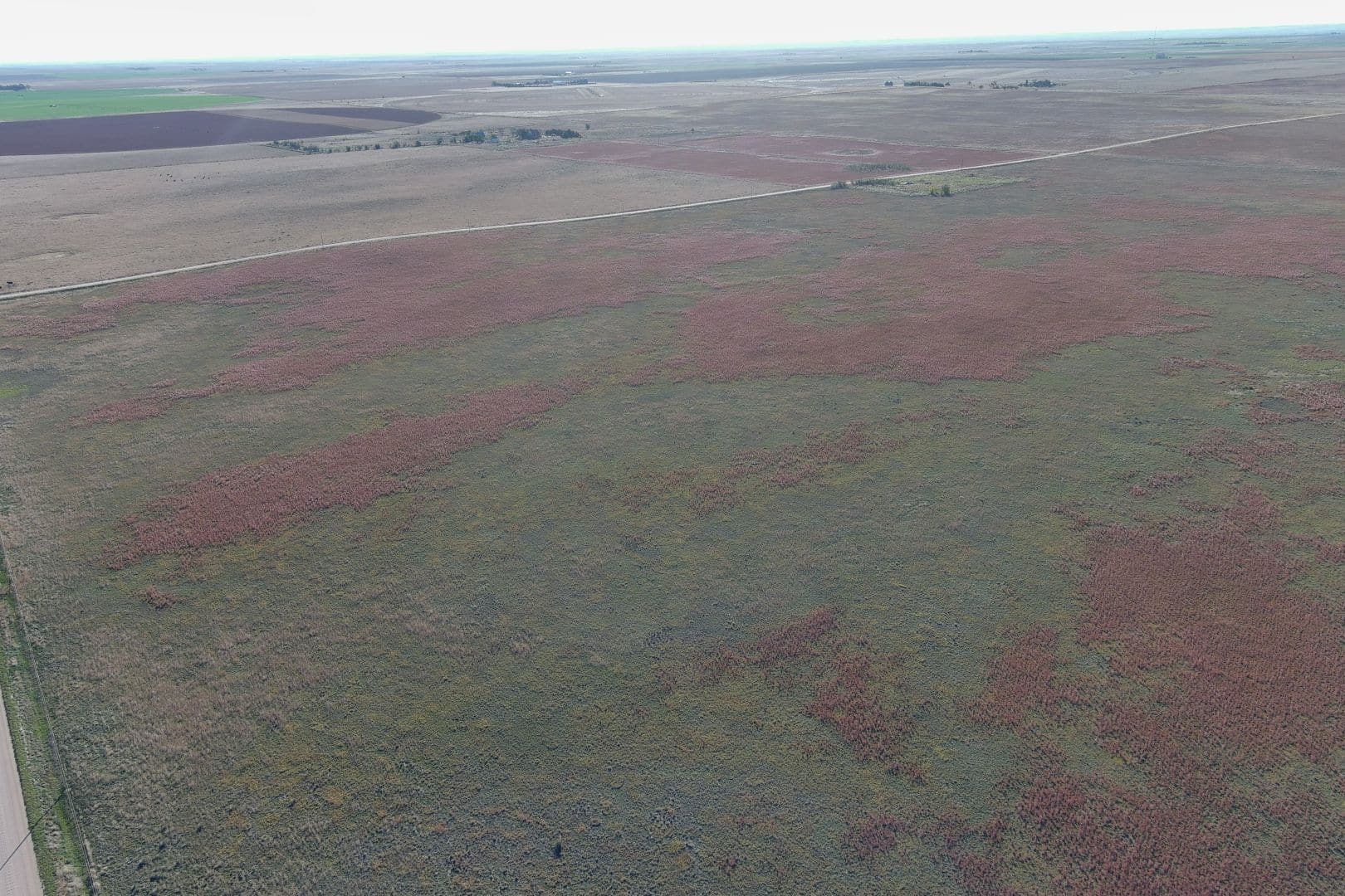
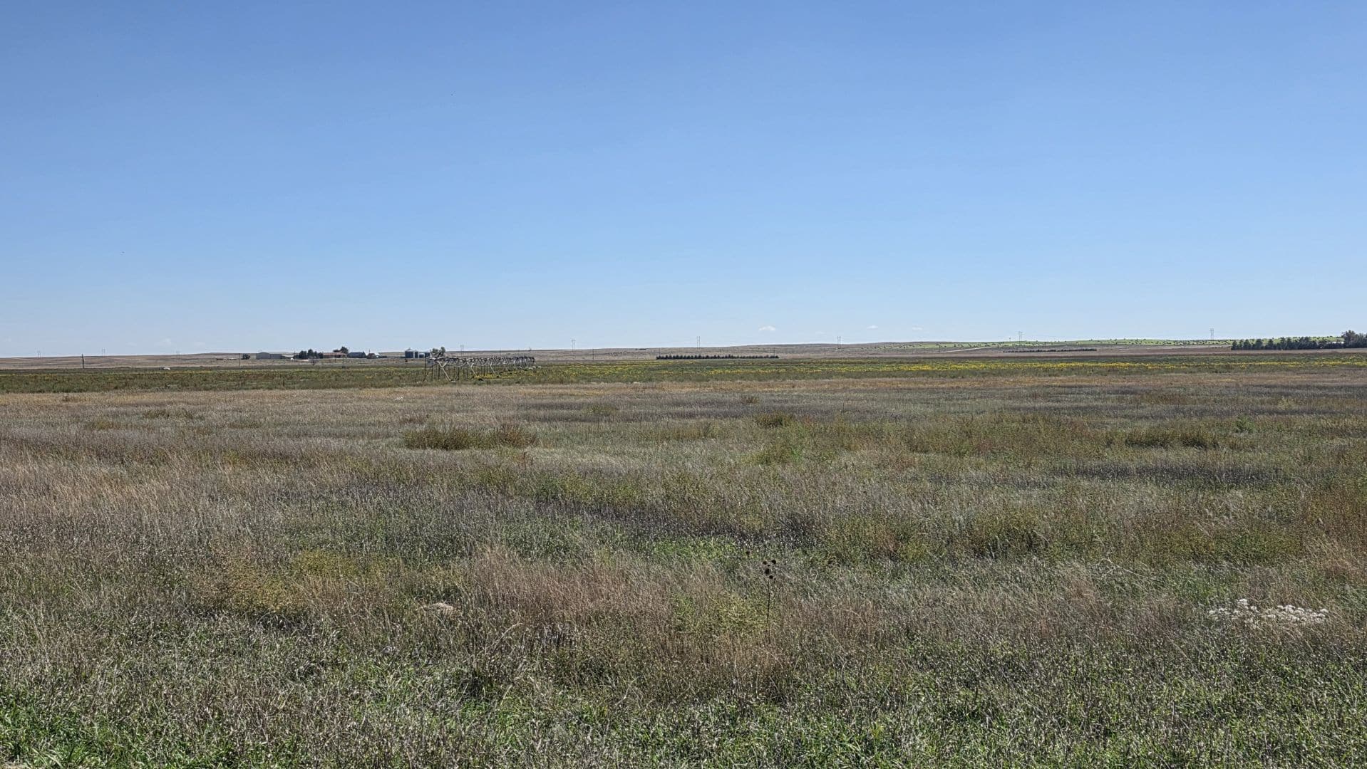
Don’t miss your chance to own all or part of 2,387± total acres of productive Colorado farmland, selling at live public auction. Located near Kirk and Joes in southern Yuma County, this property offers easy access from Highways 36 and 59 and boasts a proven production history, dependable groundwater, and multiple income streams. Whether you’re expanding your operation or looking for a solid ag investment, this is prime farmland in one of Colorado’s most desirable agricultural regions. All owned mineral rights will transfer to the Buyer(s), and with potential for wind development, this property offers income today and opportunity for tomorrow.


Interactive Map - Click to View More
AUCTION PROCEDURE: The “LIMING TRUST LAND AUCTION” is a land auction with RESERVE. The property to be offered as a “MULTI PARCEL” Auction and will be offered in the sale order as stated within this Due Diligence Packet. Bidding competition will determine the highest aggregate bid(s). Seller reserves the right to accept or reject any and all bids. Seller agrees not to accept and negotiate any contracts to purchase prior to auction date. Bids will be taken for total purchase price not price per acre.
TERMS: Upon the conclusion of the auction, the highest bidder(s) will sign Brokerage Disclosure and will enter into and sign a Contract to Buy and Sell Real Estate (Land) for the amount of the bid. Required earnest money deposit is 15% of the total purchase price which is due upon the signing of the contract(s) and to be deposited with Reck Agri Realty & Auction. Earnest money deposit will be transferred to Yuma County Abstract Company prior to closing and applied toward the total purchase price. Purchase contract will not be contingent upon financing. Terms and conditions in this Due Diligence Packet and oral announcements shall be incorporated and made a part of the contract. Sample contract is available herein.
CLOSING: Buyer(s) shall pay in good funds, the balance of purchase price plus their respective closing costs, and sign and complete all customary or required documents at closing. Buyer(s) can elect to close on or before December 30, 2025 or January 16, 2026. Closing to be conducted by Yuma County Abstract and the closing service fee to be split 50-50 between Seller and Buyer(s).
TITLE: Seller to pass title by Trustee’s Deed free and clear of all liens, encumbrances, special assessments levied or assessed, and subject to all easements and restrictions or covenants now of record. Title commitments are available for review herein and title commitment and exceptions will be incorporated and made a part of the Contract to Buy and Sell Real Estate (Land). Title Insurance to be used as evidence of marketable title and cost of the premium to be split 50-50 between Seller and Buyer(s), except Buyer(s) to pay for cost of loan title insurance policy, if applicable. The
Buyer(s) to receive a TBD title commitment herein, an updated title commitment with Buyer(s) name, lender, purchase price, and all supplements and additions thereto after auction, and an owner’s title insurance policy in an amount equal to the Purchase Price after closing.
Property to be sold subject to existing roads and highways; established easements and rights-of-way; prior mineral reservations; and other matters affected by title documents shown within the title commitment; and zoning, building, subdivision, and other restrictions and regulations of record.
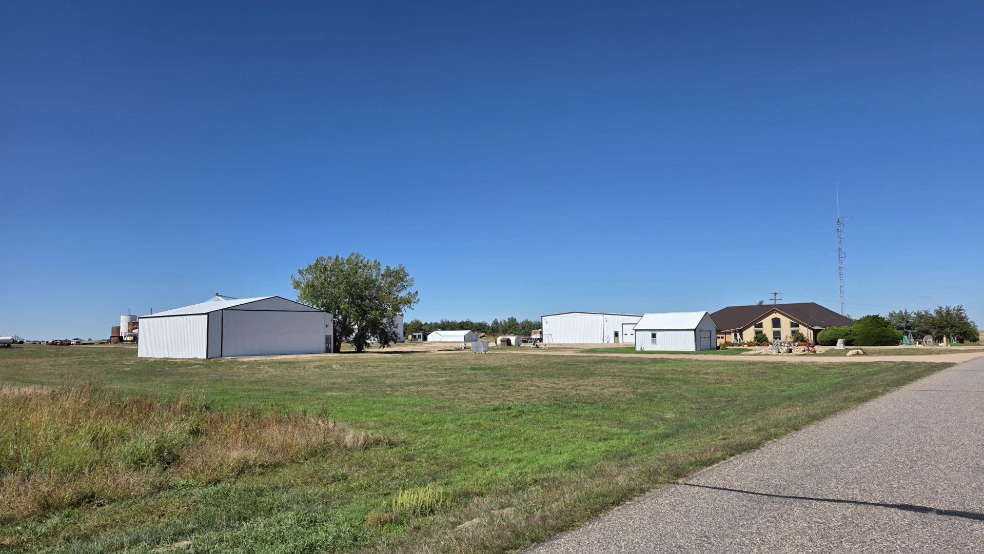
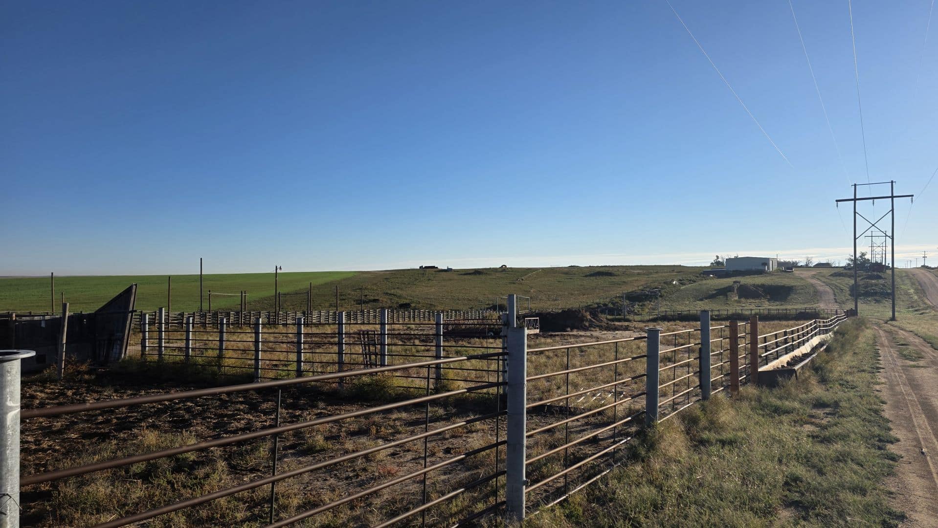
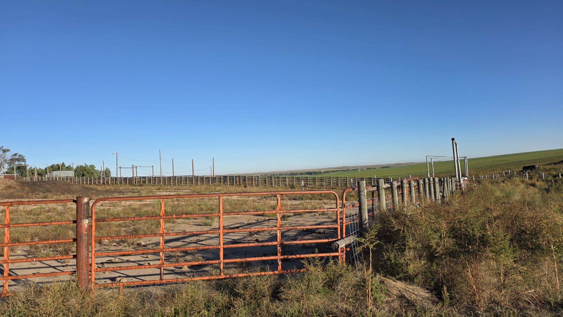
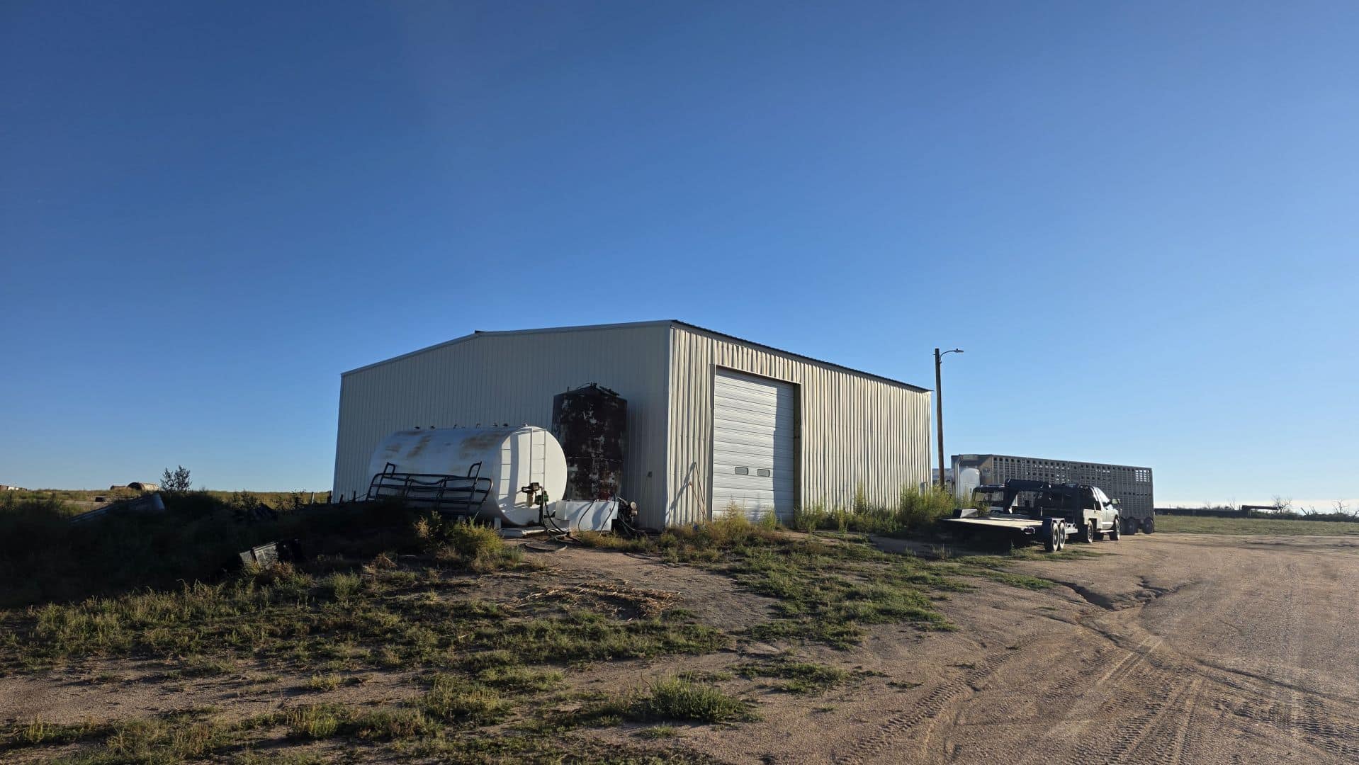
PERSONAL PROPERTY: Personal property included with the sale will be outlined on each Parcel Description. Conveyance of said property will be via Bill of Sale, at closing.
POSSESSION: See Parcel Descriptions herein.
LEASE: Seller attests there is no farm lease (verbal or written) and/or any prior lease has been appropriately terminated. Should a tenant claim interest in the property, Seller to stand all costs associated with said termination.
WIND EASEMENTS: Buyer(s) to receive all future payments associated with wind on easements each tract. Next payments are due to be paid around May-June 2026.
PROPERTY CONDITION: Prospective buyers should verify all information contained herein, are urged to fully inspect the property, its condition, and to rely on their own conclusions. The property is being sold AS IS-WHERE IS, without warranty, representation or recourse to Seller.
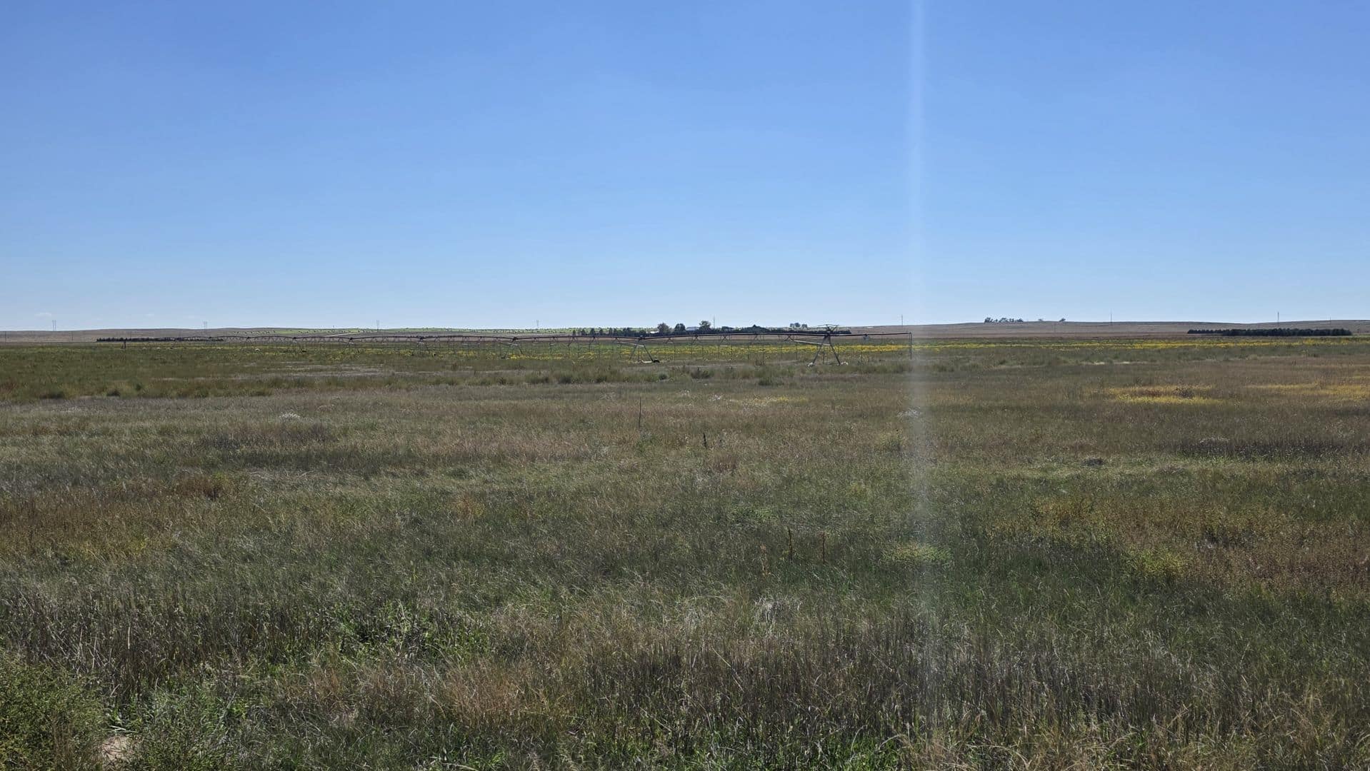
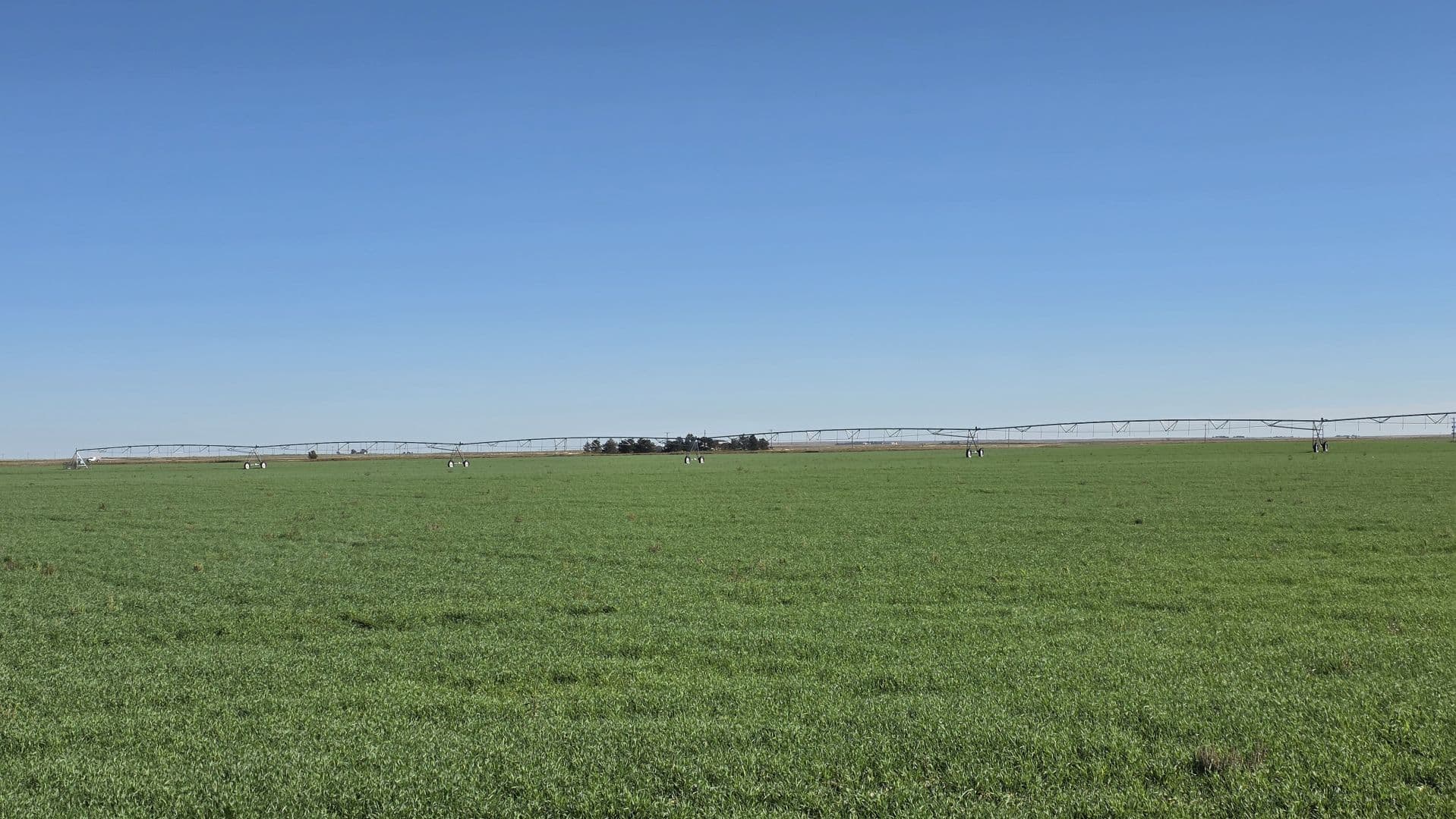
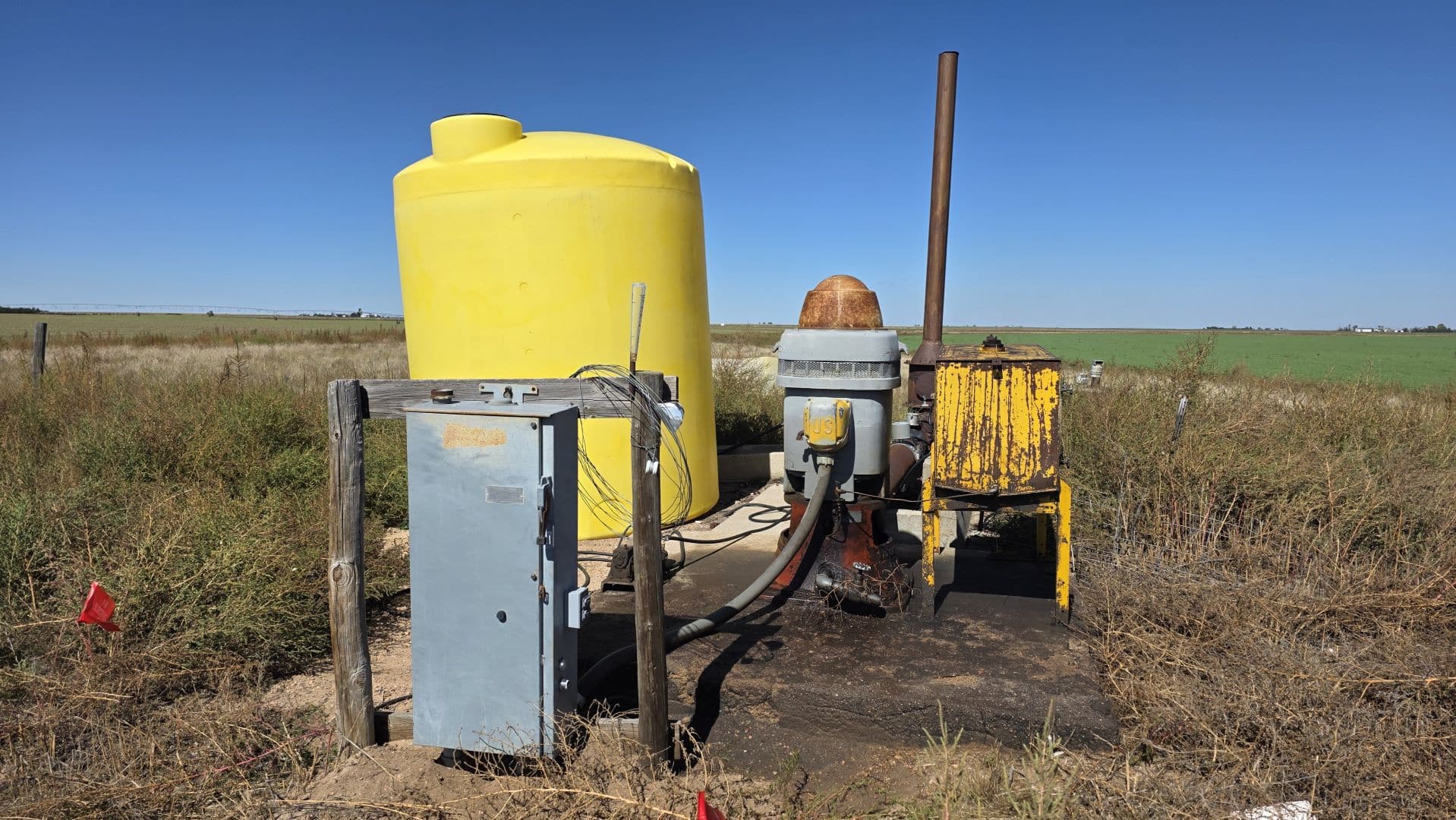
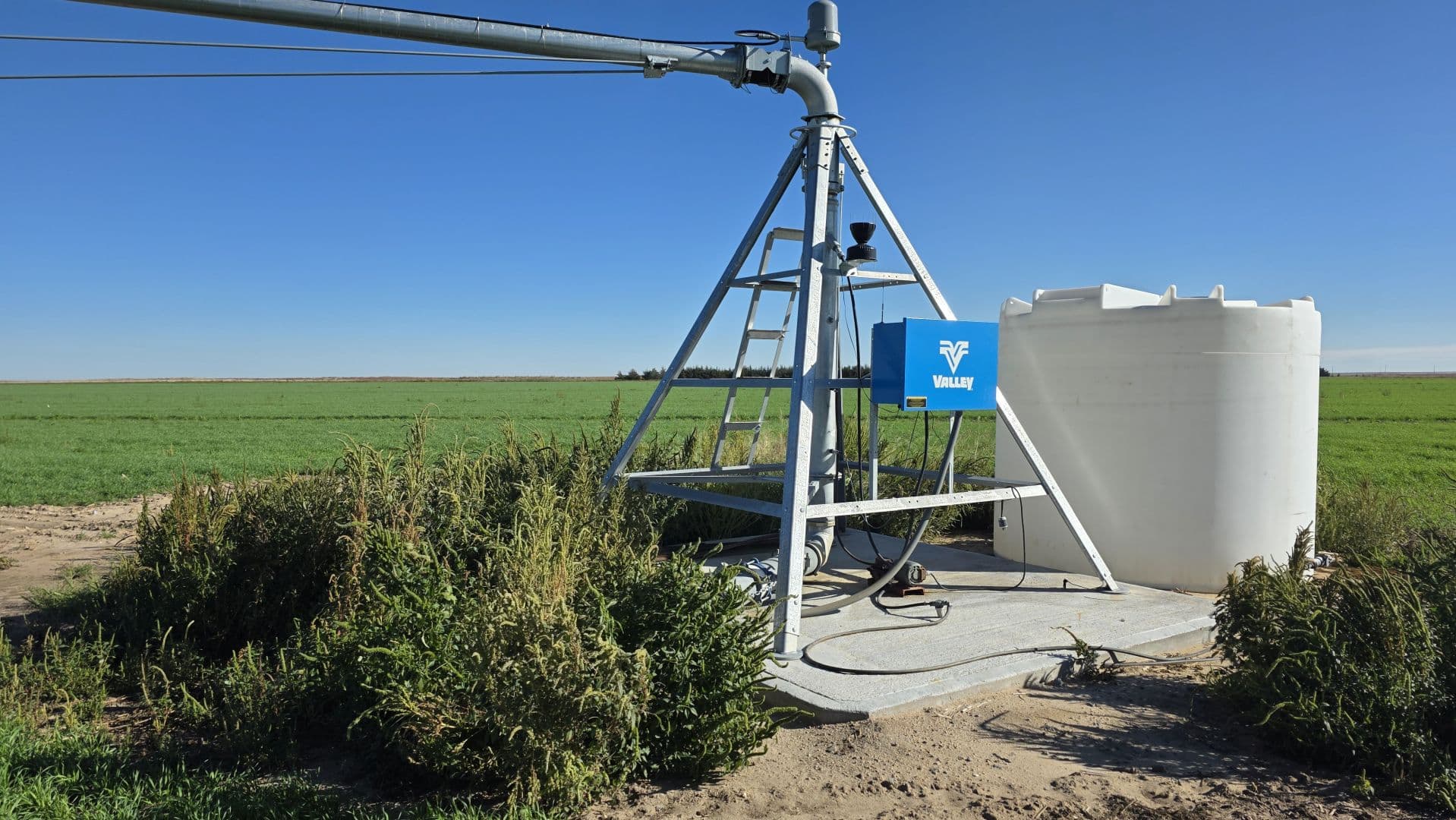
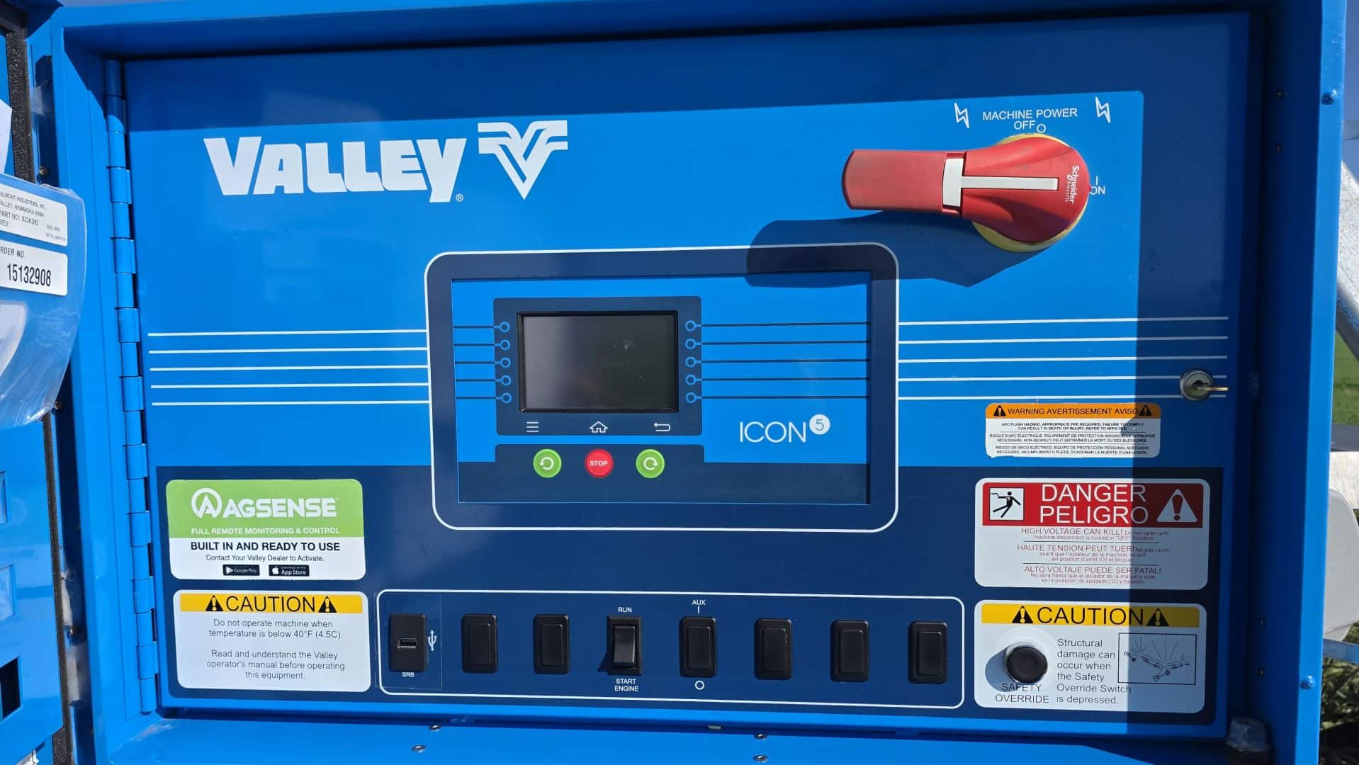
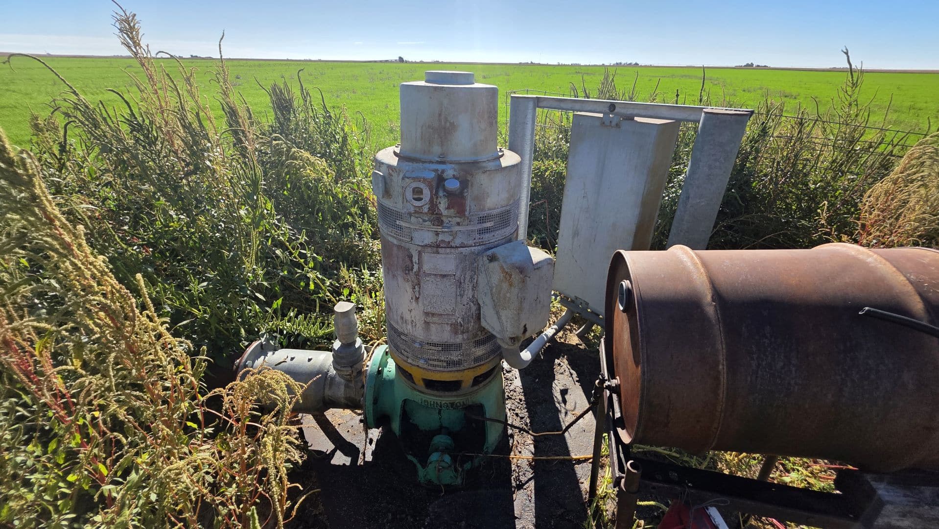
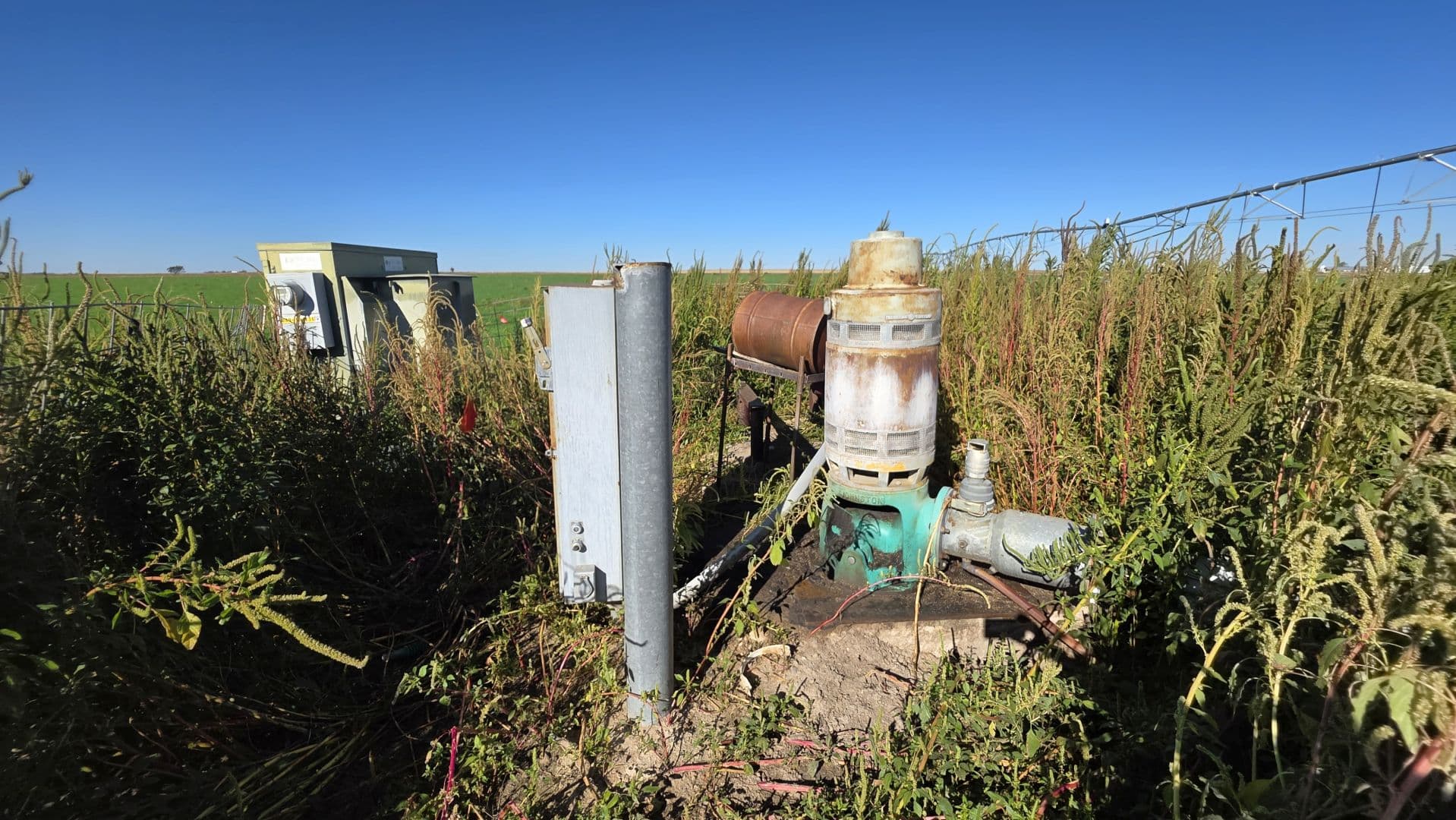
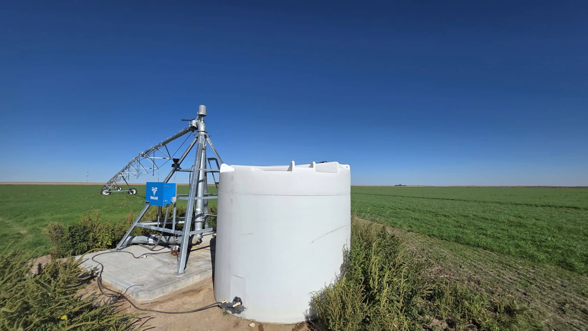
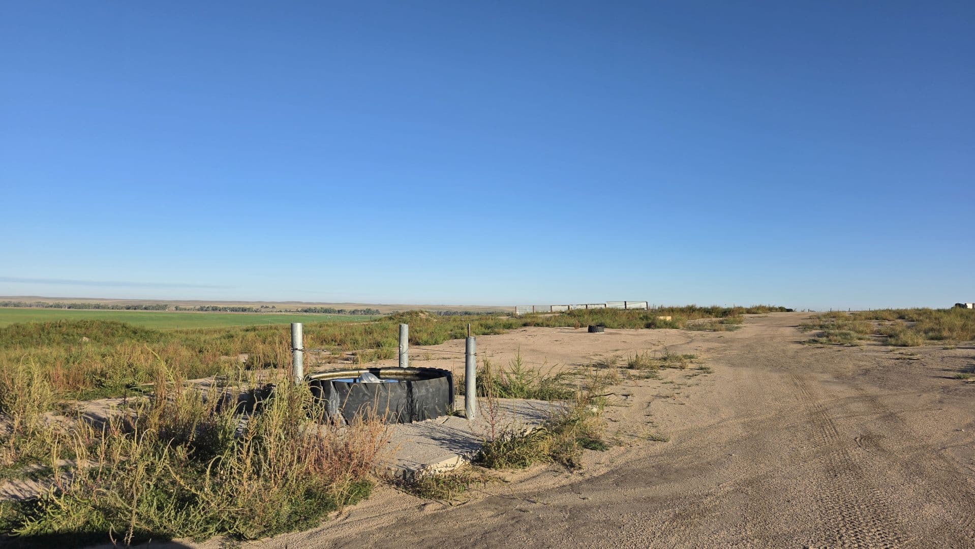
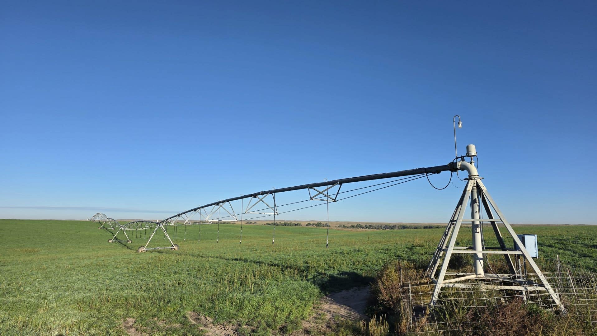
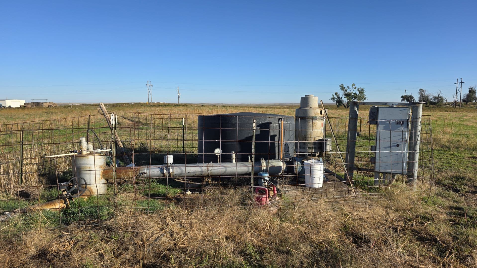
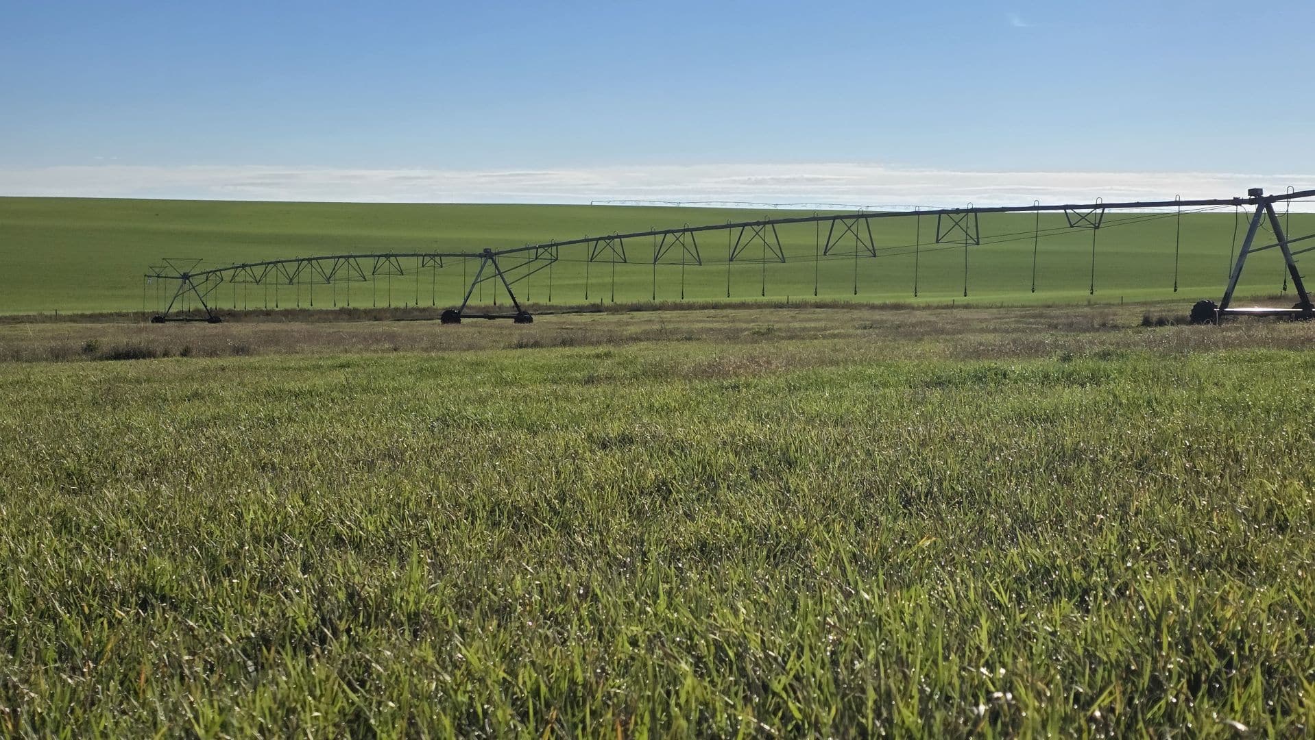
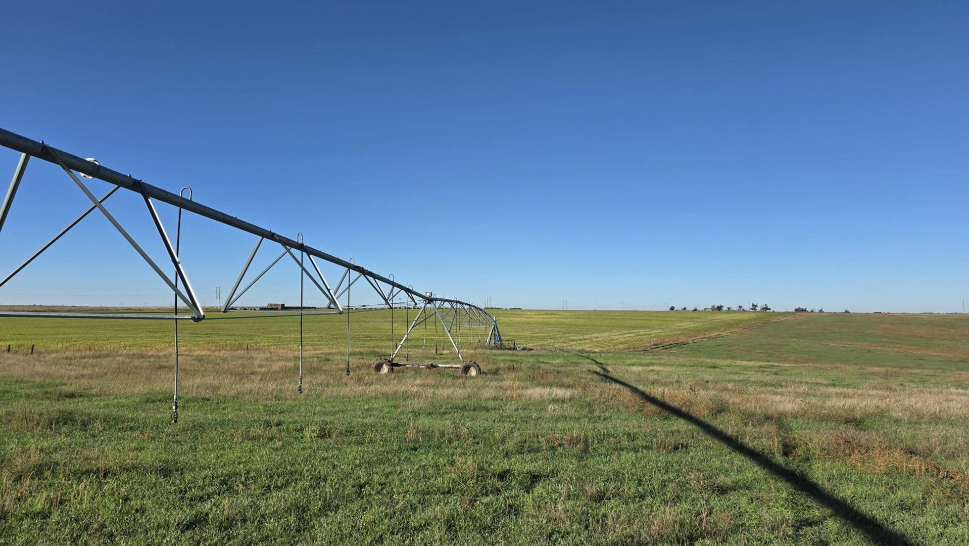
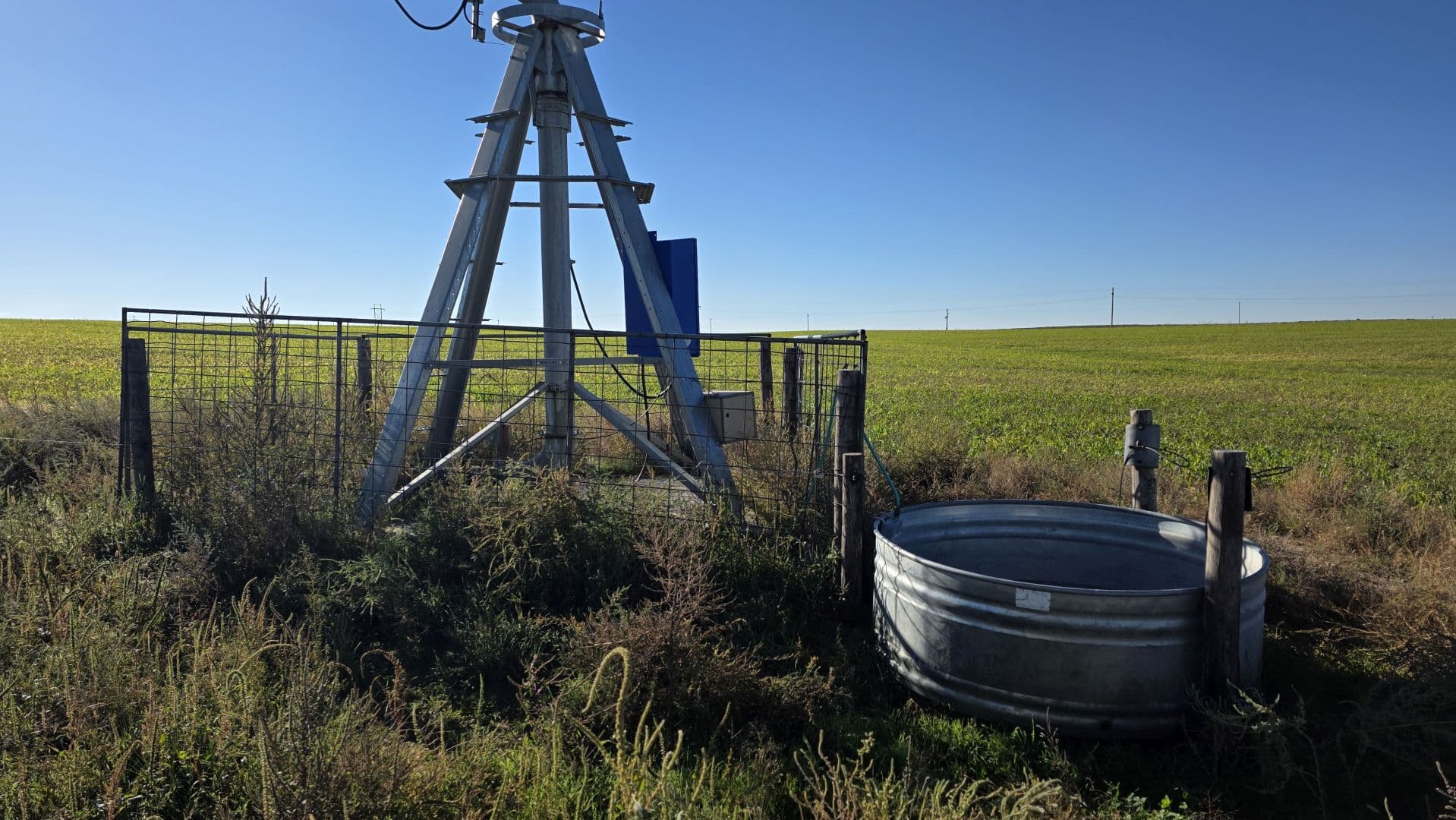
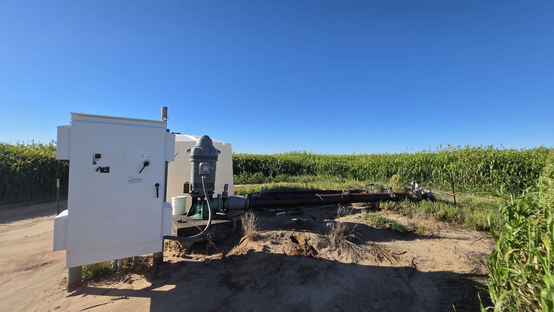
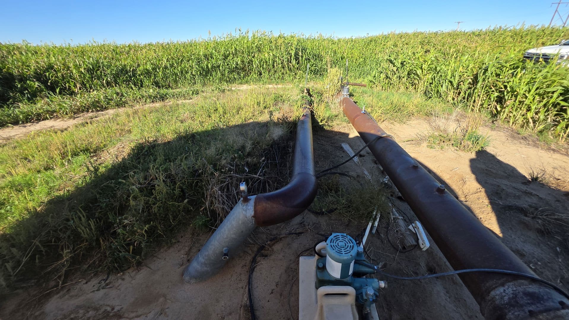
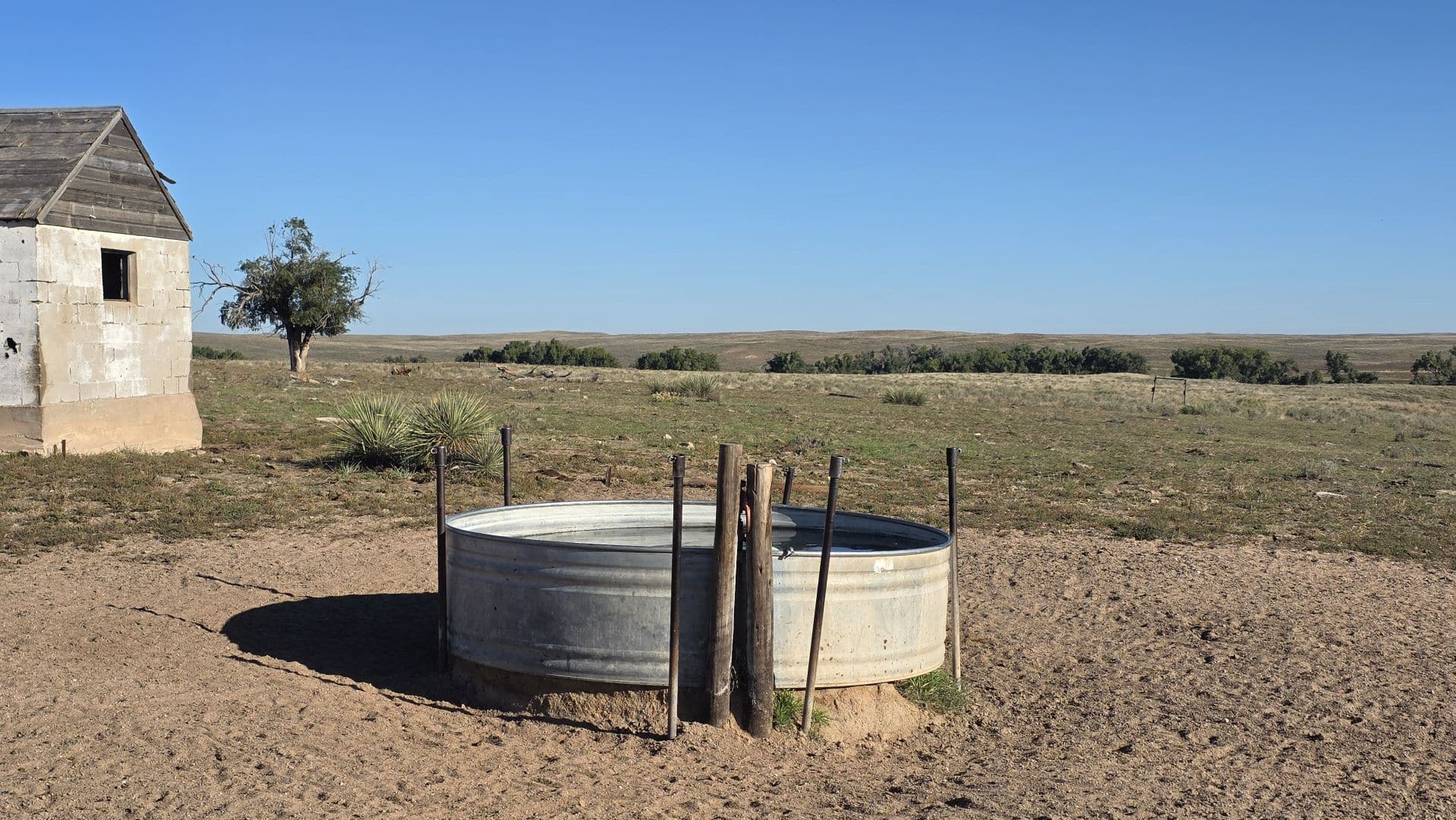
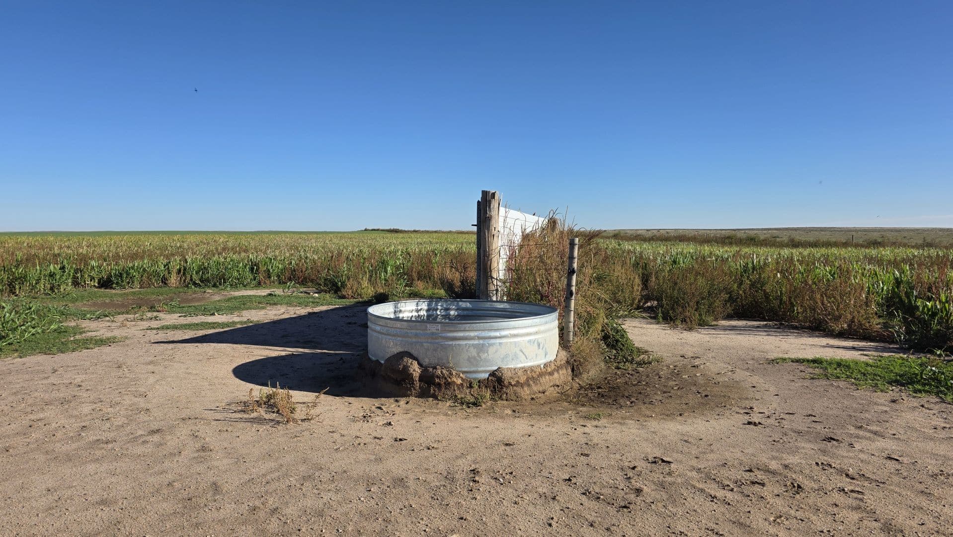
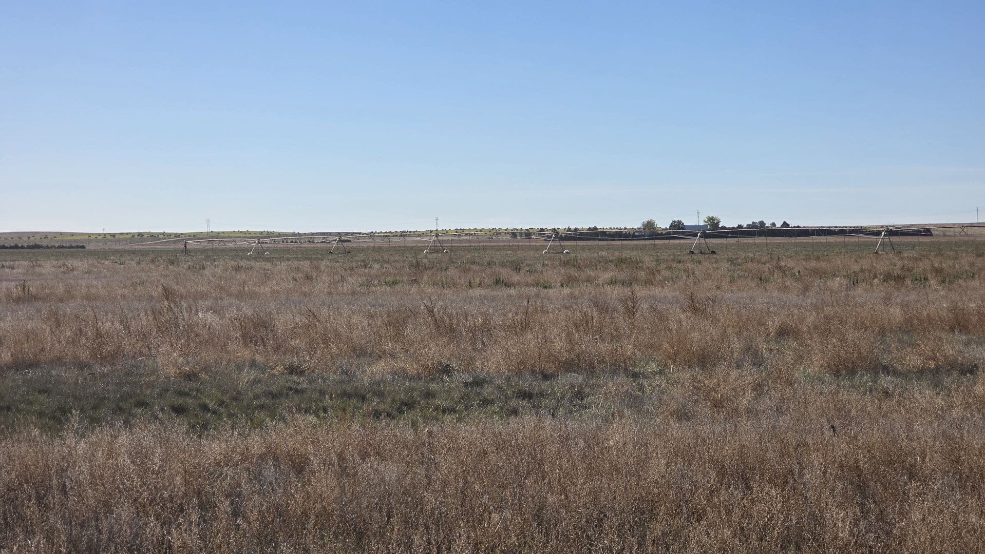
WATER RIGHTS & EQUIPMENT: Seller to convey all Seller’s water rights, water wells, well permits, and equipment appurtenant to the property whether for irrigation, domestic or livestock use. The water rights are subject to the rules, regulations, and limitations of the Colorado Department of Water Resources, the Republican River Water Conservation District (RRWCD) and the local groundwater district. Water rights are being sold AS IS-WHERE IS without warranty or guarantee of any water right matters, pumping rates/adequacy of livestock/domestic/irrigation wells and condition of all irrigation equipment.
GROWING CROPS: See Parcel Descriptions herein.
CRP/CREP CONTRACTS: Seller to convey all right, title, and interest to the existing CRP/CREP contract(s) to the Buyer(s) as successor in interest. Seller to convey 100% of the October 2026 CRP/CREP payment(s). Buyer(s) assumes responsibility of the maintenance of the CRP/CREP acres, the obligations of the contract(s), and agree to enter into new contract(s) within 60 days after the closing. Buyer(s) assumes responsibility of the costs and penalties if Buyer(s) chooses to terminate the existing contract(s).
FSA DETERMINATION: FSA base acres and yields to pass to Buyer(s) as designated herein.
Buyer(s) and Seller, at closing, to sign a Memorandum of Understanding (MOU) stating the base acres and yields.
REAL ESTATE TAXES: 2025 real estate taxes and irrigation assessments (if any) due in 2026, shall be paid by Seller, at closing.
LEGAL DESCRIPTION: Legal descriptions are subject to existing fence/field boundaries or land-use trades, if any. If the property sells in parcels and/or combos and a survey is required to create a metes and bounds legal description, Seller to provide and pay for said survey. Seller & Buyer(s) agree that closing may be extended up to 30 days if necessary to complete said survey.
MINERALS: Seller to convey all OWNED mineral rights associated with each Parcel(s) to Buyer(s).
NOXIOUS WEEDS & CHEMICALS: There may be areas infested by noxious weeds, (i.e. rye, bindweed, canadian thistle, goat/Johnson grass, etc). The location of and the density of noxious weeds is unknown at this time.
ACREAGES: All stated acreages in the Color Brochure, herein, and visual presentation at the auction are approximate and are obtained from the FSA office and/or county tax records. Both sources may indicate different acreages and no warranty is expressed or implied as to exact acreages of property. All bids are for the total parcel without regard to exact. There will be no adjustment in purchase price if acreage is different than what is stated herein and/or stated at the auction.
MULTIPLE PARTY BID: If several parties go together and collectively bid on parcel(s) and the Multiple Party Bid is the highest bid, at the conclusion of the auction each party within the Multiple Party Bid shall identify and agree to sign separate contract(s), pay for their respective separate parcel(s) at closing, and pay for a metes & bounds survey and additional title insurance premium to create the legal description for their respective separate parcel. The collective purchase prices for the separate parcels shall equal the total Multiple Party Bid.
BIDDER REQUIREMENTS: To register to bid, Buyer(s), prior to the auction, must review and accept this Due Diligence Packet with the full auction terms and conditions, property descriptions, pertinent information, title commitments, and sample contracts. Bidding via cell phone, internet, and/or bidding on someone’s behalf, must be approved by Reck Agri Realty & Auction 24 hours prior to auction.
ANNOUNCEMENTS: The information contained herein has either been given to us by the owner of the property or obtained from sources that we deem reliable. We have no reason to doubt its accuracy, but we do not guarantee it. Reck Agri Realty & Auction and the Seller assume no responsibility for the omissions, corrections, or withdrawals. The location maps are not intended as a survey and are for general location purposes only. Prospective Buyer(s) should verify all information contained herein. Reck Agri Realty & Auction and all other agents of Broker are or will be acting as a Transaction Broker. Announcements made by Reck Agri Realty & Auction, at the time of sale will take precedence over any previously printed material or other oral statements. Reck Agri Realty & Auction does not offer broker participation for this auction. Reck Agri Realty & Auction reserves the right to require bank references upon request and reserves the right to refuse bids from any bidder. Bidding increments are at the discretion of the Broker.
COPYRIGHT: Photographs, Videos, Color Brochure & Due Diligence Packet are property of Reck Agri Realty & Auction and cannot be reproduced without permission.
Announcements made by Reck Agri Realty & Auction at the time of the auction will take precedence over any previously printed material or other oral statements.
NOTICE TO PROSPECTIVE BUYER(S): The information contained herein has either been given to us by the owner of the property or obtained from sources that we deem reliable. We have no reason to doubt its accuracy, but we do not guarantee it. Reck Agri Realty & Auction and the Seller assumes no responsibility for the omissions, corrections, or withdrawals. The location and aerial maps are not intended as a survey and are for general location purposes only. The prospective Buyer(s) should verify all information contained herein. All prospective buyers are urged to fully inspect the property, its condition and to rely on their own conclusions. All equipment and improvements are to be sold AS IS-WHERE IS, without warranty, representation, or recourse to Seller.

