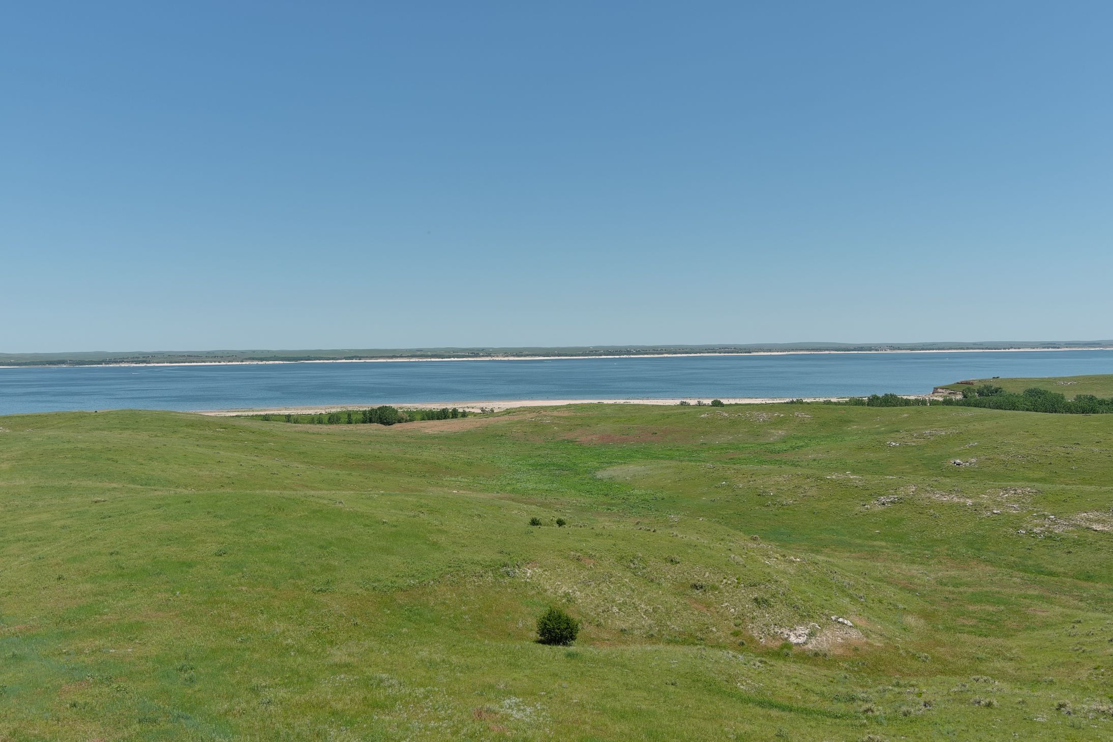
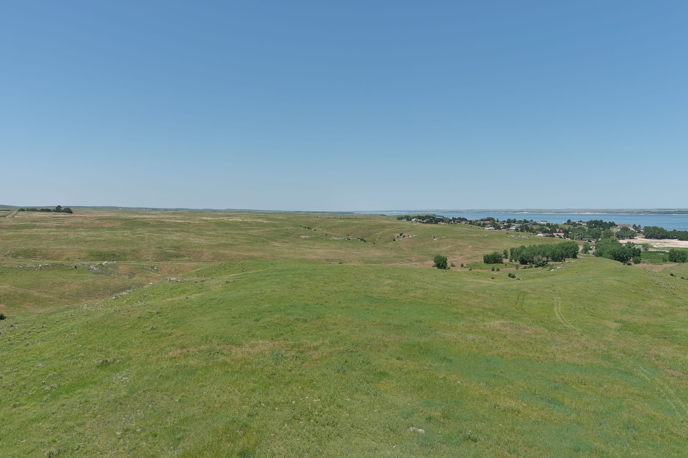
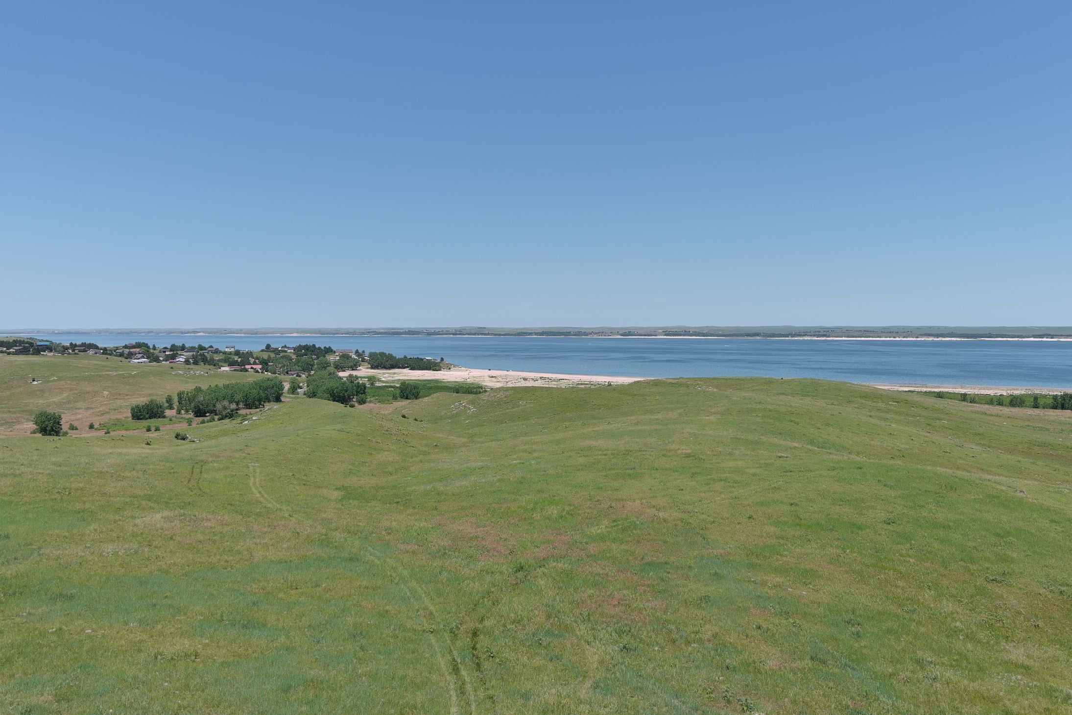
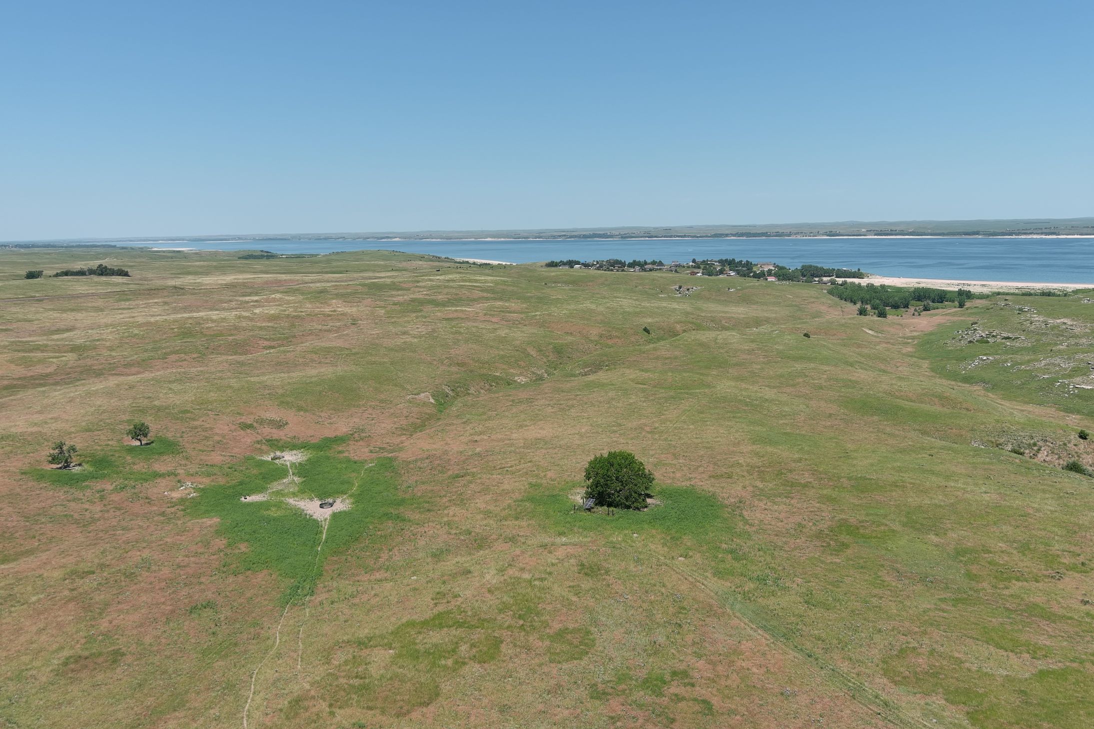
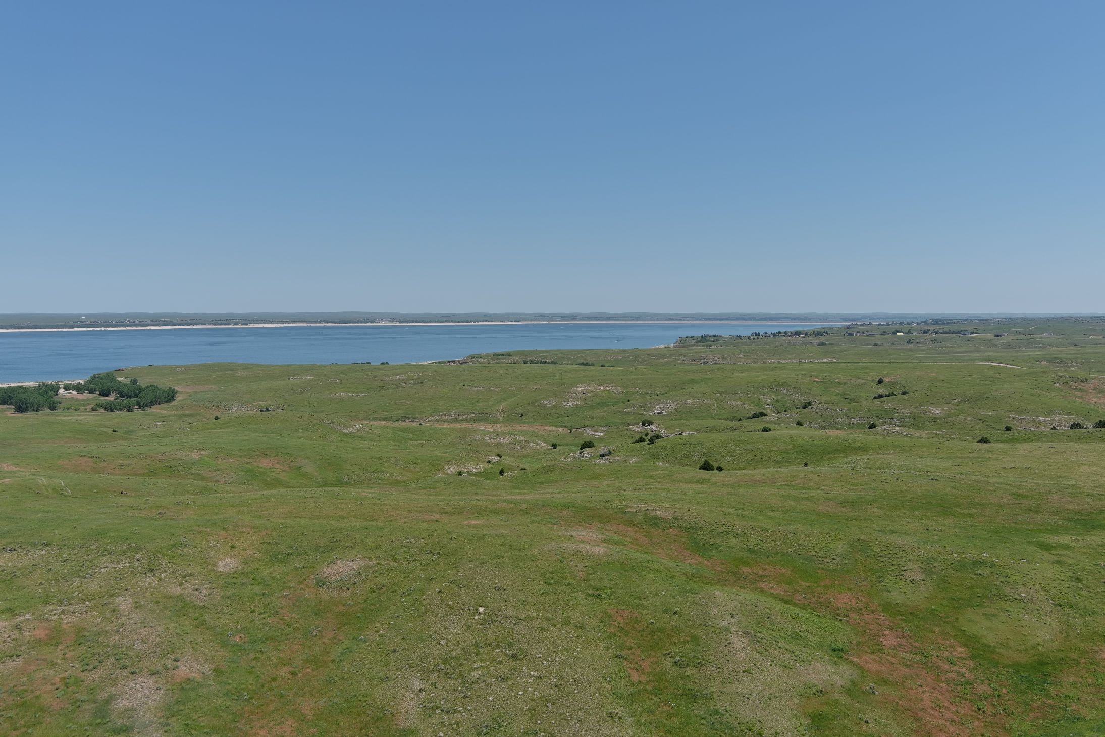
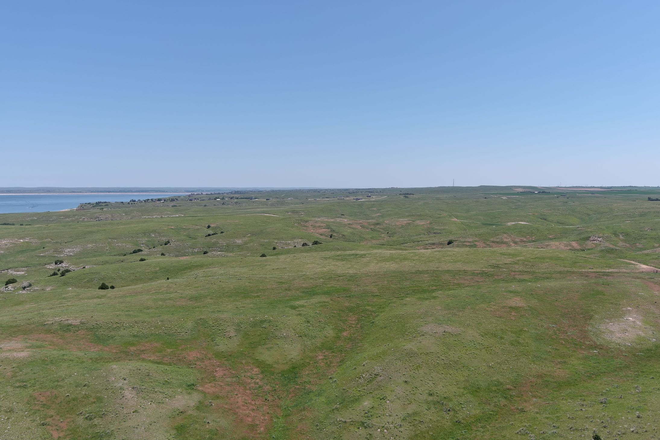
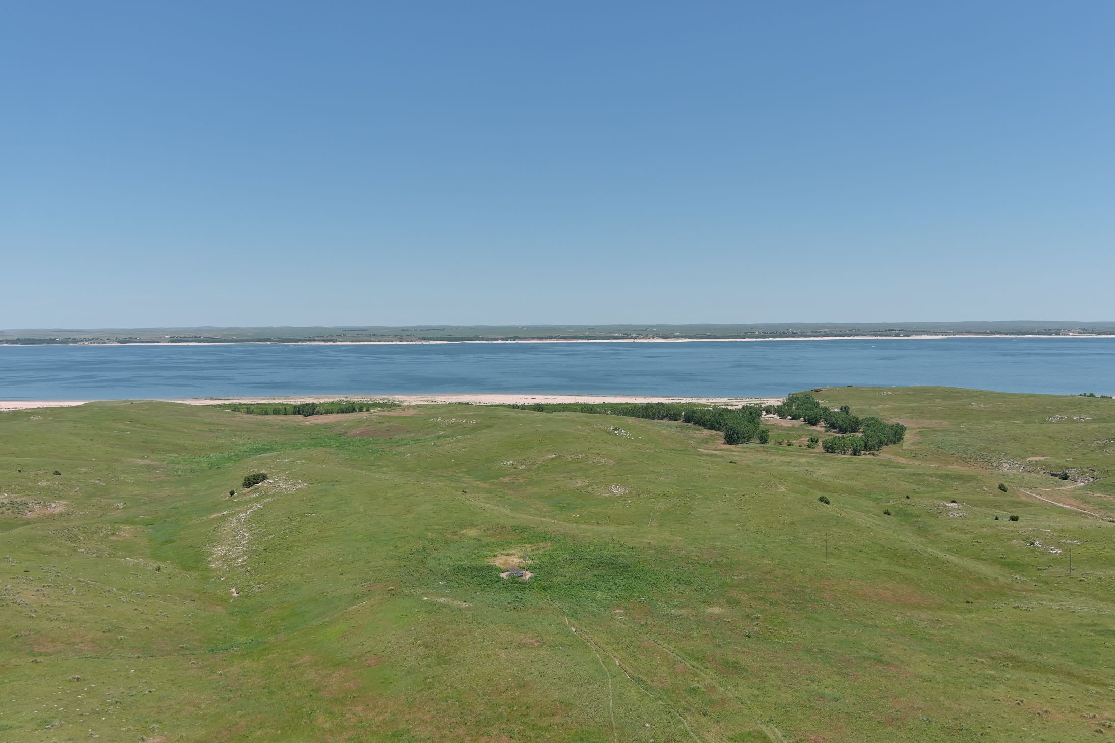
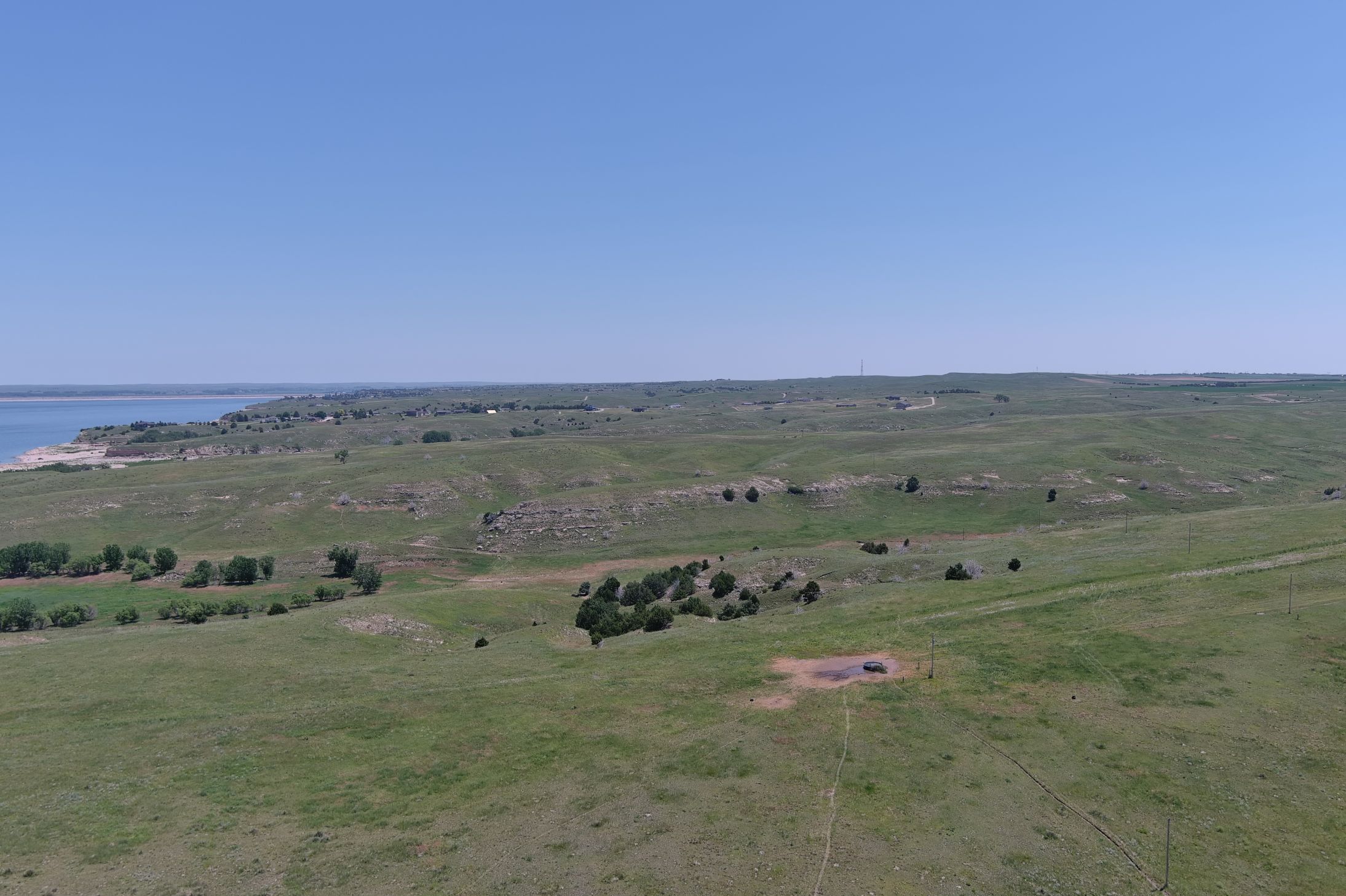
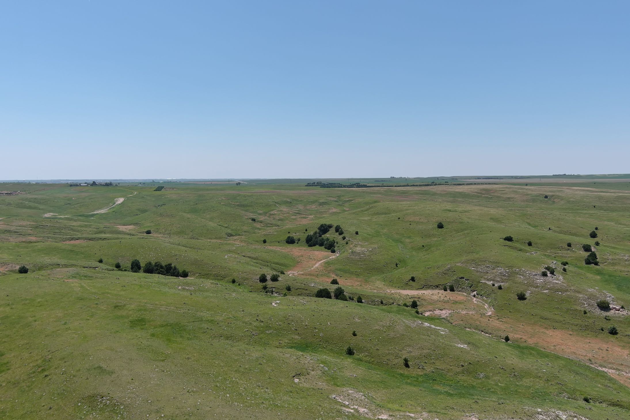
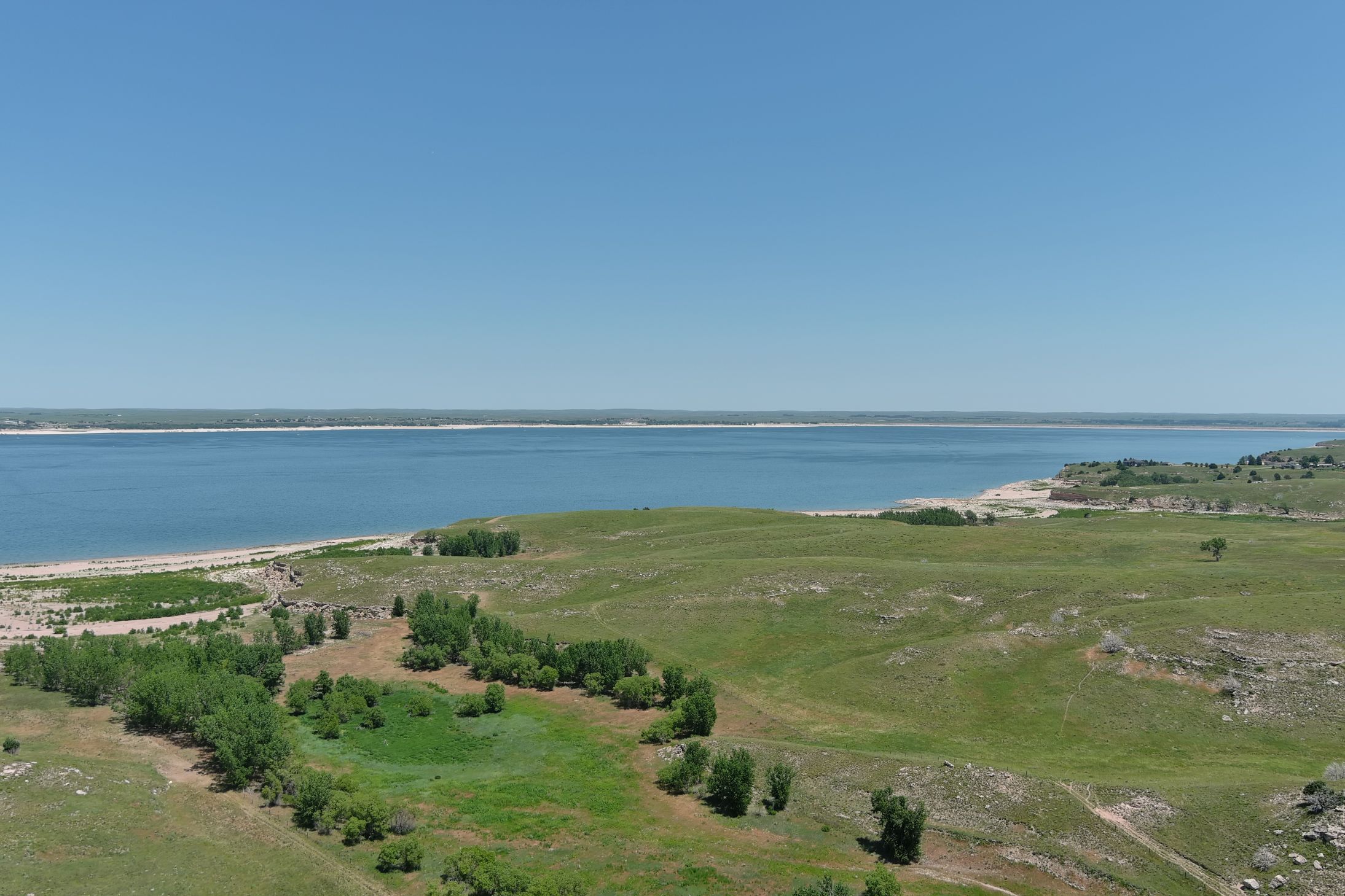
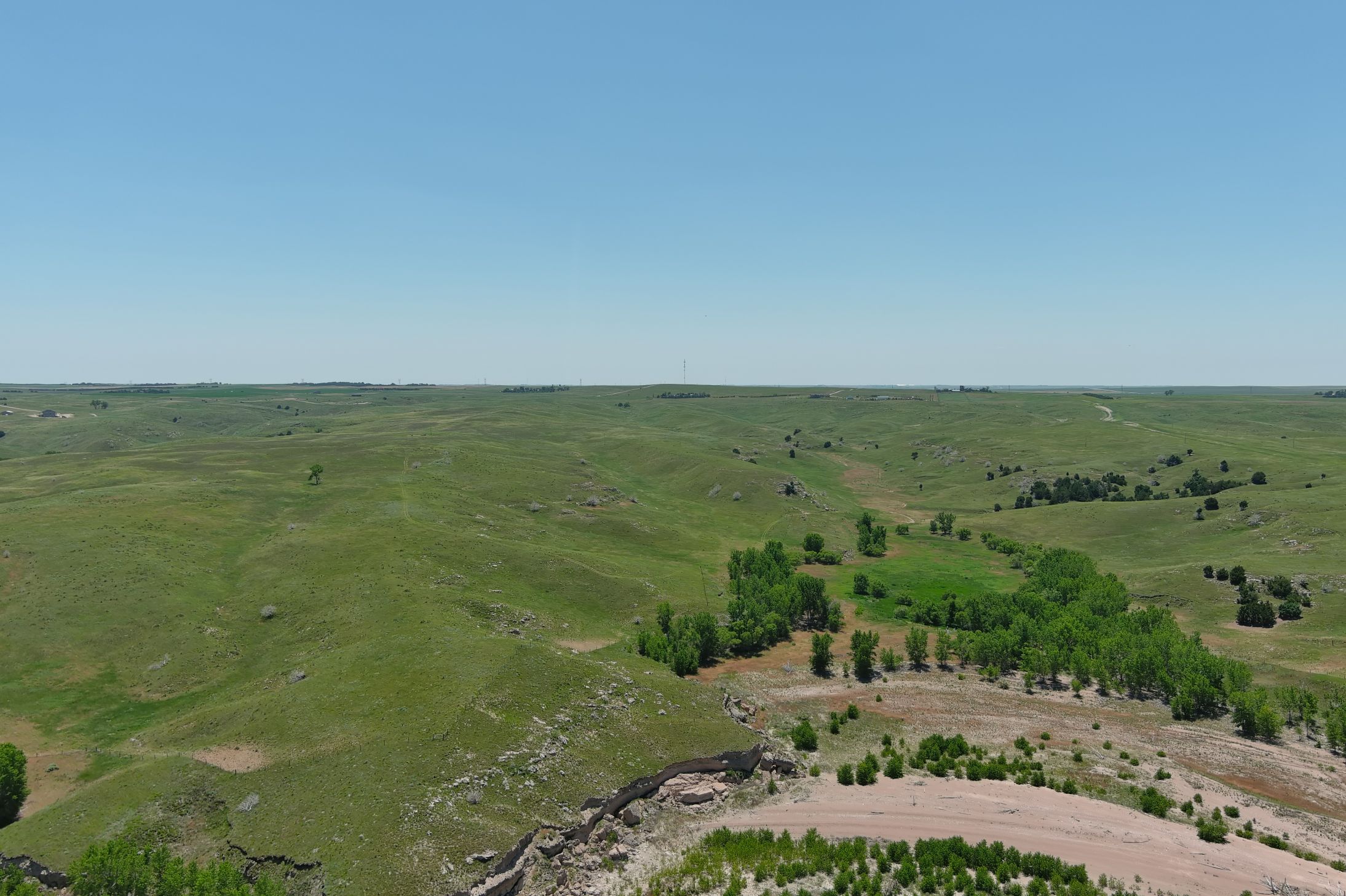
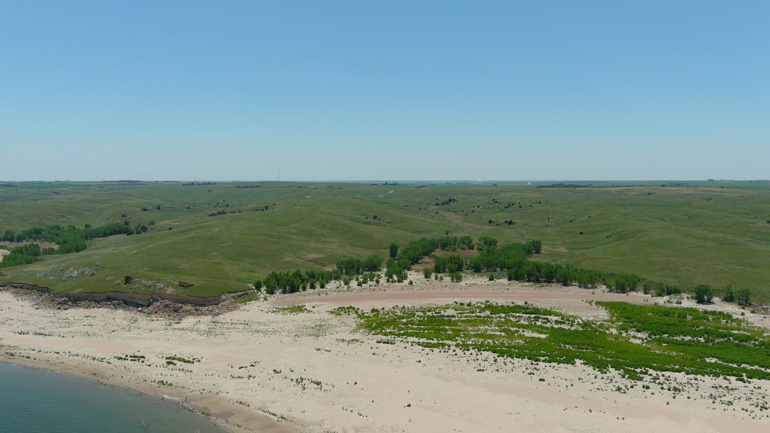
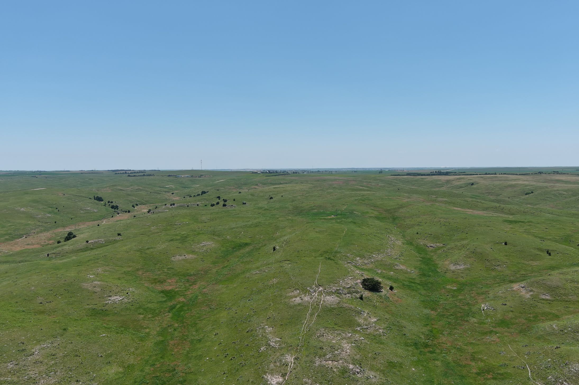
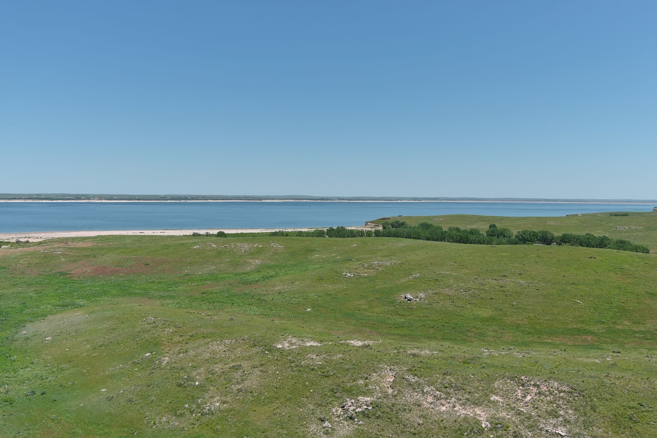
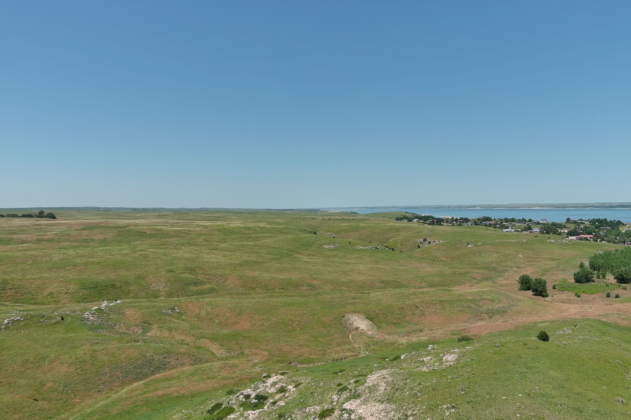
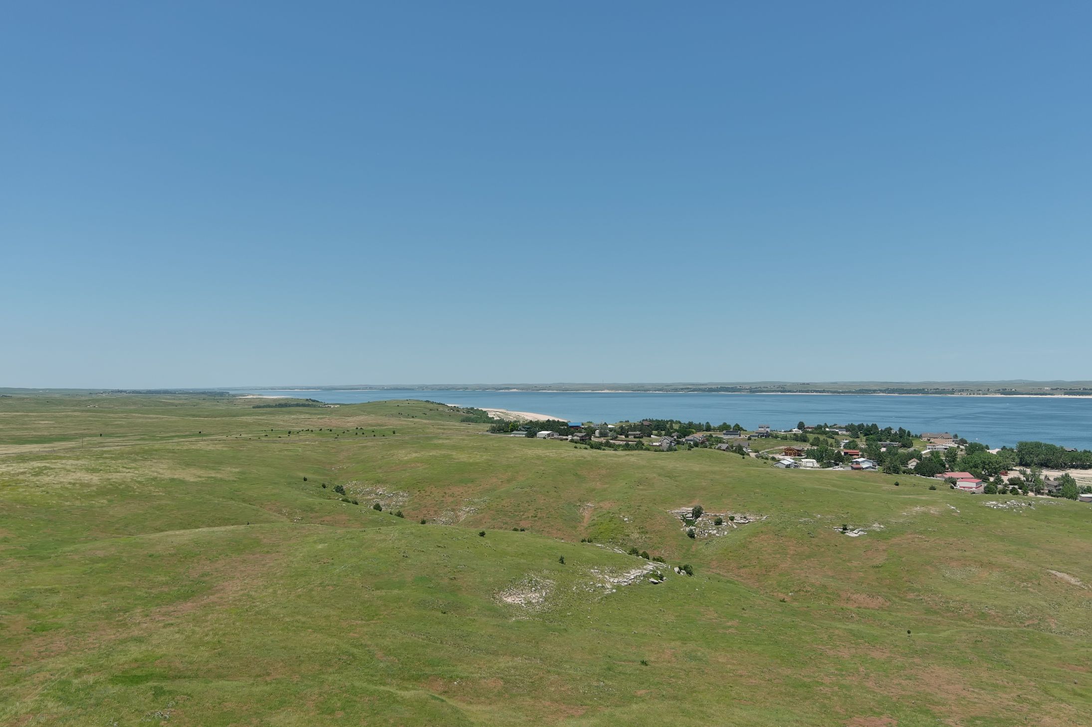
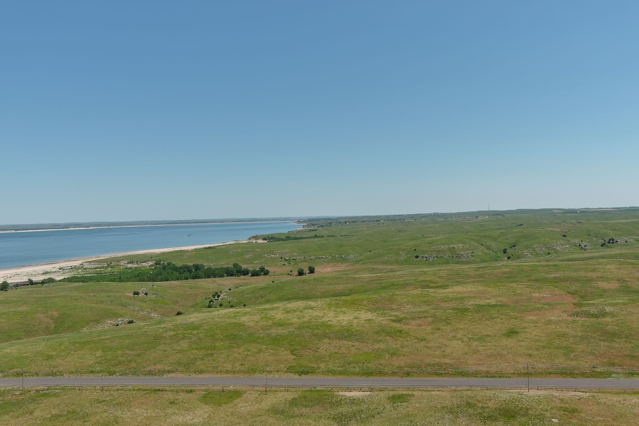
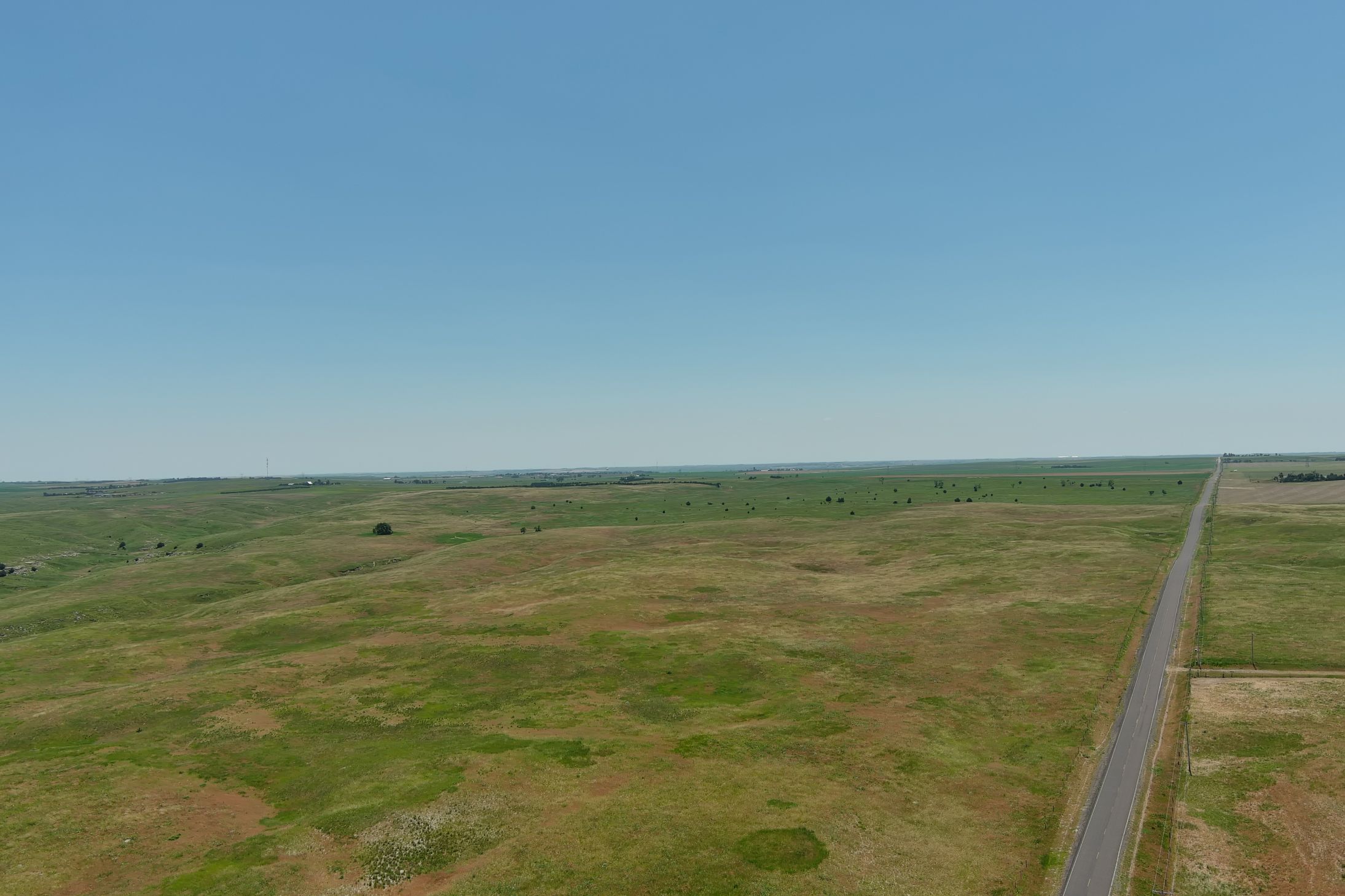
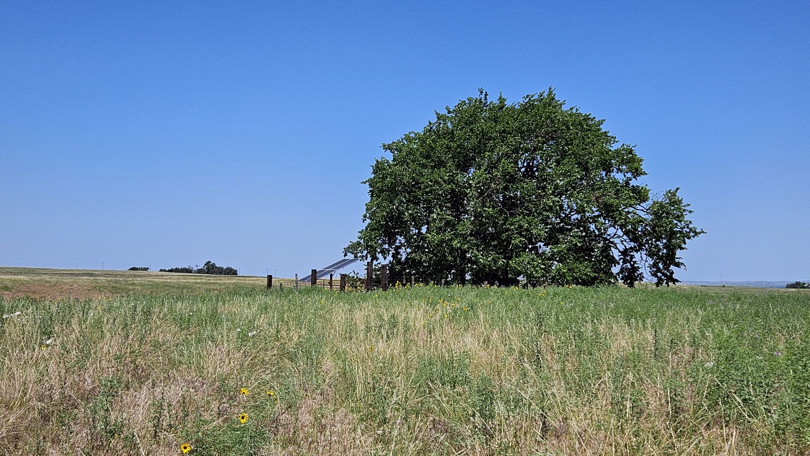
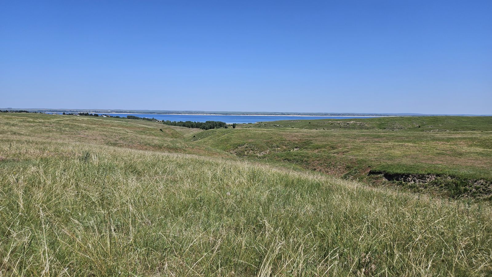
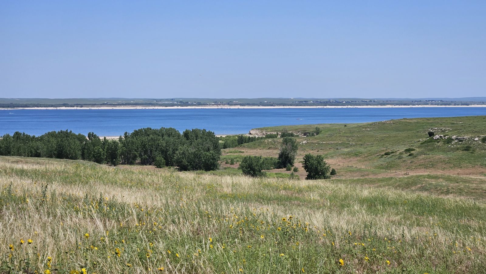
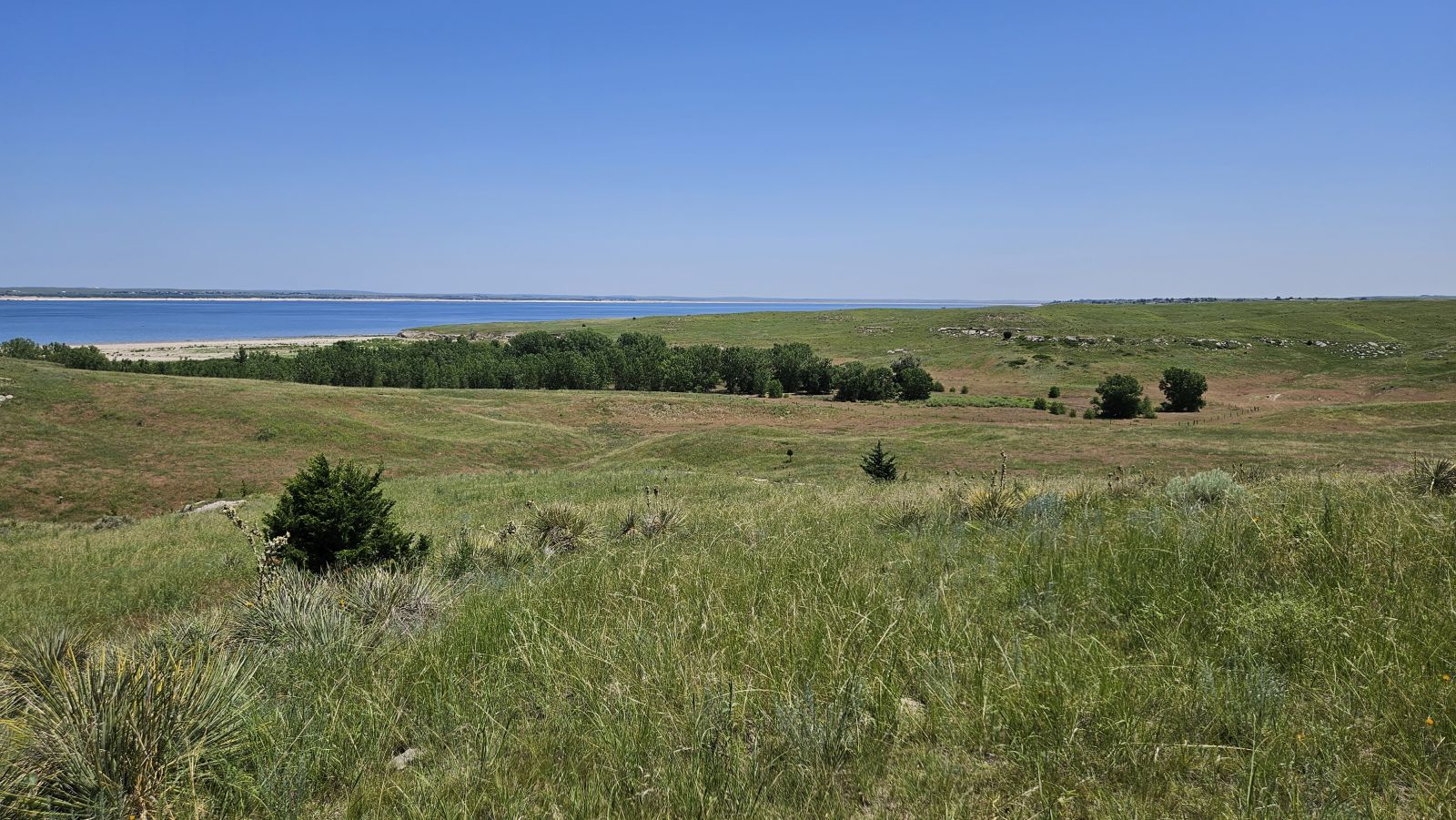
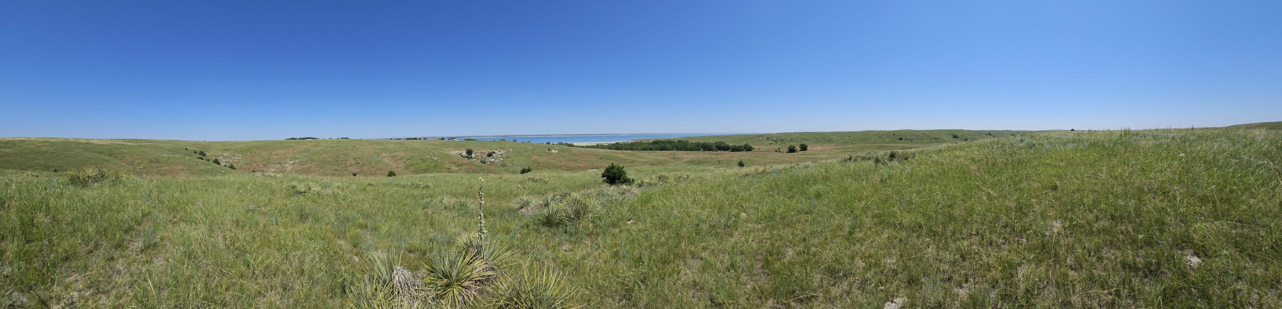
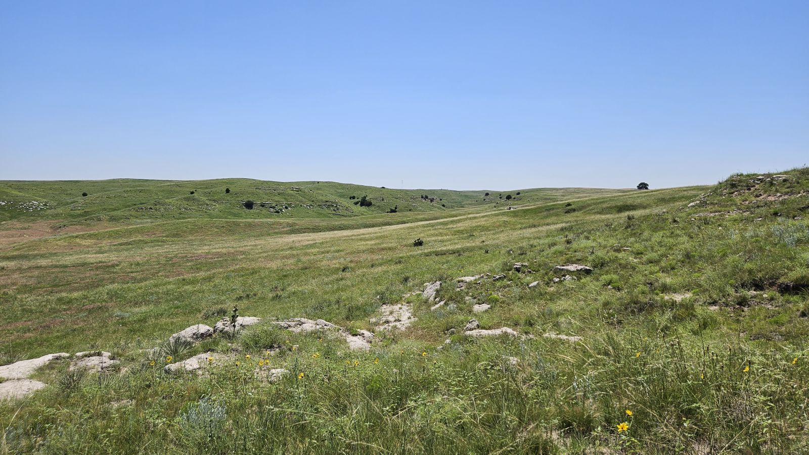
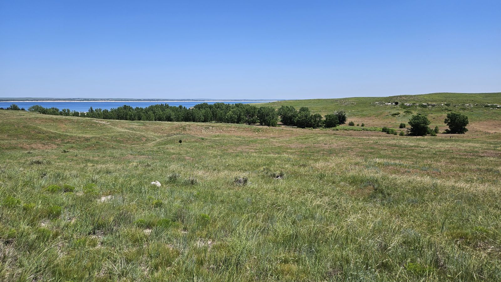
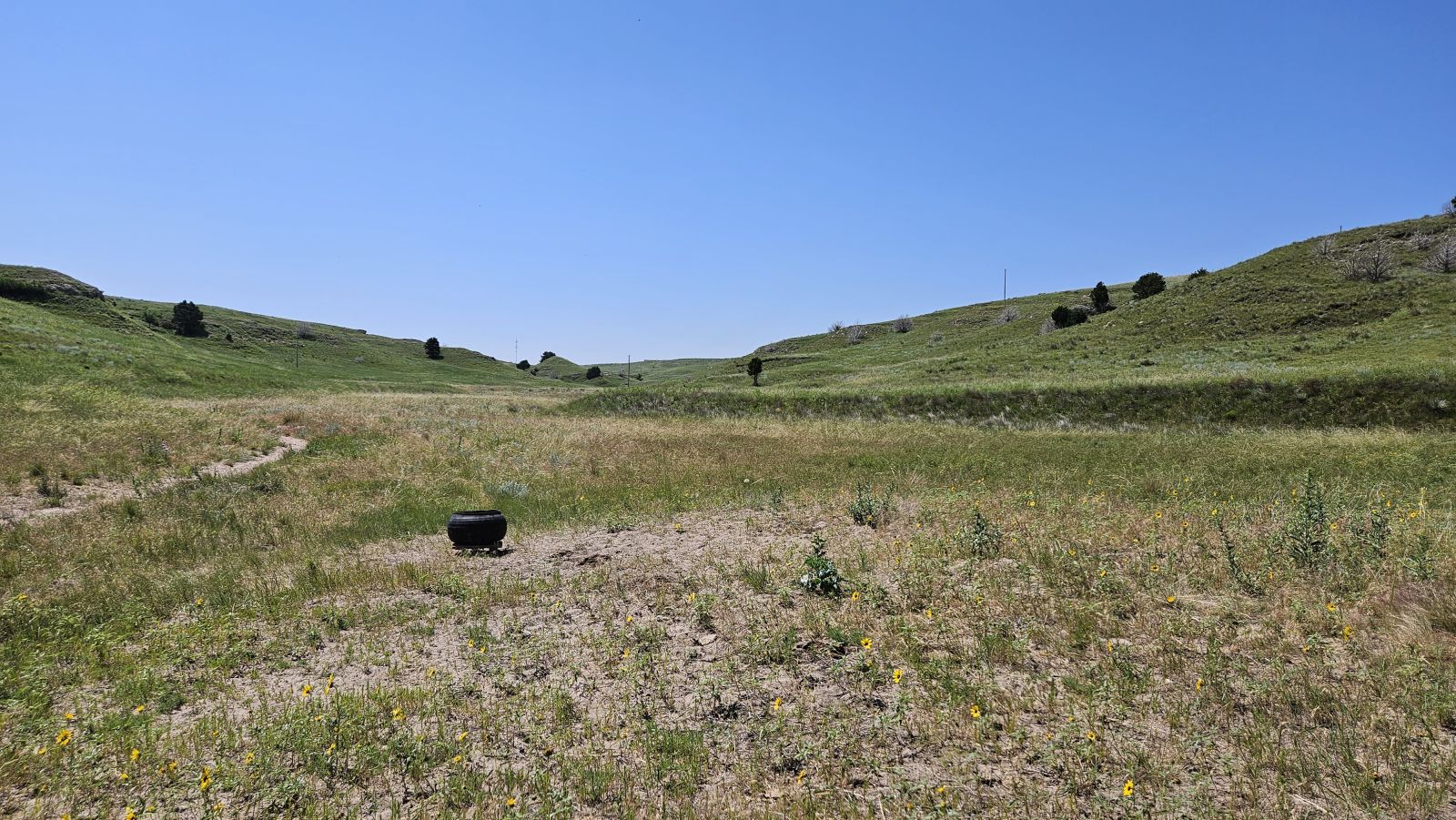
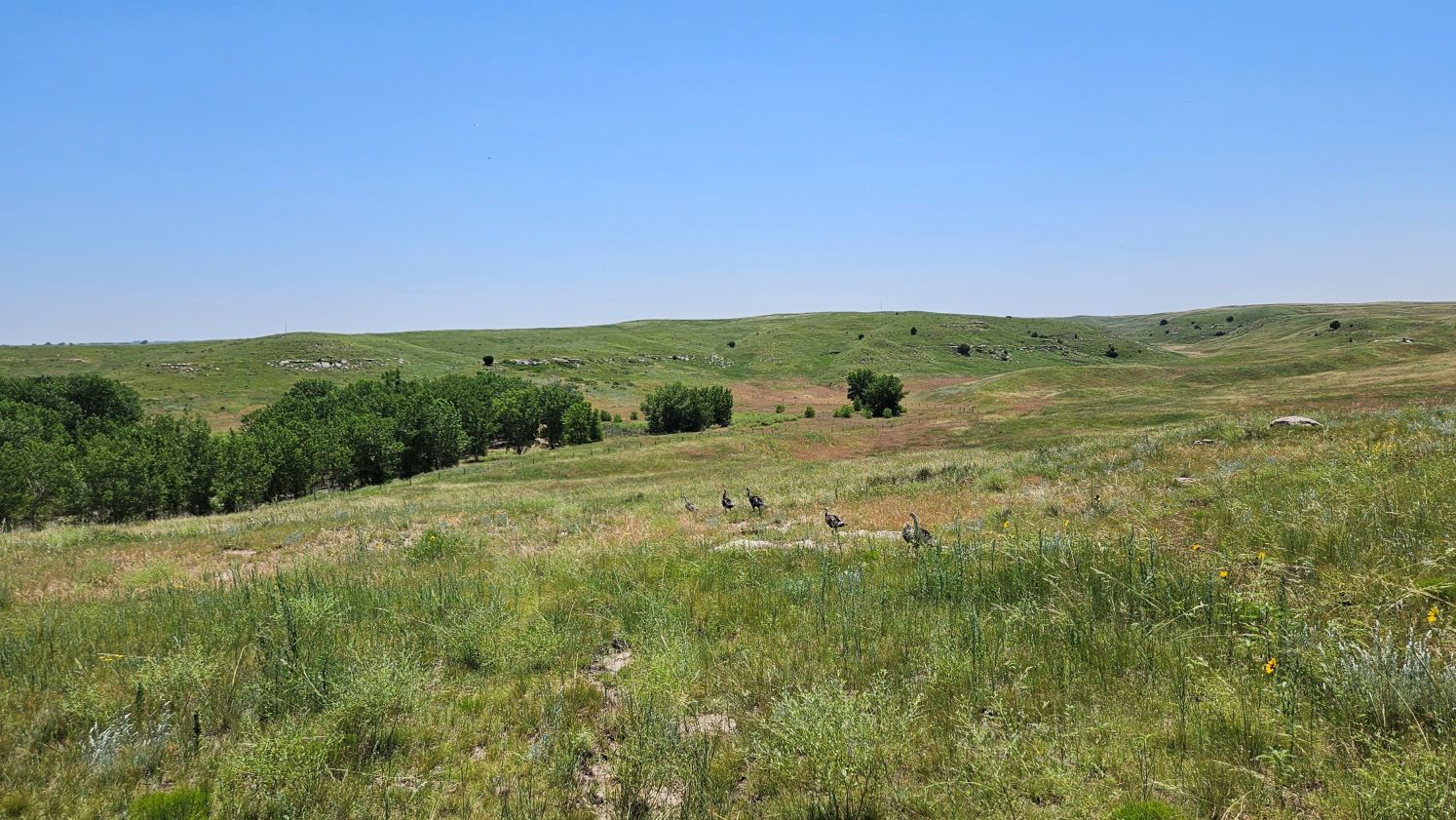
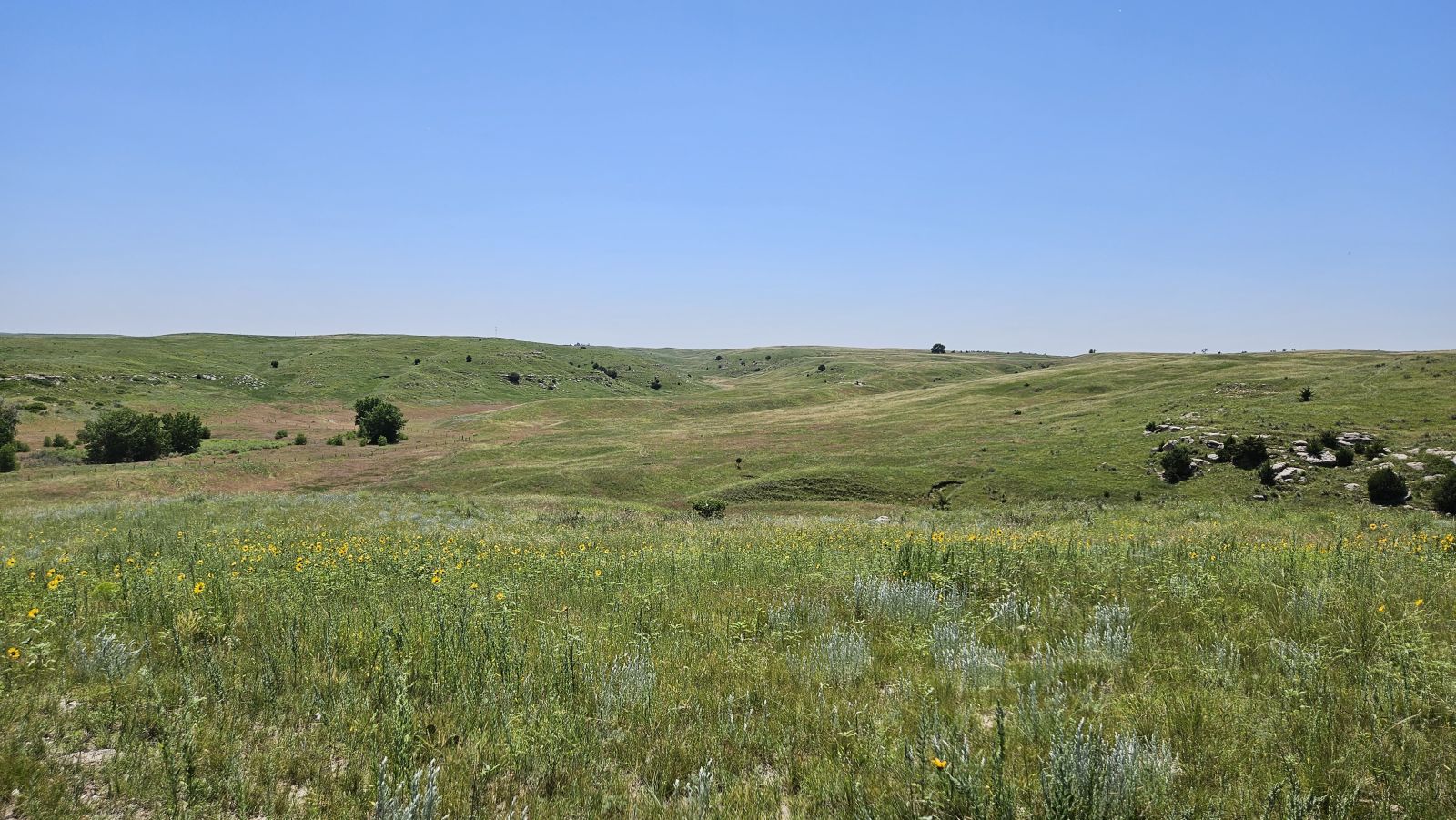
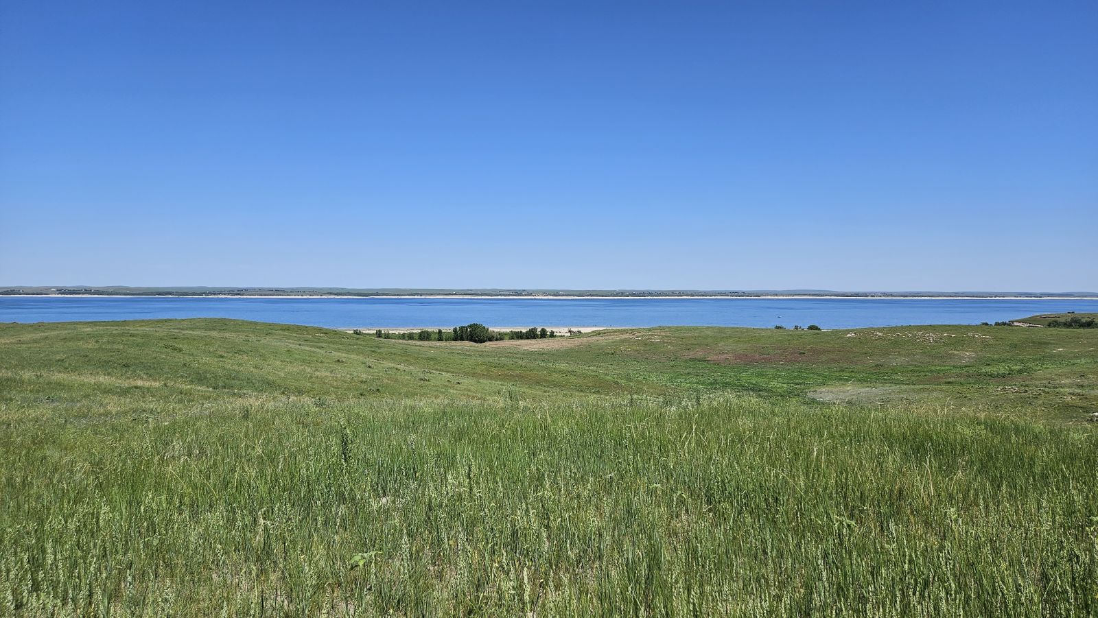
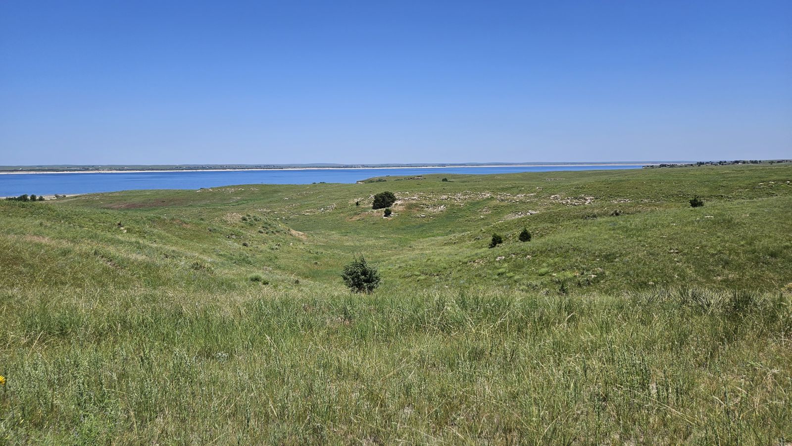
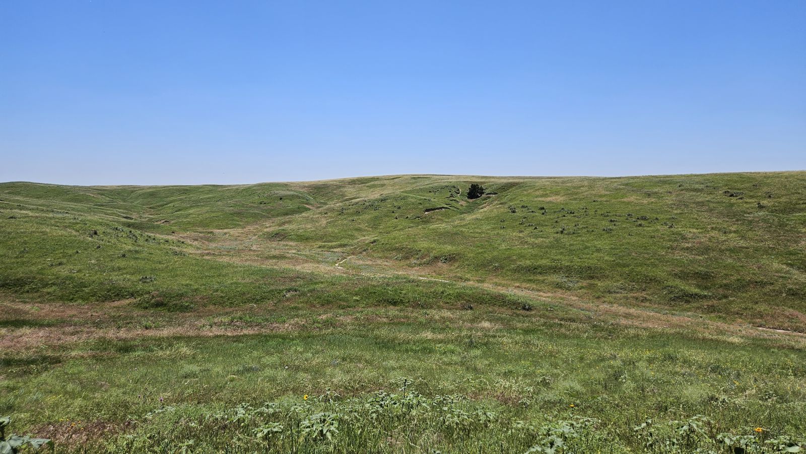
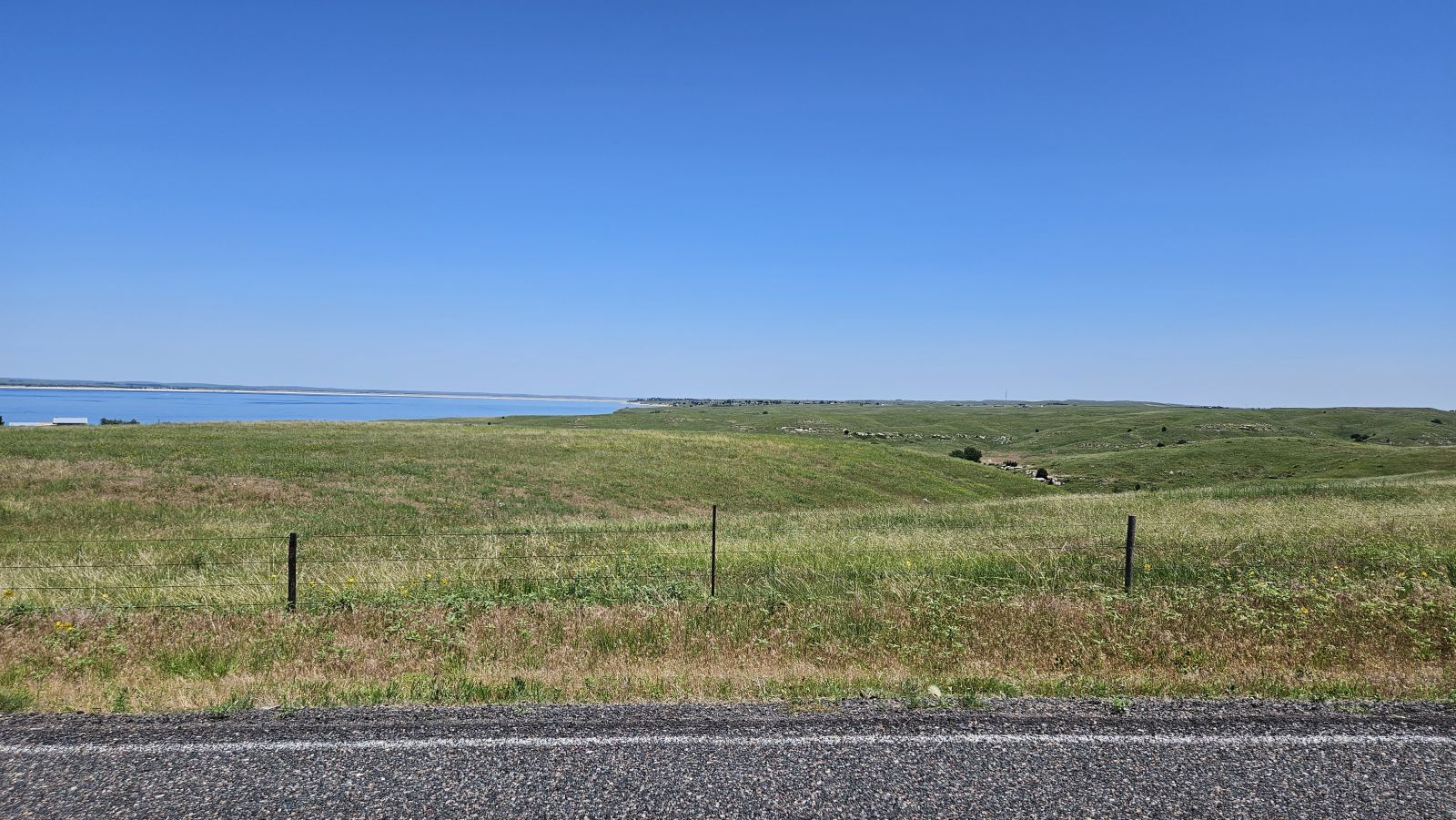
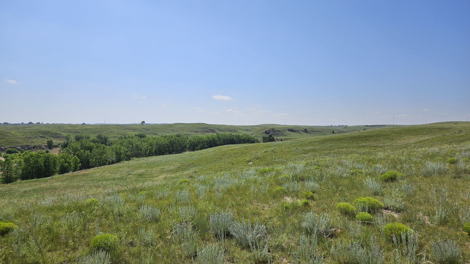
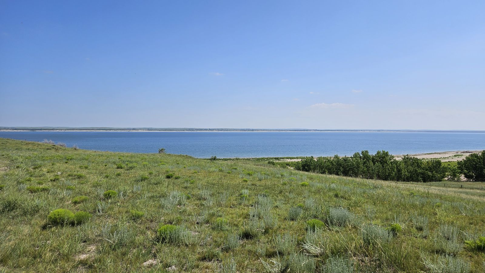
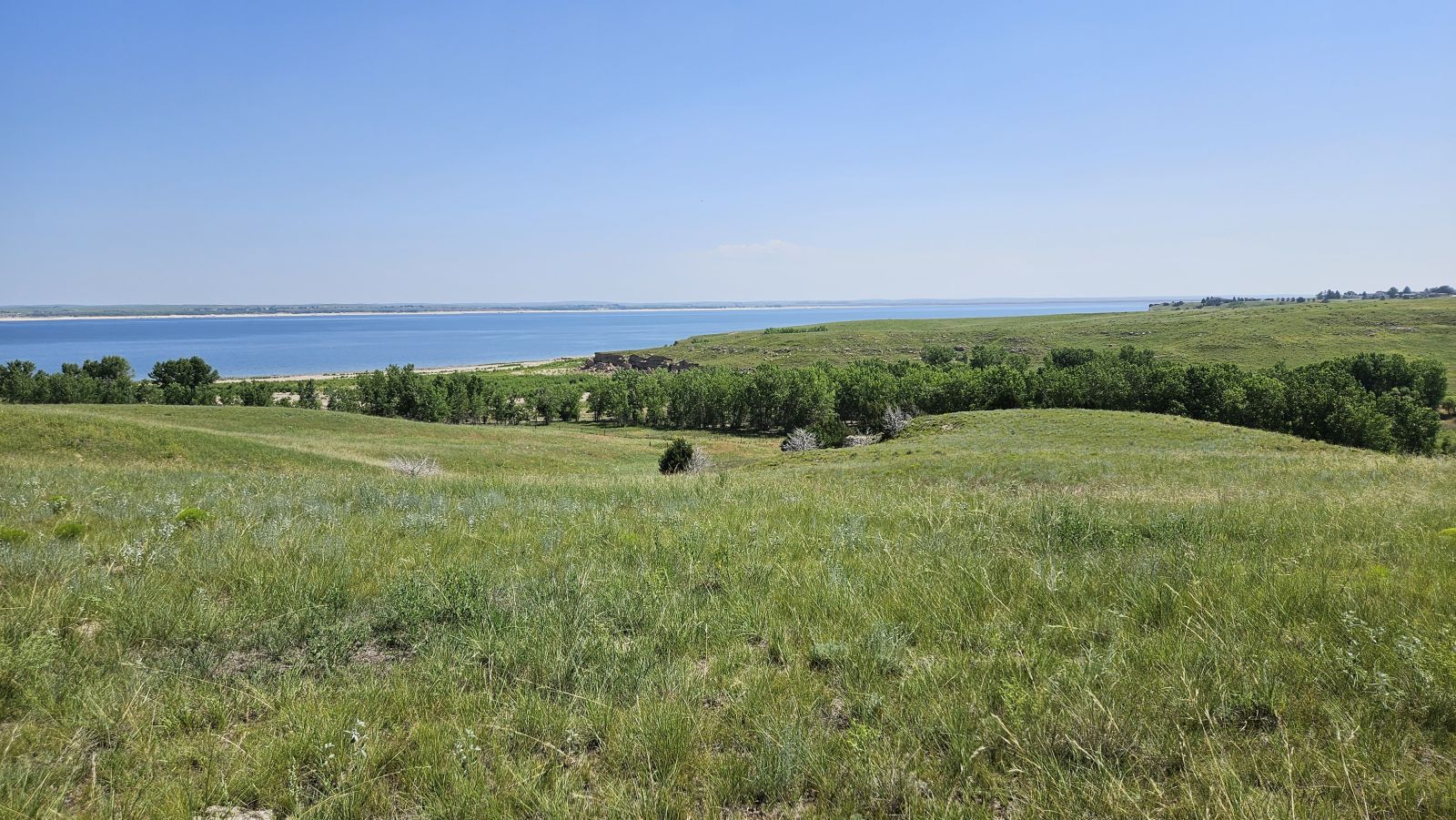
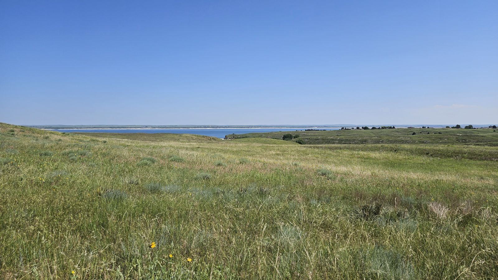
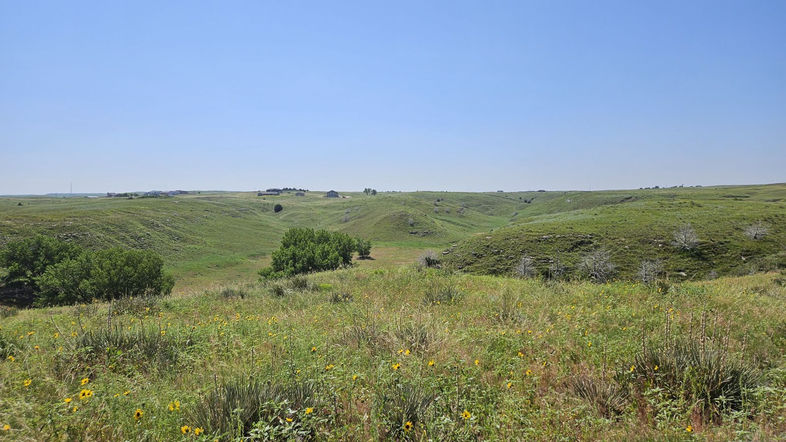
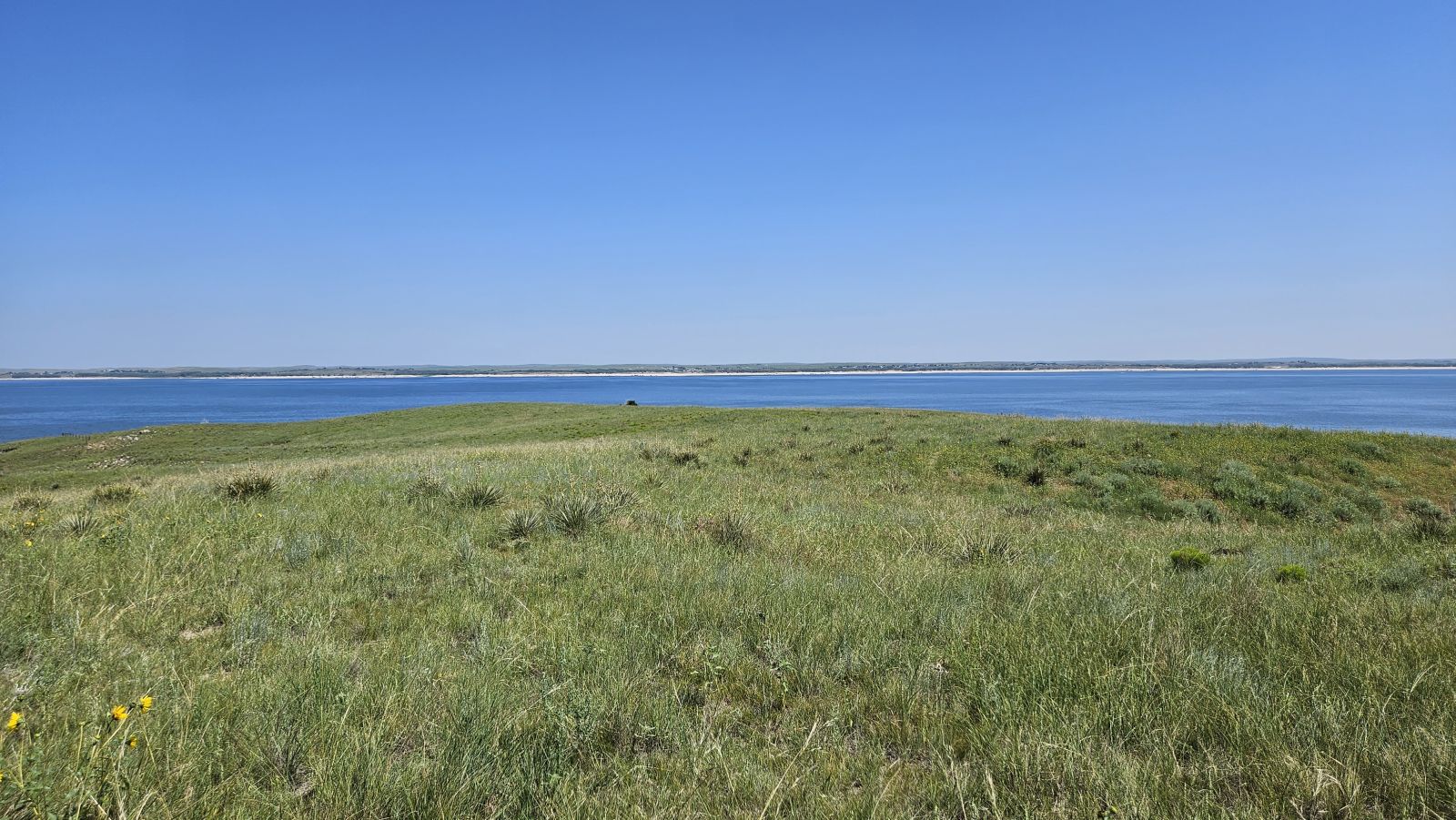
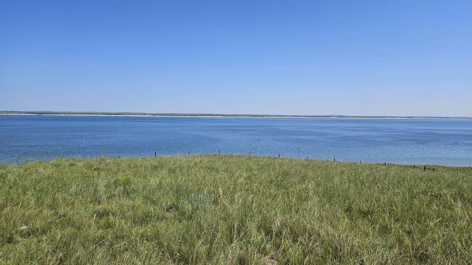
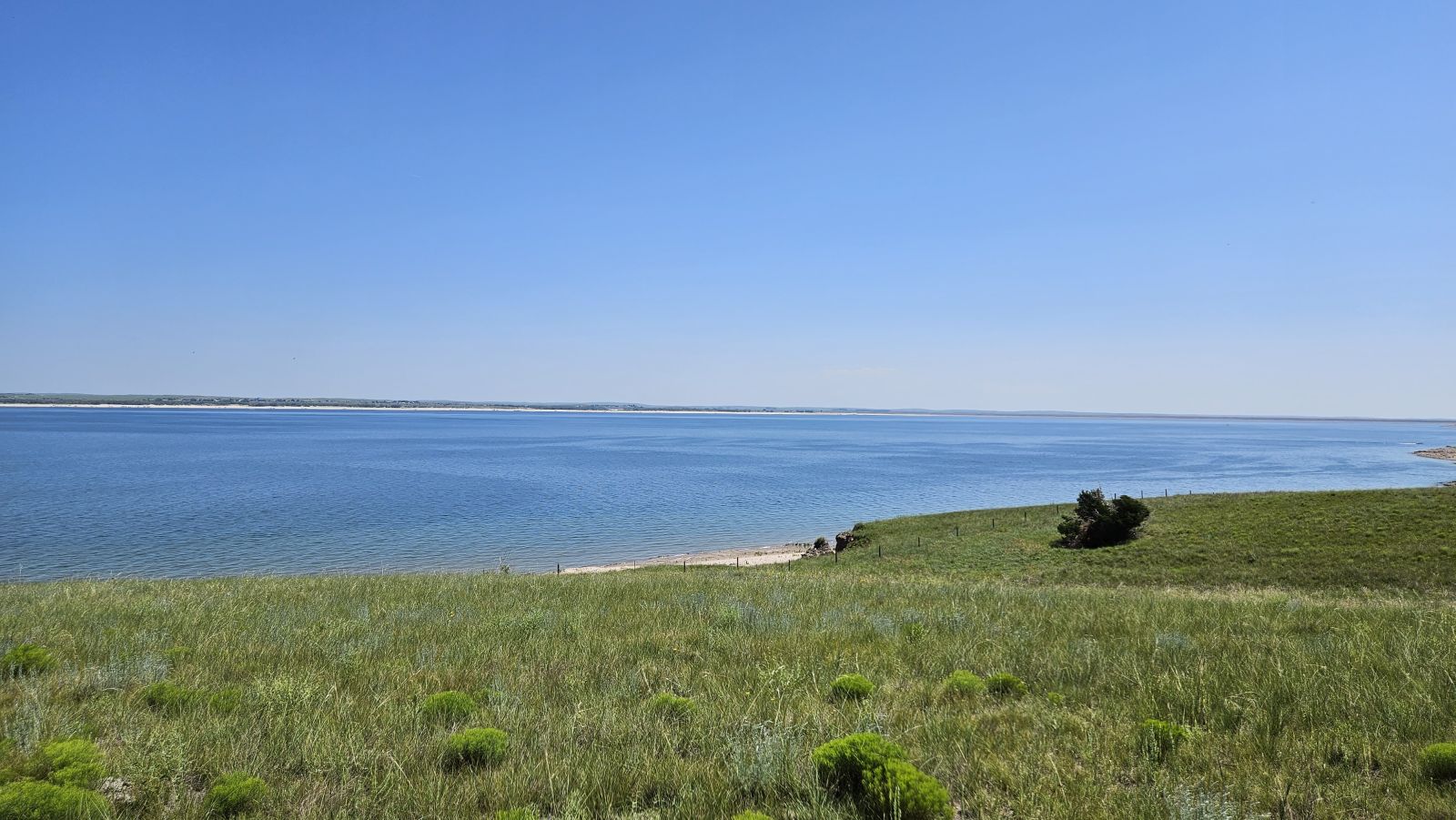
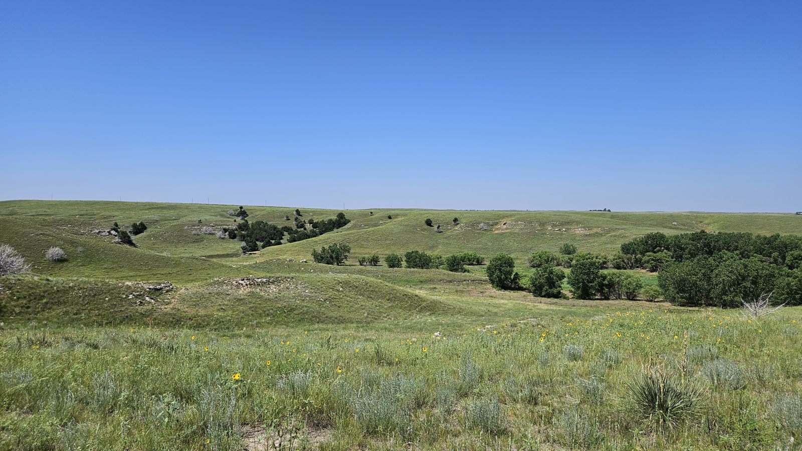
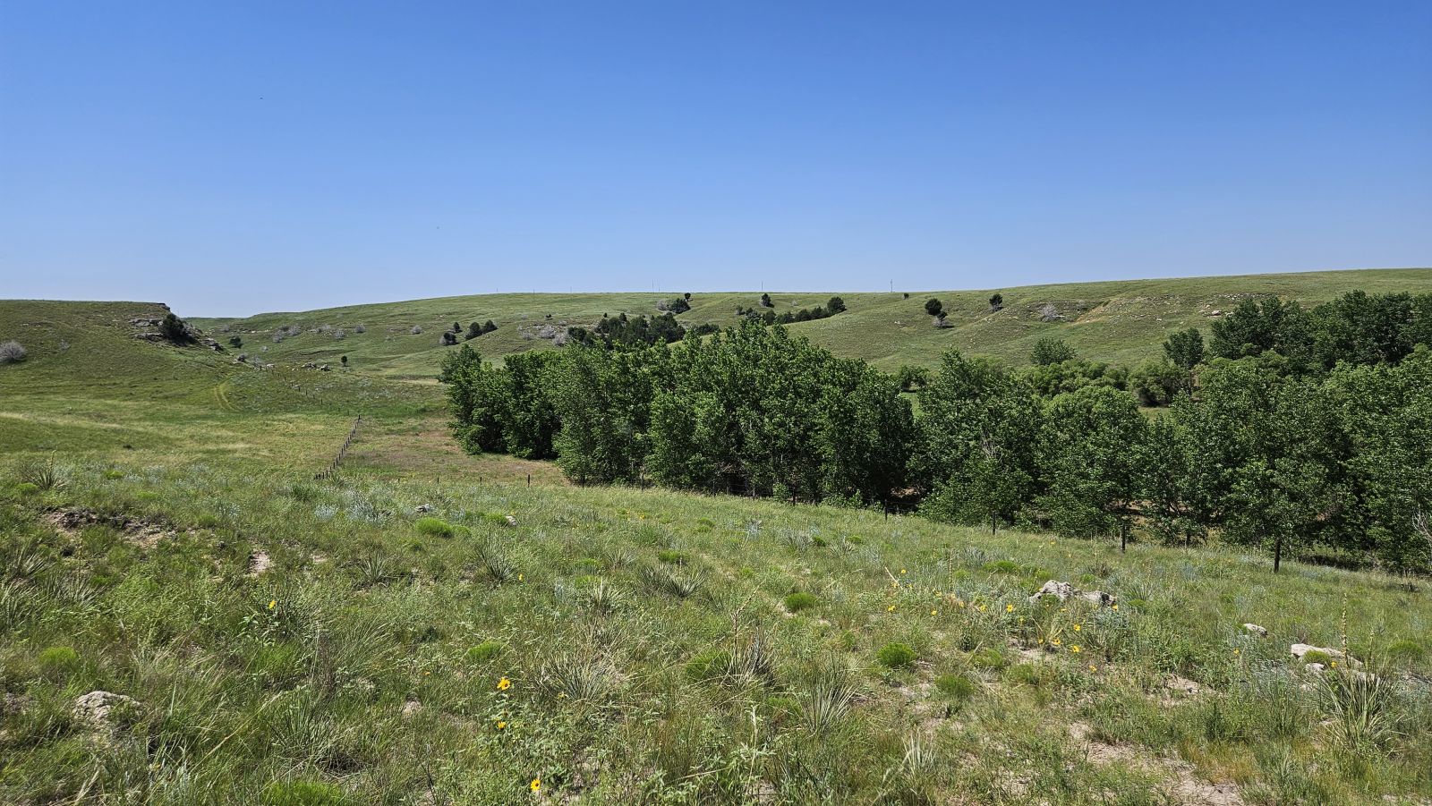
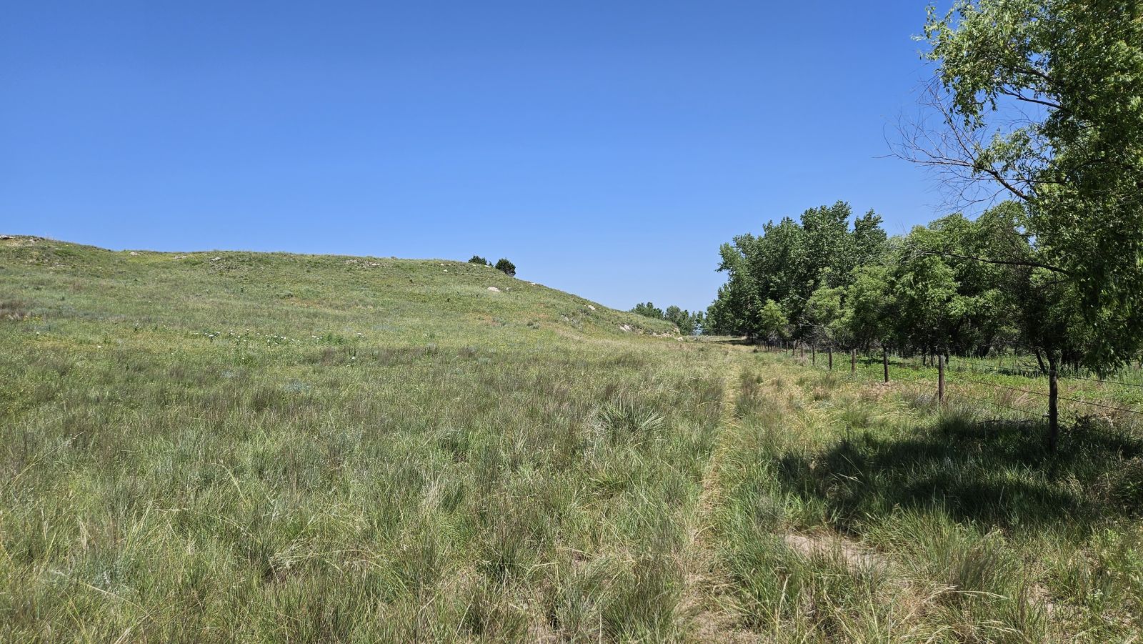
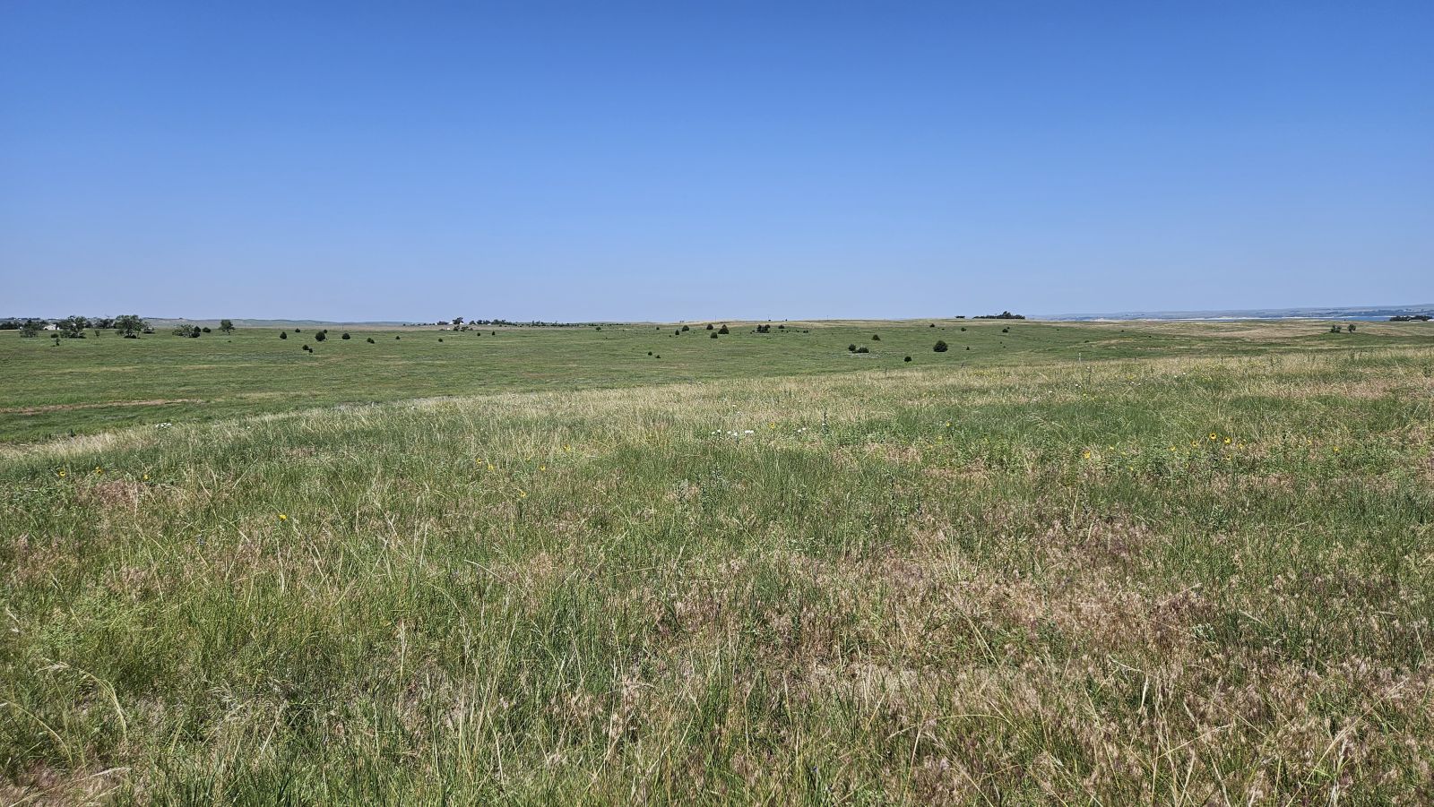
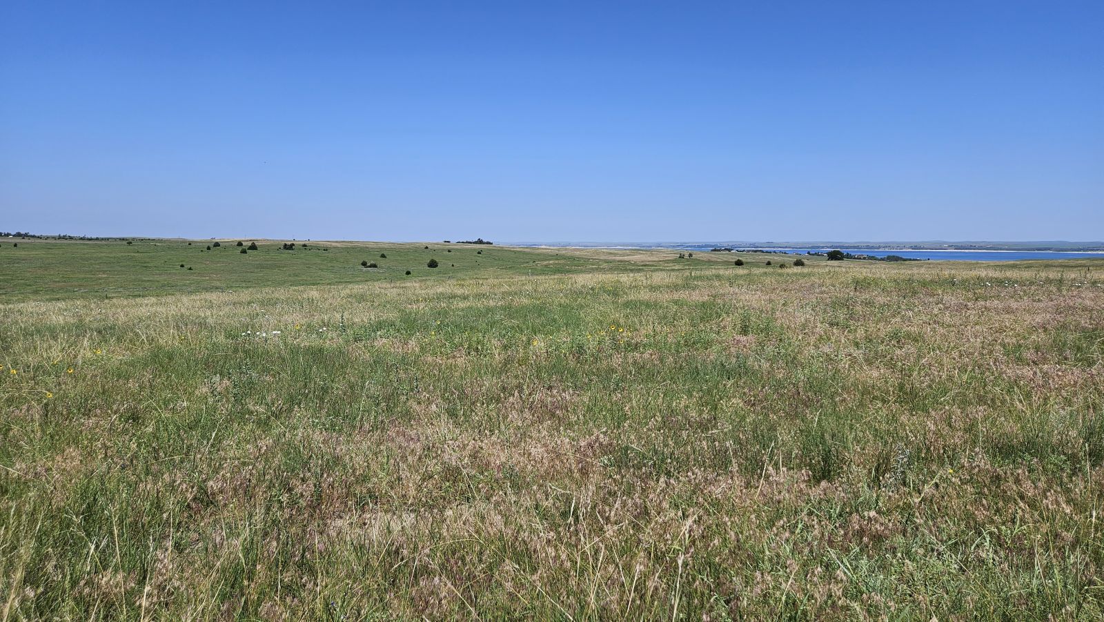
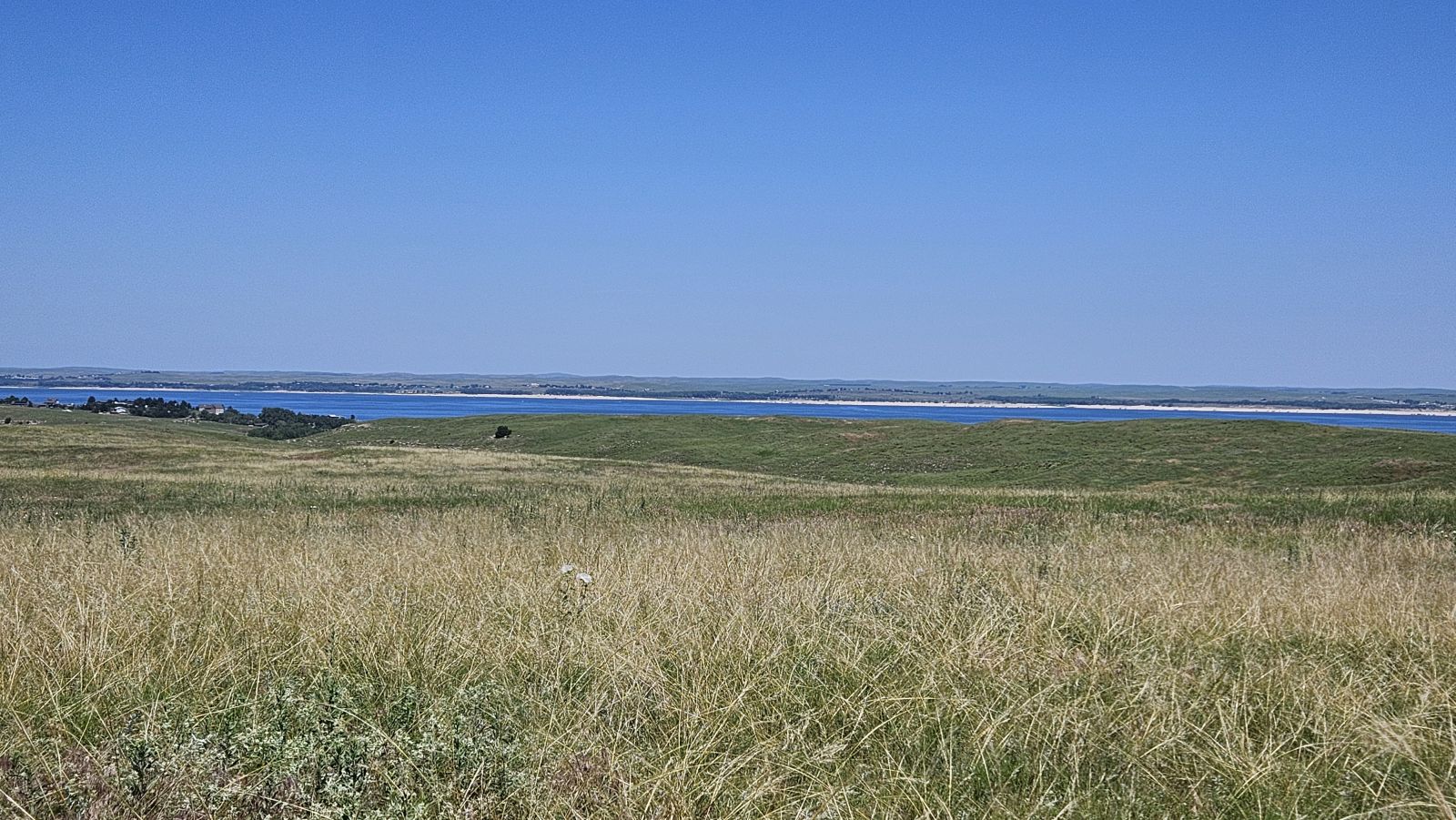
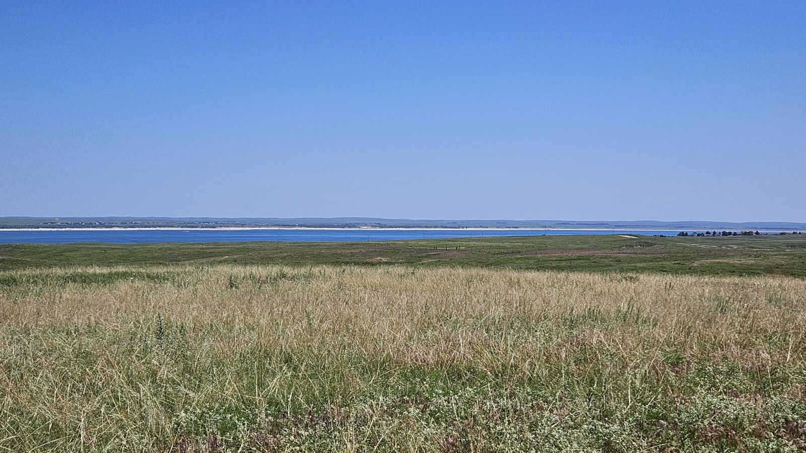
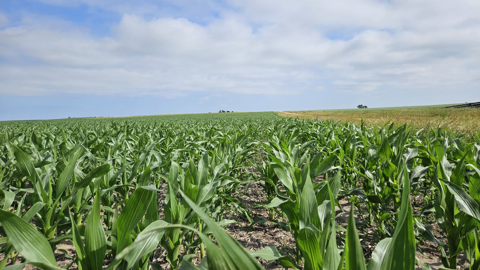
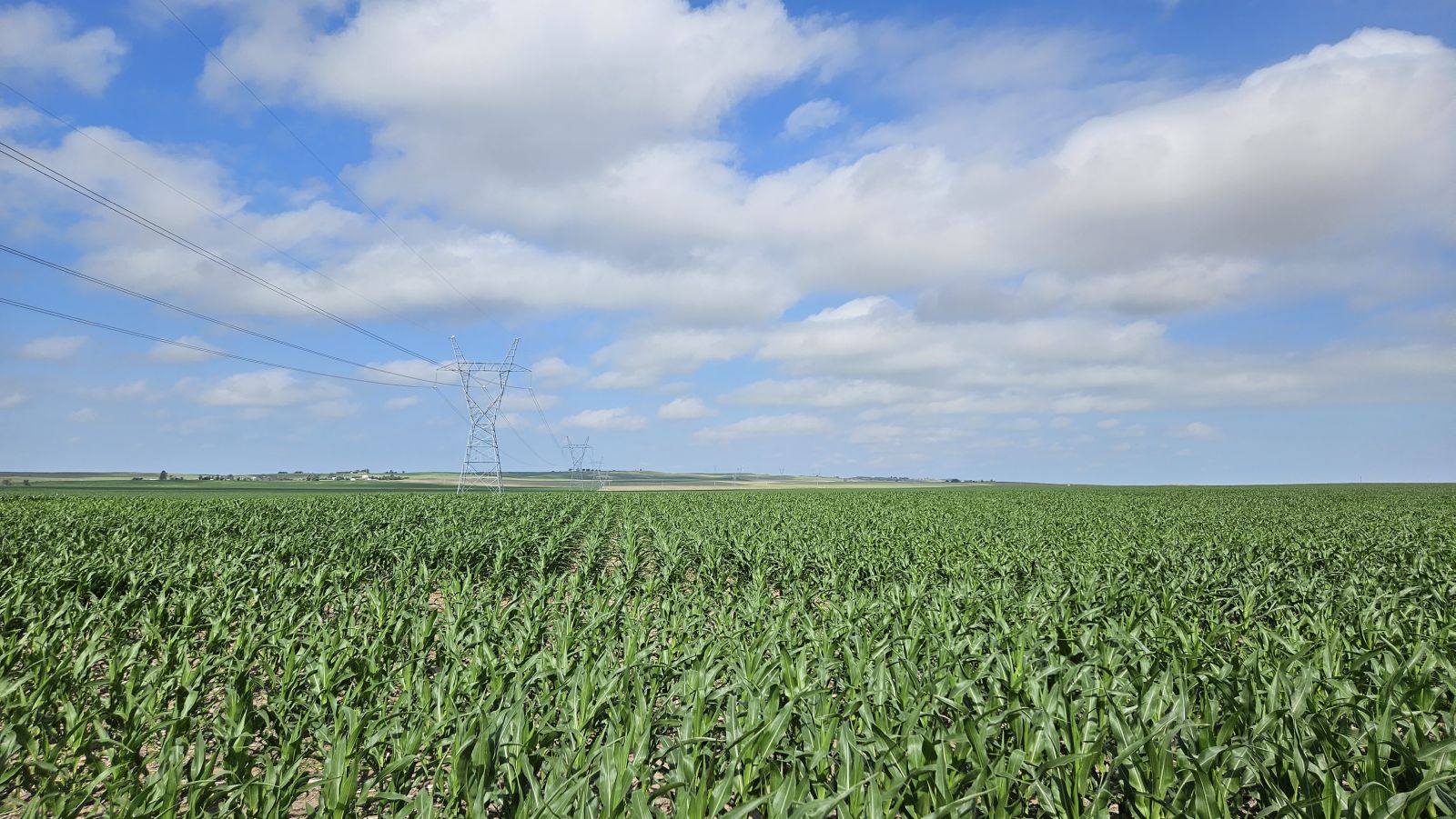
This unique property has several parcels with panoramic views of the water—offered in a variety of parcel sizes, combos, and/or units, this auction has something for everyone! An excellent hard-grass ranch with diverse topography that naturally creates potential home sites. A quarter-section of dry cropland is also available separately.
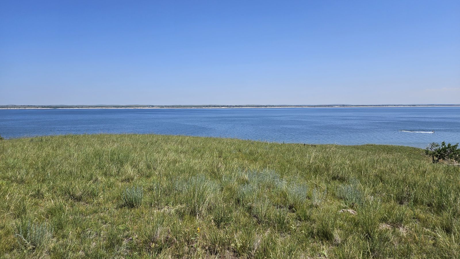
Known as an oasis for outdoor enthusiasts, Lake McConaughy and other area attractions offer countless opportunities for hunting, fishing, boating, and more! Links: Lake McConaughy | I Love Lake Mac
Property Under Contract:
Lakefront Unit: $4,950,000
Combo #5: $625,000
Parcel #6: $380,000
See parcel descriptions below.

Ranch Unit (Parcels #1-5):
Farm Parcel (Parcel #6):

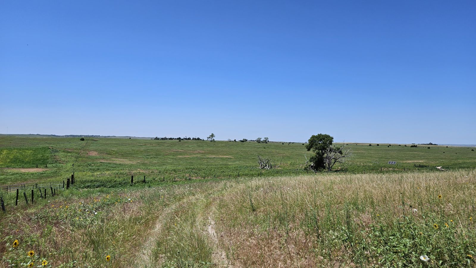
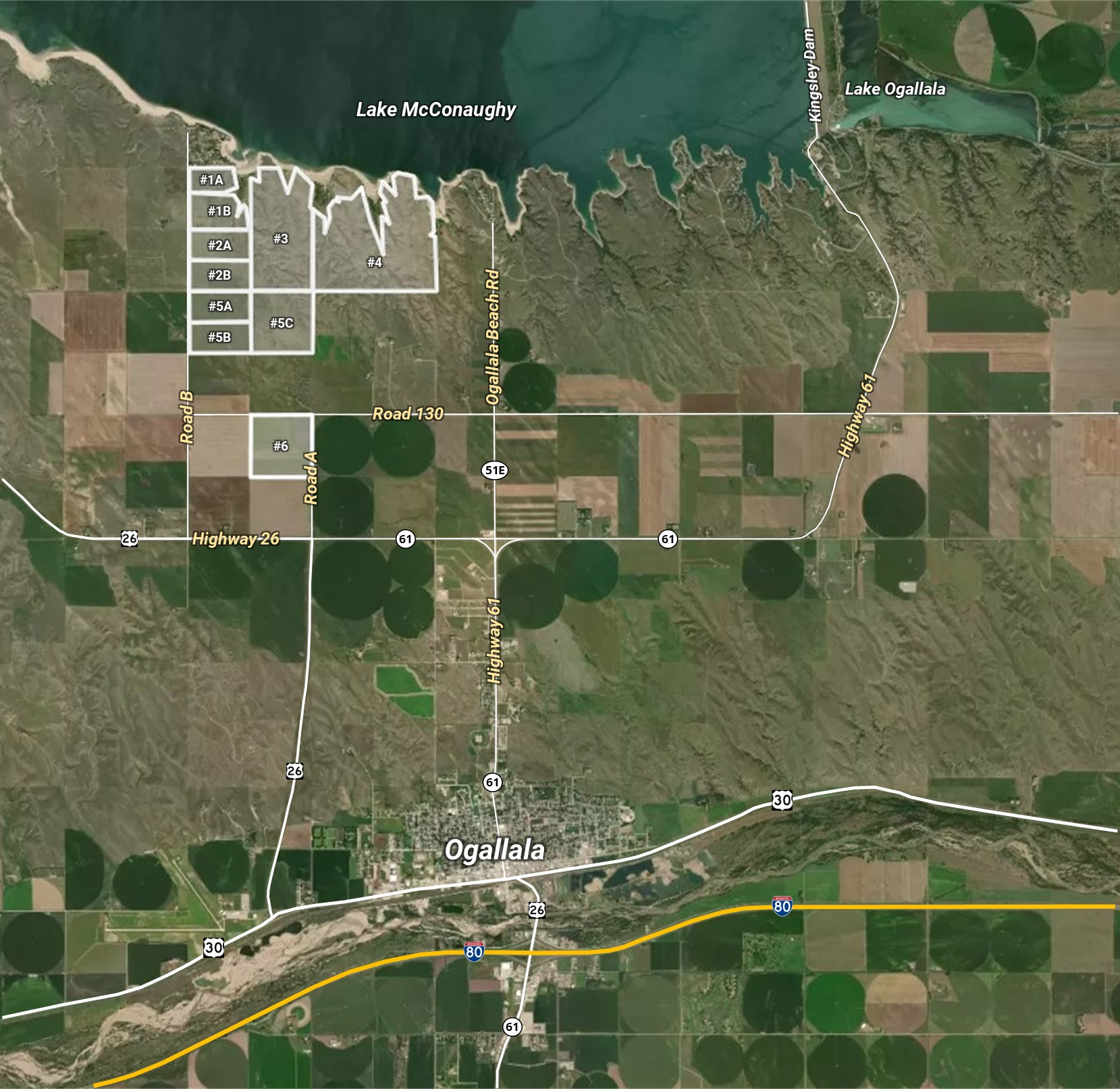
Parcel #1A – 46± acres pasture; no well
Parcel #1B – 82± acres pasture; no well
> Combo #1 – (#1A & #1B) – 128± acres pasture
Parcel #2A – 80± acres pasture; no well
Parcel #2B – 80± acres pasture; 1 stock well (solar) w/ 2 stock tanks
> Combo #2 – (#2A & #2B) – 160± acres pasture
Parcel #3 – 300± acres pasture; 1 stock well (elec.)
*An access easement will be conveyed from Road 130 north to the SE corner of Parcel #3.
>> Northwest Unit (#1A, #1B, #2A, #2B, #3) – 588± acres pasture; 2 stock wells
Parcel #4 – 467± acres pasture; 2 stock wells (elec.)
*An access easement will be conveyed from Road 130 north to the SW corner of Parcel #4.
>> Lakefront Unit (#1A, #1B, #2A, #2B, #3, #4) – 1,055± acres; 4 stock wells; 2± miles frontage along Lake Mac
*An access easement will be conveyed from Road 130 north to the SW corner of Parcel #4.
Parcel #5A – 80± acres pasture; no well
Parcel #5B – 80± acres pasture; no well
Parcel #5C – 160± acres pasture; 1 stock well (solar)
*An access easement will be conveyed from Road 130 north along the eastern boundary of #5C.
> Combo #5 – (#5A, #5B, #5C) – 320± acres
>> Ranch Unit (#1A, #1B, #2A, #2B, #3, #4, #5A, #5B, #5C)
1,375± acres pasture; 5 stock wells; fenced into 3 pastures
Parcel #6 – 160± acres with 132.8± ac dryland, 22.9± ac grass; April 2024 possession (after use of cornstalks)
Contact us to request a Due Diligence Packet with more detailed information or view it digitally HERE
Interactive Map - Click to View More
Announcements made by Reck Agri Realty & Auction at the time of sale will take precedence over any previously printed material or other oral statements.
Revised September 12, 2023.
AUCTION PROCEDURE: The Ivers Partnership @ Lake McConaughy property will be offered for sale in 10 parcels, 3 combos, and 3 units.
SALE TERMS/PROCEDURE: The “IVERS PARTNERSHIP AT LAKE MCCONAUGHY” is a live auction with RESERVE. Competitive bids will determine the outcome of the auction. Seller reserves the right to accept or reject any and all bids. Seller agrees not to accept and negotiate any contracts to purchase prior to auction date. Bids will be taken for total purchase price not price per acre.
SIGNING OF PURCHASE CONTRACT: Upon the conclusion of the auction, the highest bidder(s) will sign a Disclosure of Brokerage Relationships in Real Estate Transactions and will enter into and sign a Farm, Ranch, and Land Purchase Agreement for the amount of the bid. Required earnest money deposit to be in the form of a personal, business, or corporate check for 15% of the purchase price, which is due upon the signing of the contract and to be deposited with Reck Agri Realty & Auction. Purchase contract will not be contingent upon financing. Terms and conditions in the Due Diligence Packet and oral announcements shall be incorporated and made a part of the Farm, Ranch, and Land Purchase Agreement. Sample of said purchase agreement is available within the Due Diligence Packet.
CLOSING: Buyer(s) shall pay in good funds, the balance of purchase price plus their respective closing costs, and sign and complete all customary or required documents at closing, which is on or before October 20, 2023; this closing date applies to all Parcels, Combos & Units, except Parcel #6. Closing on Parcel #6 shall be January 10, 2024. Closings to be conducted by Thalken Title Co. and the closing service fee to be split 50-50 between Seller and Buyer(s).
TITLE: Seller to pass title by Warranty Deed free and clear of all liens, encumbrances, special assessments levied or assessed, and subject to all easements and restrictions or covenants now of record. Title commitments are available for review within the Due Diligence Packet and title commitment and exceptions will be incorporated and made a part of the Farm, Ranch, & Land Purchase Agreement. Title Insurance to be used as evidence of marketable title and cost of the premium to be split 50-50 between Seller and Buyer(s), except Buyer(s) to pay for cost of loan title insurance policy, if applicable. The Buyer(s) to receive a TBD title commitment within Due Diligence Packet, updated title commitment with Buyer(s) name, lender, purchase price, and all supplements and additions thereto after auction, and an owner’s title insurance policy in an amount equal to the purchase price after closing. Property to be sold subject to existing roads and highways; established easements and rights-of-way; prior mineral reservations; and other matters affected by title documents shown within the title commitment; and zoning, building, subdivision, and other restrictions and regulations of record.
POSSESSION: Seller to reserve hunting and grazing rights on the property until December 31, 2023; this applies to all Parcels, Combos & Units, except Parcel #6. Seller to reserve possession of corn stalks on Parcel #6 until April 1, 2024.
PROPERTY CONDITION: Prospective Buyer(s) should verify all information contained herein. All prospective bidders are urged to fully inspect the property, its condition, and to rely on their own conclusions and the property is being sold AS IS-WHERE IS, without warranty, representation or recourse to Seller.
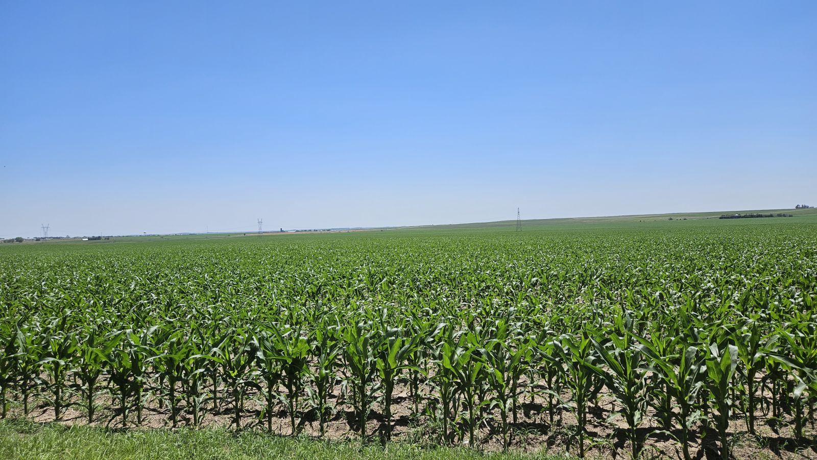
GROWING CROPS: None
REAL ESTATE TAXES: 2023 Real Estate Taxes due in 2024 to be paid by Seller. Buyer(s) to pay all of the 2024 real estate taxes.
FSA DETERMINATION: FSA base acres and yields to pass with the property as designated within the Due Diligence Packet. Buyer and Seller, at closing, to sign a Memorandum of Understanding (MOU) stating the base acres and yields as designated within the Due Diligence Packet.
LEGAL DESCRIPTION: Legal descriptions are subject to existing fence/field boundaries or land-use trades, if any. A survey with pinned corners will be provided by Seller if any of the
following Parcels sell separately or as part of a Combo: #1A, #1B, #2A, #2B, #3, #5A, #5B, & #5C. Seller & Buyer(s) agree that closing may be extended up to 30 days if necessary to complete said survey(s). Cost of survey(s) to be paid by Seller. Final sales prices will not be adjusted if surveyed acreage is different than stated acres herein.
MINERALS: Seller to convey all OWNED mineral rights to Buyer(s).
NOXIOUS WEEDS: There may be areas infested by noxious weeds. The location of and the density of noxious weeds is unknown.
ACREAGES: All stated acreages in the Color Brochure, Due Diligence Packet, and visual presentation at the auction are approximate and are obtained from the FSA office and/or county tax records. Both sources may indicate different acreages and no warranty is expressed or implied as to exact acreages of property. All bids are for the total parcel without regard to exact acreage. There will be no adjustment in purchase price if acreage is different than what is stated in this brochure and/or stated at the auction.
ZONING: All parcels on the property are currently zoned “Agriculture District” (A) per Keith County Planning & Zoning. Current regulations allow one dwelling per quarter-section as a use-by-right. An additional dwelling within a quarter-section would require a Special Use Permit or possible re-zoning, subject to county approval.
BIDDER REQUIREMENTS: To register to bid, Buyer(s), prior to the auction, must review and accept the Due Diligence Packet with the full auction terms and conditions, property descriptions, pertinent information, title commitments, and sample contracts. Due Diligence Packet may be obtained by visiting auction property page at reckagri.com, or by calling Reck Agri Realty & Auction. Bidding via cell phone, internet, and/or bidding on someone’s behalf, must be approved by Reck Agri Realty & Auction 24 hours prior to auction.
MULTIPLE PARTY BID: If several parties go together and collectively bid on parcel(s) and the Multiple Party Bid is the highest bid, at the conclusion of the auction each party within the Multiple Party Bid shall identify and agree to sign separate contract(s), pay for their respective separate parcel(s) at closing, and pay for a metes & bounds survey and additional title insurance premium to create the legal description for their respective separate parcel. The collective purchase prices for the separate parcels shall equal the total Multiple Party Bid.
ANNOUNCEMENTS: The information contained herein has either been given to us by the owner of the property or obtained from sources that we deem reliable. We have no reason to doubt its accuracy, but we do not guarantee it. Reck Agri Realty & Auction and the Seller assume no responsibility for the omissions, corrections, or withdrawals. The location maps are not intended as a survey and are for general location purposes only. Reck Agri Realty & Auction and all other agents of Broker are or will be acting as a Limited Seller’s Agent. Announcements made by Reck Agri Realty & Auction, at the time of sale will take precedence over any previously printed material or other oral statements. Reck Agri Realty & Auction does not offer broker participation for this auction. Reck Agri Realty & Auction reserves the right to require bank references upon request and reserves the right to refuse bids from any bidder. Bidding increments are at the discretion of the Broker.
COPYRIGHT: Photographs, videos, Color Brochure & Due Diligence Packets are property of Reck Agri Realty & Auction and cannot be reproduced without permission.
NOTICE TO PROSPECTIVE BUYER(S): The information contained herein has either been given to us by the owner of the property or obtained from sources that we deem reliable. We have no reason to doubt its accuracy, but we do not guarantee it. Reck Agri Realty & Auction and the Seller assumes no responsibility for the omissions, corrections, or withdrawals. The location and aerial maps are not intended as a survey and are for general location purposes only. The prospective Buyer(s) should verify all information contained herein. All prospective buyers are urged to fully inspect the property, its condition and to rely on their own conclusions. All equipment and improvements are to be sold AS IS-WHERE IS, without warranty, representation, or recourse to Seller.